
Place · 0.1 mi away
Easy
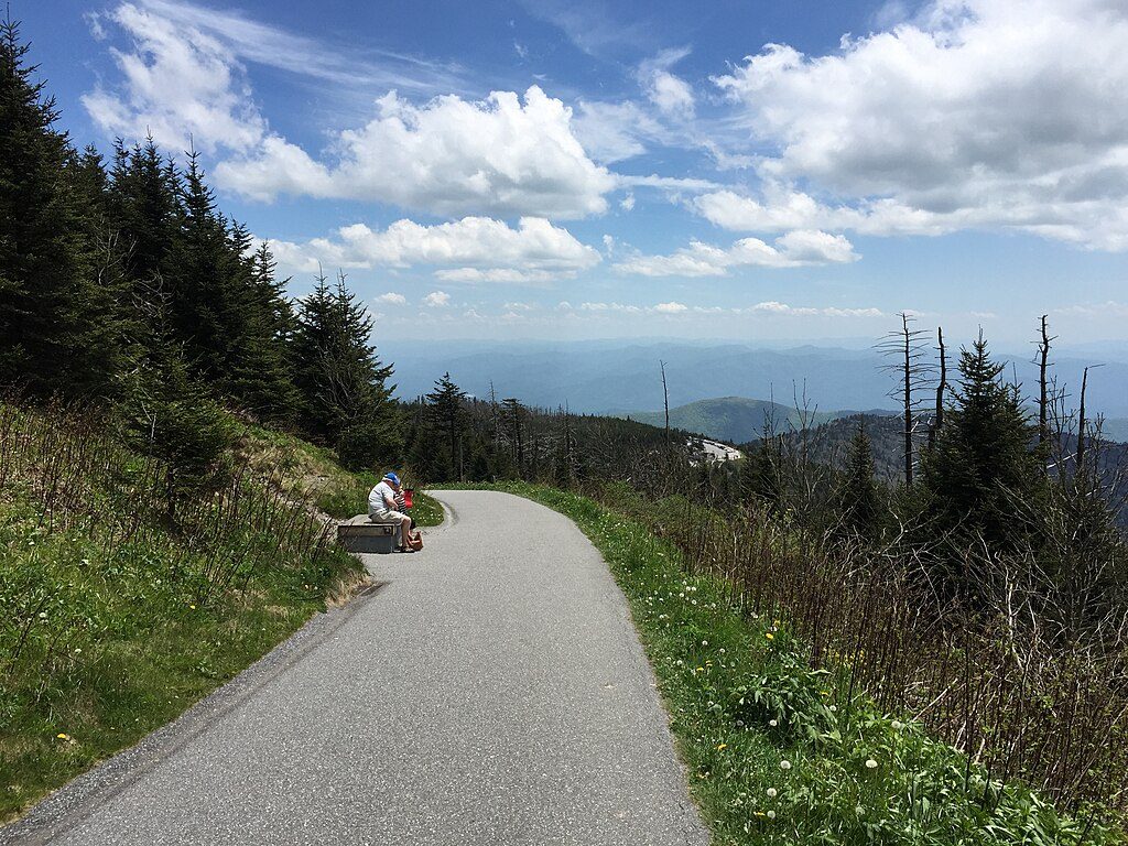
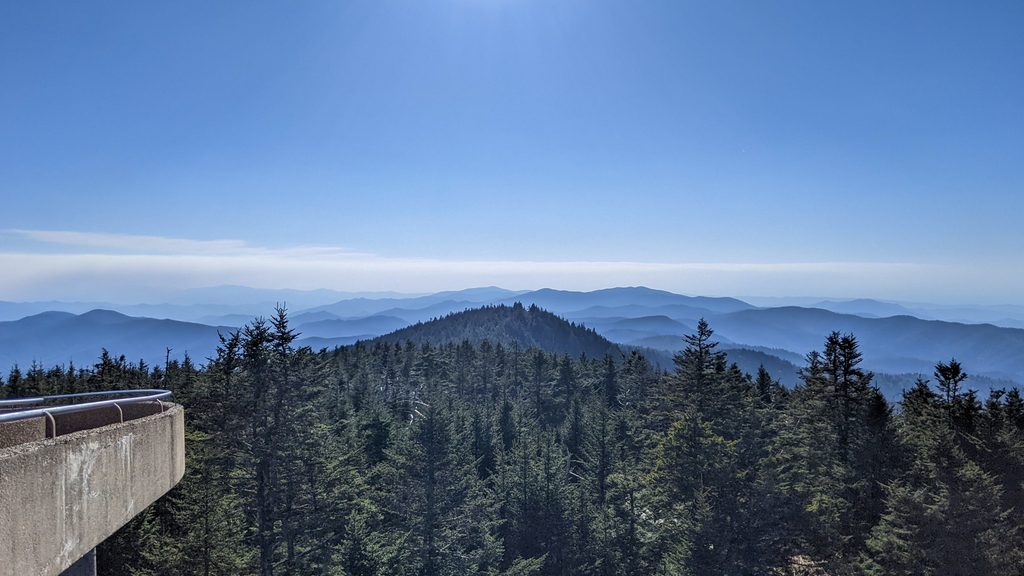
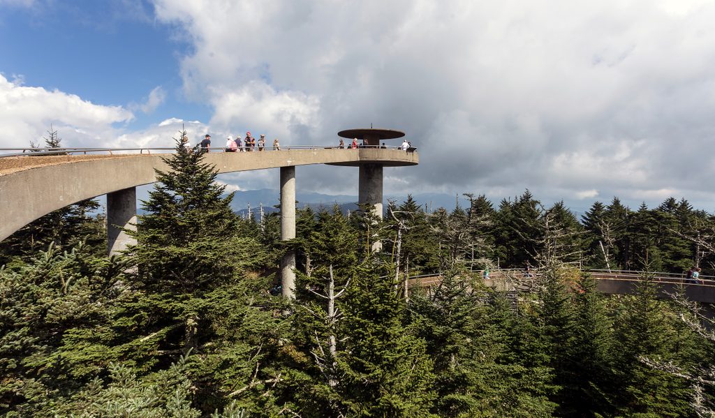
Kuwohi—formerly known as Clingmans Dome—is the high point of the Smokies and Tennessee at 6,643 feet, and the highest point along the Appalachian Trail. A paved but very steep path climbs roughly 0.5 mile each way (about 1.0 mile total) from the parking area to the spiral‑ramped observation tower, where you get full 360° views. Expect a stout 12% grade and about 337 feet of gain in a short distance; there are benches along the way to catch your breath. On hazy days the view can be limited, but on clear days it can stretch to around 100 miles.
You’ll walk through high‑elevation spruce–fir forest that feels more northern than southern. Look for standing dead Fraser firs and young regrowth—the legacy of the non‑native balsam woolly adelgid. Near the top, the Smokies’ bedrock story pokes through: the summit stands on hard, quartz‑rich metasandstone of the Ocoee Supergroup, a tough cap rock that helps Kuwohi rise above softer surrounding layers. At the tower, you’ll find a 360° platform and peak‑ID signage to help make sense of the skyline.
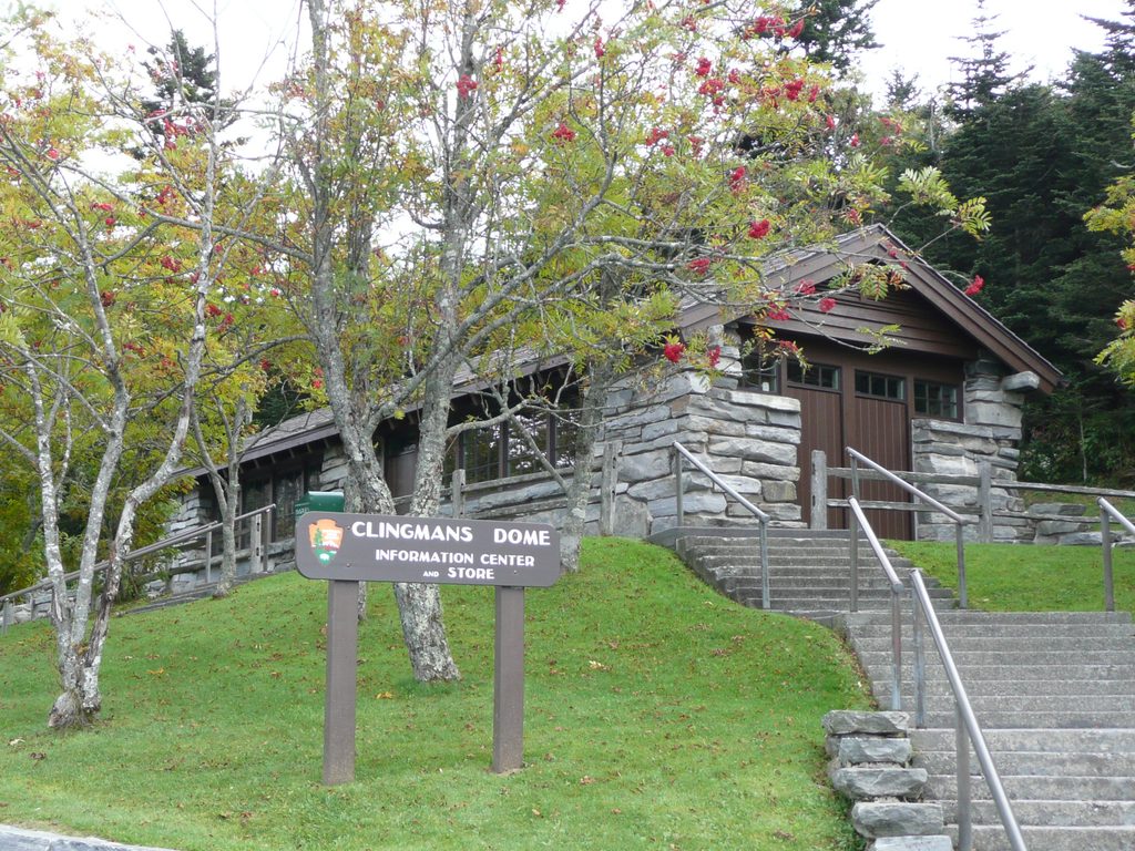
Access is via Kuwohi Road, a spur from Newfound Gap Road. The road typically closes in winter (early December through late March) and during bad weather. Parking is at the end of the access road; a parking tag is required if you’ll be there more than 15 minutes. There’s a small visitor center and restrooms at the parking area. The path is paved but too steep to be wheelchair accessible. Dogs and bicycles aren’t allowed on this trail.
Conditions are cooler and windier up here—often 10–20°F colder than the valleys—so layer up even in summer. Views are highly weather‑dependent; go on a clear day and bring water for the push. Crowds are a given at peak times, so arrive early for parking. If you want a quieter approach, a “bypass” route leaves near the Forney Ridge Trailhead. For a longer nearby hike with fewer crowds, follow Forney Ridge to Andrews Bald, or hop on the Appalachian Trail that crosses Kuwohi. Cultural note: the mountain’s restored Cherokee name, Kuwohi (pronounced “koo‑WHOA‑hee”), reflects its significance to the Cherokee people.
End of Kuwohi Road at the main parking area; parking tag required if parked over 15 minutes. Arrive early. Restrooms and a small visitor center are onsite.
Steep 12% paved grade that can be slick when wet/icy; summit is 10–20°F colder and often windy; winter road closure; views frequently obscured by fog/haze; no dogs or bikes.
Place · 0.1 mi away
Place · 0.5 mi away
Place · 0.5 mi away
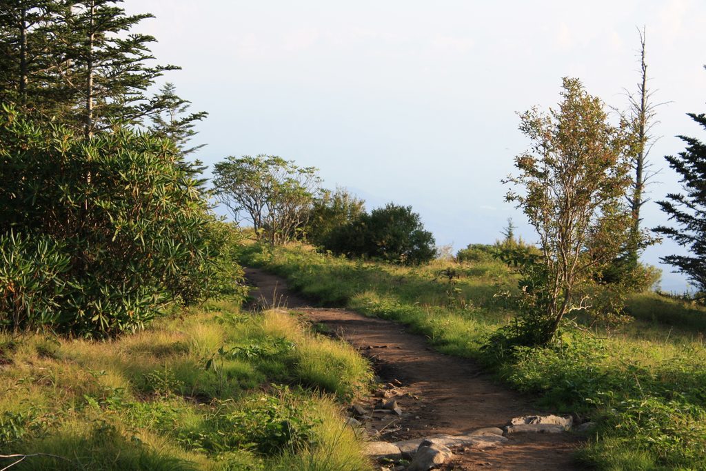
Place · 1 mi away
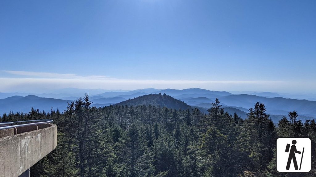
Moderate · 0.1 mi away
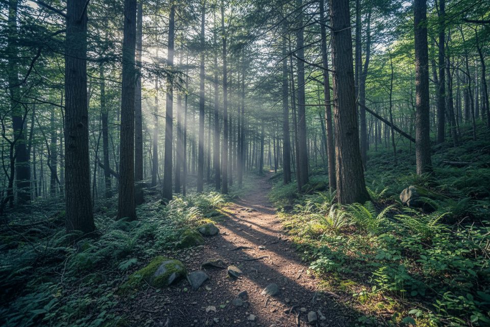
Easy · 0.1 mi away
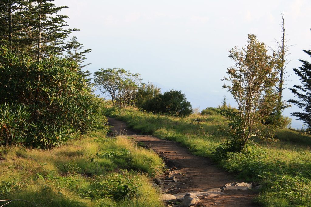
Moderate · 0.1 mi away

Challenging · 0.1 mi away

Parkwolf Tour Guide
