Pros & cons
PROS
- Rarely crowded, good for solitude
- Pairs well with longer loops via Noland Divide and Deep Creek
CONS
- Brushy, occasionally steep and narrow tread
- Creek crossings can be knee‑deep; parking can be tricky by route
Overview
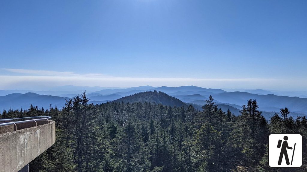
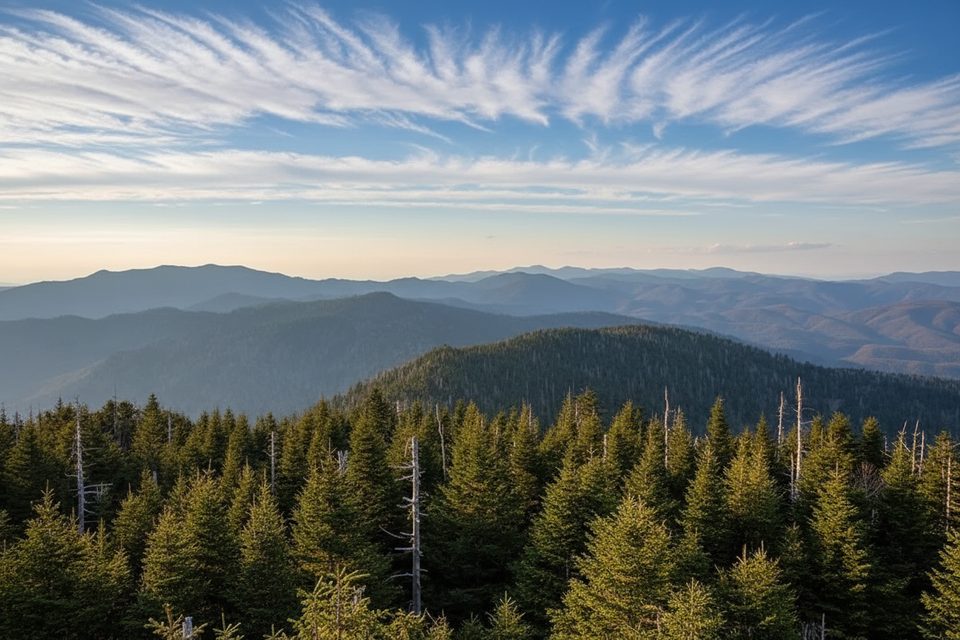
Round Top Knob is a named backcountry point on the North Carolina side, typically visited as part of longer routes that weave together trails like Noland Divide, Deep Creek, and Fork Ridge. Think of it as a quiet waypoint rather than a built overlook—ideal if you enjoy linking rugged loops and leaving the crowds behind.
What to Expect
- Not crowded: You’re unlikely to see many hikers.
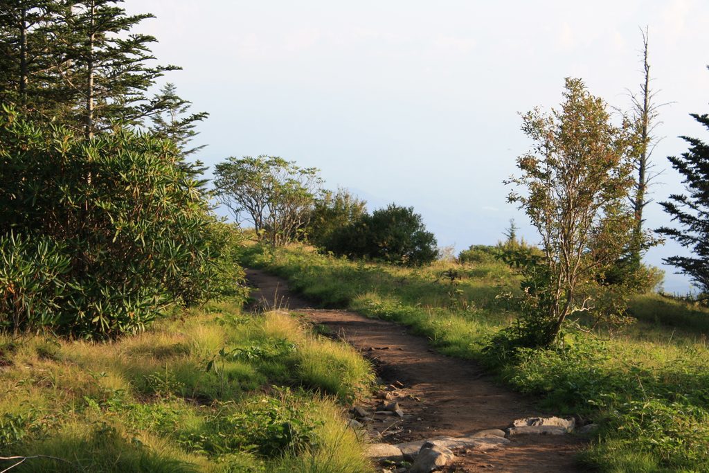
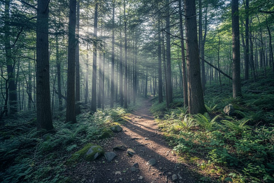
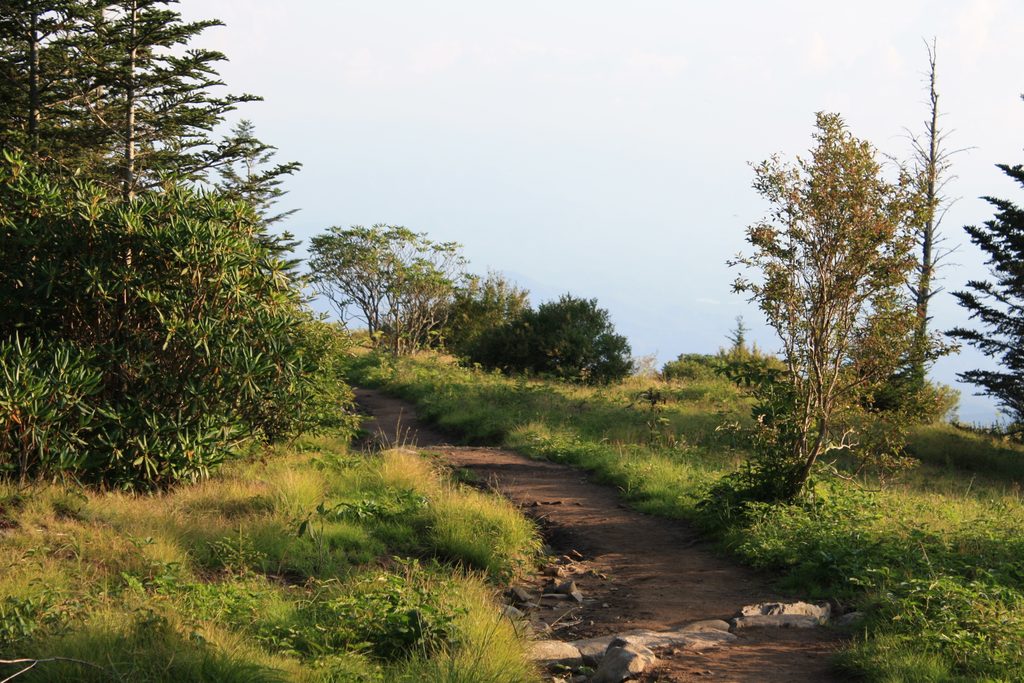
- Trail conditions: Expect stretches of brush, steeper narrow tread in places, and occasional knee‑deep creek walking.
- Logistics: Parking varies by the route you choose and can be finicky; plan your approach and shuttle (if any) ahead of time.
- Facilities: Don’t count on amenities at remote trailheads—hit a visitor center or picnic area before you start and carry your own essentials.
Geology Snapshot
The terrain around Round Top Knob sits within the Smokies’ older Ocoee Supergroup—ancient sand, silt, and gravel deposits that were later squeezed and heated during Appalachian mountain building, hardening into metasandstone/quartzite and slate. That tough bedrock helps shape the ridges and ledges you traverse.
Who It’s For
Hikers who like solitude, don’t mind brush and creek crossings, and prefer a choose‑your‑own‑adventure loop over a signed summit viewpoint.
Wildlife & Vibe
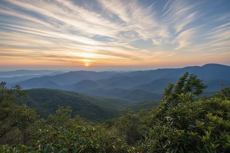
Forested ridges and creek corridors mean you’ll notice seasonal wildflowers, fungi, and the park’s rich biodiversity—more subtle than sweeping vistas, but rewarding if you slow down and look.
Best Time to Visit
Anytime you have stable weather and plenty of daylight. Start early to leave margin for route‑finding and creek crossings. After wet spells, expect higher water in the creeks and slower going. Weekdays are even quieter, but this area is generally lightly traveled.
Planning Notes
- Bring navigation and footwear you’re happy to get wet.
- Check current trail conditions before committing to longer loops.
- If you’re backpacking, secure required backcountry permits and plan camps accordingly.
Where it is
35.5490, -83.4599Tips for Round Top Knob
- 01Carry navigation and creek‑crossing footwear; you will likely get wet.
- 02Start early to leave time for routefinding and multiple crossings.
- 03Check current conditions and weather—water levels and brush can change fast.
- 04Use restrooms at visitor centers or picnic areas before hitting remote trailheads.
- 05Backpacking this loop? Reserve permits and confirm campsite availability.
Near Round Top Knob
All places →All trails →
1.7 mi awaySassafras KnobWooded high point on a tough Noland Divide–Fork Ridge loop
1.9 mi awayAndrews BaldHigh-elevation meadow with big views via a short, rugged hikeScenic Viewpoint · Parking
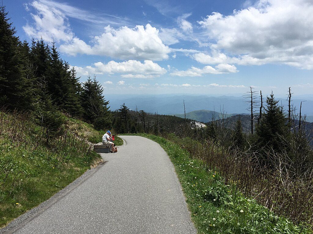
2 mi awayClingmans Dome TrailShort, steep paved climb to 360° views from the Smokies’ rooftopEasy · 1 mi · 48 min
2.1 mi awayKuwohi TrailShort, steep paved climb to the Smokies highest 360-degree viewModerate · 1 mi · 48 min
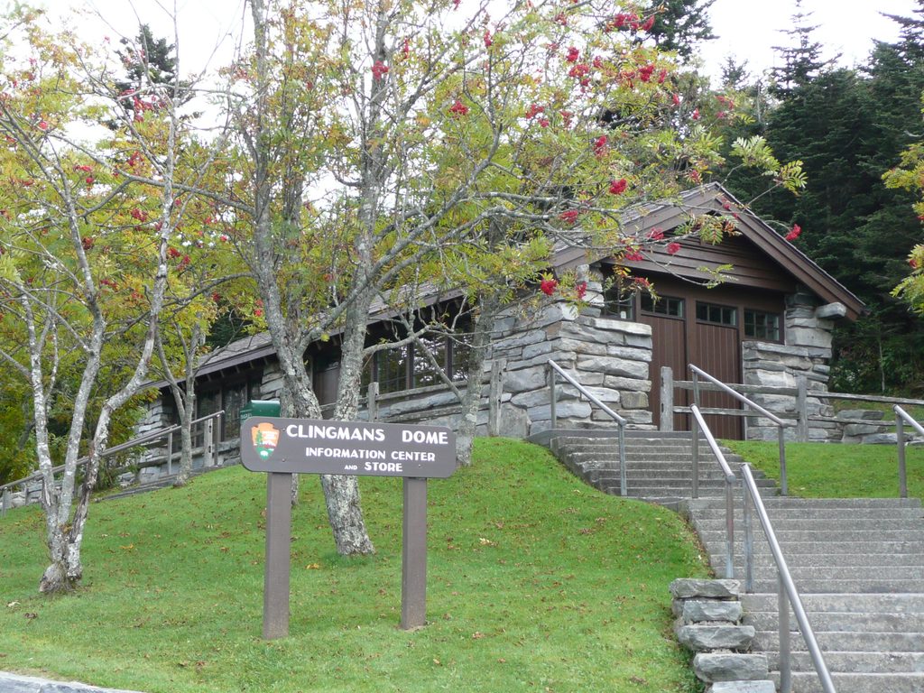
2.1 mi awayClingmans Dome Visitor Contact StationSmall summit shop and info hub on the way to the towerTrailhead · Restroom
2.1 mi awayBalsam Nature TrailMossy spruce–fir stroll with an easy sunset add-onEasy · 1.3 mi · 31 min
2.1 mi awayAndrews Bald TrailModerate hike to the Smokies’ highest grassy bald with big viewsModerate · 3.6 mi · 2 hr
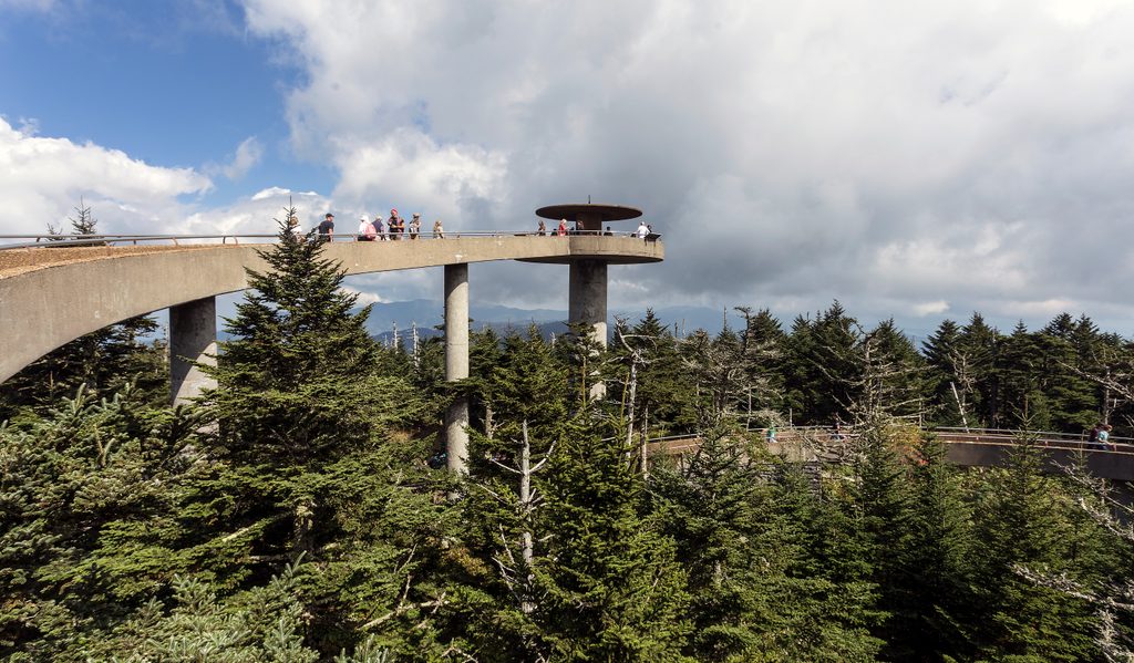
2.4 mi awayClingmans Dome Observation Tower360-degree Smokies views from a futuristic Mission 66 towerParking · Restroom