
Place · 0 mi away
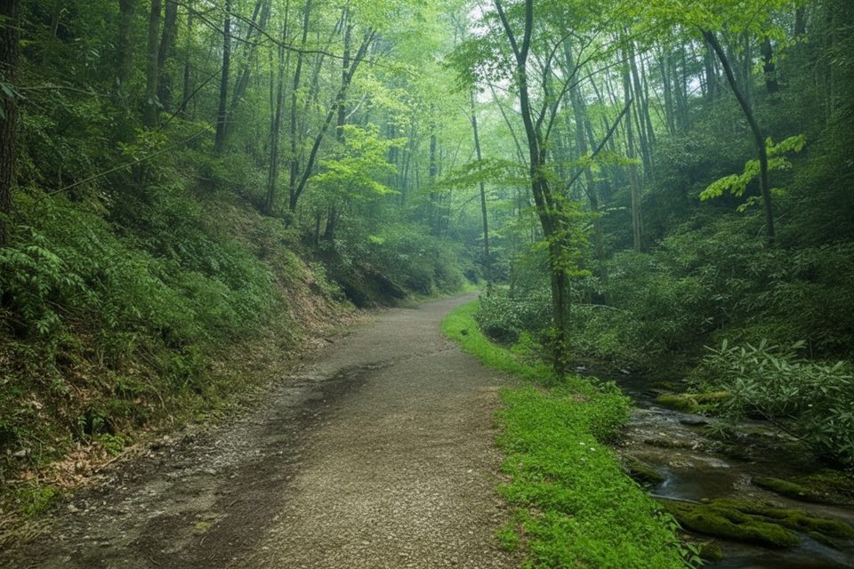
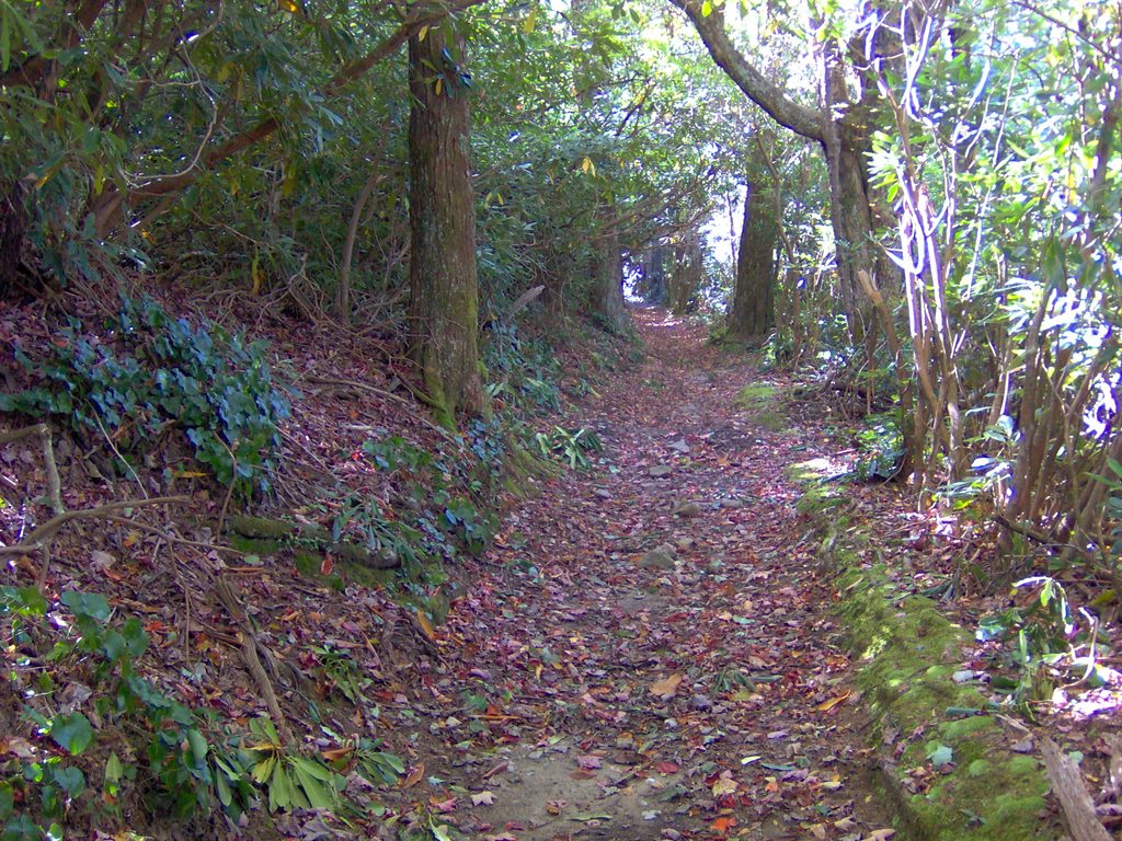
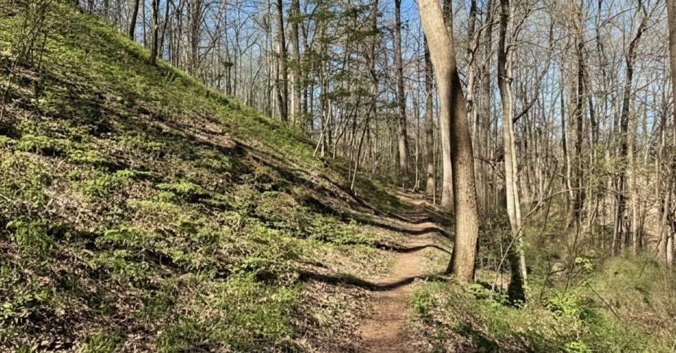
If you want a calm, family‑friendly walk away from the Cades Cove crush, Schoolhouse Gap is a solid pick. It’s roughly 3.8–4.2 miles round trip to the Chestnut Top junction (or a touch farther to the actual “gap”), with about 500–520 feet of total gain on a wide, former road that also sees horseback traffic. Despite the name, there’s no schoolhouse; the trail ends at Chestnut Top, and the named gap lies about 0.2 miles beyond the junction.
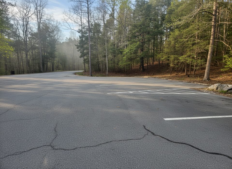
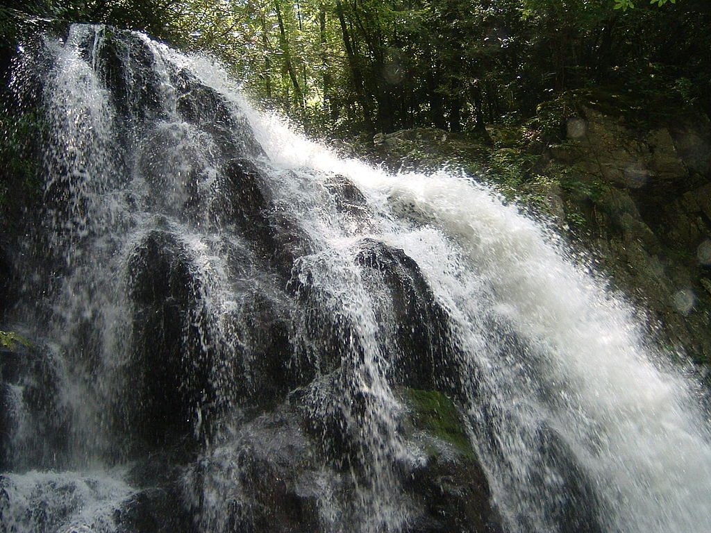
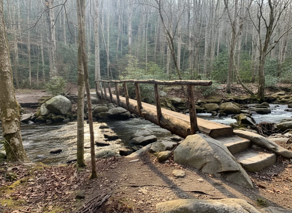
The trail starts off Laurel Creek Road and follows Spence Branch for the first mile—easy grades, creek sounds, and room to hike two‑abreast. Around a mile in, the Turkeypen Ridge Trail splits left; nearby you may notice a large feral‑hog trap, part of the park’s ongoing invasive‑boar control. Just past this junction, an unmarked path left leads to Whiteoak Sink, a meadowy basin with a small waterfall and Blowhole Cave (the cave exhales cool air but is closed to protect bats). Continue straight on the main path to reach the Chestnut Top Trail junction at about 1.9 miles; go another 0.2 miles if you want to tag the actual gap at the park boundary road.
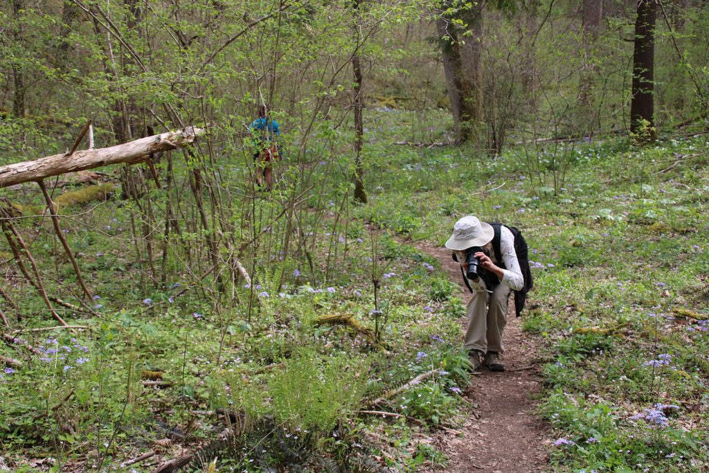
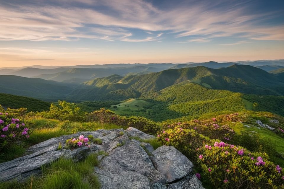
Spring is the headline act here. Expect carpets of Virginia bluebells, beaked violets, and pink lady’s slippers, with rhododendron and mountain laurel starting mid–late spring. Later, from July into fall, look for purple ironweed, southern harebell, blue lobelia, and Joe‑Pye weed. It’s a different palette but still a worthwhile stroll.
This corridor is good for birding—keep an ear out for owls—and the area does see bear activity. Give wildlife space and know basic bear etiquette. In Whiteoak Sink, the cave area is managed for bat protection; respect closures and barriers.
From the far end, you can continue onto Chestnut Top toward the Townsend “Y” for a longer day or plan a shuttle. Alternatively, explore Turkeypen Ridge as a side adventure. If you consider Whiteoak Sink, verify current seasonal protections and be prepared for unmarked, confusing social paths.
Place · 0 mi away
Place · 1.4 mi away
Place · 2.3 mi away
Place · 2.3 mi away
Challenging · 0.1 mi away
Easy · 1.8 mi away
Challenging · 1.8 mi away
Moderate · 2.2 mi away

Parkwolf Tour Guide
