Spruce Flats Falls

Short, rugged hike to a photogenic four-tier waterfall and pool
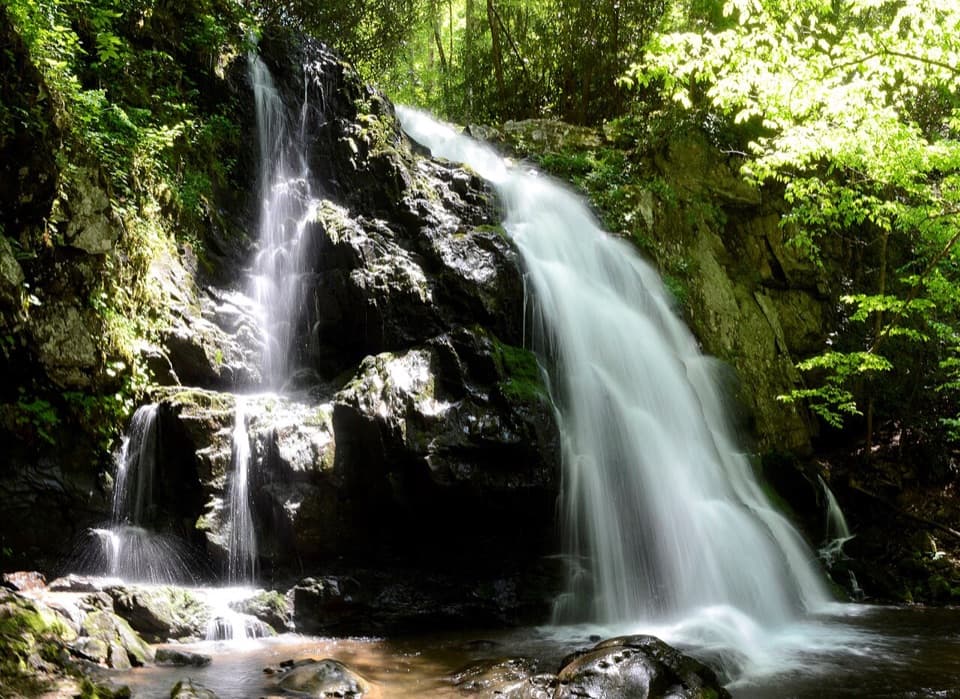
Spruce Flats Falls, Great Smoky Mountains National Park
InsideGreat Smoky Mountains National Park

Overview

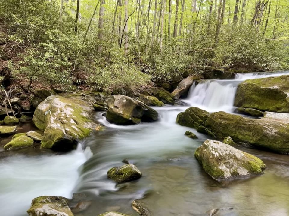
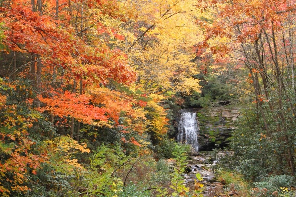
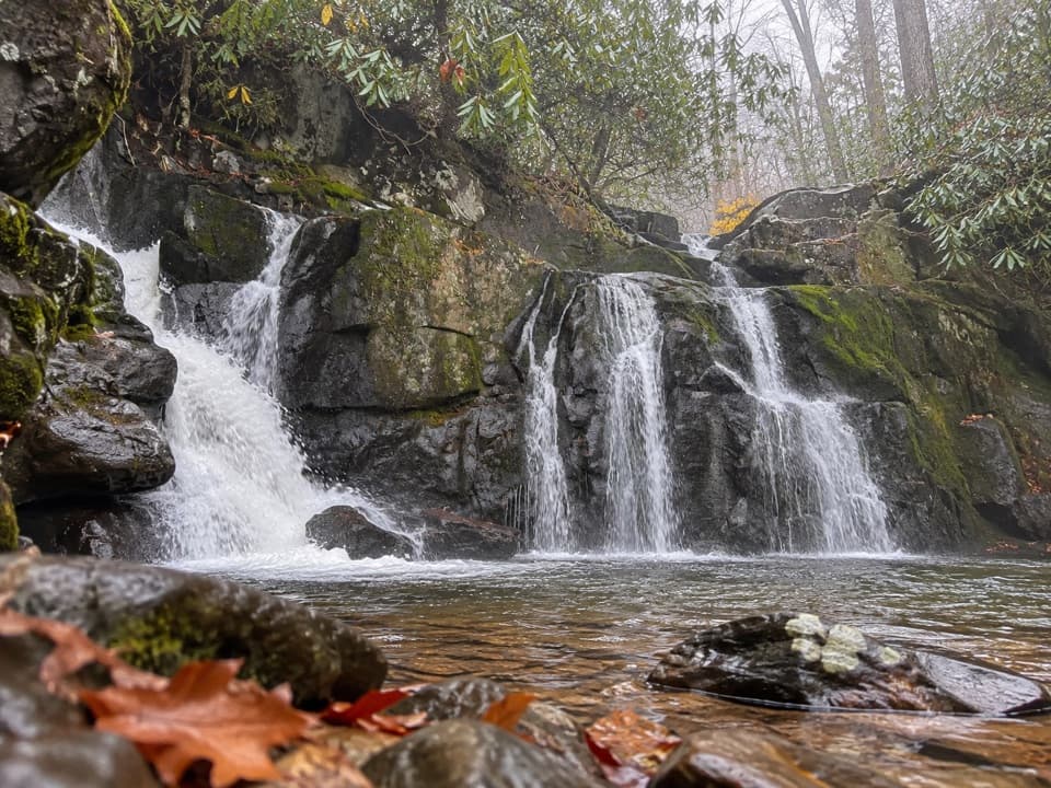
Spruce Flats Falls is a beautiful, multi-tier waterfall tucked just above the Tremont area. It’s not shown on the official park map, but the path is signed and well-worn, delivering a big payoff for a relatively short hike. Compared to the park’s marquee waterfalls, it’s often quieter—yet still popular—so it feels a bit more backcountry without requiring an all‑day effort.

Trail Details

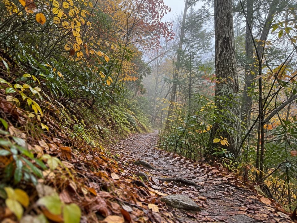
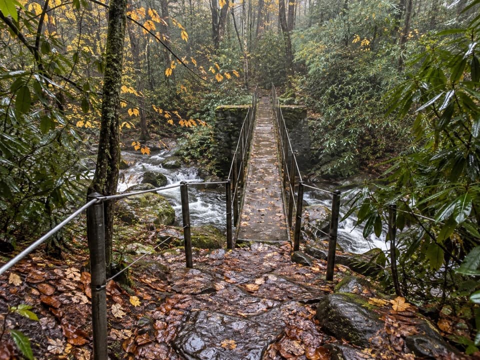
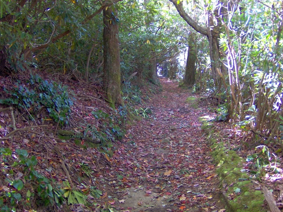
Plan on 1.8–2.0 miles round trip with roughly 400–500 feet of elevation gain, taking most hikers 1.5–2 hours. From the Tremont parking area, walk up the gravel road past the dorms, turn left onto Lumber Ridge Trail, then almost immediately right onto the signed spur to the falls (often called the Buckeye Trail). The trail climbs to a high point around 0.5 miles, then descends steeply and more ruggedly toward the falls. Expect continuous roots and rocks, a short carved‑step section with a railing, and a small stream crossing before the final, steeper approach.

What You’ll See

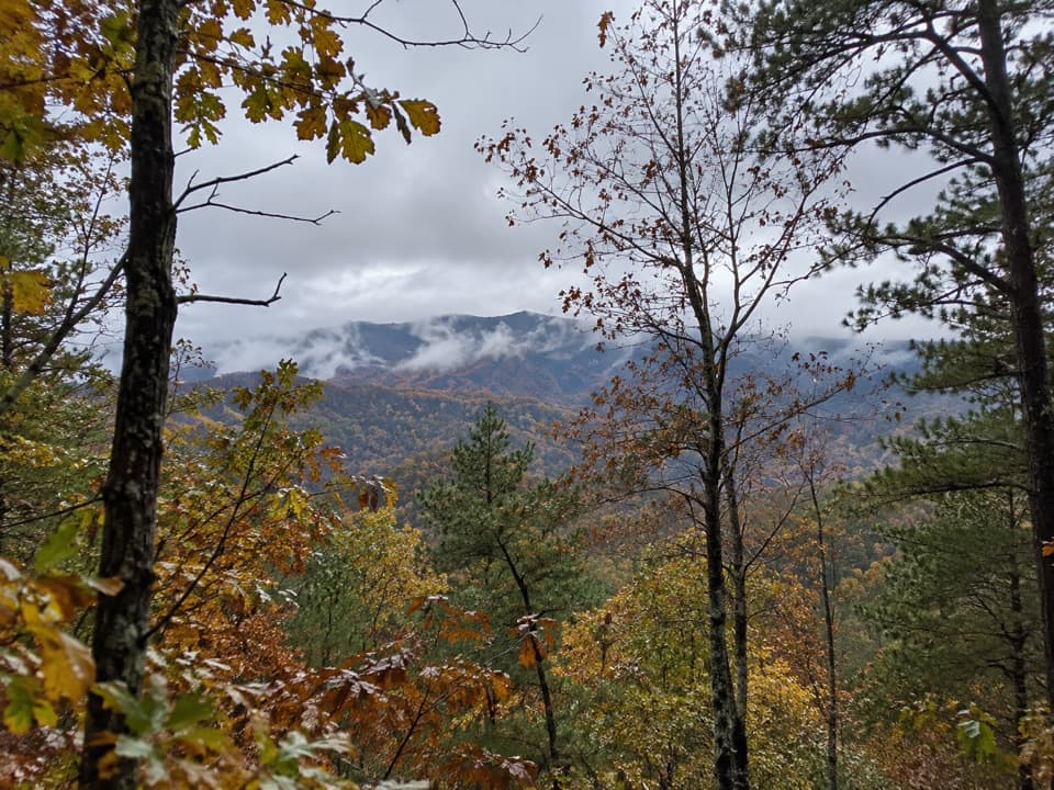
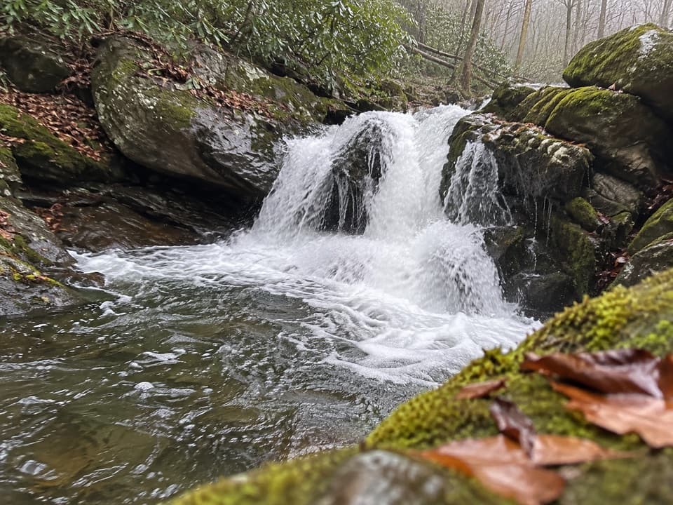
The falls drop in multiple tiers into a clear pool—great for cooling your feet and, when flows are modest, careful wading. Along the climb you’ll catch partial views across Walker Valley to surrounding ridges. Around the pool, fish and salamanders are common, and the area draws butterflies and songbirds on warm days. Rocks near the water are slick; move slowly.

Wildlife Notes

Hikers occasionally encounter black bears and well‑camouflaged copperheads on this trail. Give all wildlife plenty of space, make noise where visibility is low, and keep food secure. Poison ivy grows along lower sections—watch where you step and where you sit.

Safety & Etiquette

Wear grippy hiking shoes or boots; trekking poles help on the rooty, uneven sections, especially after rain. The last 100 yards to the base are the trickiest. Do not attempt to cross the swift Middle Prong to shortcut back to the road. This spur isn’t park‑maintained, so expect rough patches or downed trees after storms. Pack out everything you bring.

Getting There & Amenities

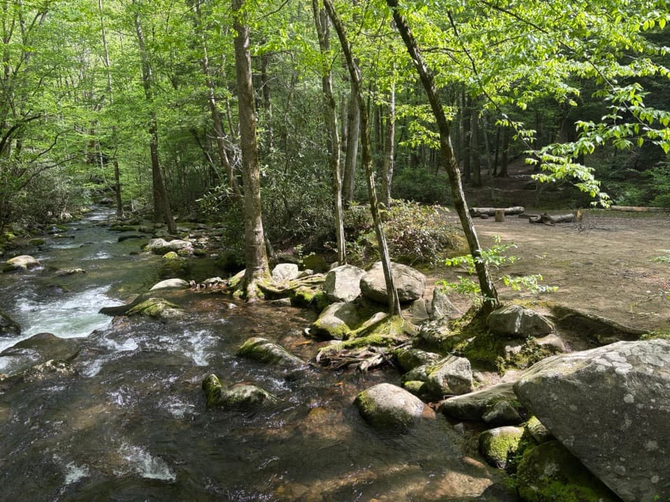
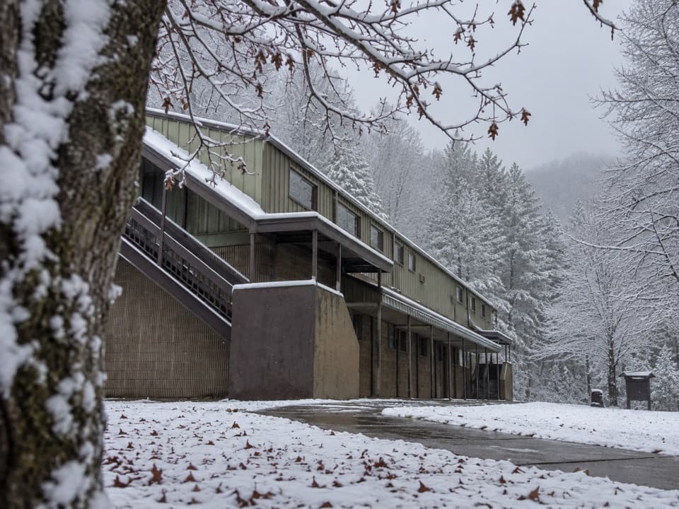
Park at the Great Smoky Mountains Institute at Tremont lot. A parking tag is required; day tags are available on site. Restrooms at Tremont are typically available when the facility is open (hours vary). The lot is small; arrive early on weekends.

Best Time to Visit

For photography, morning light is softest at the falls. Crowds are lightest early in the day and midweek; late morning to midday on weekends sees the biggest surge. After rain, the trail becomes slick—consider waiting for drier conditions if you’re uneasy on steeper, rocky footing.

Pros

  • Photogenic four-tier cascade with a clear pool for wading
  • Short, high-reward hike starting by the Tremont Institute

Cons

  • Rugged, rooty trail with steep drop-offs and a slick final descent
  • Small parking area at Tremont; weekends and late mornings get busy

Tips

  • Buy your parking tag at Tremont before you hit the trail.
  • From the gravel road, turn left onto Lumber Ridge, then quickly right onto the signed spur to the falls.
  • Wear real hiking footwear and consider trekking poles for the steep, rooty sections.
  • Rocks by the pool are slick; don’t scramble wet slabs or try to shortcut across the river.
  • Download an offline map and watch for poison ivy near lower trail sections.
The Parkwolf tour guide sitting on a phone mounted in a car

Parkwolf Tour Guide

Like a tour guide in your car.

Save the places you found around Great Smoky Mountains, then let Parkwolf guide the drive between them.Download Parkwolf on the App Store