Place · 0.1 mi away
Moderate

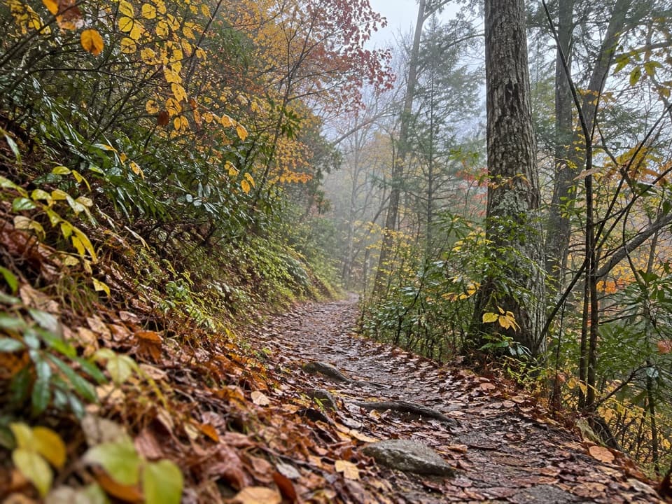
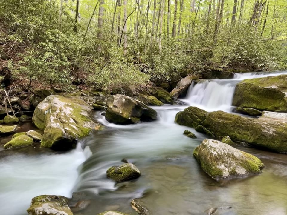
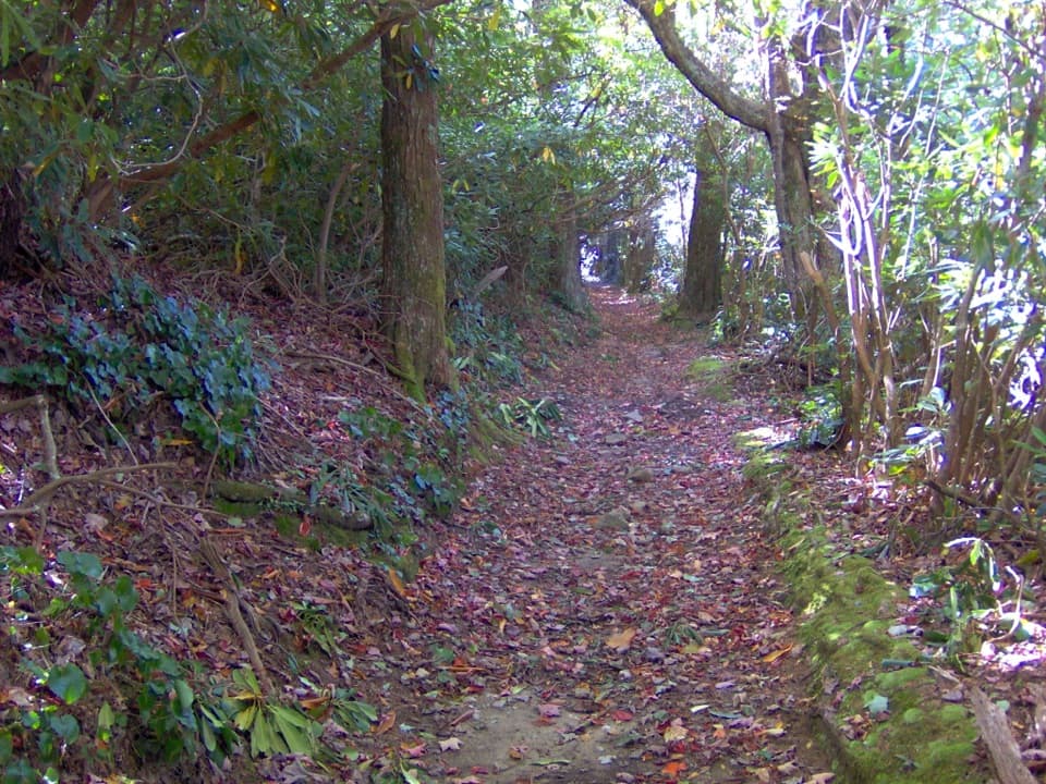
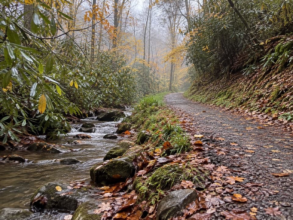
This is a woods-and-water kind of hike—no big overlooks, just a steady climb, hushed forest, and the rush of the West Prong of the Little River for company. It’s 5.4 miles total out-and-back (2.7 miles one way) with roughly 1,300–1,375 feet of cumulative gain. Rated moderate, it’s a solid workout without being punishing, and it stays pleasantly uncrowded compared to the park’s headline trails.
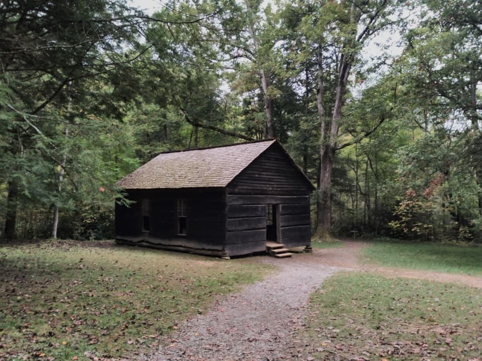
From the Tremont area trailhead, you’ll immediately start a steady ascent along the north slopes of Fodderstack Mountain. About 0.3 miles in, a right spur drops to an old family cemetery still in use—worth the quick detour if you like a side of history with your hiking. Stay left to remain on the main trail.
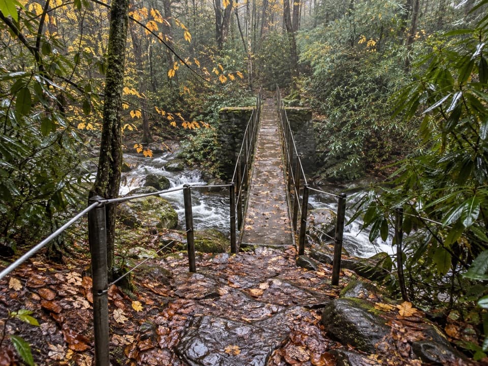
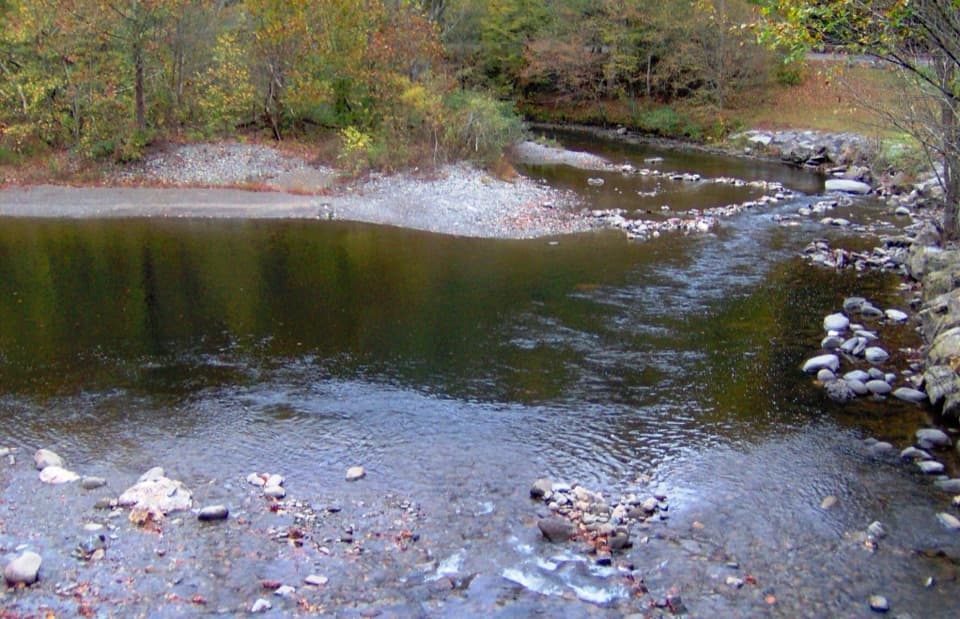
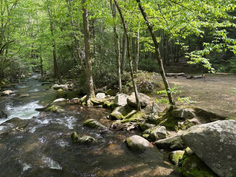
After roughly the first 1.3–1.4 miles (about 625 feet of the climb), the grade eases and you begin descending toward the West Prong; you’ll hear the water before you see it. Around 2 miles in, there’s an unbridged creek crossing—usually a rock hop, but expect wet feet after rains. Just beyond is Backcountry Campsite 18, a popular, scenic riverside spot for lunch or an easy overnight. To continue, cross the footbridge in the middle of camp and bear right almost immediately; look for the bear caution sign as a landmark. The trail climbs again to end at its junction with the Bote Mountain Trail at 2.7 miles. Turn around here for the standard out-and-back, or extend your day via Bote Mountain (right to Laurel Creek Road in 1.2 miles; left all the way to the Appalachian Trail at Spence Field in 5.7 miles—strenuous).
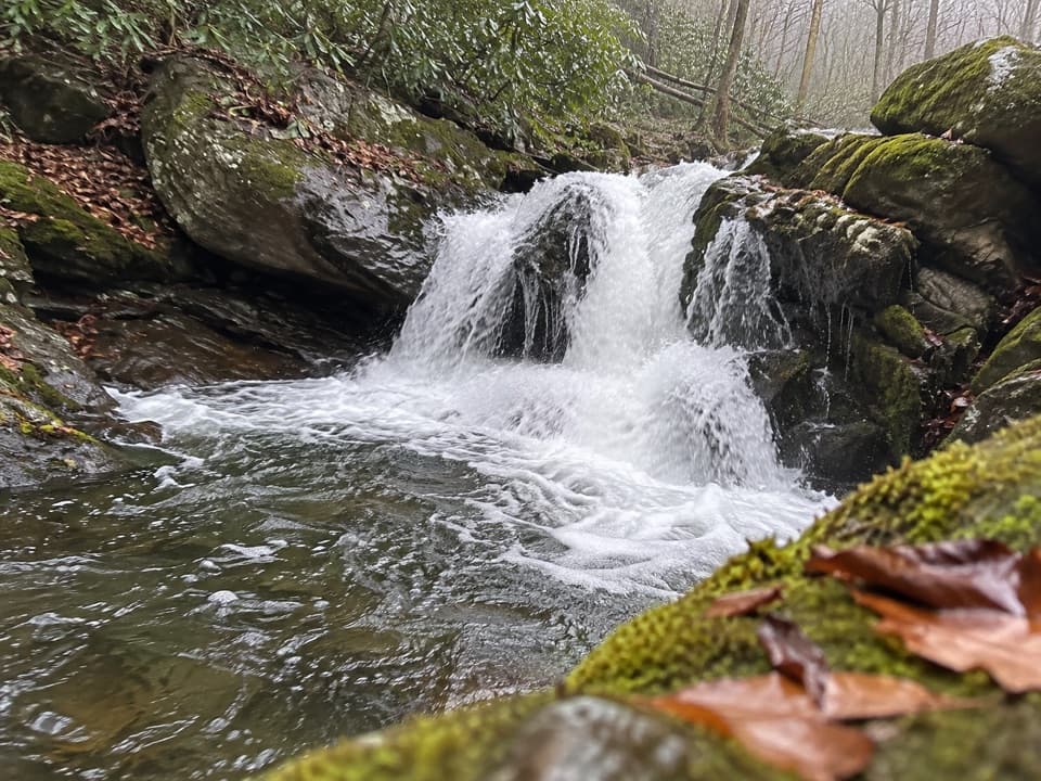
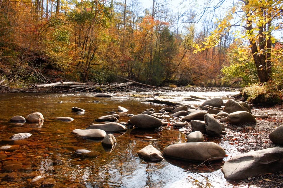
Expect rhododendron tunnels in season, spring wildflowers, and plenty of birdlife. The river soundtrack builds as you drop toward camp, and anglers favor this reach for rainbow trout. Wildlife sightings can include deer, black bears, and even wild hogs—give all animals space and secure food at camp.
The tread is generally good but can be muddy—especially near the start and after rain. One unbridged crossing is the main obstacle; trekking poles help. Navigation can briefly get tricky in Campsite 18; after the footbridge, the main trail is a subtle right. Parking is a small lot that fills; overflow may be available at the nearby institute. A parking tag is required if you’re parked more than 15 minutes. No dogs are allowed on this backcountry trail.

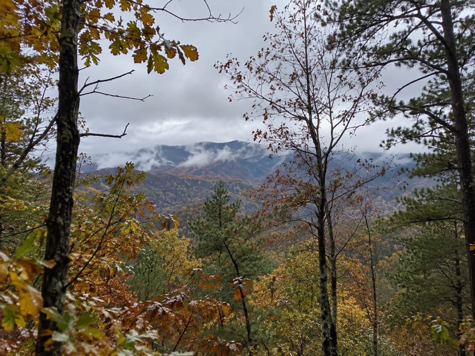
Spring delivers the most color (wildflowers and rhododendron). Late fall (leaf-off) brings quieter trails and better through-the-trees views. Start early for solitude and cooler temps. Summer can be buggy—bring repellent. Always check current park alerts for road or trail closures and seasonal wildlife activity.
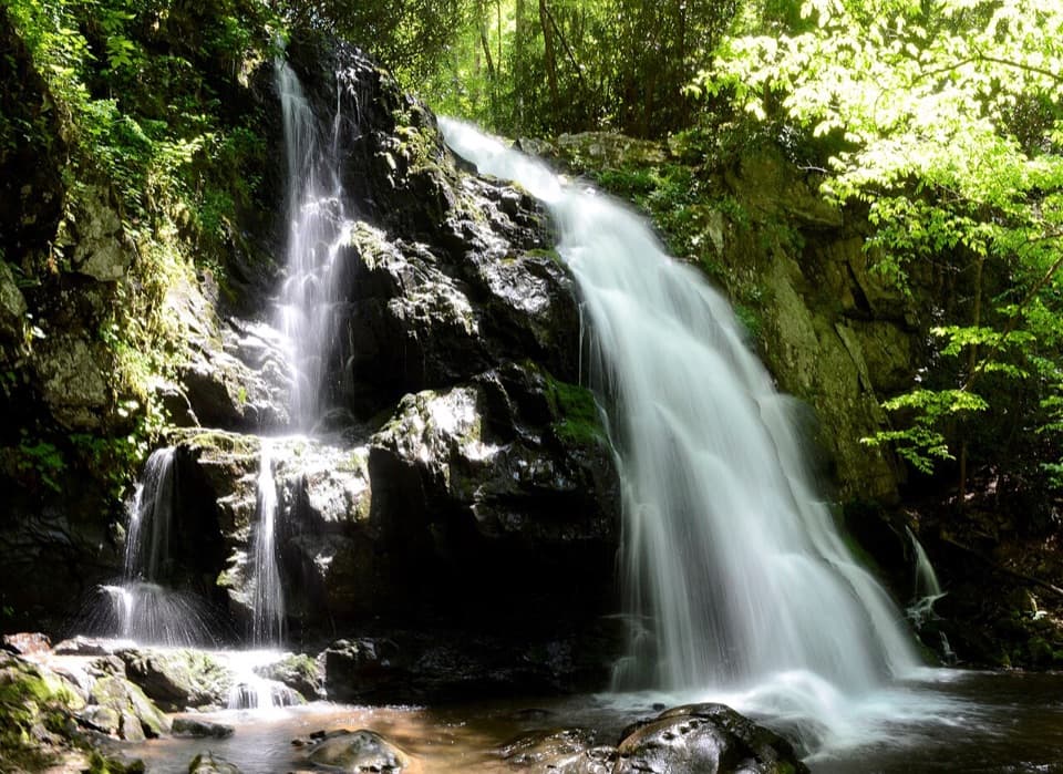
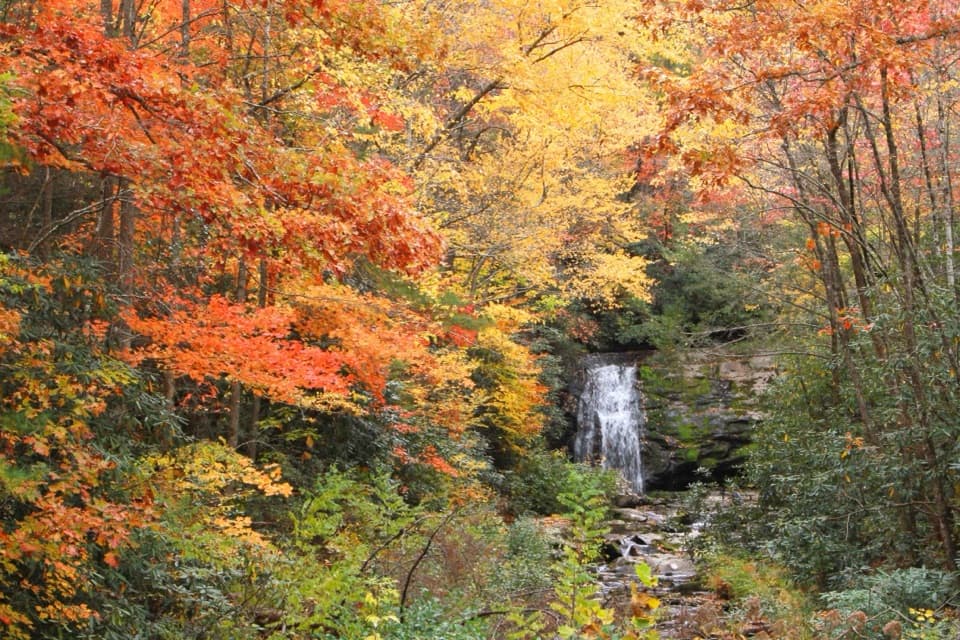
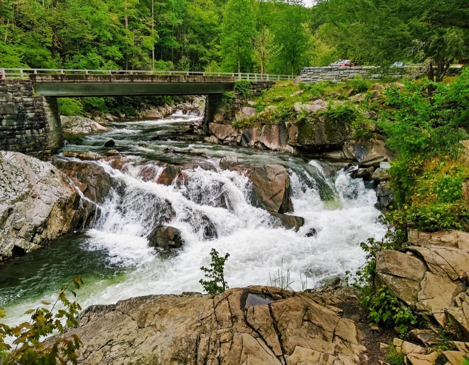
If waterfalls are the goal, nearby Middle Prong Trail or the short-but-sweet Spruce Flats Falls hike offer more splash for your effort. Pick West Prong when you want a quieter forest ramble with an easy-access backcountry campsite and the option to build a bigger day via Bote Mountain.
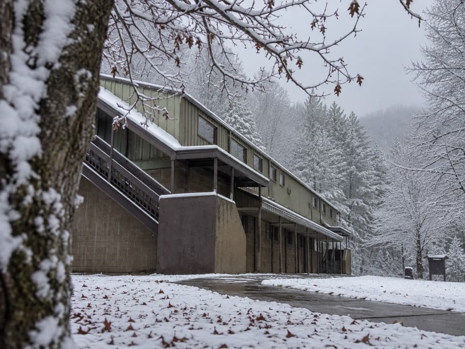
Small lot on the right just before the Great Smoky Mountains Institute at Tremont after ~2 miles on Tremont Road from the Townsend Y; limited spaces, with possible overflow at the institute.
Unbridged creek crossing near 2 miles; route can be unclear in Campsite 18—after the footbridge, bear right. Active bear and occasional wild hog activity; store food properly and give wildlife space.