
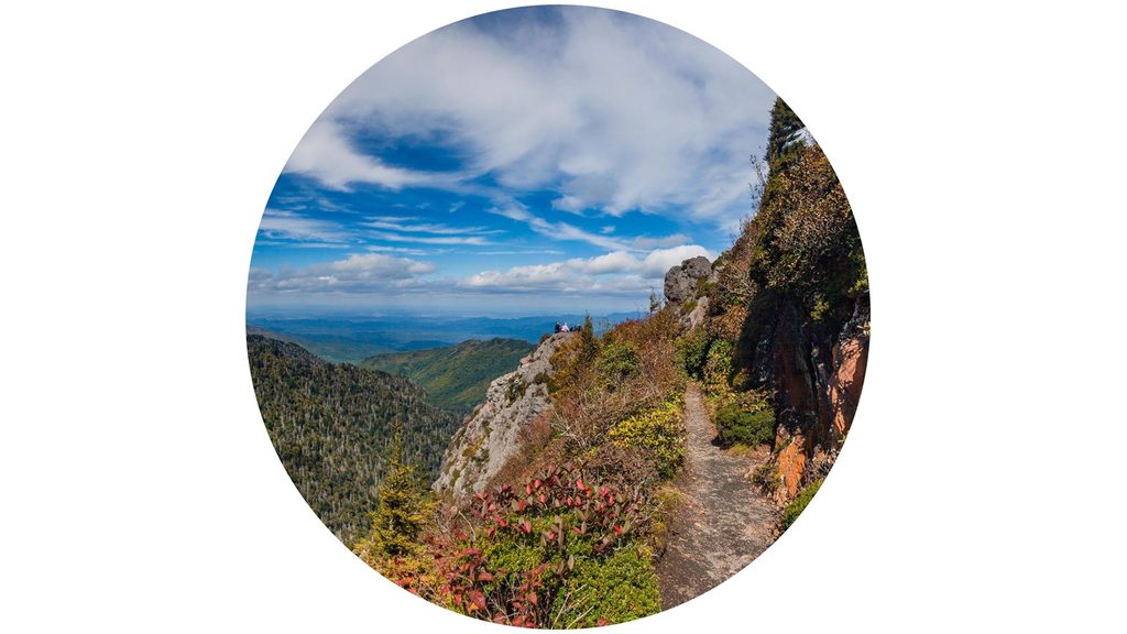
Place · 1 mi away
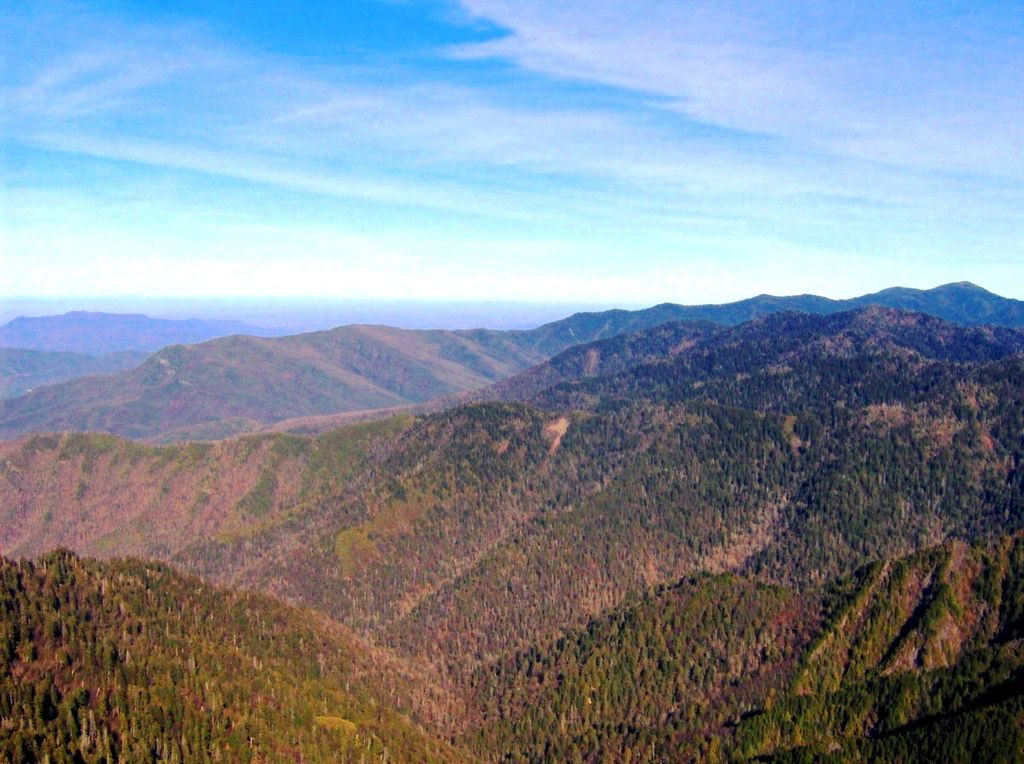
The Jump Off is a cliff-edge overlook reached from Newfound Gap via the Appalachian Trail. It’s the quieter cousin to Charlies Bunion, serving up a big Smokies panorama without the same crowd pressure. Expect a sustained climb and a short, unofficial spur to reach the brink.
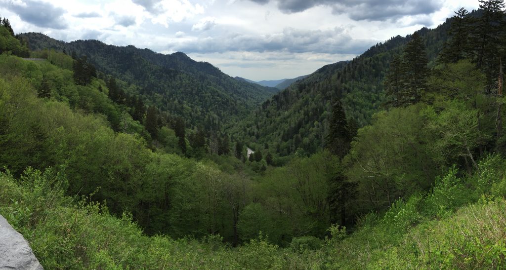
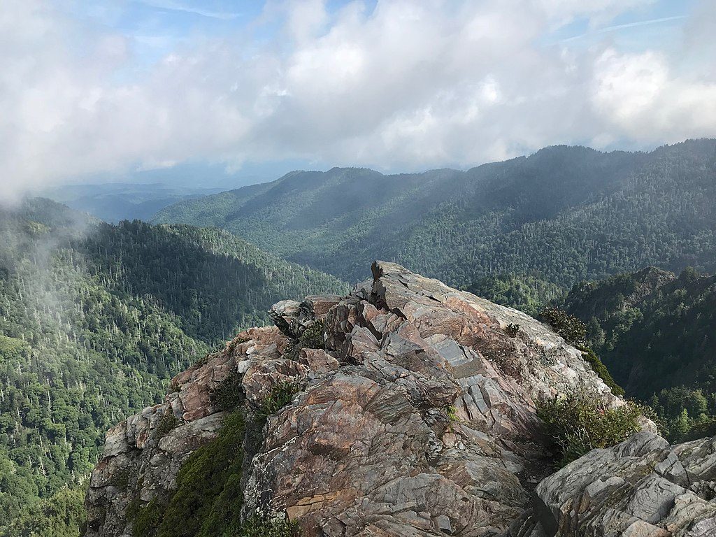
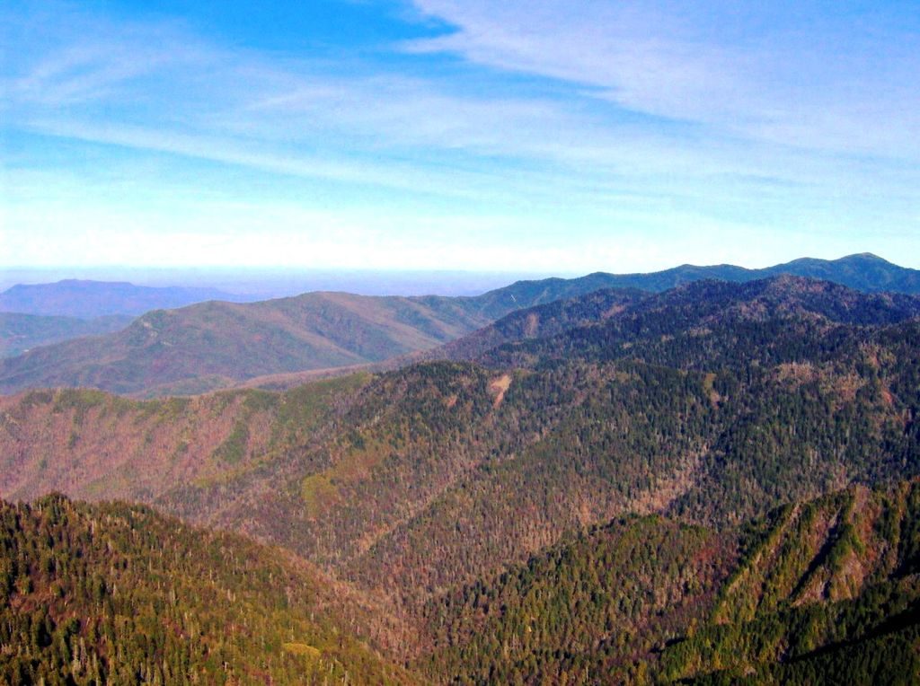
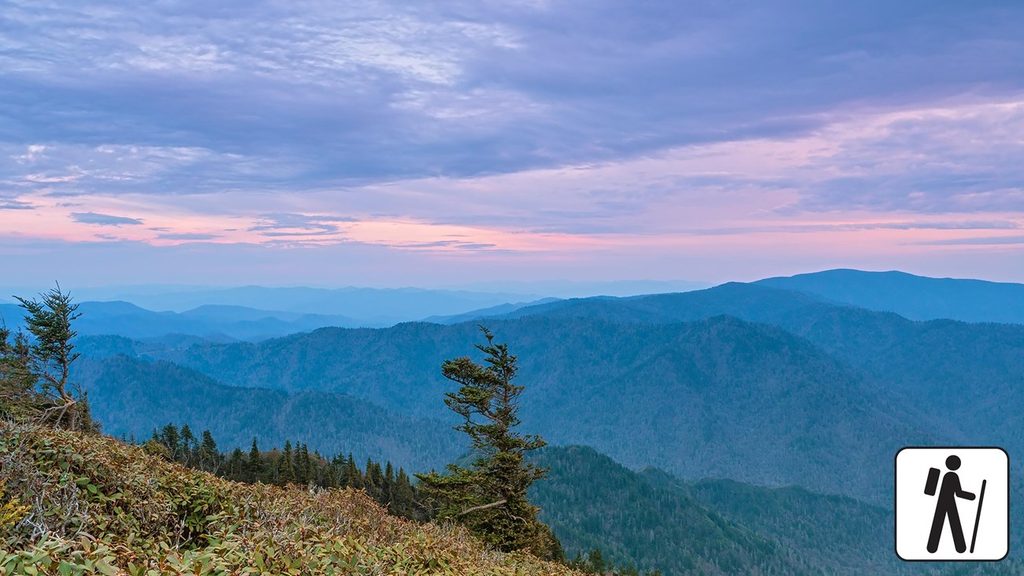
Much of the walk rides a high, narrow ridge near 6,000 feet—the classic “spine of the Appalachians” feel—with views opening on both sides when the weather clears. From the Jump Off itself, you’re looking out over Charlies Bunion, Mount Guyot, and the AT ridge, with a grand sense of space and relief. Spring and early summer bring wildflowers like trout lilies, violets, and spring beauty along the corridor.
The overlook has steep, exposed drop-offs and zero railings—mind your footing, keep kids close, and avoid edges in wind, ice, or wet conditions. Weather flips fast at elevation, so layer up and pack rain protection. The spur to the Jump Off is signed but not officially maintained; expect rocks, roots, and a bit of a scramble in places.
Restrooms are available at Newfound Gap, but there are no facilities on the trail. Newfound Gap parking fills quickly on busy days, and a parking tag is required if you’ll be parked more than 15 minutes. Cell service is unreliable—download maps before you go.
If you have gas left in the tank, many hikers add Charlies Bunion for a different, equally dramatic perspective. From the Boulevard/AT junction, head east on the AT, pass Icewater Spring Shelter, and take the short spur—then return the way you came.
Black bears live throughout the park—observe from a distance and never feed wildlife. High-elevation salamanders thrive in the cool, damp forest, and ridge birds are active along the route. Tread lightly and stay on trail.
Start early to secure parking and enjoy cooler temps. Clear mornings can deliver the best long-range views, and sunrise is stellar for those comfortable hiking in the dark with proper lights. Spring and early summer shine for wildflowers; winter can bring ice—pack traction if conditions warrant.
Place · 1 mi away
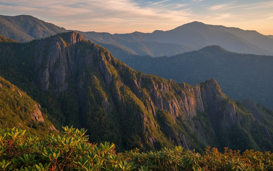
Place · 1.6 mi away
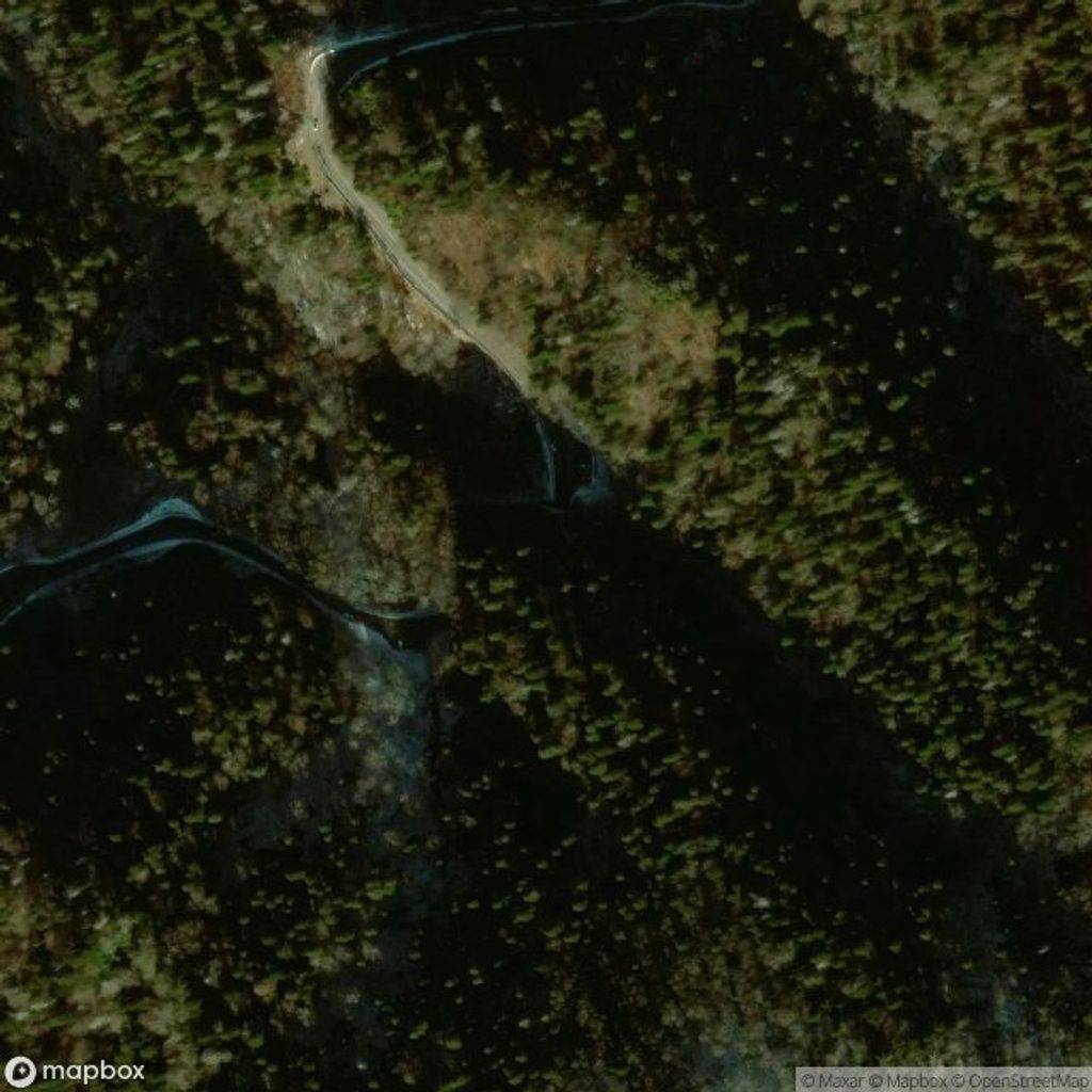
Place · 2 mi away
Place · 2.2 mi away
Moderate · 2.5 mi away
Moderate · 2.5 mi away
Challenging · 2.5 mi away
Challenging · 2.5 mi away

Parkwolf Tour Guide
