
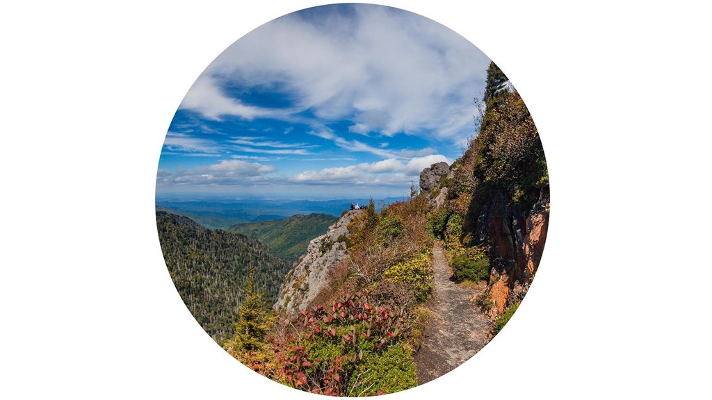
Place · 0.6 mi away
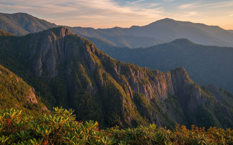
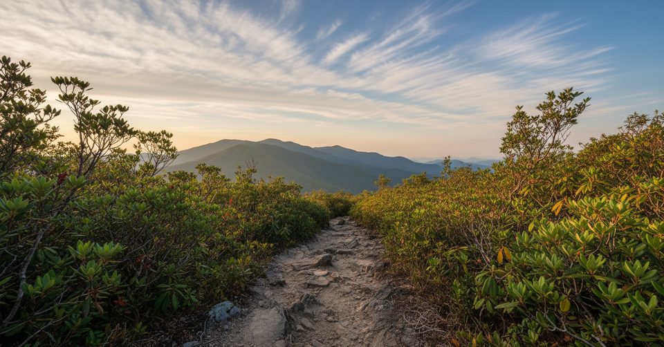
The Sawteeth is a serrated stretch of Appalachian Trail ridgeline near the Charlie’s Bunion area. Expect airy, knife‑edged walking with big Smokies views and a healthy dose of history tucked just off the crest. The ridge spends much of the day above 5,200 feet, topping out around 5,700 feet in this segment, with the named high point of “The Sawteeth” at 5,453 feet.
Most hikers start at Newfound Gap and follow the Appalachian Trail northeast toward Charlie’s Bunion, continuing past Dry Sluice Gap and Porters Gap to False Gap before turning around. Plan roughly 12 miles round trip to False Gap, typically 6–8 hours depending on pace and stops. The narrow sections through The Sawteeth can feel thrilling but aren’t technical—just take your time where the tread pinches.
Just off False Gap, an unofficial path drops to the ruins of the CCC‑era False Gap Shelter. You’ll find substantial stonework (including a fireplace) and signs of its bygone life; treat it as a historic site rather than a place to camp. Behind the ruins is a strong, reliable spring—hugely useful on this dry ridgeline.
The name says it all: sharp, toothy ridges and rocky footing in places. You’ll get sweeping looks toward The Boulevard and Mount LeConte, plus deep views over the Porters Creek drainage. Ferns are abundant, shade is decent along the crest, and the area around False Gap is known for spring wildflowers; historically, Gray’s lily has been noted in the broader vicinity.
Underfoot can be rocky leaving Newfound Gap, and the Sawteeth section narrows with brush and light exposure in spots. It’s not a place to be in high wind, ice, or heavy rain—save it for clear, calm weather. Recent hiker notes mention blowdowns beyond Charlie’s Bunion toward Davenport Gap that can slow progress. If you continue far past The Sawteeth, be aware that shelter conditions vary; one report noted roof leaks at Cosby Knob Shelter during a storm.
Carry ample water for the ridge and treat all sources. The reliable spring behind the False Gap Shelter ruins is the go‑to refill. Parking at Newfound Gap is large but popular, and a paid parking tag is required by the park.
If you don’t want to retrace your steps, shuttle options descend from Dry Sluice Gap toward Smokemont (via Cabin Flats → Bradley Fork) or back to US‑441 via Grassy Branch → Sweat Heifer → Kephart Prong. These make for rewarding point‑to‑point days while keeping the Sawteeth traverse on the itinerary.
Pick clear, calm days for the ridgeline. Spring adds wildflowers around False Gap, summer brings lush ferns and shade, and shoulder seasons offer crisp long‑range views. Start early from Newfound Gap to secure parking and to give yourself the full day’s buffer.
Place · 0.6 mi away
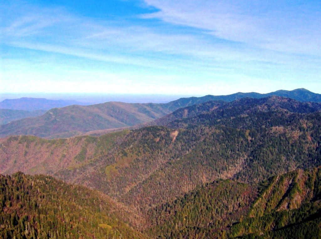
Place · 1.6 mi away
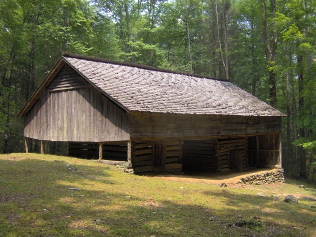
Place · 3.6 mi away
Place · 3.7 mi away
Challenging · 3.8 mi away
Moderate · 4 mi away
Challenging · 4 mi away
Moderate · 4 mi away

Parkwolf Tour Guide
