Charlies Bunion

Iconic AT outcrop with sweeping Smokies views
Charlies Bunion, Great Smoky Mountains National Park
InsideGreat Smoky Mountains National Park

Overview

Charlies Bunion is a craggy rock outcrop perched along the Appalachian Trail that serves up sweeping, long-range views. It’s one of the park’s marquee day hikes: about 8 miles roundtrip with roughly 1,600–1,900 feet of cumulative gain. Expect sustained climbs, rugged footing, and a big reward at the end if the weather cooperates.

The Route

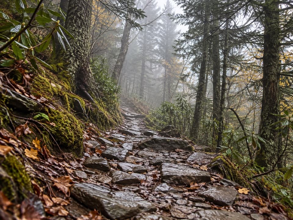
Start at Newfound Gap and follow the Appalachian Trail eastbound (the route isn’t labeled “Charlies Bunion” at first). You’ll climb steadily over the first two miles, passing early vistas and then junctions for Sweat Heifer Creek and the Boulevard Trail. Around 3 miles in, you pass Icewater Spring Shelter; the signed spur to Charlies Bunion comes near mile 4. The outcrop itself has sheer drop-offs—move carefully and be patient with photo spots.

What You’ll See

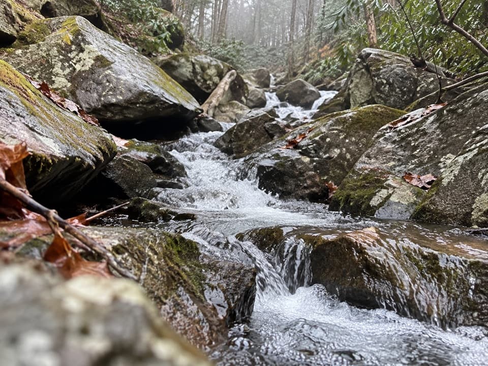
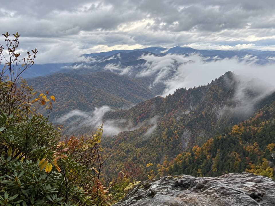
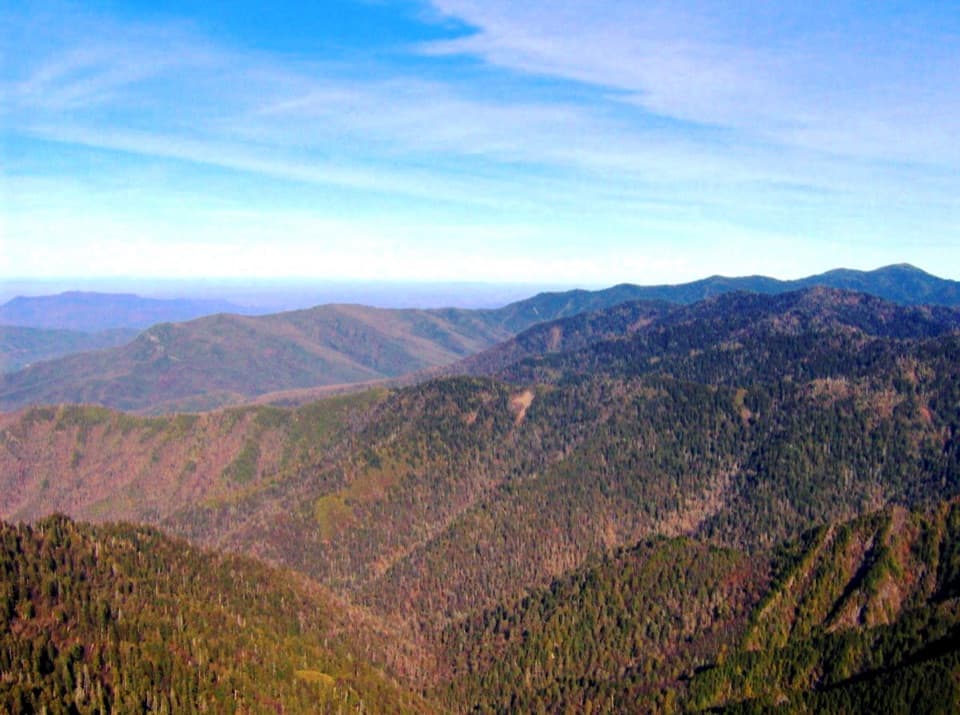
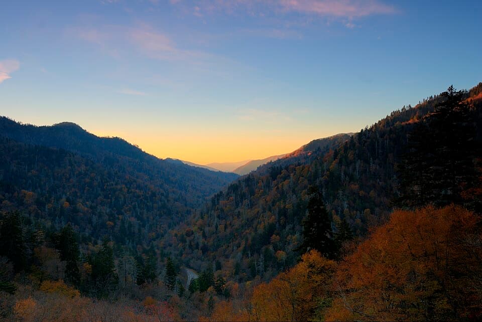
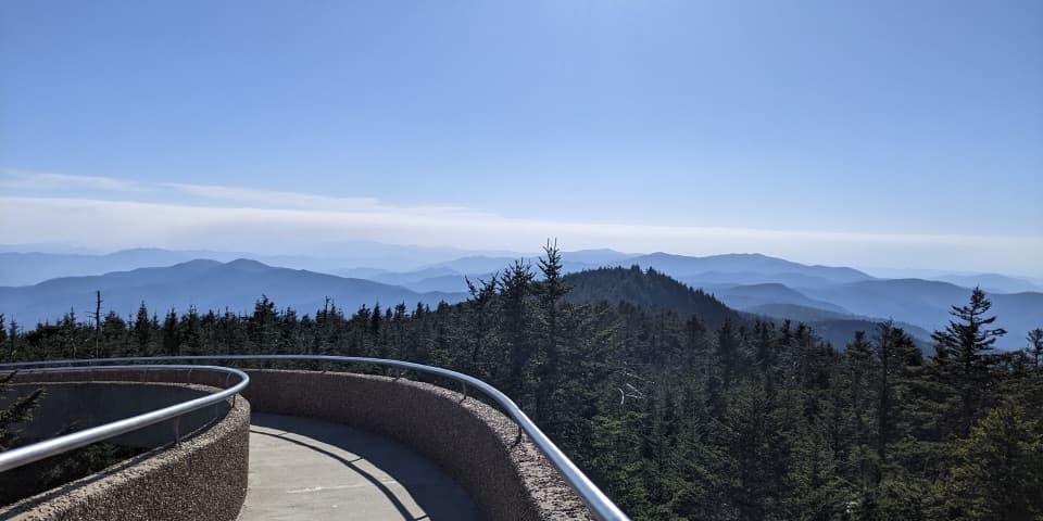
Much of the walk hovers near 6,000 feet through spruce–fir forest, with periodic windows over both Tennessee and North Carolina. From the Bunion, you can spot Mount Kephart and The Jump Off to the west and Mount Guyot to the east. In spring and early summer, the high country puts on a wildflower show. For an extra view, detour to The Jump Off near the Boulevard Trail junction (adds about a mile roundtrip) for a dramatic cliff-edge panorama.

History & Geology

This rugged knob was laid bare after a 1920s wildfire and subsequent erosion/landsliding. The crag is part of the slate‑rich Anakeesta Formation—one reason the Smokies’ crest here looks so jagged. The name comes from a famed anecdote: author and park advocate Horace Kephart reportedly quipped that the rocks resembled his hiking partner Charlie Conner’s bunion, and pushed to get it on the map.

Wildlife

Black bears are active along this corridor. Make noise, give bears plenty of space, secure food, and follow all posted guidance. You may also encounter high‑elevation birds in the spruce–fir zone.

Logistics & Amenities

  • Trailhead: Newfound Gap (large, busy paved lot). A park parking tag is required if you leave your vehicle.
  • Restrooms: Available at Newfound Gap near the trail crossing. None along the trail or at the viewpoint.
  • Water: Icewater Spring near the shelter can be used only if treated/filtered.
  • Pets: Dogs are not allowed on park trails here.

Safety & Conditions

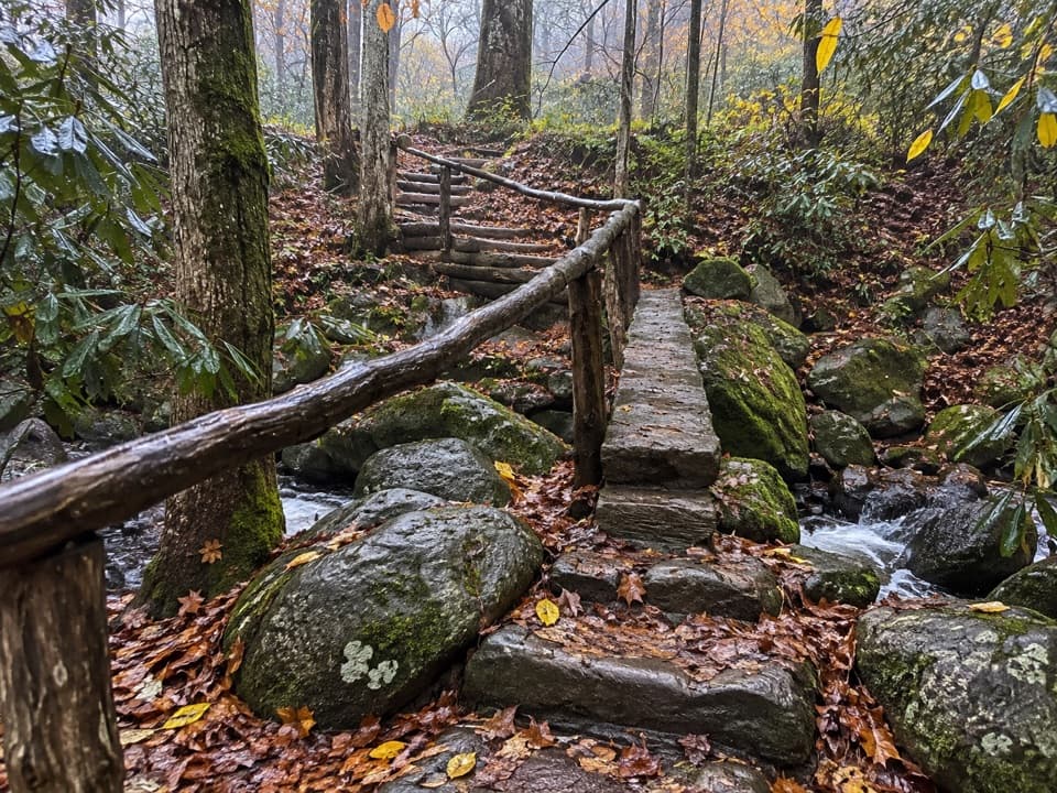
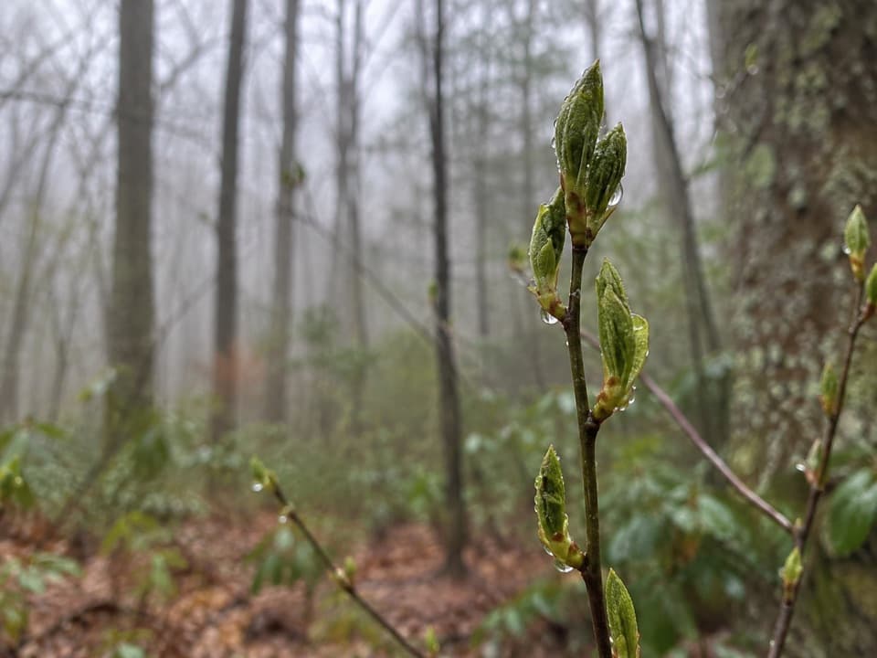
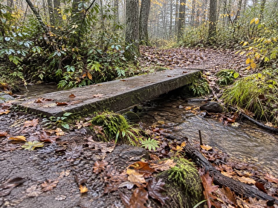
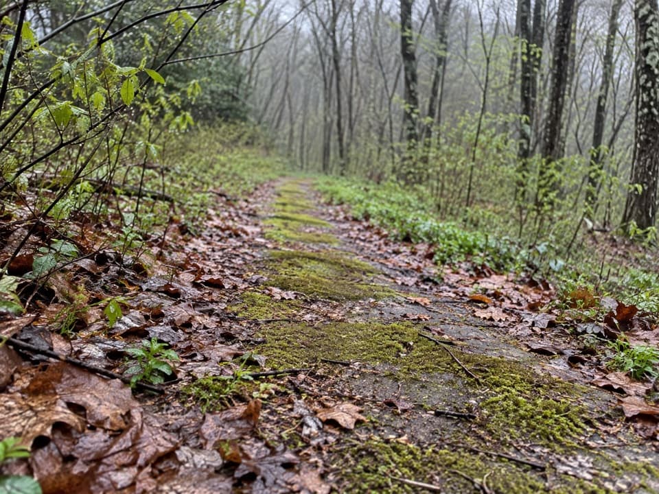
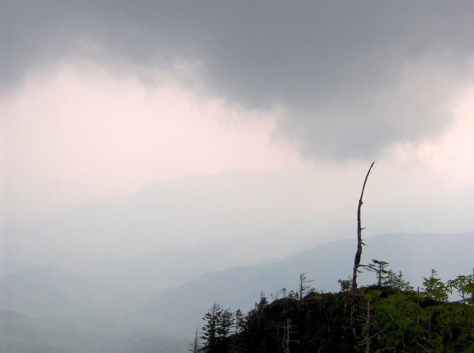
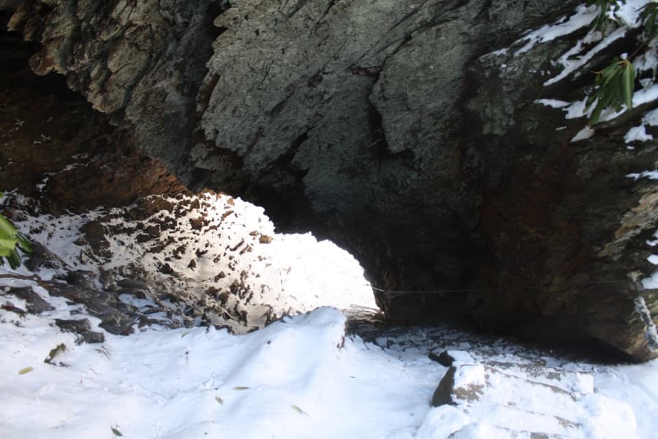
This is a high‑elevation route—expect cooler temps, wind, and rapid weather shifts. In winter or cold snaps, ice is common; traction can be essential. The outcrop has severe drop‑offs, and the trail includes rocky, rooty, sometimes muddy stretches. Take it seriously in storms, snow, or fog (which can erase the views).

Best Time to Visit

  • Time of day: Start at sunrise or late afternoon for softer light and fewer people; sunrise on the approach can be gorgeous and helps with parking.
  • Day of week/season: Weekdays and shoulder seasons are quieter. Newfound Gap fills quickly in peak periods.
  • Photography: Clear mornings often deliver the best long‑range visibility; fog can obscure everything, so watch the forecast.

Pros

  • Big-payoff panoramic views from a dramatic rock outcrop
  • Classic Appalachian Trail ridge walk with multiple vista stops
  • Easy add-on to The Jump Off for another stellar overlook

Cons

  • Small, crowded viewpoint and busy parking at Newfound Gap
  • Exposed cliffs and rocky, rooty footing; high-elevation weather can be harsh

Tips

  • Park at Newfound Gap and follow the Appalachian Trail eastbound; it’s not signed “Charlies Bunion” at the start.
  • Arrive early for parking and a quieter summit; a parking tag is required.
  • Carry layers—conditions near 6,000 feet can be windy, cold, or icy even when valleys are mild.
  • Treat or filter water from Icewater Spring if you plan to refill.
  • Consider adding The Jump Off near the Boulevard Trail junction for an extra killer view.
The Parkwolf tour guide sitting on a phone mounted in a car

Parkwolf Tour Guide

Like a tour guide in your car.

Save the places you found around Great Smoky Mountains, then let Parkwolf guide the drive between them.Download Parkwolf on the App Store