Challenging

Mount Sterling Trail

Relentless climb to a 360° panorama from a swaying historic tower.
Mount Sterling Trail, Great Smoky Mountains National Park
Distance5.4 mi
Typical time3.6 hr
DifficultyChallenging
PetsNot allowed

Overview

This is the straight-shot route to Mount Sterling’s famous fire tower: a 5.3–5.4 mile total out-and-back from Mount Sterling Gap with roughly 1,900–2,000 feet of gain. Short, steep, and steady is the story here. The path is generally wide and straightforward but it grinds uphill with few breaks. If you’re here for views, know that the payoff comes at the top—when you climb the tower. If you don’t plan to climb it, the hike can feel like a green tunnel.

The Climb

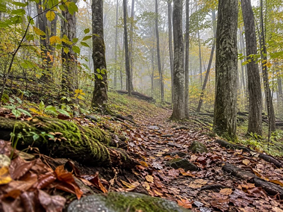
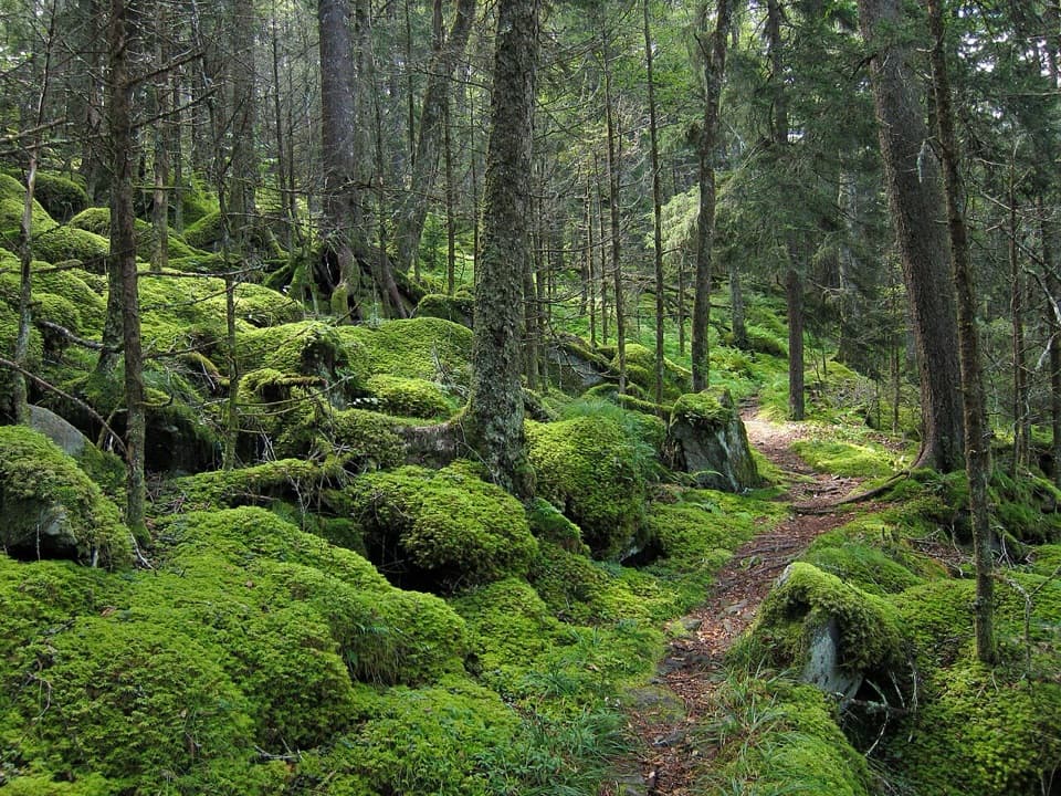
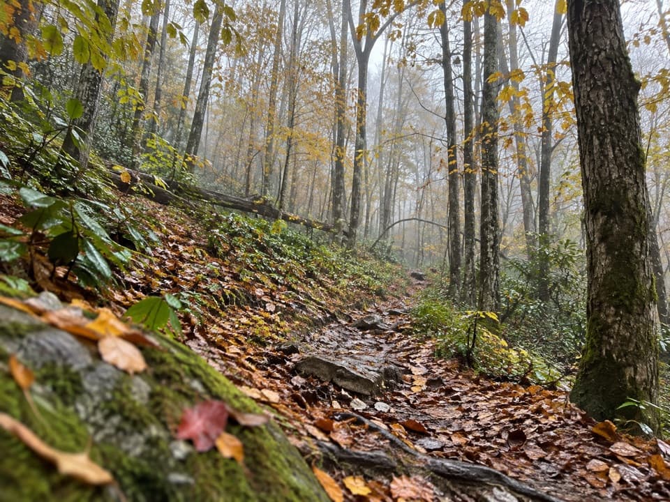
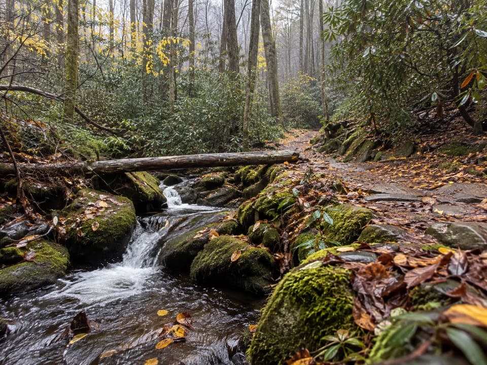
From the gap, the trail ascends through old-growth forest on long, sustained grades with some rocky, rooty sections. Expect switchbacks and a constant uphill rhythm. Near the ridge, you’ll pass into cool spruce–fir habitat, including red spruce with hefty trunks—an increasingly rare treat in the Smokies. A brief powerline cut just below the ridge teases the first glimpses before the final push.

Summit and Views

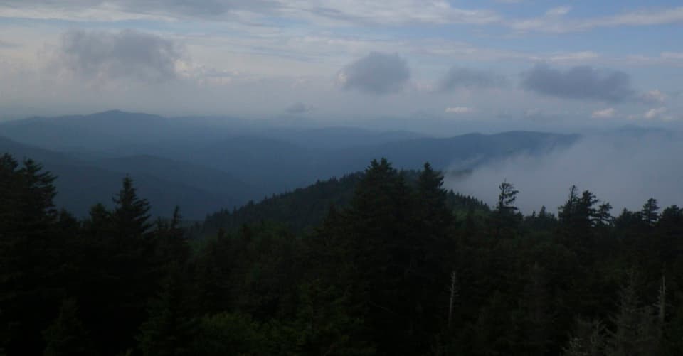
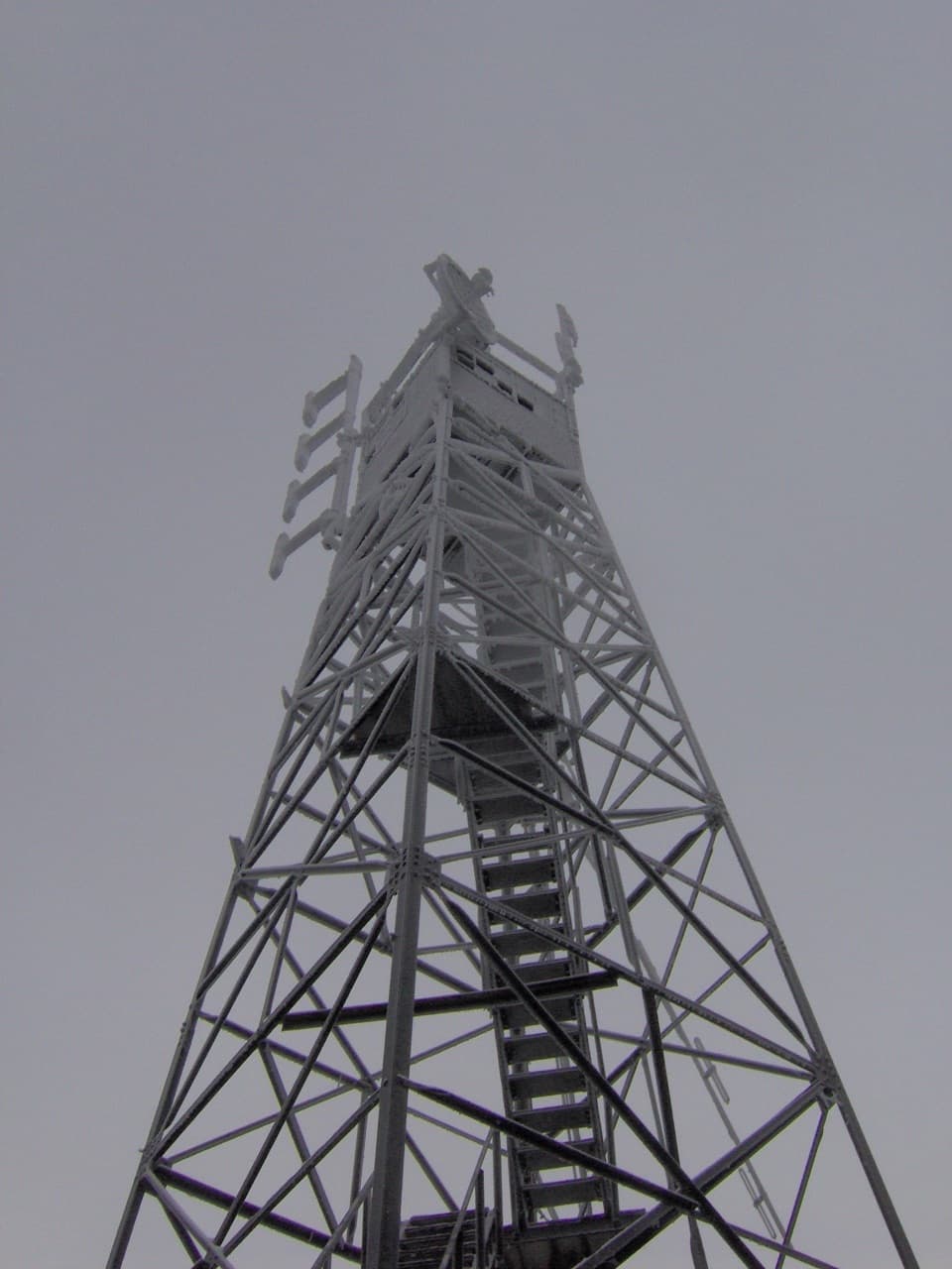
At the 5,8xx-foot summit, the 60-foot Civilian Conservation Corps fire tower (1935) is the reason you came. It’s often cited as the highest-elevation true fire tower still standing in the eastern U.S. The stairs can feel airy and the structure may sway in wind, but on a clear day the 360° panorama is spectacular—Balsam Mountain and Luftee Knob, Mount Guyot, Max Patch, and the Cataloochee Valley are all in view; on very clear days you may even pick out the Mount Cammerer tower. Without climbing the tower, there’s essentially no vista at the top.

History and Ecology Notes

Early settlers reportedly named the mountain after mistaking a lead seam by the Pigeon River for silver. The area holds Civil War lore as well—stories of deserters and the “Grooms Tune” have long been tied to these ridges. Ecologically, Mount Sterling is notable as the first Smokies site where the balsam woolly adelgid was observed in 1963; the insect has since devastated many Fraser firs in the park.

Getting There and Parking

Access is via Mount Sterling Road to Mount Sterling Gap—a narrow, winding gravel approach that can be rough and rutted. The road can close after severe weather, so check conditions before you go. Parking at the gap is very limited (a couple of vehicles, plus occasional pull-offs). The trail begins behind a metal gate.

Best Time to Hike

Go on a clear, calm day so the tower delivers the views you came for. Start early to beat clouds and secure a parking spot, and bring a layer—the ridge and tower can be windy. Avoid wet or icy conditions if you’re uneasy with exposure; the tower steps can be slick.

Tips and Alternatives

Bring plenty of water and trekking poles to tame the sustained grade. If heights make you uneasy, you can skip the tower, but understand the hike’s payoff is largely the panorama. For a bigger challenge with more solitude, a much tougher alternative climbs from Big Creek via the Baxter Creek Trail (about 11.7 miles round trip and ~4,120 feet of gain). Backpackers sometimes link routes or camp near the summit. Nearby, Cataloochee Valley is a good add-on stop for wildlife viewing, including elk.

Note: Pets are not allowed on the park’s backcountry trails, including this one.

Pros

  • Highest-elevation true fire tower in the East with sweeping 360° views
  • Distinct old-growth red spruce near the summit adds a unique high-elevation feel

Cons

  • Rough, narrow gravel access with very limited parking at the gap
  • No real views unless you climb the tower; the trail can feel monotonous

Parking

Very limited roadside parking at Mount Sterling Gap on Mount Sterling Road; the narrow gravel approach can be rutted and occasionally closes after severe weather. Trail starts behind a metal gate.

Caution

Steep, sustained ascent with rocky sections; tower stairs can be slick when wet or icy and the structure may sway in wind—use caution if you’re sensitive to exposure. Check road status before driving the gravel approach.

The Parkwolf tour guide sitting on a phone mounted in a car

Parkwolf Tour Guide

Like a tour guide in your car.

Bring Great Smoky Mountains trail research into the car, with offline maps and stories that play as you drive.Download Parkwolf on the App Store