Challenging

Ramsey Cascades Trail

Steep, rugged climb to the park's tallest accessible waterfall
Ramsey Cascades Trail, Great Smoky Mountains National Park
Distance8 mi
Typical time5 hr
DifficultyChallenging
PetsNot allowed

Overview

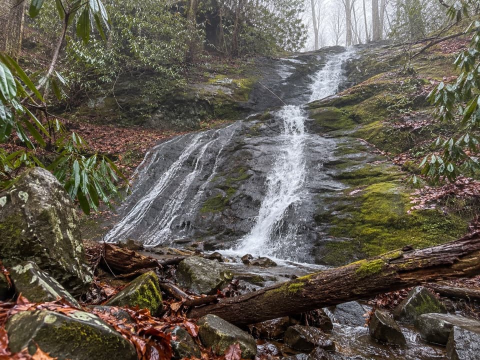
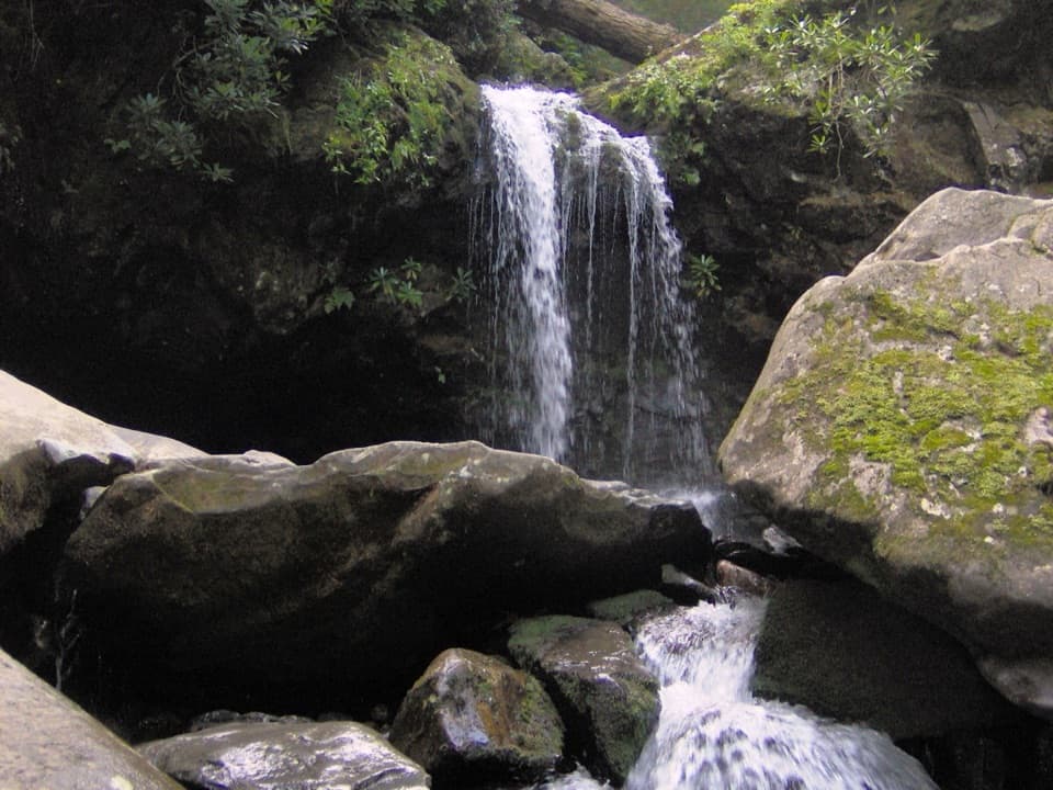
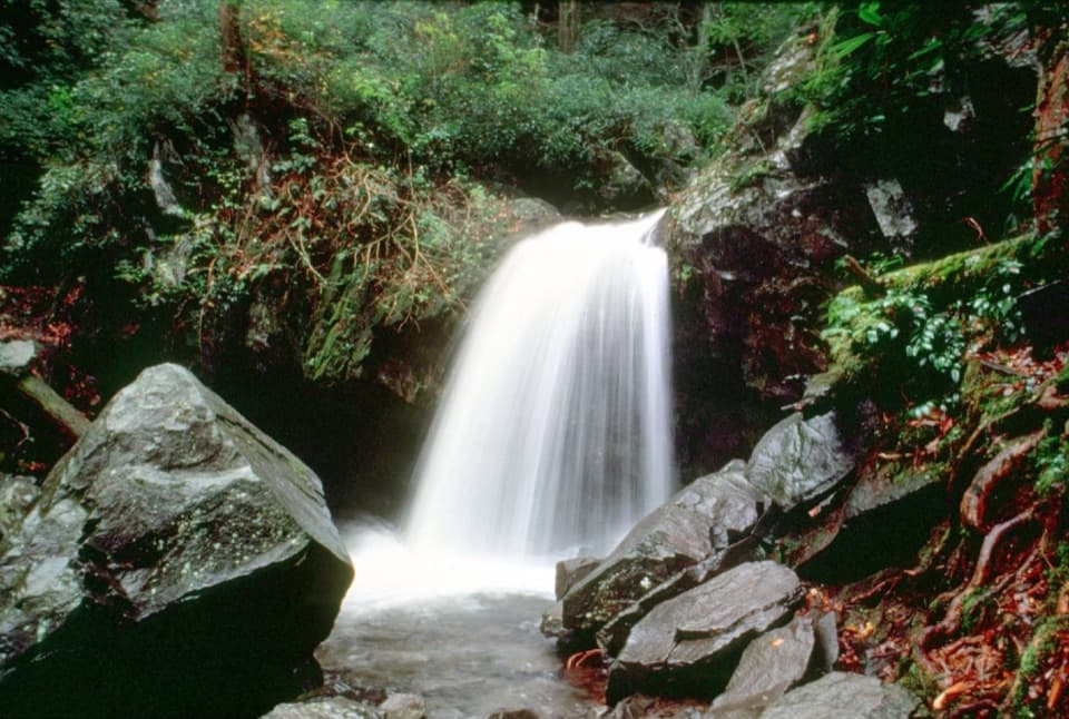
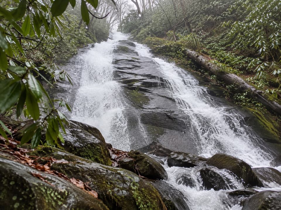
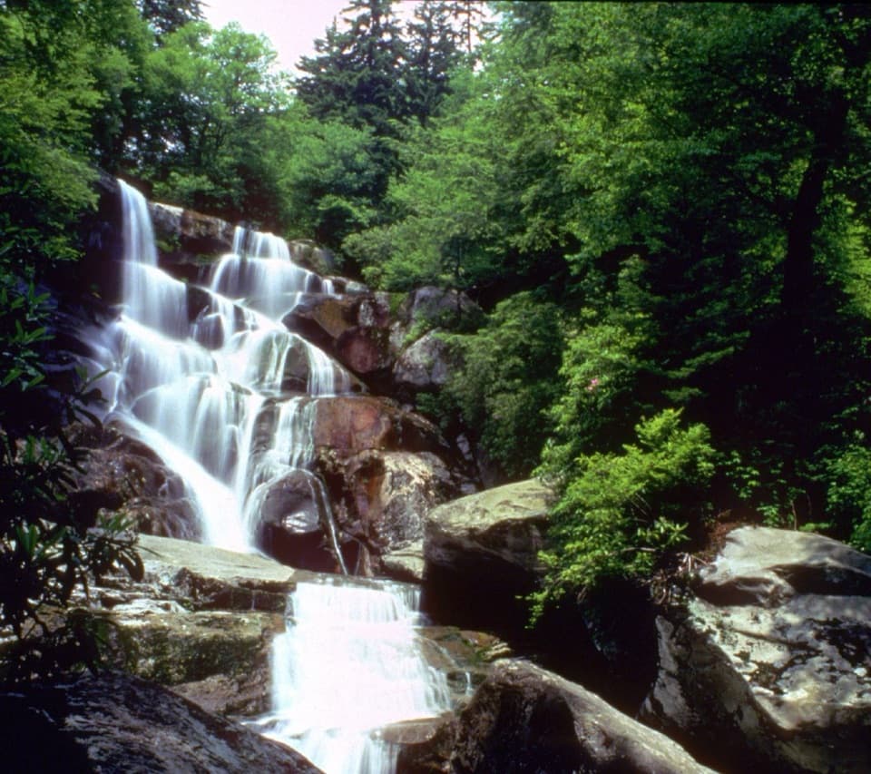
This out-and-back trek earns its reputation: 8 miles total with over 2,000 feet of gain to a 105-foot, tiered waterfall—the tallest you can reach by trail in the park. Ramsey Cascades spills over ledges into a small pool where salamanders are often spotted, and the creek you follow is fed from Mt. Guyot high above. It’s strenuous, beautiful, and very much a full-day affair for most hikers.

Route Preview

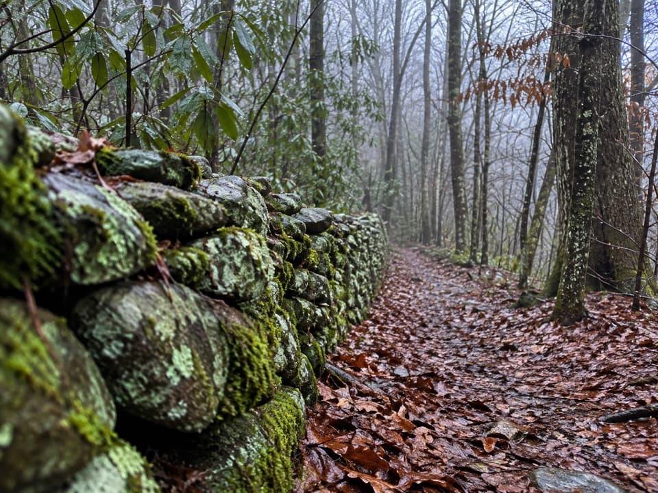
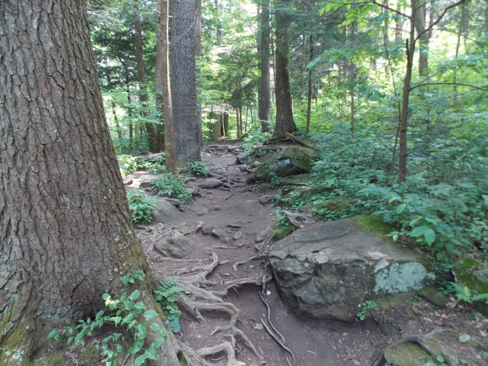
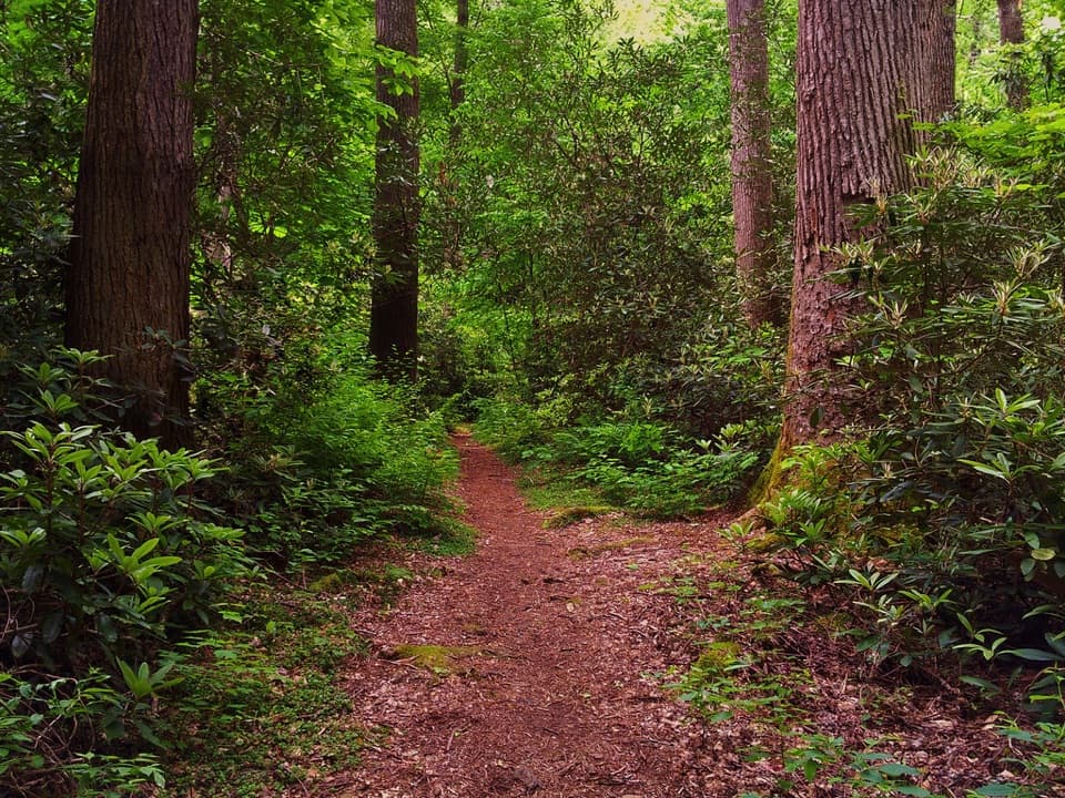
The first 1.5 miles are on an old roadbed through cove hardwood forest—wide and relatively gentle. After that, the path narrows and turns rocky as it hugs Ramsey Prong. Expect several footlog bridges and stream crossings, including a long, high, narrow footbridge that can feel airy. The final mile is the crux: steep, rooty, and bouldery, now interspersed with many added stone and wood steps from a recent multi-year restoration.

Forest and Water

The upper trail passes through one of the park’s standout old-growth cove hardwood forests, with towering tulip poplar, hemlock, basswood, silverbell, and yellow birch. Along the way you’ll have near-constant whitewater views—small cascades, rapids, and pools—before the big finale at the falls.

Difficulty and Time

Plan on 4–6 hours depending on pace, photo stops, and a break at the waterfall. The grade is steady most of the way and ramps up significantly near the end. Many hikers find the return trip tougher on knees and ankles—trekking poles help. Some report the hike feels longer than the posted distance.

Best Time to Hike

This trail is hikeable year-round. After rains, the waterfall is most powerful, but rocks, bridges, and roots are slick—use extra caution. Expect mud after storms and occasional ice in winter. It’s shaded almost the entire way and noticeably cooler at the falls, so carry an extra layer even in warm months. For lighter crowds and easier parking, start early and aim for weekdays.

Logistics, Access, and Recent Work

Trailhead access is via Ramsey Prong Road in the Greenbrier area. The last ~3 miles are narrow gravel—passable by car with care, though a higher-clearance vehicle is more comfortable. Parking is limited; arrive early. A parking tag is required, and shuttles may operate at times. The park completed a three-year rehabilitation here, adding bridges, hundreds of steps, drainage features, and a short reroute after flood damage—work that blends into the landscape while improving safety and reducing erosion.

Safety and Etiquette

Do not climb on or above the falls—rocks are muddy and slick. Bridges and creekside rocks can be slippery, especially after rain. Bring sturdy footwear, 2+ liters of water per person, snacks or lunch, a rain layer, and a warm layer for the falls. Pets are not permitted on this trail. Start early, pace yourself, and give yourself time to enjoy the destination.

Pros

  • Rare old-growth cove hardwood forest in the final miles
  • Recent trail restoration added steps and bridges for safer footing

Cons

  • No restrooms at the trailhead
  • Rugged final mile with a high, narrow footbridge

Parking

Small lot at Ramsey Cascades Trailhead on Ramsey Prong Road (Greenbrier). Last ~3 miles are narrow gravel; arrive early. A parking tag is required; shuttle options may be available at times.

Caution

Do not climb around the falls—rocks are muddy and slick. Bridges and roots are slippery after rain; the high, narrow footbridge can feel exposed. The final mile is steep and rocky—use poles and watch footing on the descent.

The Parkwolf tour guide sitting on a phone mounted in a car

Parkwolf Tour Guide

Like a tour guide in your car.

Bring Great Smoky Mountains trail research into the car, with offline maps and stories that play as you drive.Download Parkwolf on the App Store