Challenging

Old Settlers Trail

Long, quiet traverse of Smokies homesteads, chimneys, and creeks
Old Settlers Trail, Great Smoky Mountains National Park
Distance15.8 mi
Typical time8.3 hr
DifficultyChallenging
PetsNot allowed

Overview

If you love Smokies history and don’t mind earning it, Old Settlers Trail is your long, rewarding walk through the park’s past. This is a 15.8‑mile point‑to‑point traverse with roughly 3,529 feet of total ascent, typically taking about 8–9 hours. Expect a rolling, forested journey stitched together by creeks, rhododendron and laurel tunnels, sandstone outcrops, and the ruined fingerprints of former communities: freestanding stone chimneys (some with distinctive V‑hearths), lengthy stone walls, homesites, and small cemeteries. It’s open year‑round and, while popular with dedicated hikers, it’s often pleasantly quiet.

Route and Direction

You can hike west↔east between the Greenbrier side and the Maddron Bald side. From the east, Old Settlers is reached via the Maddron Bald trailhead off US‑321/Baxter Road; the junction with Old Settlers sits about 1.2 miles up the Maddron Bald Trail. On the west end, the route starts in the Greenbrier area near the Middle Prong of the Little Pigeon River. A car shuttle makes the full traverse enjoyable in a single day; otherwise, sample it as an out‑and‑back from either end or split the traverse into two days using Backcountry Campsite 33 around the midpoint.

What You’ll See

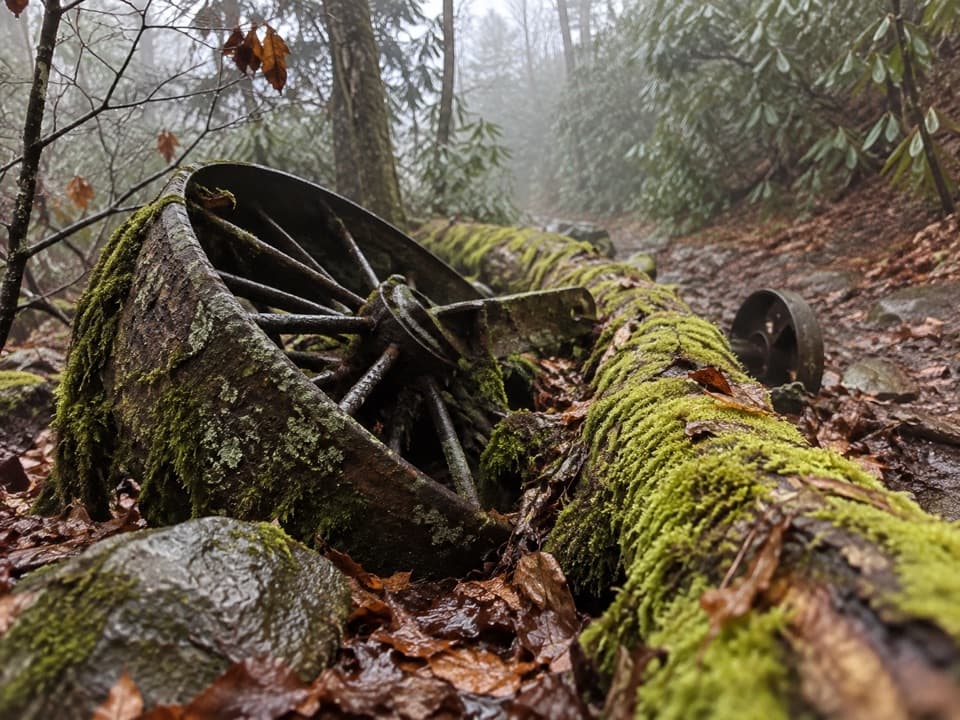
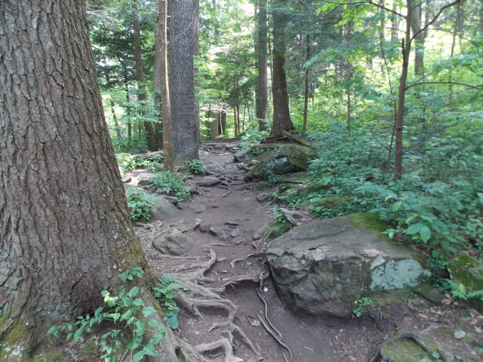
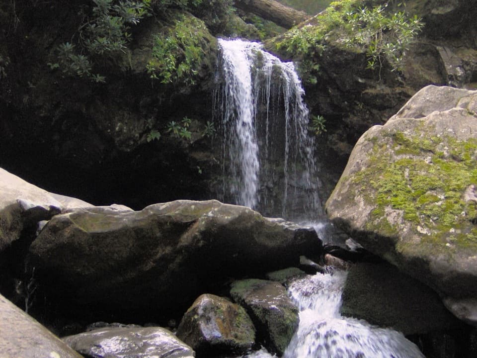
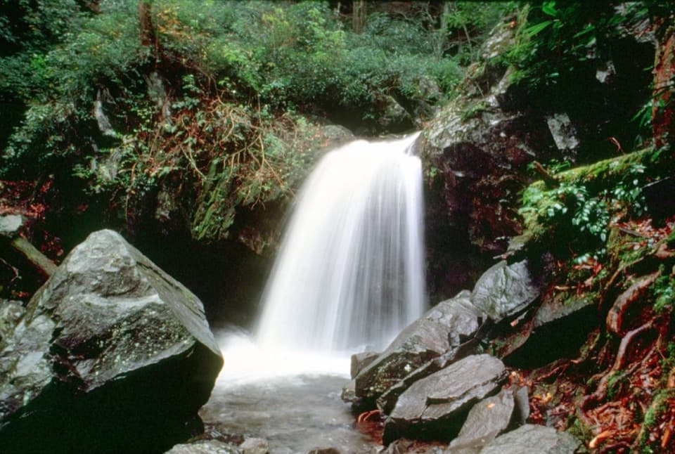
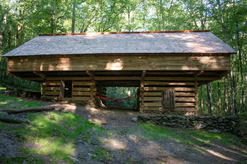
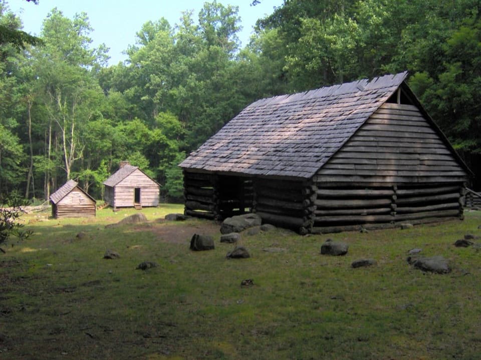
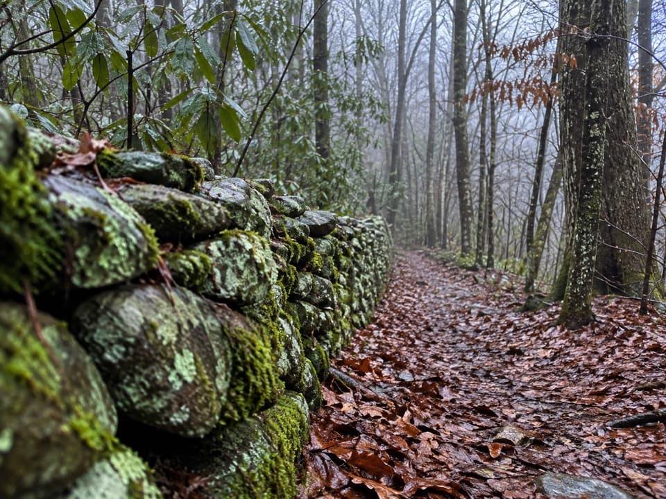
History is the headline here. Moving west to east, you’ll pass Bird Creek and Little Bird Creek with low stone walls and old roadbeds; the Copeland Creek valley where Bonwell Chapel once stood; Snakefeeder Branch with multiple fallen chimneys; and the Soak Ash, Evans, and Timothy Creek area, home to notable stonework and a V‑hearth chimney with a nearby smokehouse site. Farther along, Redwine and Ramsey Creeks bring multiple crossings and more ruins; Noisy Creek is marked by signposts and old homesites; Texas Creek features an unusually long stone wall; and around Webb Creek there’s an option to visit pioneer sites including a barn. The forest mix shifts across hollows—hemlock, pine, oak, and mixed hardwoods—punctuated by rhododendron and laurel, with occasional ridge sections offering filtered views.

Conditions, Difficulty, and Gotchas

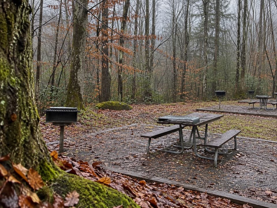
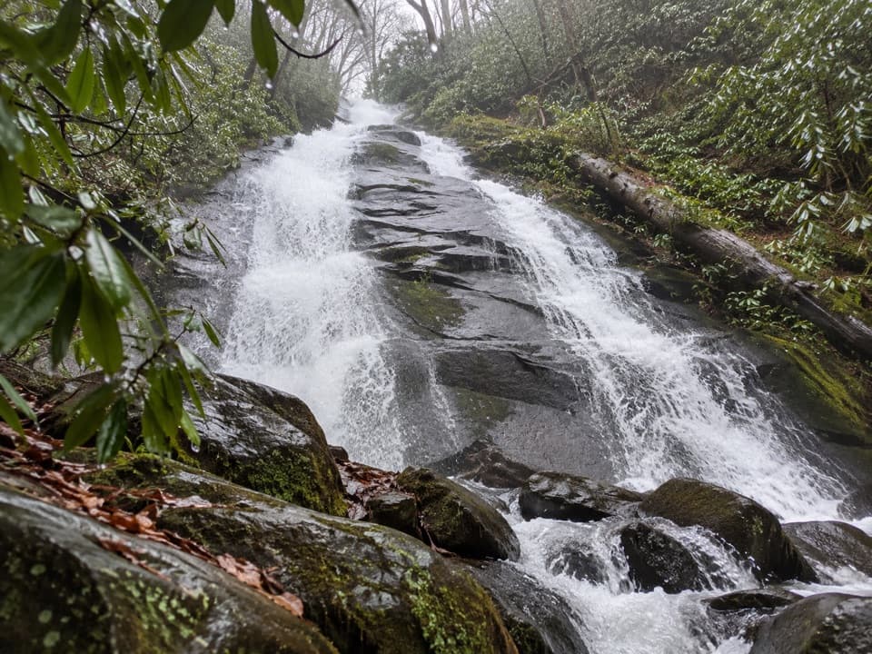
This is a strenuous day: a long distance with steady, rolling elevation and numerous unbridged creek crossings. After rain, water can run high and turn easy fords into unsafe ones. The tread is generally smoother and less rocky than many Smokies trails, which helps the miles tick by, but there are still steep sections. Navigation is straightforward on the maintained path, yet you’ll see intersecting old roads and manways—stick to the signed trail. Historic features are much easier to spot in leaf‑off; in summer, vegetation can hide ruins and off‑trail poking invites snags and snakes. Dogs are not permitted.

Logistics and Tips

  • Best tackled with a shuttle to truly enjoy the traverse in one push. If not, do two generous out‑and‑backs from each end to sample the highlights.
  • Bring water shoes or plan for wet feet—the fords add up, and conditions spike after rain.
  • Start early to bank daylight and give yourself time to explore the historic sites.
  • A parking tag is required for vehicles in the park.

Best Time to Hike

Late fall through early spring is stellar: cooler temps, low water more often, and leaf‑off that reveals chimneys, walls, and old foundations. After heavy rains, give the creeks time to drop. Weekdays are quieter. Morning light plays nicely in the rhododendron tunnels and along the creeks; aim to be off the wet crossings before late‑day shadows and rising flows.

Bottom Line

Not a views‑for‑miles blockbuster, but an underrated, immersive history hike that rewards patient walkers with a tangible sense of the Smokies’ past—one chimney, wall, and creek at a time.

Pros

  • Numerous historic ruins—chimneys with V‑hearths, stone walls, homesites, and small cemeteries
  • Smoother tread than many Smokies trails, making the long miles more consistent
  • Often quiet despite its popularity, providing real solitude on a long traverse

Cons

  • Many unbridged creek crossings; after rain the fords can be unsafe
  • Logistics heavy for a day hike—best with a car shuttle between ends
  • Historic features are harder to spot when leaves are on

Parking

Two primary access points: west at the Greenbrier area near the Middle Prong of the Little Pigeon River; east at the Maddron Bald trailhead off US‑321 via Baxter Road (Old Settlers is about 1.2 miles up Maddron Bald). A park parking tag is required. Shuttle a car for a true point‑to‑point.

Caution

Expect numerous unbridged creek crossings that can become hazardous after rain; stay on the signed trail despite intersecting old roads/manways; long mileage and rolling climbs make for a strenuous day.

The Parkwolf tour guide sitting on a phone mounted in a car

Parkwolf Tour Guide

Like a tour guide in your car.

Bring Great Smoky Mountains trail research into the car, with offline maps and stories that play as you drive.Download Parkwolf on the App Store