
Place
Moderate
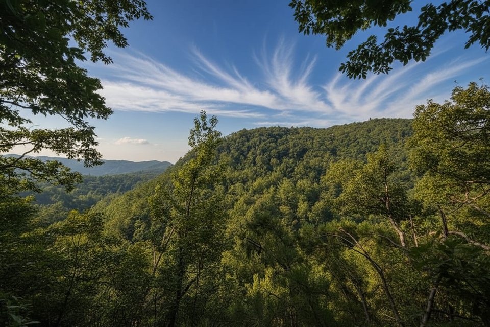
A locals’ favorite in the Tremont area, this unofficial-but-signed spur off the Lumber Ridge Trail delivers a lot of payoff fast. The hike is roughly 1.6 miles total, out-and-back, to Spruce Flats Falls. Expect a moderately challenging track with a few short climbs, rough tread, and a steep finish to the falls. Dogs aren’t allowed.
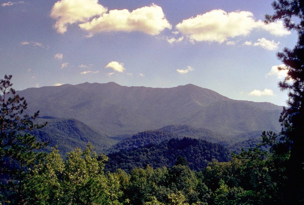
Park at the Great Smoky Mountains Institute at Tremont and follow the short gravel service road to the Lumber Ridge Trailhead. In about 0.1 mile, turn right at the posted sign for the Buckeye Trail/Spruce Flats Falls. The trail switchbacks past a water tower, then rolls across small ravines under dense forest. Two open spots offer rewarding looks across Walker Valley toward Thunderhead Mountain. The finale is a steeper descent aided by a narrow, hand-hewn log staircase that drops you to the base of Spruce Flats Falls—a four-tier cascade (with a highly photogenic ~30-foot middle drop) pouring into a tranquil pool.
Footing is rocky and rooty in places, with a few short, steeper pitches—sturdy footwear is worth it. The narrow staircase near the falls is single-file and can bottleneck on busy days. While this path isn’t shown on the official park map, it’s well worn and straightforward thanks to signage at Tremont. Wildlife sightings happen; one hiker reported encountering a bear. Facilities at Tremont include parking and restrooms.
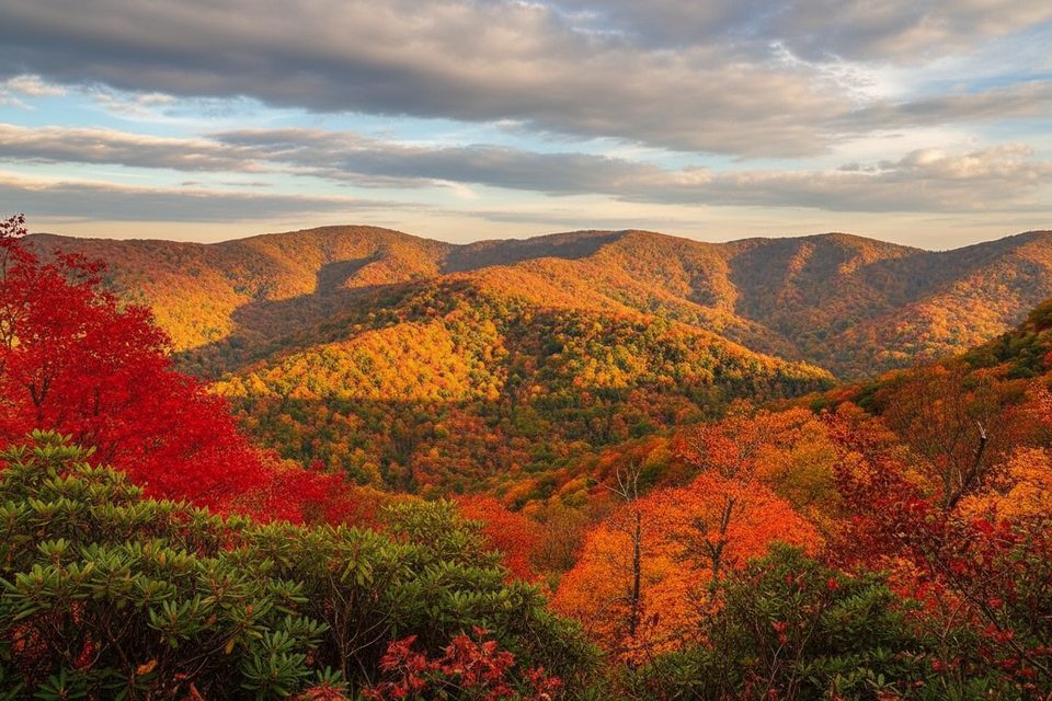
It’s hikeable year-round. Fall brings standout color in the valley views and makes the waterfall scene pop. To dodge crowds and move more easily on the narrow stairs, start early.
Park at the Great Smoky Mountains Institute at Tremont; walk the short gravel service road behind the red building to the Lumber Ridge Trailhead, then follow signs to the Buckeye Trail/Spruce Flats Falls. Restrooms available at Tremont.
Rough, rocky tread with roots; steep final descent on a narrow, single-file log staircase. Wet rocks around the falls are slick. Occasional bear sightings—give wildlife space.
Place
Place
Place
Place
Challenging
Moderate
Challenging
Easy

Parkwolf Tour Guide
