
Place · 0 mi away
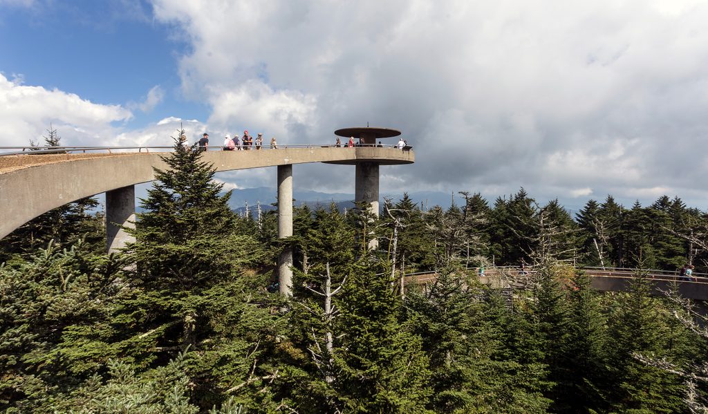
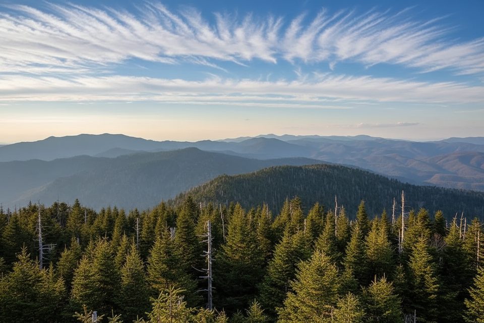
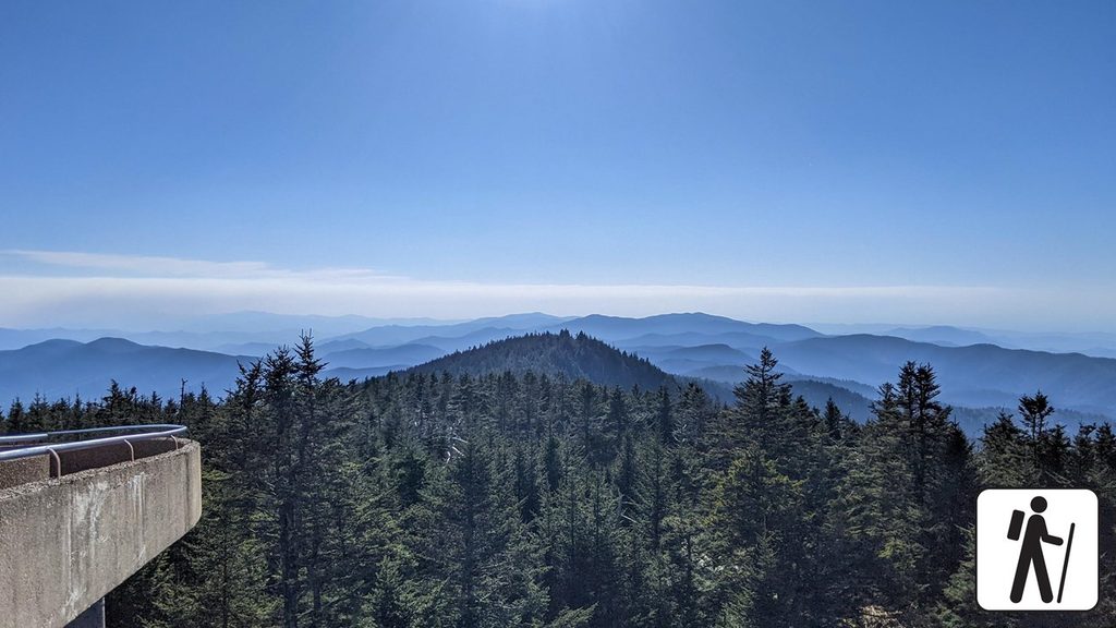
Kuwohi (ᎫᏩᎯ), formerly known as Clingmans Dome, is the highest point in the park and in Tennessee at 6,643 feet, and it’s also the high point of the Appalachian Trail. A 45-foot, spiral-ramp observation tower (built in 1959 under the Mission 66 program and listed on the National Register of Historic Places) crowns the summit, delivering 360° vistas—about 20 miles on hazy days and up to 100 miles when the air is crystal clear.
A 7-mile spur road from Newfound Gap leads to the summit parking area, typically open April through November (closed in winter). From the lot, it’s a short but sustainedly steep paved walk of roughly 0.5 miles to the tower, with benches along the way. Pets and bicycles aren’t permitted on this or nearby trails.
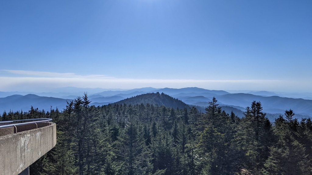
On clear days, the view is a sea of blue ridgelines in every direction. The summit hosts a high-elevation Southern Appalachian spruce–fir forest—more like northern forests than the valleys below. You’ll also notice die-off among Fraser firs from the non‑native balsam woolly adelgid, a stark reminder of how fragile this ecosystem is. An air‑quality monitoring station operates here, too. Sunrises and sunsets can be superb, though haze is common.
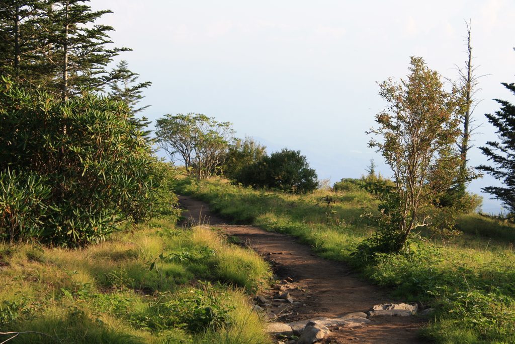
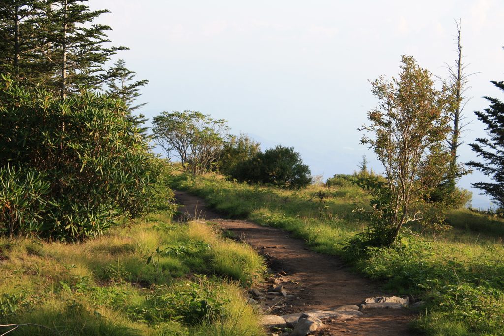
The Appalachian Trail crosses just north of the tower. From the parking area, the Forney Ridge Trail heads to Andrews Bald for a quieter, scenic add‑on. Other routes like the Forney Creek Trail drop toward Fontana Lake, and this is also the western terminus of North Carolina’s Mountains‑to‑Sea Trail.
Kuwohi means “Mulberry Place” in Cherokee. In September 2024, the United States Board on Geographic Names approved restoring the Cherokee name after an initiative by the Eastern Band of Cherokee Indians, recognizing the mountain’s cultural significance and traditional stories—like the White Bear, chief of all bears, and a nearby healing lake in local lore. The peak was once called Smoky Dome and later renamed for Thomas Clingman in the 1850s during well‑publicized disputes over the region’s highest summit. A B‑29 bomber crashed near the summit in 1946.
This is bear country—black bears are emblematic of the Smokies. Keep your distance if you spot wildlife and follow posted guidance at the site.
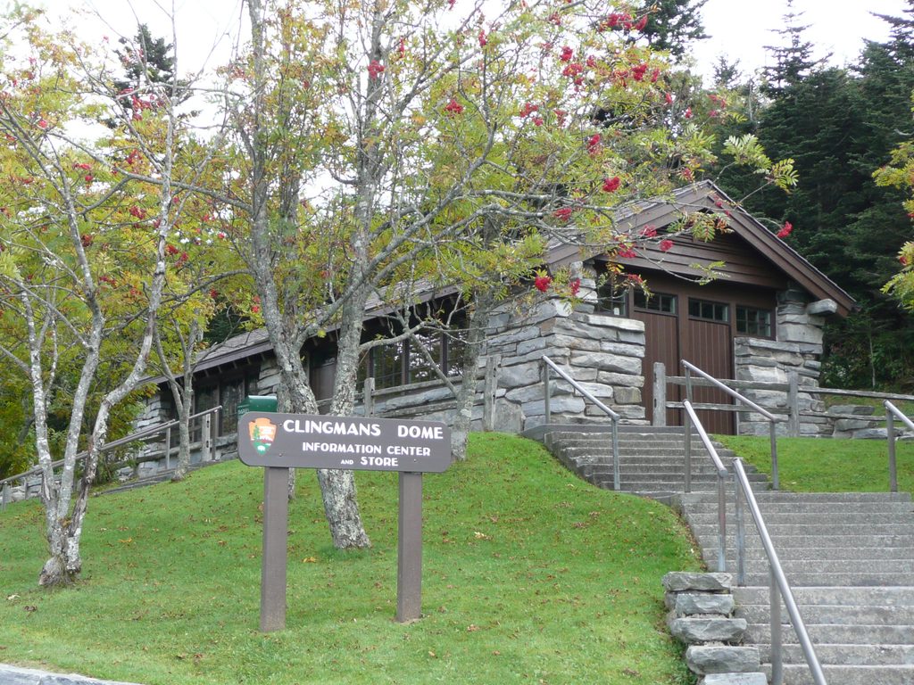
A small visitor center/bookstore sits by the parking area. Expect vault (pit) toilets and basic services; potable water isn’t listed—bring your own. Parking is ample but fills quickly, especially in peak months. If you’re staying longer than 15 minutes, a park parking pass is required.
It’s often 10–20°F cooler up here with frequent wind, clouds, and rapidly changing conditions—pack layers even in summer. Visibility swings from socked‑in to breathtaking; the best views follow a clearing front.
Place · 0 mi away
Place · 0.4 mi away
Place · 1.5 mi away
Place · 2.4 mi away
Moderate · 0.4 mi away

Challenging · 0.4 mi away
Easy · 0.4 mi away
Moderate · 0.4 mi away

Parkwolf Tour Guide
