
Place · 0 mi away
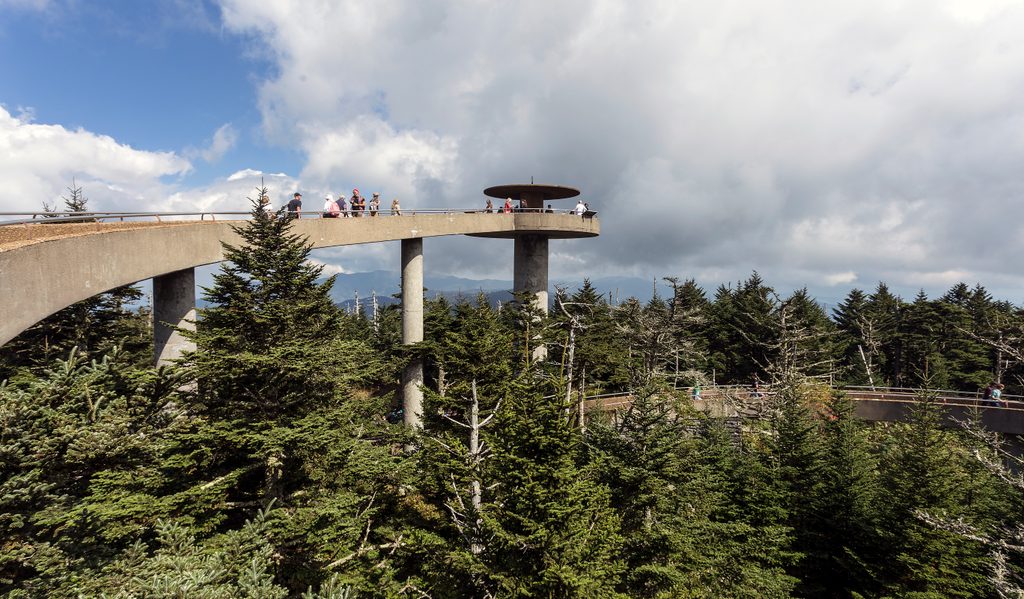
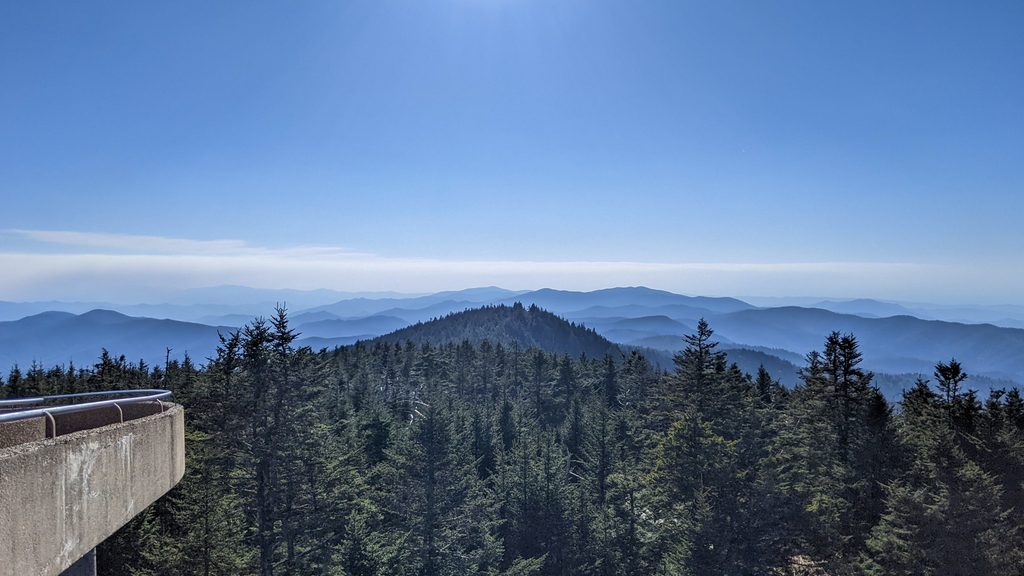
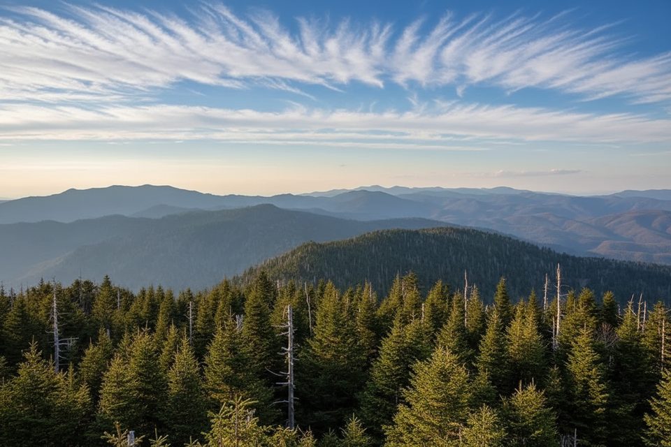
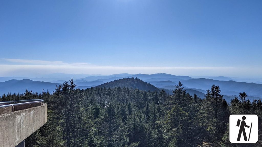
Perched atop Kuwohi (the mountain’s restored Cherokee name), the 54‑foot Clingmans Dome Observation Tower delivers wraparound Smokies vistas from 6,643 feet—the park’s and Tennessee’s high point. On crystal-clear days you can see up to roughly 100 miles; on hazier days expect far less.
From the circular platform, the view sweeps over serrated blue ridges, high-elevation spruce–fir forest, and deep Appalachian valleys. Sunrises and sunsets glow here, and the Appalachian Trail crosses just below, marking its highest point.
Drive the 7-mile Kuwohi/Clingmans Dome Road from Newfound Gap to a large parking area. From there, it’s a steep but paved 0.5-mile walk (benches along the way) to the tower’s spiral ramp. Pets and bicycles aren’t permitted on the trail to the tower.
Opened in 1959 during the National Park Service’s Mission 66 era, the modernist concrete tower is a mid‑century icon: a 375‑foot, 12%‑grade spiral ramp to a 28‑foot‑wide circular deck. It’s listed on the National Register of Historic Places and underwent a rehabilitation in 2018 to address decades of harsh weathering.
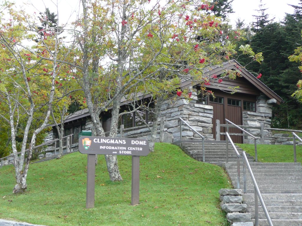
It’s cooler, windier, and cloudier than the valleys—bring layers year‑round. There’s a small seasonal visitor center and shop at the parking area, plus ADA‑compliant vault toilets (no running water), so carry your own drinking water.
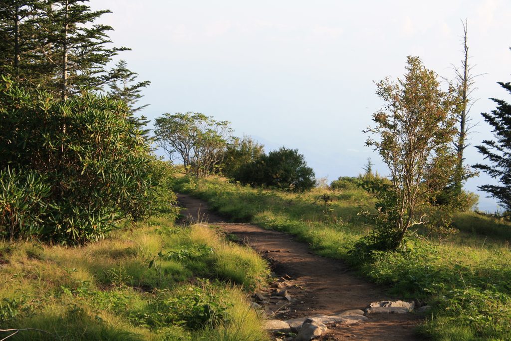
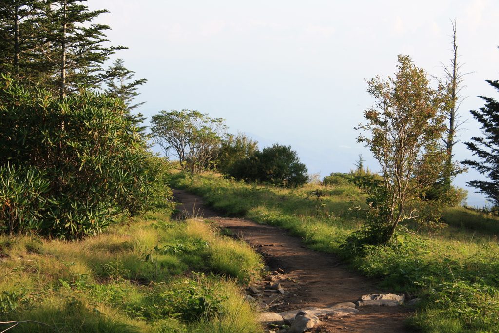
The Appalachian Trail crosses just north of the tower. From the parking area, Forney Ridge Trail heads to Andrews Bald, a great side trip for views and summertime wildflowers.
High-country forests shelter birds and small mammals, and it’s not uncommon for visitors to encounter black bears elsewhere along the drive in the park—give all wildlife ample space and never feed them.
People typically spend up to 30 minutes here, not counting the walk. Give yourself extra time for parking, the steep ascent, and lingering on the deck when the sky cooperates.
Place · 0 mi away
Place · 0.4 mi away
Place · 1.5 mi away
Place · 2.4 mi away
Moderate · 0.4 mi away

Challenging · 0.4 mi away
Easy · 0.4 mi away
Moderate · 0.4 mi away

Parkwolf Tour Guide
