Pros & cons
PROS
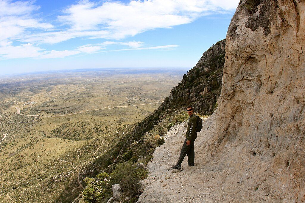
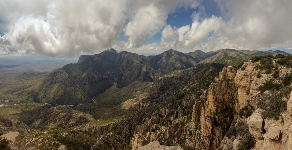
- Big desert-and-mountain views right beneath El Capitan’s face
- Usually quiet with good solitude
- Short spur to Salt Basin Overlook for sweeping vistas
CONS
- Very exposed with little to no shade and frequent wind
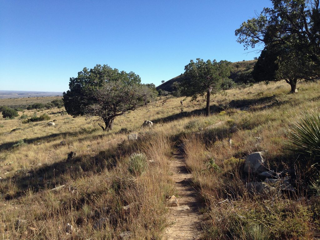
- Rocky, overgrown tread with cactus and loose rock
Overview
El Capitan Trail is the park’s long, lonely ramble along the base of its most iconic limestone face. It’s an out-and-back that most hikers call around 9 miles, rated moderate, and typically takes 4–6 hours. Expect rugged desert terrain, big sky, and the satisfaction of standing beneath the cliffs that define the skyline.
Route Snapshot
Start from the Pine Springs trailhead near the campground. The path contours out of Pine Canyon and trends south along the flanks of Guadalupe Peak toward El Capitan. Most people turn around around the 4.5-mile mark, after the trail wraps to the backside/base of El Capitan; beyond that, scenery doesn’t change much unless you’re committing to a very long day.
Don’t Expect a Summit
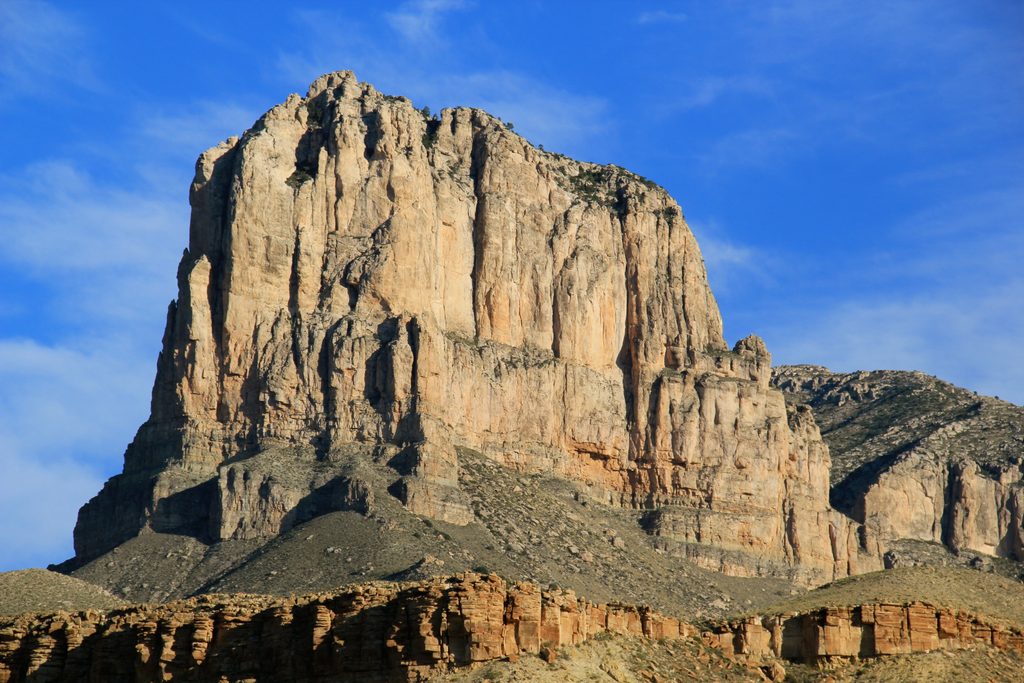
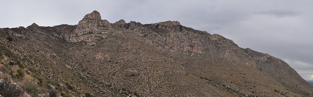
This trail does not go to El Capitan’s summit. It travels beneath the peak, which is why the views looking up are so dramatic. If you want a summit day, plan for Guadalupe Peak instead.
What You’ll See
- Big-angle views of El Capitan’s sheer limestone face and the surrounding desert basins.
- A short spur around ~3.5 miles reaches the Salt Basin Overlook with vast desert panoramas—highly recommended.
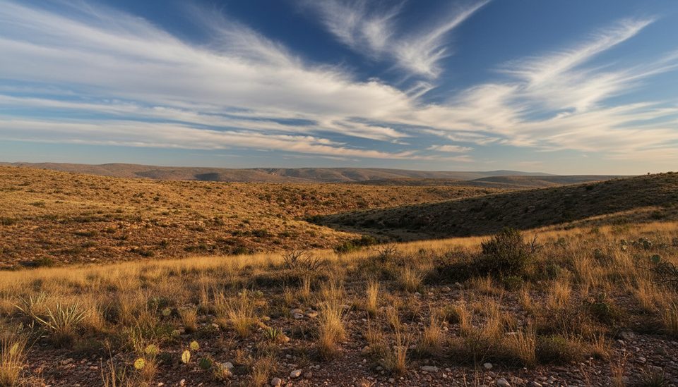
- Classic Chihuahuan Desert flora (sotol, agave, prickly pear) and occasional fossils embedded in the Permian reef limestone.
- Wildlife sightings are possible—mule deer, birds, and the occasional snake. Stay alert and give all wildlife space.
Trail Conditions and Hazards
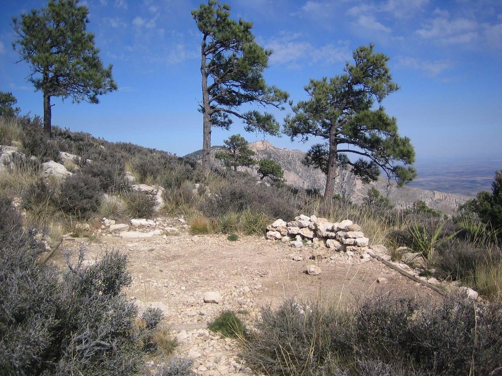
Footing is rocky with some loose sections and light overgrowth at trail margins—long pants help against thorns and cactus. Shade is virtually nonexistent, and this area can be very windy. There is no water on the route.
Logistics: Parking, Restrooms, Water
Park at the main Pine Springs hiking lot by the trailhead. Restrooms are available at the trailhead/visitor center area. Fill all water before you start; the park has no food or gas services, and there’s no reliable water on the trail.
Best Time to Visit
Late fall through early spring offers the most comfortable temperatures. Start early for cooler air and better light on the cliffs. In summer, heat and sun exposure make this a slog; winter can bring strong winds and storms—check the forecast.
Who Will Love It (and Who Won’t)
If you’re into big desert vistas, geology, and solitude, this is your hike. If you prefer shade, frequent landmarks, or a summit payoff, consider Devil’s Hall or Guadalupe Peak instead.
Quick Stats
- Distance: ~9 miles out-and-back (typical turnaround at the backside of El Capitan)
- Elevation gain: ~1,650 ft; starting elevation ~5,830 ft
- Difficulty: Moderate
- Time: 4–6 hours
Where it is
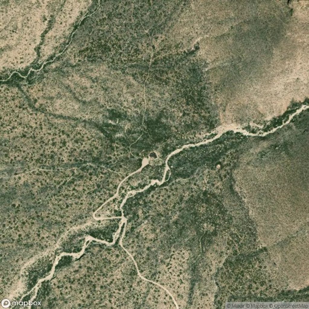
31.8847, -104.8636Tips for El Capitan Trail
- 01Start at first light to beat heat, wind, and get better cliff light.
- 02Carry 3–4 liters per person (more in warm or windy conditions).
- 03Wear long pants and sturdy shoes—rocky tread and thorny brush.
- 04Take the short spur to Salt Basin Overlook around mile 3.5.
- 05Most hikers turn around near 4.5 miles when the trail wraps behind the peak.
Amenities
Near El Capitan Trail
All places →All trails →
0.5 mi awayGuadalupe PeakTop of Texas via a tough, view-packed ridge hikeScenic Viewpoint
0.6 mi awayEl CapitanIconic limestone fin with roadside views and a quiet desert hikeScenic Viewpoint · Pullout
0.8 mi awayGuadalupe Peak Wilderness CampgroundWindy, primitive camp 1 mile below the Top of TexasCampground · Scenic Viewpoint
1.3 mi awayWilliams Ranch HouseRemote 1908 ranch under towering cliffs with big salt flat viewsScenic Viewpoint
2.2 mi awayGuadalupe Ridge TrailRemote, 100-mile desert-to-skyline traverse ending on Guadalupe PeakChallenging · 100 mi · 144 hr
2.2 mi awayGuadalupe Peak TrailStrenuous climb to the Top of Texas with sweeping desert viewsChallenging · 8.4 mi · 7 hr
2.2 mi awayHunter Peak via Bear Canyon and Tejas LoopSteep climb, huge views, and cool pine forests in one loopChallenging · 8.7 mi · 7 hr
2.2 mi awayBush Mountain TrailRemote ridge climb to Texas's second-highest summit with big viewsChallenging · 13.2 mi · 7.5 hr