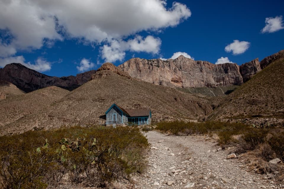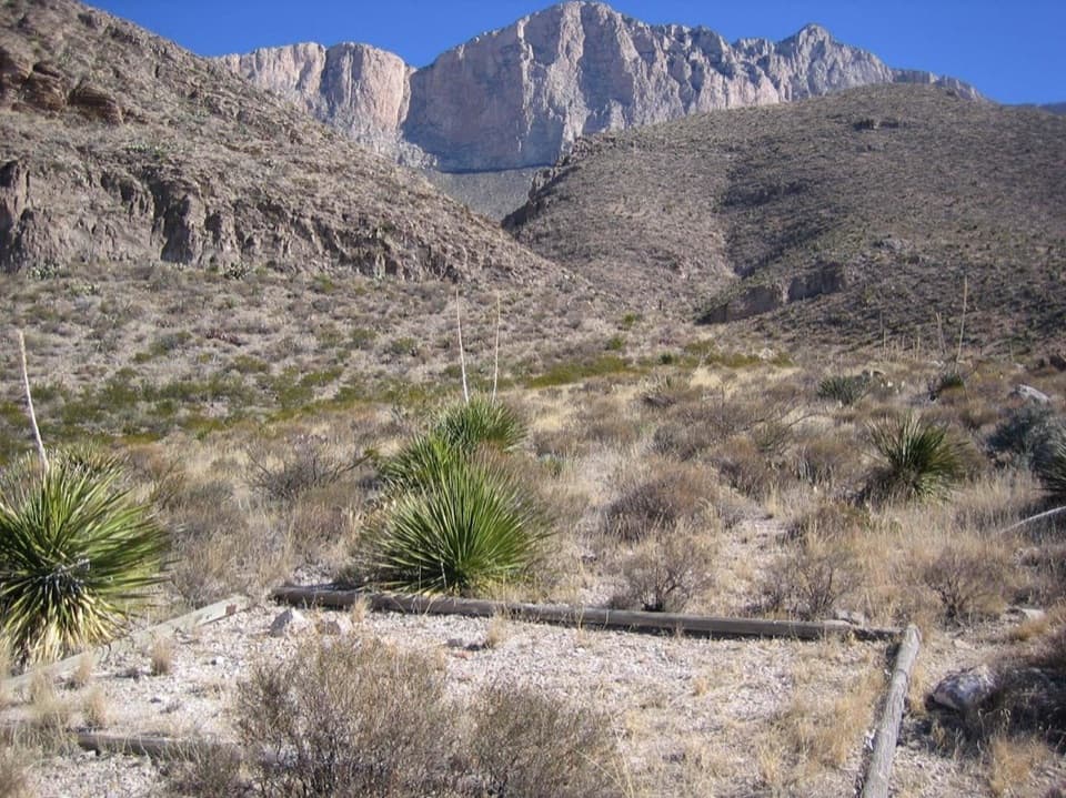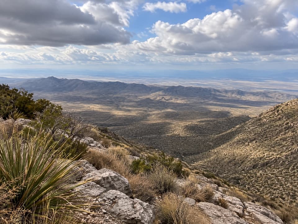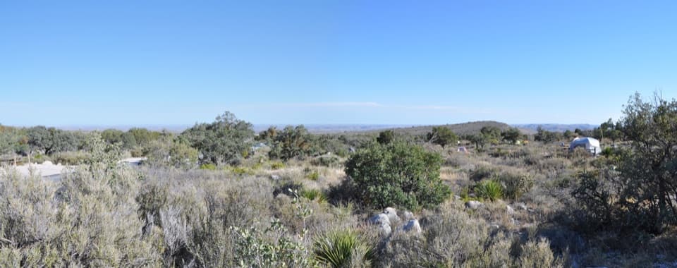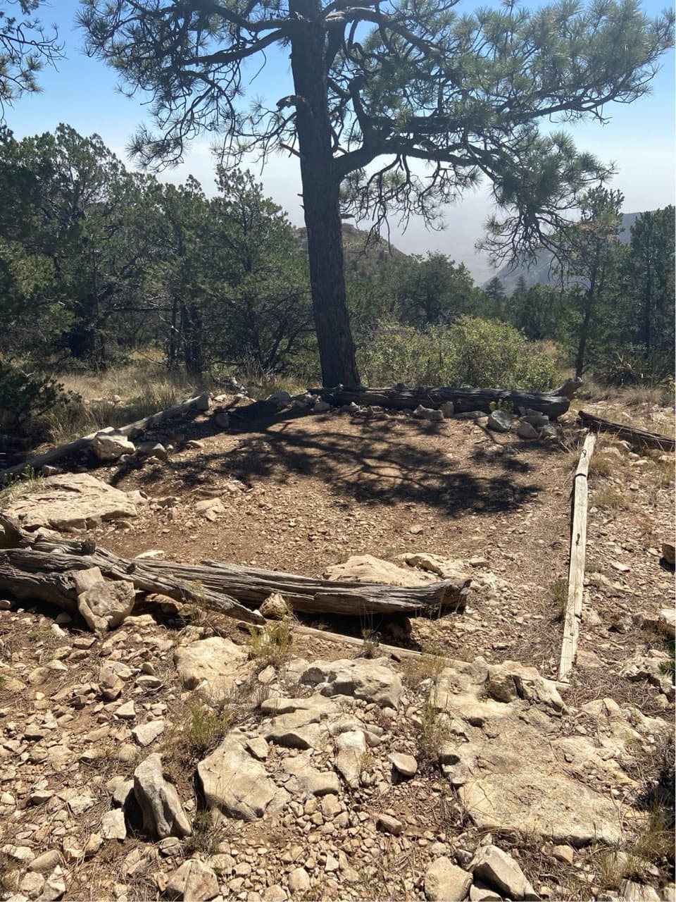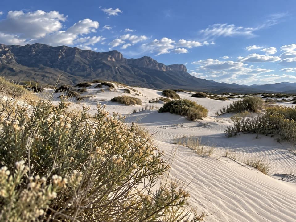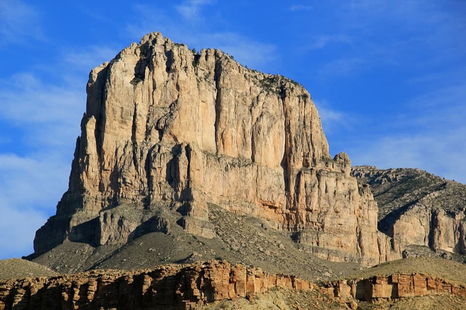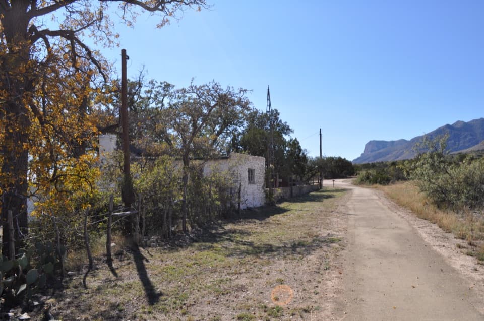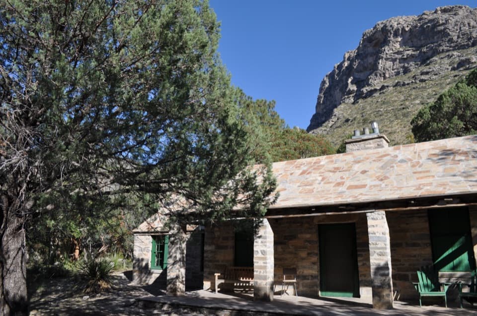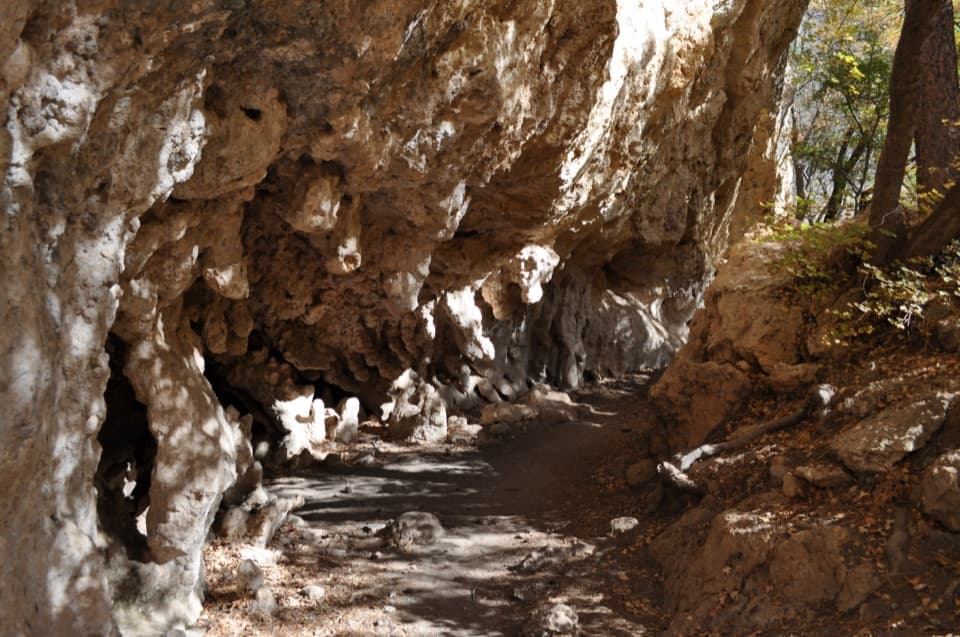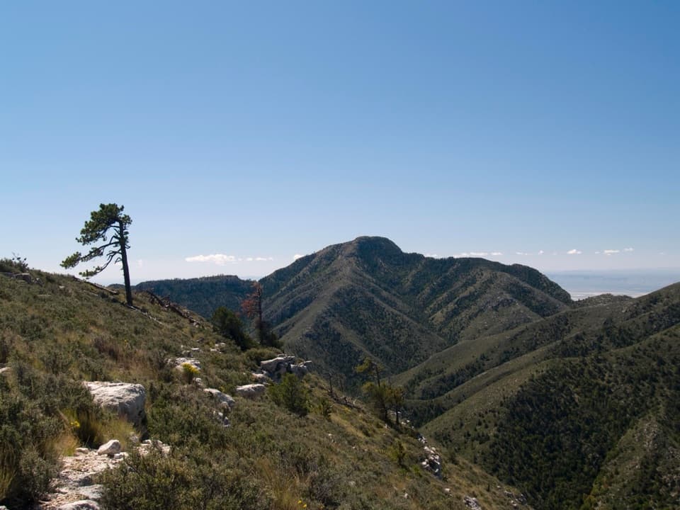
Guadalupe Peak in Guadalupe Mountains National Park

#1 of 18 sights in Guadalupe Mountains

Sight · Guadalupe Mountains National Park

Guadalupe Peak

A steep, rocky hike reaches Texas' highest natural point.

Photo: National Park Service
Type
Sight
Nearest trail
1.9 mi
  • Scenic viewpoint

Hear the audio tour

Pine Springs: The Guadalupe Peak Climb

Overview

About Guadalupe Peak

Why stop

  • Texas' highest natural point with sweeping mountain and desert views
  • A striking transition from high desert to pine forest

Heads up

  • A strenuous, rocky 8.4-mile round trip with about 3,000 feet of climbing
  • Heat, storms and strong summit winds can narrow the comfortable hiking window

Map

Where it is

Loading the Guadalupe Mountains map
Full map
SightGuadalupe Peak31.89147, -104.86081
Keep this map with you offline in the Parkwolf app

Plan your stop

Before you go

1 active Guadalupe Mountains alert

  • CautionDevil’s Hall wash hazardous when wetDevil’s Hall is a strenuous hike; do not enter the wash when it is wet or water is present. - The wash requires rock scrambling, and its loose gravel and rocks may be unstable.Official details

Guadalupe Mountains alerts
A park ranger sits on a dash-mounted phone, talking, as Parkwolf’s Tour Guide plays “Army Cutworm Moths: A Grizzly Bear Buffet” on Grand Loop Road below Dunraven Pass in Yellowstone
Parkwolf Tour GuideThe highest, rockiest slopes around here are a summer buffet for grizzly bears.

Guadalupe Mountains Tour Guide

Your drive to Guadalupe Peak, narrated.

Parkwolf is a GPS audio tour guide for Guadalupe Mountains National Park. As you drive, it chimes in with what’s ahead: hidden gems, upcoming stops, history, geology, and wildlife, right through your car’s speakers.

Recorded for this place

Pine Springs: The Guadalupe Peak Climb
0:00 / 0:24
“You're nearing Pine Springs Trailhead, where the climb to Guadalupe Peak begins.”

Plays as you drive up to Guadalupe Peak in the Parkwolf Guadalupe Mountains Tour Guide.

More stories near here in the app

  • Pine Springs Visitor Center and the Pinery
  • Why an Airline Marked the Summit
  • Why Vultures Circle
  • El Capitan Viewpoint: A Reef Above the Road
  • 22 audio storiesacross Guadalupe Mountains’s roads, triggered by GPS as you drive
  • Wildlife heatmapsfor Aoudad, Mule Deer, Wild Turkey, and 13 more
  • Works offlinemaps, 32 trails, 34 places, and audio download before you lose signal
  • CarPlay readysimple controls built for the drive
★★★★★
“Fantastic app with many points of information… It’s great to just turn on while you’re driving and it gives you an audio tour of the national Park. We love it!!!!”
JMJamesApp Store review
Download Parkwolf on the App StoreGet Parkwolf on Google Play

4.7 from 8,600+ ratings

Guide

More about Guadalupe Peak

Set aside a full dayGuadalupe Peak is the highest natural point in Texas, an 8,751-foot summit in Guadalupe…

Guadalupe Peak is the highest natural point in Texas, an 8,751-foot summit in Guadalupe Mountains National Park. The standard route starts at Pine Springs and climbs about 3,000 feet over 8.4 miles round trip. Plan on 6 to 8 hours. This is a strenuous, rocky hike to choose when the climb itself is part of the day, not a quick viewpoint stop.

Give yourself a weather and water marginThe Pine Springs Trailhead is about half a mile from the visitor center.

The Pine Springs Trailhead is about half a mile from the visitor center. Parking can fill early on weekends, with overflow at the visitor center. Start early in summer to get ahead of the heat and afternoon thunderstorms. Winter winds at the summit can exceed 40 mph, and are typically about 10 mph stronger than at Pine Springs. Pack lunch and water before leaving; carry at least a gallon per person for the day and turn back when half is gone. The route is listed as open year-round and does not require a reservation, though the park charges an entrance fee. Dogs are not allowed on trails, except trained service animals.

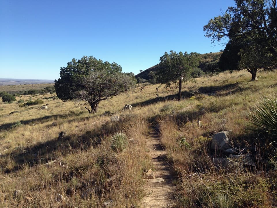
The landscape changes as you climbThe steepest switchbacks come in the first 1.5 miles.

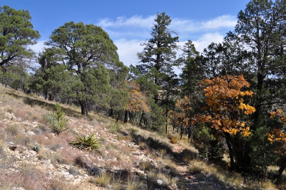
The steepest switchbacks come in the first 1.5 miles. After the trail passes a cliff and rounds onto a cooler, north-facing slope, pinyon pine, Southwestern white pine and Douglas-fir replace much of the high desert scrub. That shift from dry, open slope to mountain forest is one of the hike's best surprises.

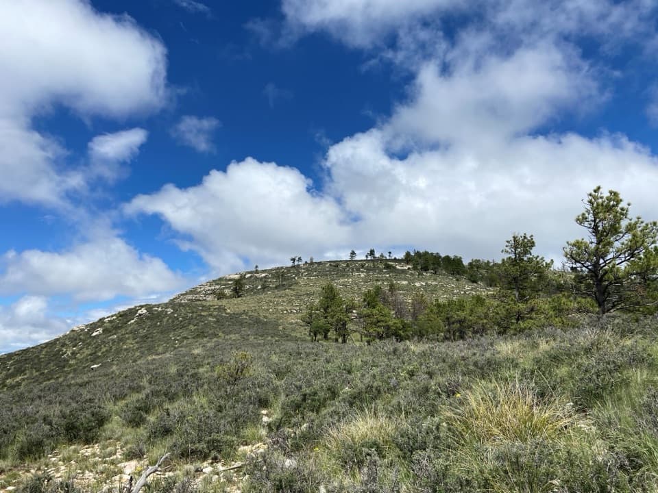
Keep going past the false summitAt about mile 3, the first crest is a false summit, with more than a mile still to go.

At about mile 3, the first crest is a false summit, with more than a mile still to go. The trail crosses a wooden bridge before the final climb. El Capitan comes into view to the south. The route is rocky underfoot, so trekking poles can help, especially on the descent.

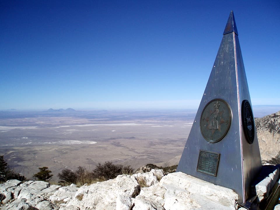
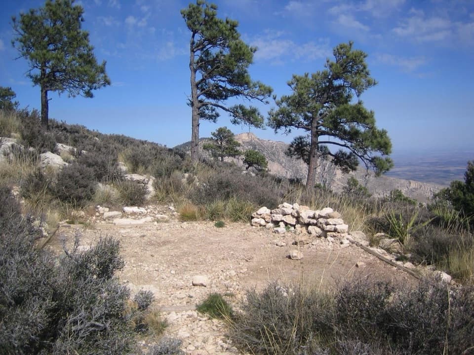
Let the marker frame the viewA stainless-steel pyramid marks the summit.

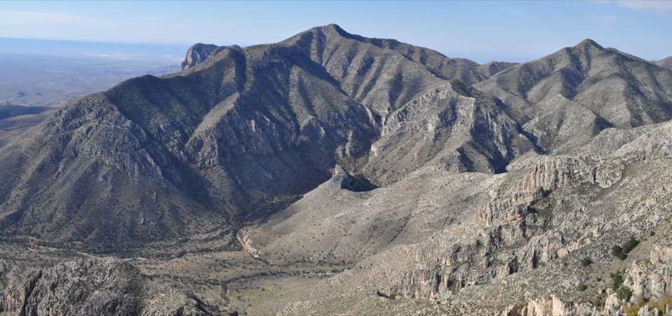
A stainless-steel pyramid marks the summit. From here, the park's ridges and desert open out in every direction, with El Capitan to the south on a clear day. For a summit photo, include the pyramid with pale summit rock and the open desert behind it; that gives the marker a sense of place. The view is the payoff, but reaching it takes the full hike.

A pyramid with a mail-route storyAmerican Airlines placed the summit pyramid in 1958 to mark the hundredth anniversary of the…

American Airlines placed the summit pyramid in 1958 to mark the hundredth anniversary of the Butterfield Overland Mail. The stagecoach route began carrying mail and passengers in 1858 and passed south of the mountain. The summit marker ties this remote high point to a much older travel corridor through the region.

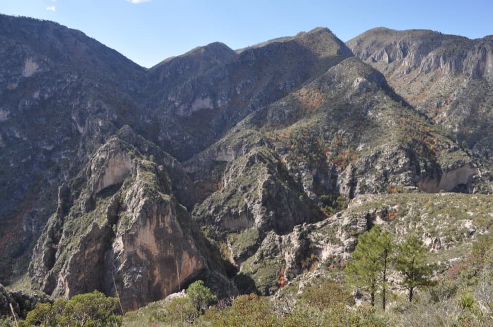
The mountains expose an ancient reefThe Guadalupe Mountains reveal the Capitan Reef, a limestone reef built in a Permian sea about…

The Guadalupe Mountains reveal the Capitan Reef, a limestone reef built in a Permian sea about 275 to 277 million years ago. Sediments and evaporites later buried it; tectonic uplift, faulting and erosion brought the reef back to the surface. The pale rock underfoot is part of that much older landscape.

Wildlife

Wildlife in Guadalupe Mountains

All Guadalupe Mountains wildlife maps

Sighting maps show where each species has been reported across Guadalupe Mountains. Wildlife moves, so no sighting is guaranteed.

Keep exploring

Near Guadalupe Peak

See it all on the map

Trails nearby

More stops nearby

Parkwolf’s Guadalupe Mountains ranking

Top sights in Guadalupe Mountains

All 34 places
  1. 2Salt Basin DunesSight
  2. 3El Capitan ViewpointSight
  3. 4Frijole Ranch MuseumSight
  4. 5Pratt CabinSight
  5. 6The GrottoSight
  6. 7Devil's HallSight

Take Parkwolf to Guadalupe Mountains.

The audio tour guide for the drive, plus offline maps, trails, and wildlife heatmaps for when the signal drops.

4.7 from 8,600+ ratings

Download Parkwolf on the App StoreGet Parkwolf on Google Play