Overview
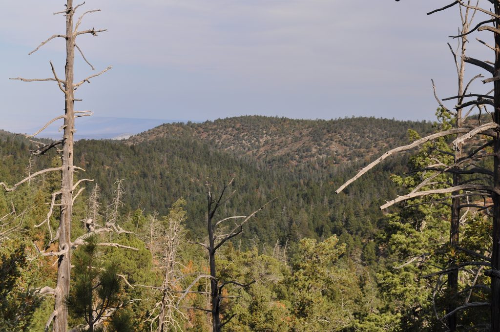
The Bowl is the park’s high-country payoff: a quiet, grassy depression ringed by pine–oak forest that feels a world away from the desert you just climbed. It’s less about dramatic rim-top vistas and more about cool air, birdsong, and the occasional wildlife sighting in a snag-dotted meadow. Most hikers tag the panoramic spur to Hunter Peak and then savor the shaded traverse before dropping back down.
Route Options
- Classic long loop (about 12.65 miles, ~3,100 ft gain): Start at Pine Springs on the Tejas Trail, climb steadily into the high country, cut across via Juniper into The Bowl, take the short Hunter Peak spur, then descend steep Bear Canyon and return via the Frijole Trail. It’s a stout day or a comfortable overnighter with a backcountry camp.
- Shorter, steeper loop (about 9.1 miles, ~3,000 ft gain): From the Frijole area, grind up Bear Canyon to reach The Bowl, loop past the Hunter Peak spur, then descend to close the loop. Expect rocky footing and a serious workout.
What You’ll See
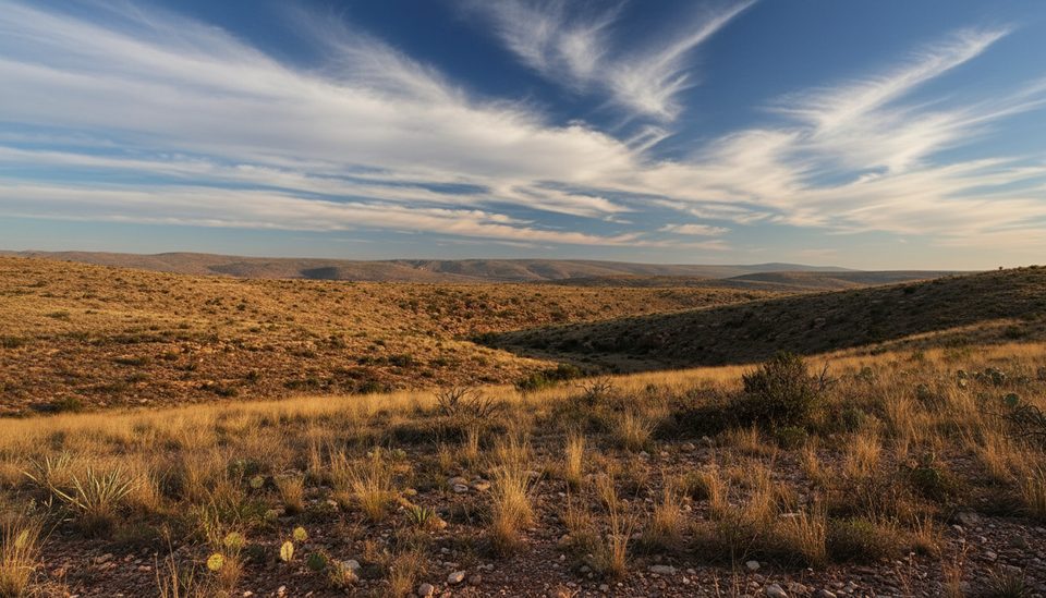
- A dramatic desert-to-forest transition: agaves and cacti give way to pines, oaks, and a breezy meadow inside The Bowl.
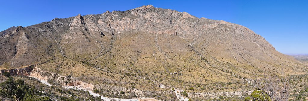
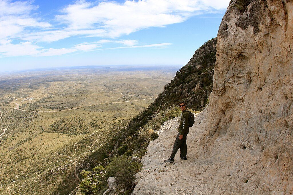
- Hunter Peak views: a quick side trip delivers big panoramas of Pine Valley and the western sweep of Texas, plus perspective on the ancient reef that built these mountains.
- Wildlife: keep an eye out for deer and even aoudad on open hillsides. Give animals ample space.
Trail Character and Difficulty
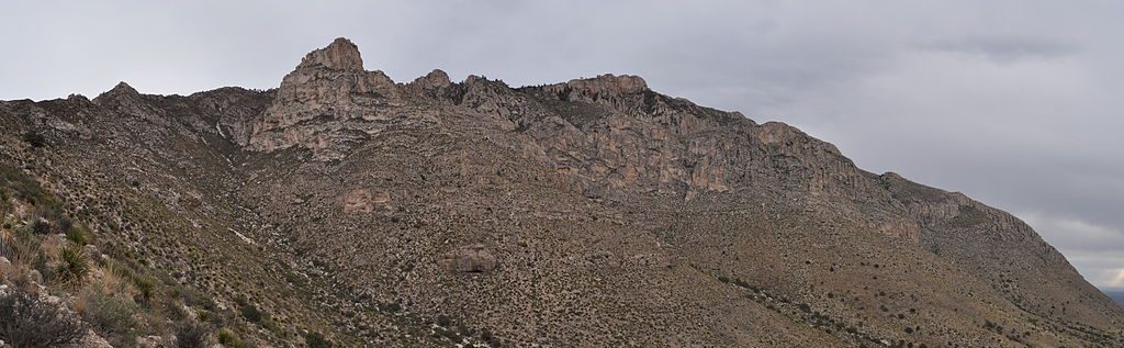
This is a challenging outing: long mileage, sustained elevation gain, and rugged limestone underfoot. Bear Canyon is notably steep, narrowing into a rocky slot in places with loose, pea-sized gravel—trekking poles help, especially on the descent. The first several miles from Pine Springs are mostly uphill with little to no shade.
Logistics, Water, and Permits
- Start: Pine Springs (Tejas) or Frijole trailheads. Restrooms and potable water are available at Pine Springs before you begin; there are none on the trail or in The Bowl. Use facilities beforehand and pack out TP.
- Water: There are no natural water sources in the high country—carry all drinking and cooking water. This is the main limiter for overnight trips.
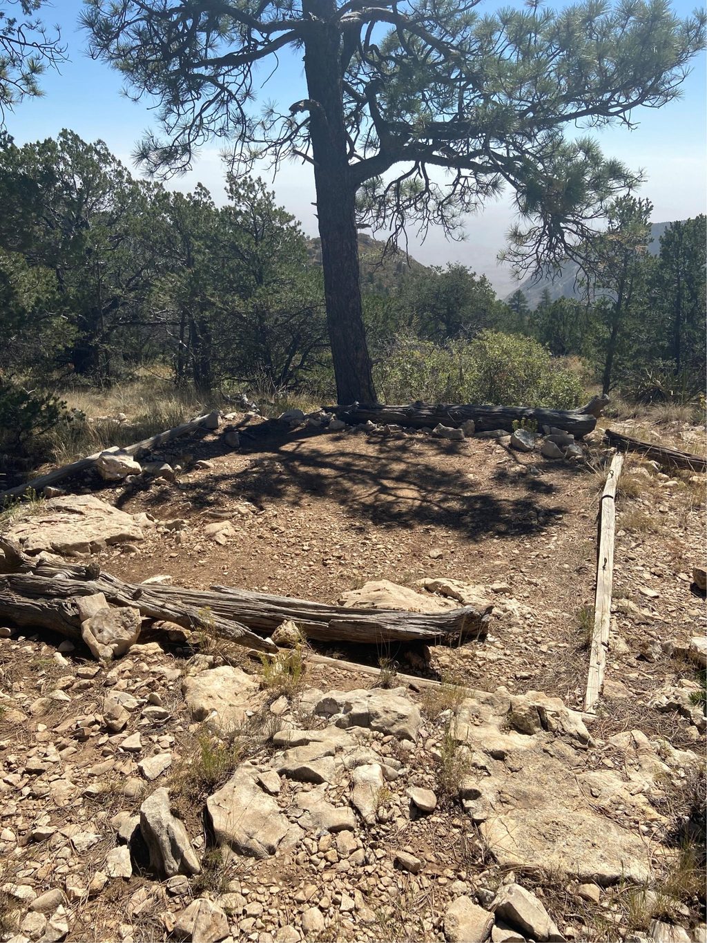
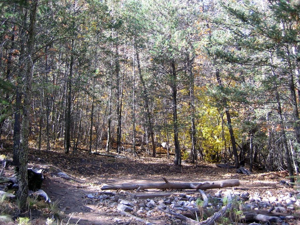
- Camping: Tejas Campground sits about 5.9 miles from Pine Springs and has six individual sites, often more sheltered than Pine Top.
- Permits: Day hikes require no permit. Overnight backpacking requires a free backcountry permit and sound planning (share your itinerary, carry multiple light sources, and avoid off-trail travel unless you have an experienced leader).
Best Time to Visit
Start early in warm months to climb the exposed lower trails before the heat. Afternoons can bring fast-building thunderstorms and strong winds up high—have layers and be ready to wait weather out. Cooler seasons are pleasant in the high country; summer is doable with an alpine start and plenty of water.
Tips
- Do the quick Hunter Peak spur from The Bowl—best views of the day for minimal effort.
- Bring trekking poles; they’re clutch on the loose, steep grades in Bear Canyon.
- Tank up and use the restroom at Pine Springs; there’s no water or facilities once you start.
- For an overnight, aim for Tejas Campground if you want a quieter, more sheltered night.
- In summer, be moving by early morning; carry 3–4+ liters per person and electrolytes.