Pros & cons
PROS
- Deep shade and strong wind protection in a forested valley
- Centrally located between Pine Springs and Dog Canyon
CONS
- No water; you must carry everything
- No toilets; all waste must be packed out
Overview
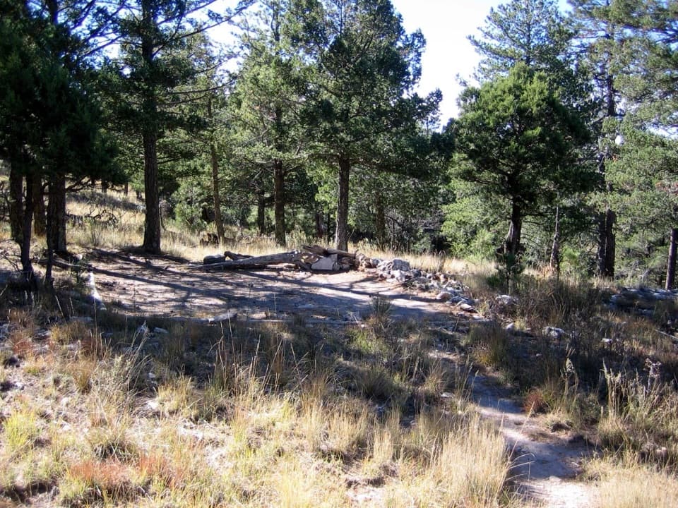
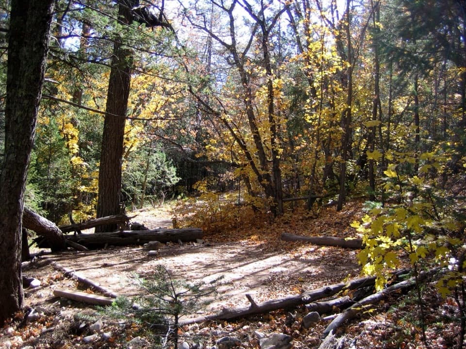
If you want a true backcountry feel without perching on a windy ridge, Tejas Wilderness Campground is the sleeper pick. It’s a primitive, tent‑only spot tucked into a forested drainage that blocks the Guad’s infamous gusts. Expect quiet, deep shade, and colder nights than surrounding slopes.
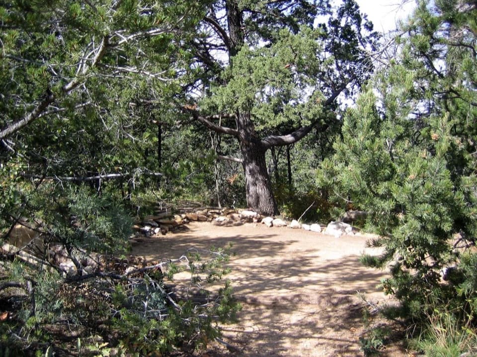
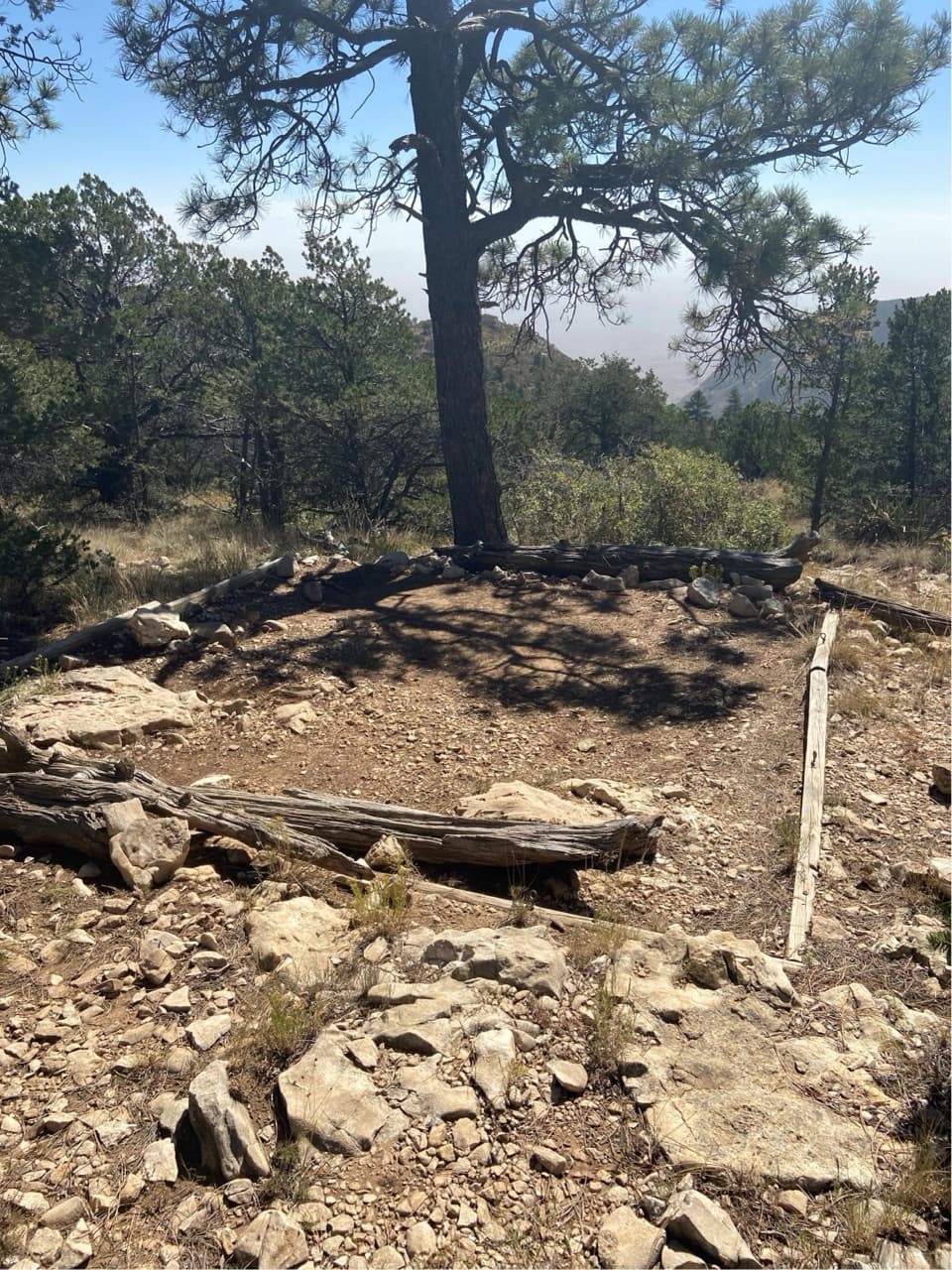
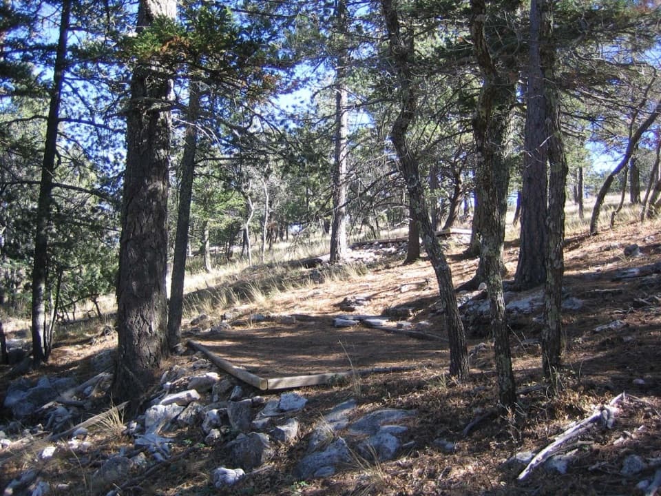
- Five designated tent sites on hardened pads
- Primitive, hike‑in only; no RVs or car access
- No water, no toilets, no cell service
Getting There
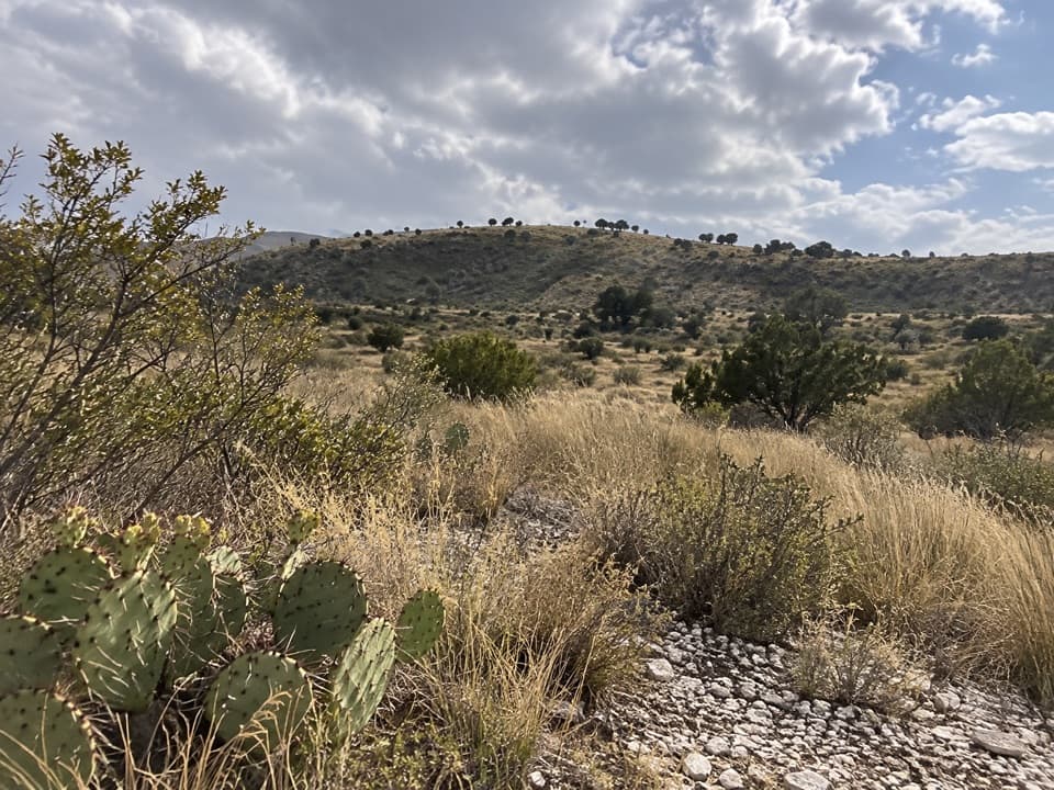
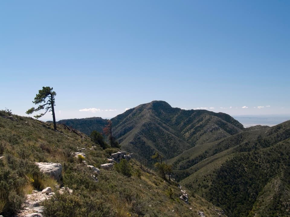
Reach it from either direction on the Tejas Trail: about 5.5 miles from Pine Springs Trailhead or 6.2 miles from Dog Canyon. The south approach climbs steadily from desert into high-country forest; navigation is straightforward with some rocky tread and switchbacks. North of the Bowl/Bush Mountain junction the trail narrows and can be brushy with dry-wash crossings.
What It’s Like at Camp
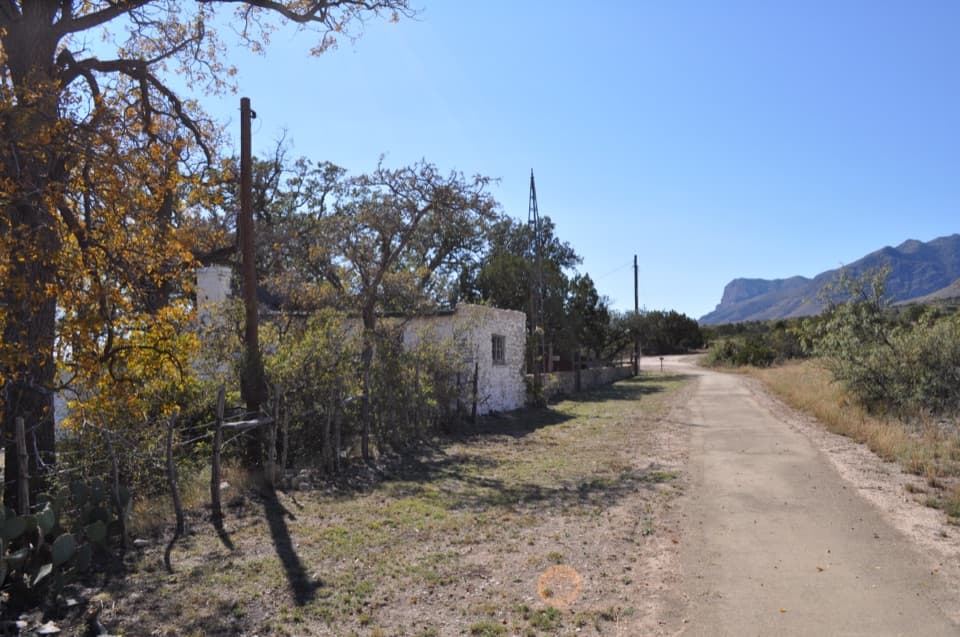
The sites sit in dense trees with limited views but excellent shelter from wind and passing storms. Shade is generous in morning and late afternoon, and the valley setting runs colder after sunset—great in summer, bitey in shoulder seasons. You’ll see an old ranch-era water tank nearby (not a potable source).
Permits and Rules You Can’t Ignore
A Wilderness Use Permit is required and is issued in person at Pine Springs Visitor Center (arrive by mid‑afternoon). Fires are prohibited—use containerized fuel stoves only. Camp on the designated pads. No hammocks or slacklines. No pets on trails or in the backcountry. All overnight users must pack out human waste with approved toilet bags; rangers will check that you have them when permitting.
Water and Safety
There is no reliable water anywhere near camp—carry everything you need. A solid baseline is 3.5+ liters per person for the approach, camp, and cooking, plus electrolytes. This corridor can see high winds, summer heat, and occasional winter ice up high; bring layers. There’s no cell service, so pair a paper topo with a GPS app or communicator.
Wildlife Notes
Backcountry food storage matters here. Sign of black bear has been observed along the northern Tejas corridor—use proper storage and follow Leave No Trace.
When to Go
- Best: Late spring and fall for milder temps and long, comfy nights.
- Summer: Hot on the climb but this valley camp shines thanks to wind protection and shade.
- Winter/shoulder seasons: Expect colder overnights here than on exposed sites; pack extra insulation.
Start early from Pine Springs on busy weekends—parking there can fill quickly.
Trip Ideas
Tejas is a handy midpoint for north–south traverses or loops tying into the Bowl, Bush Mountain, Juniper, or McKittrick Ridge. If you want views, savor them on the approach; camp itself trades vistas for shelter.
Where it is
31.9348, -104.8487Tips for Tejas Wilderness Campground
- 01Pick up your wilderness permit at Pine Springs Visitor Center before mid‑afternoon.
- 02Carry at least 3.5 liters per person plus electrolytes—there’s no water.
- 03Start early; the lower Tejas climb is exposed before you hit the forest.
- 04Bring a paper topo and a GPS app or communicator—there’s no cell service.
- 05Pack out all human waste with approved toilet bags; stoves only, no fires.
Amenities
Near Tejas Wilderness Campground
All places →All trails →
1.1 mi awayPine Top Wilderness CampgroundHike-in forest camp near the Bowl with tent pads and big viewsCampground · Scenic Viewpoint
1.2 mi awayMescalero Wilderness CampgroundQuiet backcountry base camp on the Tejas Trail under pinesCampground
1.3 mi awayThe BowlQuiet high-country meadow ringed by pines, reached by steep climbs
1.8 mi awayBush Mountain Wilderness CampgroundHike-in ridge camp with big western sunsets and solitudeCampground · Scenic Viewpoint
2.9 mi awayGuadalupe Ridge TrailRemote, 100-mile desert-to-skyline traverse ending on Guadalupe PeakChallenging · 100 mi · 144 hr
2.9 mi awayGuadalupe Peak TrailStrenuous climb to the Top of Texas with sweeping desert viewsChallenging · 8.4 mi · 7 hr
2.9 mi awayHunter Peak via Bear Canyon and Tejas LoopSteep climb, huge views, and cool pine forests in one loopChallenging · 8.7 mi · 7 hr
2.9 mi awayBush Mountain TrailRemote ridge climb to Texas's second-highest summit with big viewsChallenging · 13.2 mi · 7.5 hr