Hunter Peak

Big-sky summit views via a steep loop through The Bowl
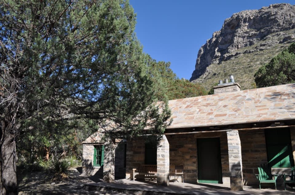
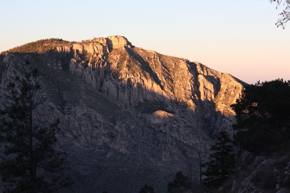
Hunter Peak, Guadalupe Mountains National Park
InsideGuadalupe Mountains National Park

Overview

At 8,368 feet, Hunter Peak is a big, rewarding day in the high country and a fantastic alternative to the park’s most famous summit. Expect fewer people, sweeping views, and a classic Guadalupe climb that earns every vista.

Route & Distance

Most hikers tackle Hunter as a counterclockwise loop: up Bear Canyon, across The Bowl to tag the summit, then down the Tejas Trail. It’s roughly 8.4 miles with about 2,650–2,700 feet of gain and typically takes 5–7 hours. The Bear Canyon climb is the crux—steep, sun-exposed switchbacks with some loose rock. Tejas makes for a more forgiving descent.

What You’ll See

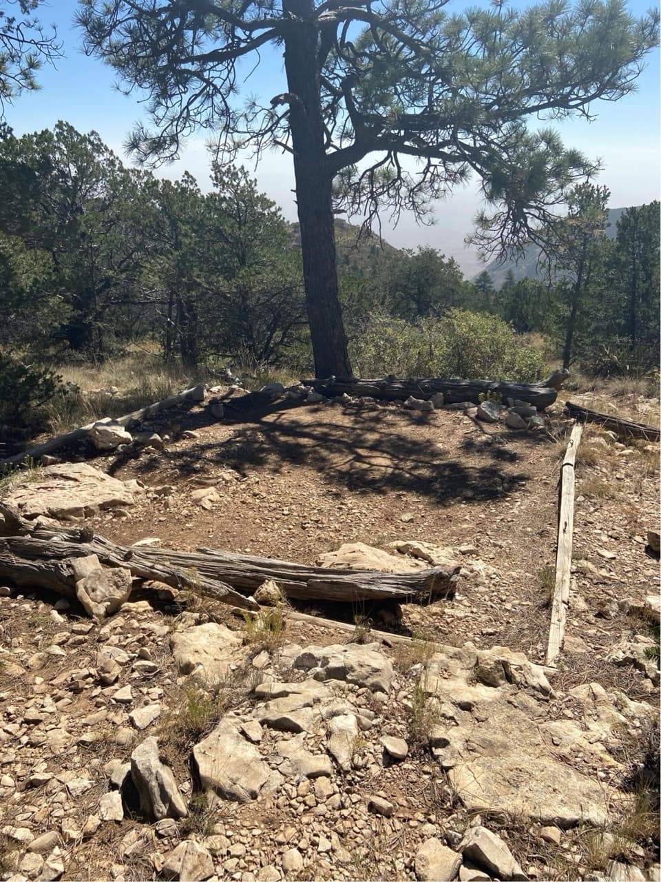
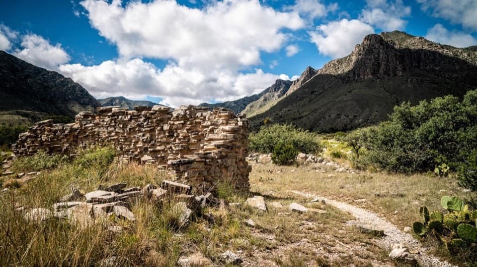
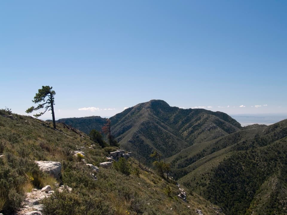
This loop is all about contrasts: desert foothills giving way to cooler, sheltered forest in The Bowl, then wide-open ridgelines with big views across the Guadalupe front. You’ll feel like you’re moving through “mini-climates” as you climb. Many hikers find the scenery here rivals, and sometimes surpasses, the park’s busier high point.

Difficulty & Conditions

This is a strenuous hike in a rugged, high-desert mountain environment. There’s no reliable water on the route, little shade on the climb, and winds can be serious on the summit and ridges. Start early, bring more water and electrolytes than you think you’ll need, and consider trekking poles for the steep, loose sections.

Logistics

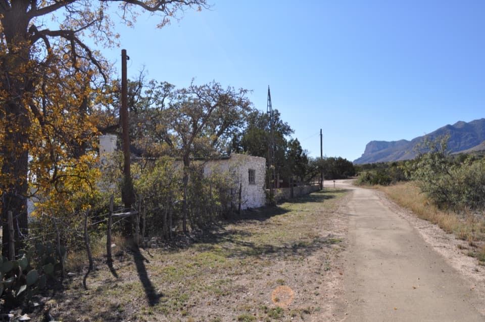
The loop is accessed from the Pine Springs area, the park’s main hiking hub. Trails are well signed, but you should still carry a real map and plan conservatively—cell service is limited. Restrooms and water are typically at the Visitor Center during open hours; after-hours facilities can be hit-or-miss, so plan ahead.

Wildlife

You’re in good wildlife country. Park visitors report sightings like mule deer along high-country forests, and in warmer months you may encounter tarantulas or even tarantula hawks on the move—give all wildlife space and respect.

Best Time to Visit

Spring and fall bring the most forgiving temperatures for a big climb like this. Start at or before sunrise to beat heat and wind and to put the steep Bear Canyon ascent in the cool of the morning. Weekdays see lighter traffic. Clear early light plays well with the expansive ridgeline views; afternoons can be hot, windy, and harsh for photos.

Safety & Prep

  • No water on trail—carry ample supplies.
  • Expect strong winds on exposed sections; pack layers and secure loose items.
  • Poles help on the steep, loose footing.
  • Check current conditions at Pine Springs and carry a topo map; self-reliance is the rule here.

Pros

  • Panoramic summit views with lighter crowds than the park’s marquee peak
  • Strenuous counterclockwise loop offers varied habitats from desert to high-country forest

Cons

  • Steep, exposed switchbacks with loose rock on the Bear Canyon ascent
  • No water on route and frequent strong winds on ridges and summit

Tips

  • Hike counterclockwise: up Bear Canyon, down Tejas for a steadier descent.
  • There’s no water on route—carry extra and include electrolytes.
  • Expect strong winds on the summit and ridges; bring layers and secure your hat.
  • Poles are invaluable for the steep, loose Bear Canyon switchbacks.
  • Check conditions at Pine Springs and carry a real topo map; cell is spotty.
The Parkwolf tour guide sitting on a phone mounted in a car

Parkwolf Tour Guide

Like a tour guide in your car.

Save the places you found around Guadalupe Mountains, then let Parkwolf guide the drive between them.Download Parkwolf on the App Store