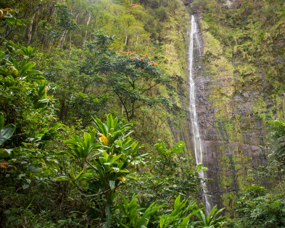
Waimoku Falls in Haleakalā National Park

#2 of 19 sights in Haleakalā

Sight · Haleakalā National Park

Waimoku Falls

Bamboo, bridges and banyan trees lead to a waterfall payoff.

Photo: Wikimedia Commons
Type
Sight
Nearest trail
1.4 mi
Audio stories
4 nearby
  • Trailhead
  • Parking
  • Scenic viewpoint

Hear the audio tour

Pīpīwai Trail and Waimoku Falls

Overview

About Waimoku Falls

Why stop

  • Bamboo forest and waterfall scenery along the route.

Heads up

  • A four-mile uphill out-and-back; the falls’ base is off-limits.
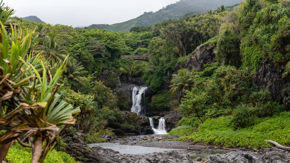
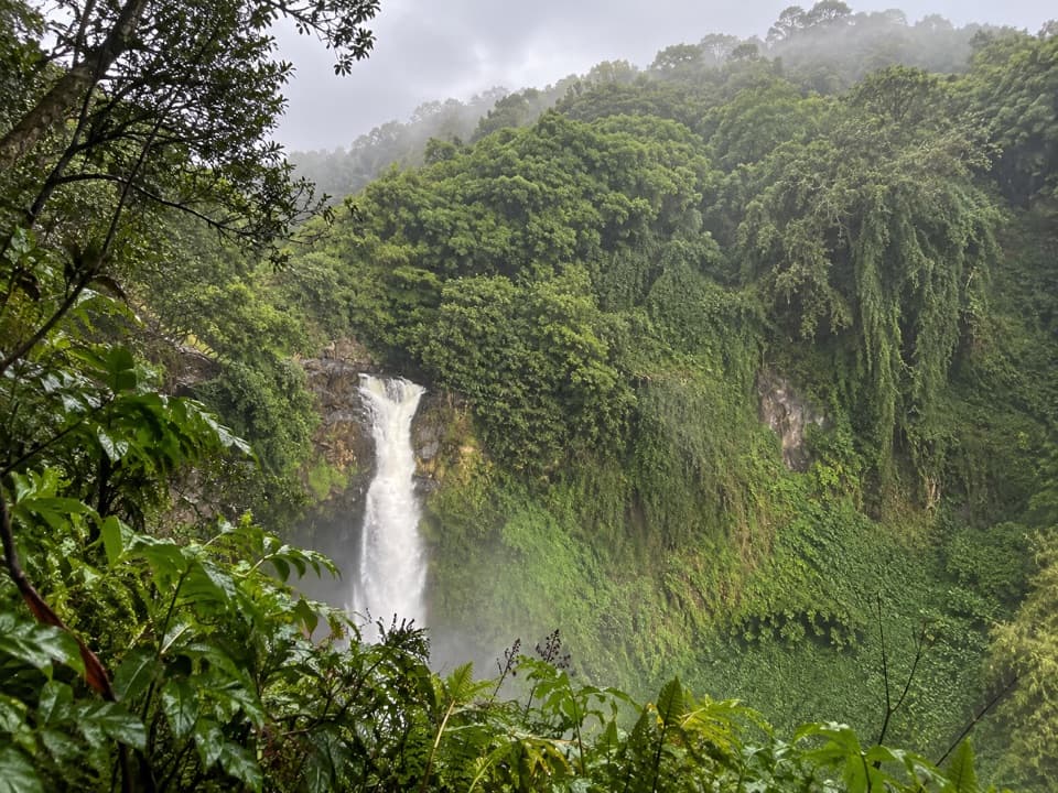
Waimoku Falls is a narrow waterfall spilling down a dark, forested cliff in the Kīpahulu District. It sits at the end of the Pīpīwai Trail, so this is a hike with a waterfall finale, not a quick pull-off. From the trail start near the Kīpahulu Visitor Center, the signed viewing area is two miles in: four miles round trip with about 800 feet of elevation gain. Choose it if you want a varied rainforest walk as well as a waterfall; skip it if you only have time for a short view.
Parkwolf’s verdictThe falls are the payoff, not a roadside stop

Map

Where it is

Loading the Haleakalā map
Full map
SightWaimoku Falls20.67933, -156.05687
Keep this map with you offline in the Parkwolf app

Plan your stop

Before you go

3 active Haleakalā alerts

  • CautionCrater Road lane closures near HaleakalāExpect single-lane closures on Crater Road (Route 378) between mile markers 0 and 10, on the approach to Haleakalā National Park, Monday, October 26–Friday, October 30.Official details
  • ClosureEntry and swimming prohibited at ʻOheʻo PoolsDo not enter or swim in the Pools of ʻOheʻo; view them from the Kūloa Point Trail.Official details

See all 3 alerts
A park ranger sits on a dash-mounted phone, talking, as Parkwolf’s Tour Guide plays “Army Cutworm Moths: A Grizzly Bear Buffet” on Grand Loop Road below Dunraven Pass in Yellowstone
Parkwolf Tour GuideThe highest, rockiest slopes around here are a summer buffet for grizzly bears.

Haleakalā Tour Guide

Your drive to Waimoku Falls, narrated.

Parkwolf is a GPS audio tour guide for Haleakalā National Park. As you drive, it chimes in with what’s ahead: hidden gems, upcoming stops, history, geology, and wildlife, right through your car’s speakers.

Recorded for this place

Pīpīwai Trail and Waimoku Falls
0:00 / 0:30
“You're coming up on the access for Pīpīwai Trail and Waimoku Falls. The falls are a four-mile round-trip hike from Kīpahulu Visitor Center, taking about three hours on rocky, sometimes muddy ground.”

Plays as you drive up to Waimoku Falls in the Parkwolf Haleakalā Tour Guide.

More stories near here in the app

  • Pools of ʻOheʻo and Kūloa Point
  • Kīpahulu Campground
  • Kīpahulu's Working Gardens
  • 25 audio storiesacross Haleakalā’s roads, triggered by GPS as you drive
  • Wildlife heatmapsfor Hawaiian Goose, Hawaiian Short-eared Owl, Green Sea Turtle, and 12 more
  • Works offlinemaps, 17 trails, 32 places, and audio download before you lose signal
  • CarPlay readysimple controls built for the drive
★★★★★
“Fantastic app with many points of information… It’s great to just turn on while you’re driving and it gives you an audio tour of the national Park. We love it!!!!”
JMJamesApp Store review
Download Parkwolf on the App StoreGet Parkwolf on Google Play

4.7 from 8,600+ ratings

Guide

More about Waimoku Falls

The walk keeps changingAt about half a mile, an overlook gives you the first view of Makahiku Falls.

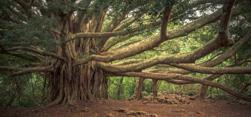
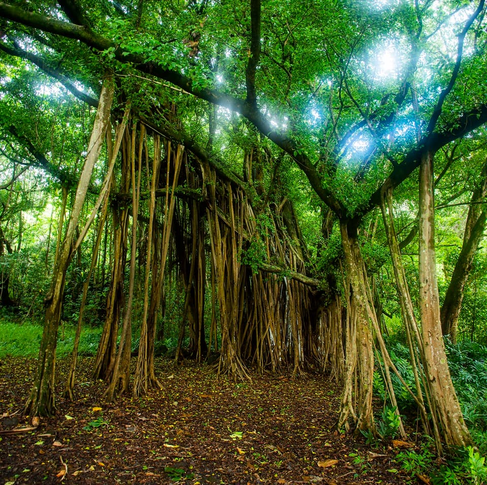
At about half a mile, an overlook gives you the first view of Makahiku Falls. Farther on, a broad banyan and streamside forest lead into bamboo around the one-mile mark. Boardwalks and footbridges carry you through the dense grove before the trail opens toward Waimoku. The changing scenery is a big part of the payoff, not just the last view.

Look into the streamsKīpahulu’s streams hold endemic gobies and other fish descended from marine ancestors.

Kīpahulu’s streams hold endemic gobies and other fish descended from marine ancestors. From the trail, you may also spot freshwater shrimp or a rock-climbing goby. Take a moment to look into the water as you walk, but stay on the path and out of the streams.

A living cultural landscapeKīpahulu has been inhabited by Native Hawaiians for hundreds of years and remains part of a…

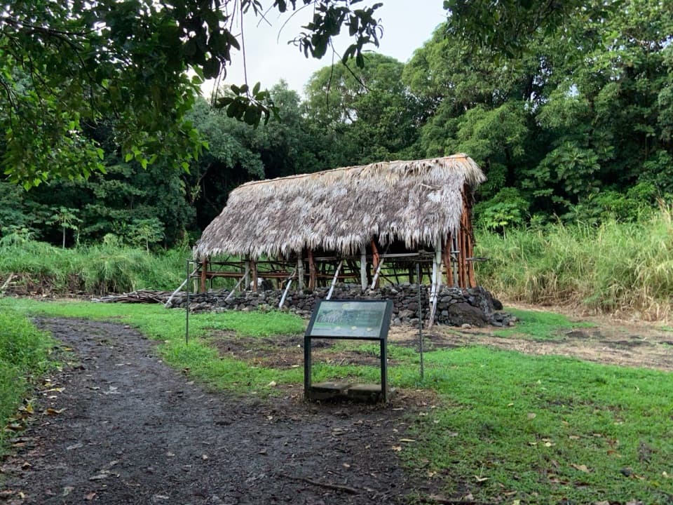
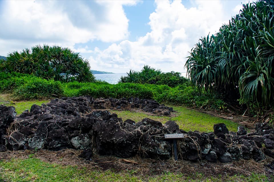
Kīpahulu has been inhabited by Native Hawaiians for hundreds of years and remains part of a living culture. The park protects intact ahupuaʻa, traditional land divisions that connect resources from the sea to the summit. Native Hawaiians have lived on and cared for Haleakalā for more than 1,000 years; this coast is more than a scenic backdrop.

Stay at the viewing areaThe falls are viewed from the trail’s signed endpoint.

The falls are viewed from the trail’s signed endpoint. Don’t cross the stream or leave the marked route to get closer: flash floods and sudden rockfalls can happen at any time, and entering or wading in streams is not recommended. For a photo, keep some of the dark cliff and rainforest around the falling water so the height and setting stay in the frame.

Get ready before the driveThe Kīpahulu District is about 12 miles past Hāna on Hāna Highway.

The Kīpahulu District is about 12 miles past Hāna on Hāna Highway. There’s no food or fuel for sale in the park, so fill the tank and bring a meal. Carry water, sunscreen and mosquito repellent, and wear sturdy shoes; the trail is moderately strenuous and the weather can be hot, humid and rainy.

Wildlife

Wildlife in Haleakalā

All Haleakalā wildlife maps

Sighting maps show where each species has been reported across Haleakalā. Wildlife moves, so no sighting is guaranteed.

Parkwolf’s Haleakalā ranking

Top sights in Haleakalā

All 32 places
  1. 1Puʻuʻulaʻula SummitSight
  2. 3Pools of ʻOheʻoSight
  3. 4Kalahaku OverlookSight
  4. 5Leleiwi OverlookSight
  5. 6Pīpīwai Bamboo ForestSight
  6. 7Pā Kaʻoao OverlookSight

Take Parkwolf to Haleakalā.

The audio tour guide for the drive, plus offline maps, trails, and wildlife heatmaps for when the signal drops.

4.7 from 8,600+ ratings

Download Parkwolf on the App StoreGet Parkwolf on Google Play