Parking
Park at Kīpahulu Visitor Center; follow the paved frontage path to the T-junction, then turn left for the trail.
#1 of 17 trails in Haleakalā
Haleakalā National Park, HI
Follow a stream to a banyan, bamboo, and two waterfalls.
Overview
Map & elevation
Plan your hike

The highest, rockiest slopes around here are a summer buffet for grizzly bears.
Haleakalā Tour Guide
Parkwolf is a GPS audio tour guide for Haleakalā National Park. As you drive, it chimes in with what’s ahead: hidden gems, upcoming stops, history, geology, and wildlife, right through your car’s speakers.
Recorded for this trailhead
Pīpīwai Trail and Waimoku Falls“You're coming up on the access for Pīpīwai Trail and Waimoku Falls. The falls are a four-mile round-trip hike from Kīpahulu Visitor Center, taking about three hours on rocky, sometimes muddy ground.”
Plays as you drive up to this trailhead in the Parkwolf Haleakalā Tour Guide.
More stories near here in the app
“Fantastic app with many points of information… It’s great to just turn on while you’re driving and it gives you an audio tour of the national Park. We love it!!!!”


Trail guide
Pīpīwai Trail is a forest out-and-back from Kīpahulu Visitor Center to the signed Waimoku Falls viewing area. It’s 4 miles round trip, with 800 feet of climbing; allow about three hours for the walk and stops. It’s the Kīpahulu District’s headline hike if you want a bamboo forest and a large waterfall in one outing. The grade comes in stretches, but there’s no flat finish: the return climbs the same uneven route. If four miles is too much, turn around at Makahiku Falls for a 1-mile round trip and still get a waterfall view.
From the visitor center frontage, follow the paved path to the T-junction and turn left. The actual trail quickly becomes an uneven track with exposed roots, rocks and stairs; it can be muddy, and there are steep bits in both directions. At about half a mile, a marked overlook opens across a deep green gulch to Makahiku Falls, which drops nearly 200 feet. You’re looking down from above, not walking to a pool at its base. This is the sensible turnaround if you want a short taste of the walk.
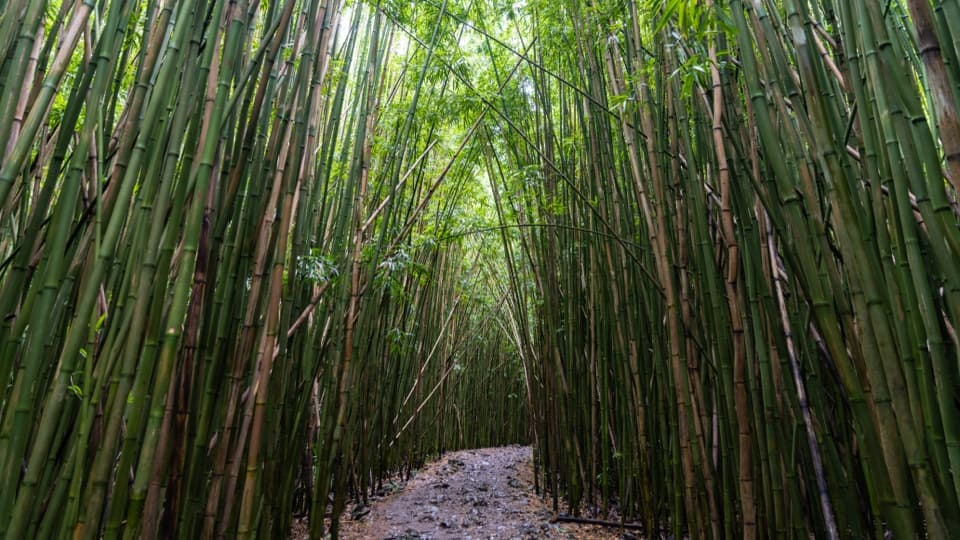
Past the overlook, the path keeps climbing through dense, humid forest, with the sound of running water nearby. A large banyan is one of the route’s memorable stops. Around a mile in, tall bamboo closes overhead. Raised boardwalks and footbridges carry the path across some muddy stretches, but they don’t make the whole hike smooth or level. When the wind moves through the grove, the leaves rattle and the hollow stalks knock and clack against one another; it’s a good place to pause and listen rather than rush through.
The bamboo here is ʻōhe. Polynesian voyagers brought bamboo, or ʻōhe, to Hawaiʻi and used it for practical things such as carrying water and making the nose flute called ʻōhe hanu ihu; later immigrants introduced other bamboo species. Kīpahulu itself has been inhabited by Native Hawaiians for hundreds of years. The trail passes through a living cultural landscape as well as a lush one, so stay on the marked route and leave the plants and stream banks alone.
The route continues roughly another mile beyond the bamboo to the marked Waimoku Falls viewing area. The payoff is a tall waterfall dropping beside a sheer, dark cliff, framed by dense green vegetation. Stop at the posted boundary: the valley above the trail terminus is closed, and there is no safe reason to push past the signs for a closer look. For a photo, keep some of the cliff and foreground foliage in the frame so the falls don’t become a thin white stripe. The stream is part of the scenery, not a place to wade; sudden floods and rockfalls are real hazards here. Local streams also support freshwater shrimp and the rock-climbing goby, an endemic fish adapted to moving through steep water.
Park at Kīpahulu Visitor Center and follow the paved frontage path to the trail start. The park charges an entrance fee, but no separate trail reservation is required. There’s no food, gas or other supply stop in the district, so sort that out before arriving; allow enough of your Road to Hāna day for the drive and the hike rather than trying to squeeze both in at the end. The district is hot, humid and rainy, so traction matters on the roots, rocks and bridges. Pets are prohibited on park trails.
Wildlife
 446 sightingsHawaiian GooseMost seen around 7 AMSighting map
 28 sightingsHawaiian Short-eared OwlMost seen around 6 AMSighting map
 22 sightingsGreen Sea TurtleMost seen around 11 AMSighting map
 648 sightingsʻIʻiwiMost seen around 8 AMSighting map
 363 sightingsʻApapaneMost seen around 9 AMSighting map
 209 sightingsHawaiʻi ʻAmakihiMost seen around 7 AMSighting map
Sighting maps show where each species has been reported across Haleakalā. Wildlife moves, so no sighting is guaranteed.
Keep exploring
 EasyKūloa Point Trail0.5 mi · 30 min · 0.1 mi awayHalf-mile loop for ʻOheʻo views and Kīpahulu’s history.
 EasyKahakai Trail0.3 mi · 20 min · 0.2 mi awayA short coastal path under hala trees, with ocean views.
 ChallengingKaupō Trail6.8 mi · 6.5 hr · 7.3 mi awayA steep descent from Palikū Cabin into Kaupō Gap.
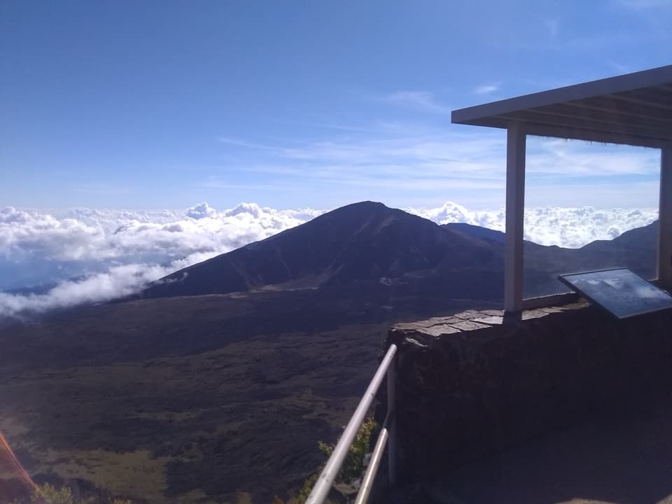 EasyLeleiwi Overlook Trail0.3 mi · 30 min · 13.2 mi awayA short uphill walk to one of Haleakalā’s crater views.
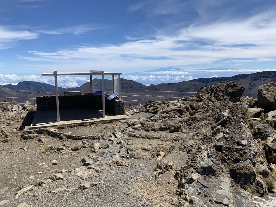 EasyKalahaku Overlook Trail0.1 mi · 30 min · 13.3 mi awayA short crater-rim walk to a historic shelter and huge views.
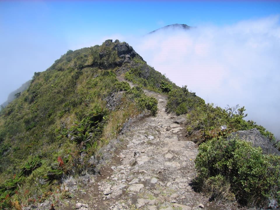 ModerateHalemauʻu Trail2.7 mi · 2.5 hr · 13.4 mi awayA short trail to a natural bridge at the crater rim.
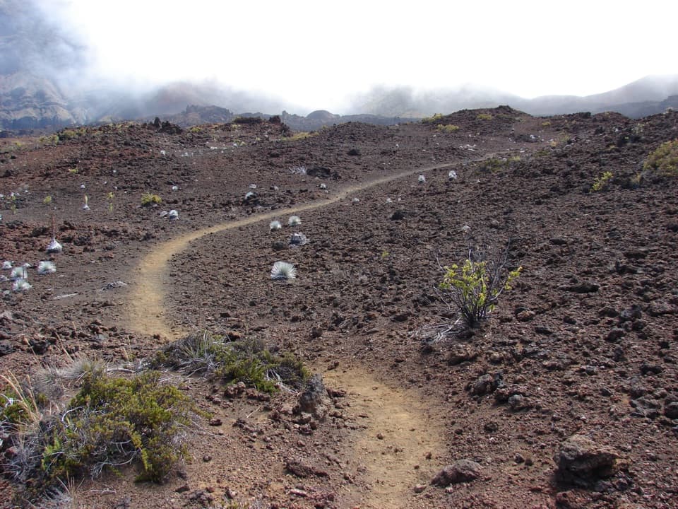 ChallengingSilversword Loop via Halemauʻu Trail10 mi · 8 hr · 13.4 mi awayA long crater descent to the silversword loop.
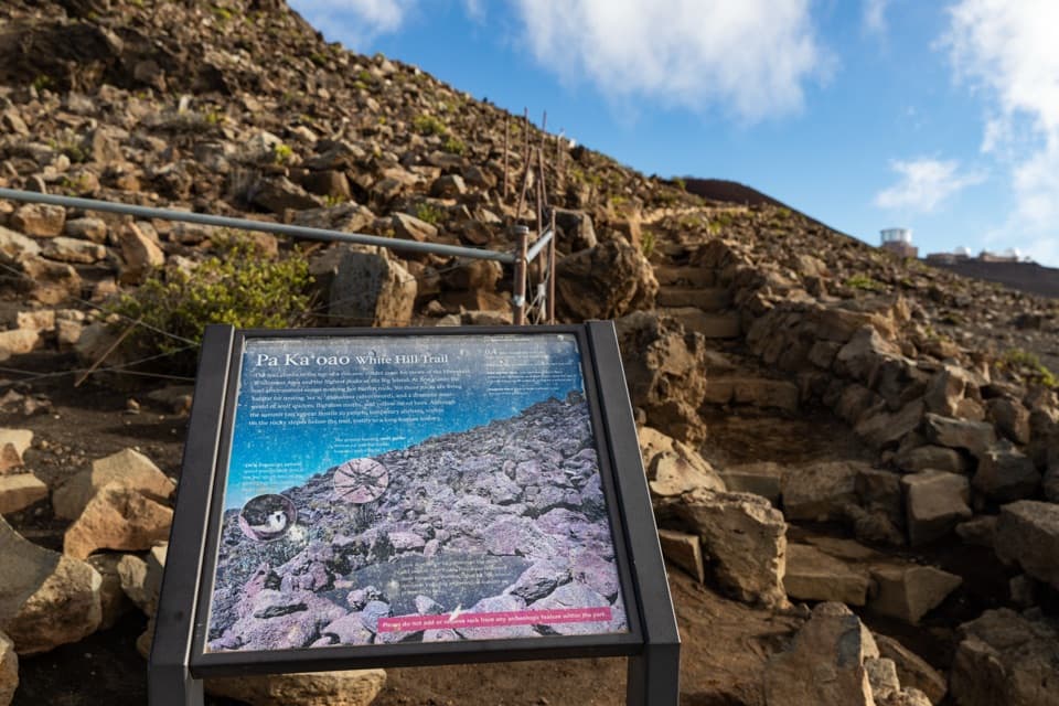 EasyPā Kaʻoao Trail0.4 mi · 36 min · 13.7 mi awayShort climb, crater views, and a hillside of old stone enclosures.
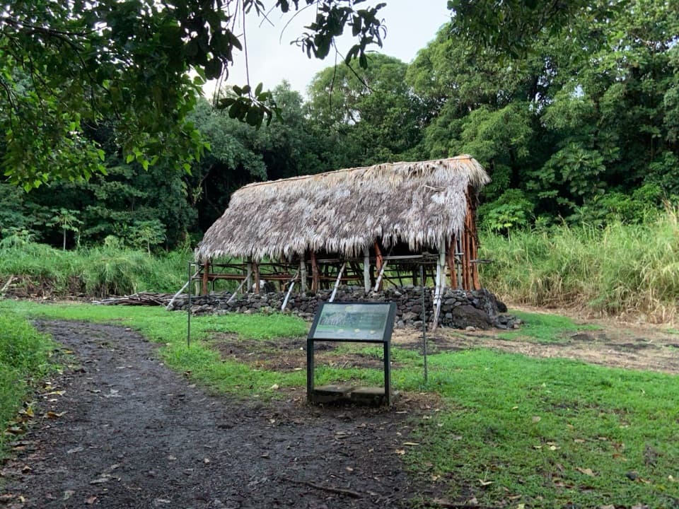 Sight · 0.1 mi awayHale HālāwaiStep inside a reconstructed Hawaiian meeting house at a trail fork.
 Visitor center · 0.1 mi awayKīpahulu Visitor CenterA carved waʻa and local history before the walks into Kīpahulu.
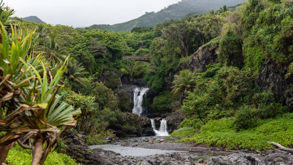
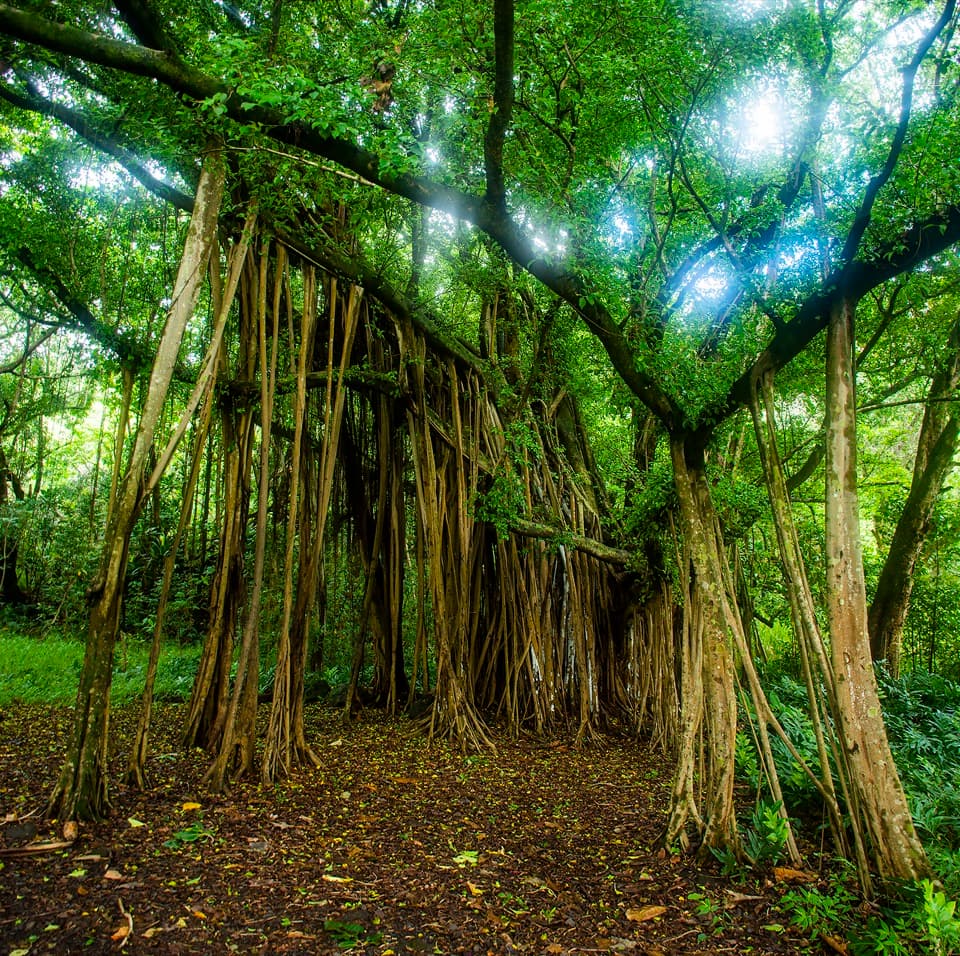 Sight · 0.1 mi awayKūloa Point Banyan TreeA forest of hanging roots on Kūloa Point’s short loop.Sight · 0.2 mi awayPools of ʻOheʻoCascades meet the Pacific here, but the pools are for looking.
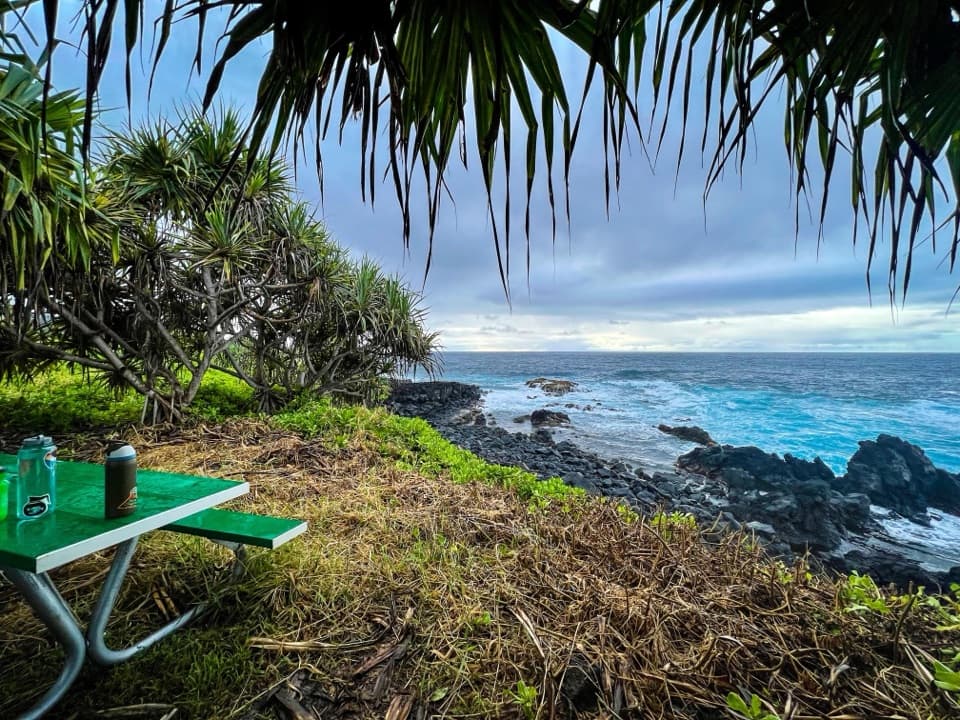 Campground · 0.2 mi awayKīpahulu CampgroundA coastal camp with ʻOheʻo Gulch a short walk away.
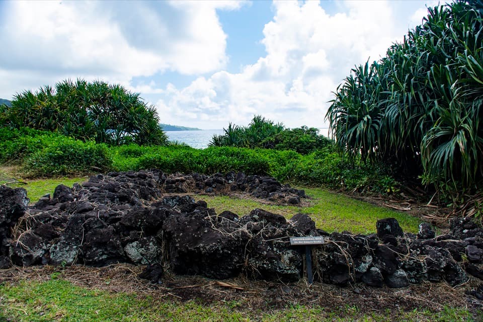 Sight · 0.2 mi awayHale NoaA small stone sleeping-house foundation on the Kīpahulu coast.
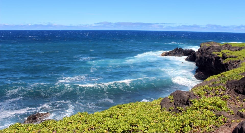 Sight · 0.3 mi awayKūloa PointA short cliff walk above where stream and surf meet.
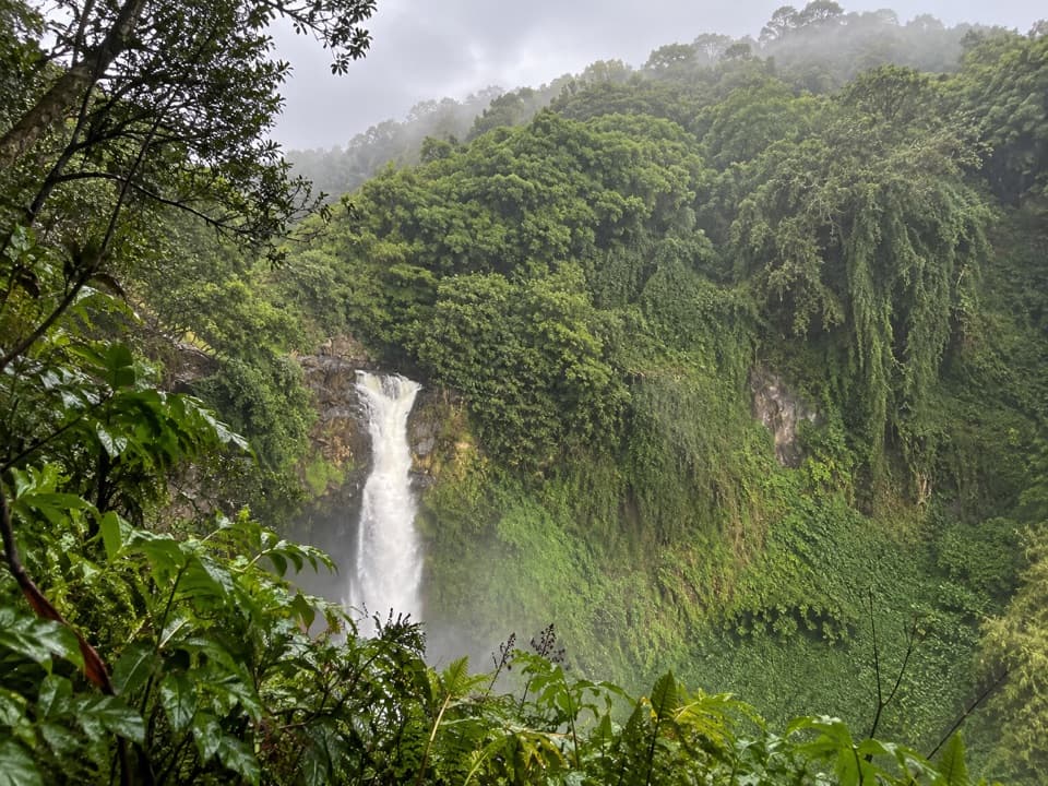 Sight · 0.3 mi awayMakahiku Falls OverlookA short Pīpīwai walk to a nearly 200-foot waterfall view.
Parkwolf’s Haleakalā ranking

The audio tour guide for the drive, plus offline maps, trails, and wildlife heatmaps for when the signal drops.