
Place · 0 mi away
Easy
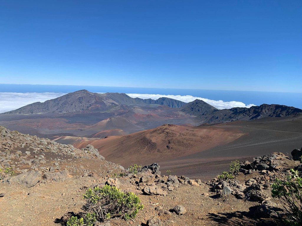
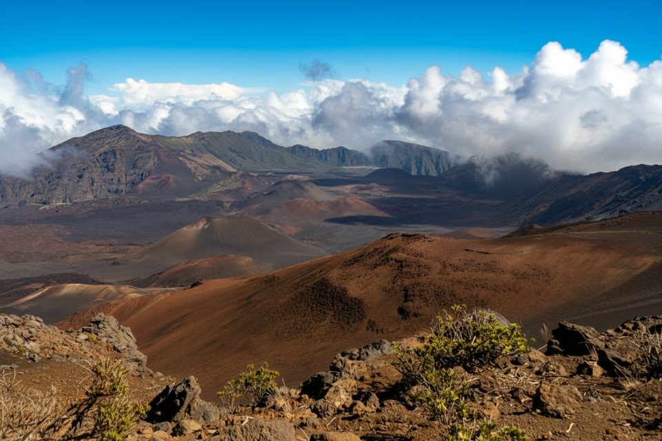
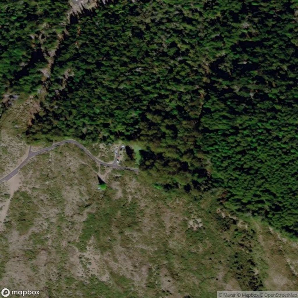
This is the short path to the absolute summit of Haleakalā—Puʻu ʻUlaʻula (Red Hill)—at 10,023 feet. From the summit parking area, a brief, well-marked stroll leads to a shelter and overlook with 360-degree views: the multicolored cinder cones of the great summit depression, the West Maui Mountains, and—on the clearest days—neighbor islands like Lānaʻi, Molokaʻi, and Hawaiʻi.
The walk itself is about as easy as hikes get, but the air is thin. Expect a short, mostly paved path with minimal gain that can still leave you winded at this elevation. It’s roughly 0.2 miles round-trip, out and back from the summit lot. Interpretive signs add context, and the small shelter at the top offers a break from the frequent wind.
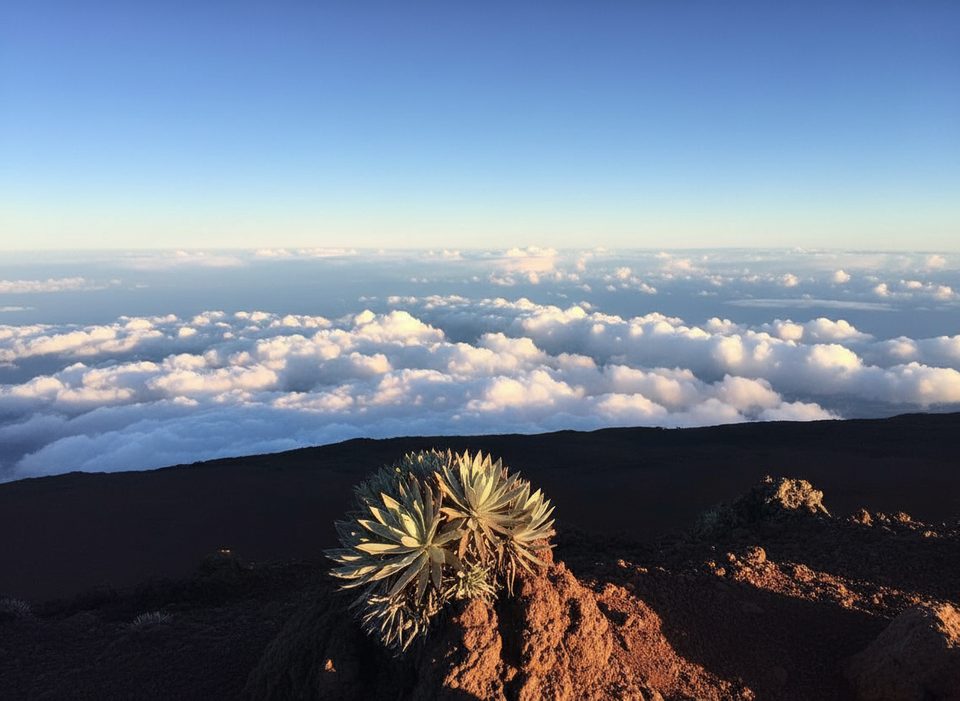
Sunrise and sunset are the headline acts here. Sunrise requires an advance vehicle reservation (3–7 am), and it draws a crowd—bucket-list worthy but busy. Sunset is typically less crowded yet just as dramatic, often with the summit floating above a sea of clouds. Midday can offer sharp crater views too, but clouds commonly build as the day goes on.
Dress like it’s winter—even in summer. The summit is cold, windy, and weather can flip fast; frost or even occasional ice can shut the road. Stay on the marked path to protect the rare ʻāhinahina (Haleakalā silversword), and keep an eye out for nēnē (Hawaiian goose). The observatories nearby are off-limits, but they hint at how ideal this place is for stargazing. This summit area is also culturally significant—treat it with respect.
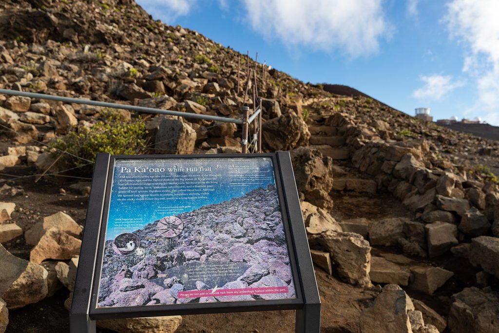
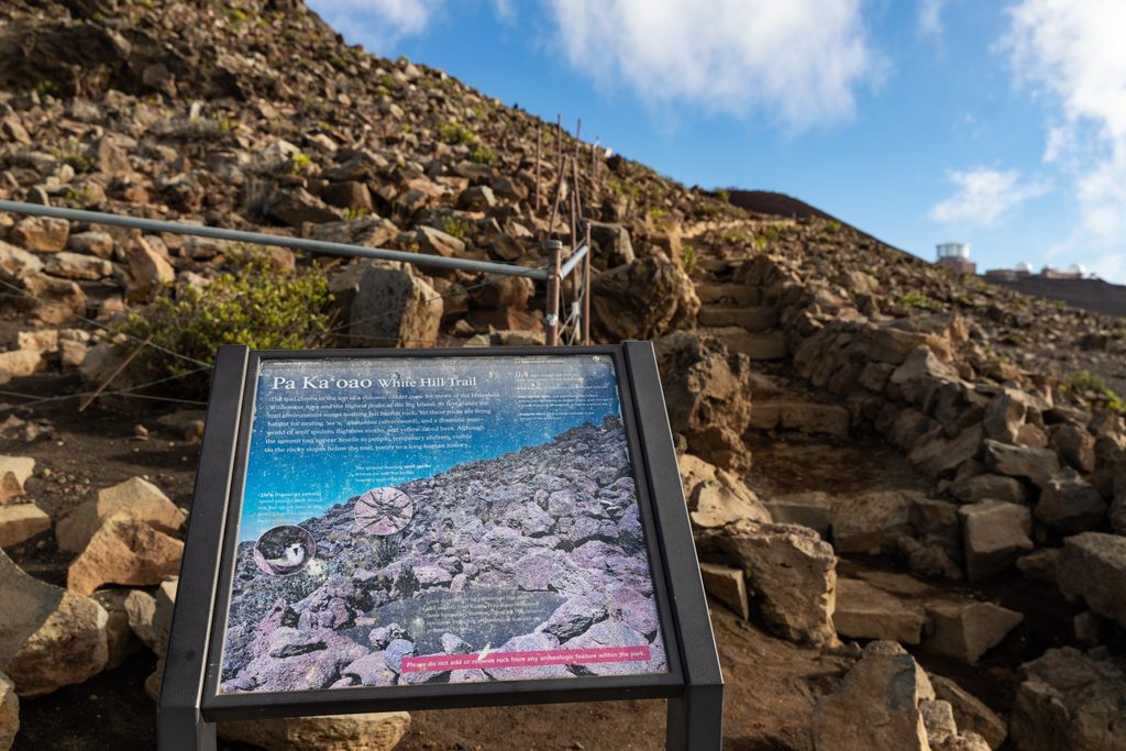
If you’re driving up, remember the key junction near mile 21: turn right for the public summit lot; the left fork heads to the restricted observatories. Use the two visitor centers on the way up (around 7,000 and 9,700 feet) for restrooms and acclimatization breaks. Don’t confuse this with Pa Kāoao (White Hill) below the upper visitor center—that’s a different short path and viewpoint.
Best time to hike: year-round. Aim for sunrise (with reservation) or sunset for the most dramatic light; weekdays see slightly fewer people. Arrive early for parking and to adjust to the elevation. On blustery days, that summit shelter is your friend.
Park at the public summit lot at the end of the Haleakalā Highway; near mile 21, take the right-hand fork (left goes to closed observatories).
Thin air, cold and strong winds year-round; rapid weather changes and occasional ice closures. Sunrise requires a reservation (3–7 am). Stay on paths to protect silversword.
Place · 0 mi away
Place · 0.3 mi away
Place · 0.3 mi away
Place · 0.3 mi away
Challenging · 0.3 mi away
Easy · 0.4 mi away
Challenging · 3.3 mi away
Easy · 4.2 mi away

Parkwolf Tour Guide
