Hawaiʻi Volcanoes National Park Sign — Highway 11 South in Hawaiʻi Volcanoes National Park

Sight · Hawaiʻi Volcanoes National Park

Hawaiʻi Volcanoes National Park Sign — Highway 11 South

A quick keepsake photo with the park’s lava-stone sign.

Photo: Wikimedia Commons
Type
Sight
Nearest trail
1.7 mi
Audio stories
2 nearby

Hear the audio tour

Rain That Keeps the Ground Bare

Overview

About Hawaiʻi Volcanoes National Park Sign — Highway 11 South

Why stop

  • The lava-stone sign makes a memorable arrival photo.

Heads up

  • Safe, legal parking and pedestrian access are unverified.

Map

Where it is

Loading the Hawaiʻi Volcanoes map
Full map
SightHawaiʻi Volcanoes National Park Sign — Highway 11 South19.35025, -155.38492
Keep this map with you offline in the Parkwolf app

Plan your stop

Before you go

Getting there

The map point identifies the sign itself. A small space in front has been reported, but public access and safe, legal parking are unverified, so don’t treat the pin as a stop instruction. No restroom, water or food service is verified at the sign.


5 active Hawaiʻi Volcanoes alerts

  • ClosureStorm-damage closures at Kahuku, Kīpukapuaulu, and Sulphur BanksStorm damage and hazardous trees continue to restrict access at Kahuku and Kīpukapuaulu; the damaged Sulphur Banks Bridge is closed.Official details
  • ClosureWork closures on Hilina Pali and Mauna Loa roadsRoad work is restricting motorized and all-use access on portions of Hilina Pali Road and Mauna Loa Road.Official details
See all 5 alerts
A park ranger sits on a dash-mounted phone, talking, as Parkwolf’s Tour Guide plays “Army Cutworm Moths: A Grizzly Bear Buffet” on Grand Loop Road below Dunraven Pass in Yellowstone
Parkwolf Tour GuideThe highest, rockiest slopes around here are a summer buffet for grizzly bears.

Hawaiʻi Volcanoes Tour Guide

Your drive to Hawaiʻi Volcanoes National Park Sign — Highway 11 South, narrated.

Parkwolf is a GPS audio tour guide for Hawaiʻi Volcanoes National Park. As you drive, it chimes in with what’s ahead: hidden gems, upcoming stops, history, geology, and wildlife, right through your car’s speakers.

See the Hawaiʻi Volcanoes audio tour

Recorded for this area

Rain That Keeps the Ground Bare
0:00 / 0:28
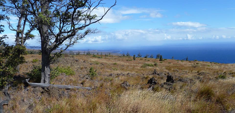
“Rain helps keep parts of the Kaʻū Desert bare. Kīlauea releases sulfur dioxide, which trade winds can carry across this area.”

Plays near Hawaiʻi Volcanoes National Park Sign — Highway 11 South in the Parkwolf Hawaiʻi Volcanoes Tour Guide.

More stories near here in the app

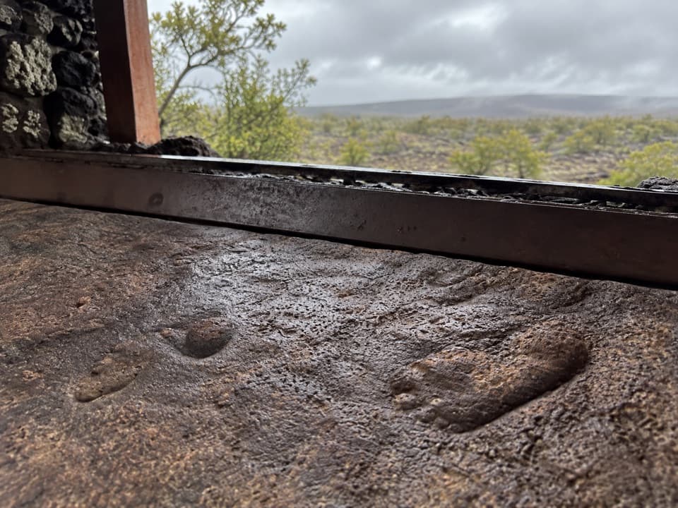
  • Footprints Shelter: Tracks in the Ash
  • One Park on Two Islands
  • A Spider Beneath a Leaf
  • 58 audio storiesacross Hawaiʻi Volcanoes’s roads, triggered by GPS as you drive
  • Wildlife heatmapsfor Hawaiian Goose (Nēnē), Green Sea Turtle, Hawaiian Hawk ('Io), and 13 more
  • Works offlinemaps, 33 trails, 53 places, and audio download before you lose signal
  • CarPlay readysimple controls built for the drive
★★★★★
“Fantastic app with many points of information… It’s great to just turn on while you’re driving and it gives you an audio tour of the national Park. We love it!!!!”
JMJamesApp Store review
Download Parkwolf on the App StoreGet Parkwolf on Google Play

4.7 from 8,600+ ratings

Guide

More about Hawaiʻi Volcanoes National Park Sign — Highway 11 South

A quick arrival photoThis is the lava-stone Hawaiʻi Volcanoes National Park sign on the south Highway 11 approach…

This is the lava-stone Hawaiʻi Volcanoes National Park sign on the south Highway 11 approach from Kaʻū, separate from the staffed entrance farther along the road. It’s a photo stop, not a volcano viewpoint. I’d take the picture if you’re already passing, but I wouldn’t make a detour for a sign. Stop only where you can pull fully off the highway in a safe, legal place.

The sign is the subjectThe broad dark-stone wall, orange-and-white letters and National Park Service arrowhead make…

The broad dark-stone wall, orange-and-white letters and National Park Service arrowhead make the recognizable arrival shot. Pose with the lettering if there’s a safe place to stand; don’t use the highway shoulder to get closer.

Wildlife

Wildlife in Hawaiʻi Volcanoes

All Hawaiʻi Volcanoes wildlife maps

Sighting maps show where each species has been reported across Hawaiʻi Volcanoes. Wildlife moves, so no sighting is guaranteed.

Parkwolf’s Hawaiʻi Volcanoes ranking

Top sights in Hawaiʻi Volcanoes

All 53 places
  1. 1UēkahunaSight
  2. 2Nāhuku Lava TubeSight
  3. 3Kīlauea OverlookSight
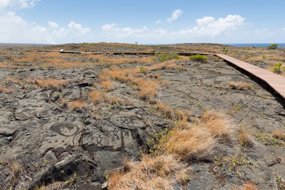
  4. 4Puʻuloa PetroglyphsSight
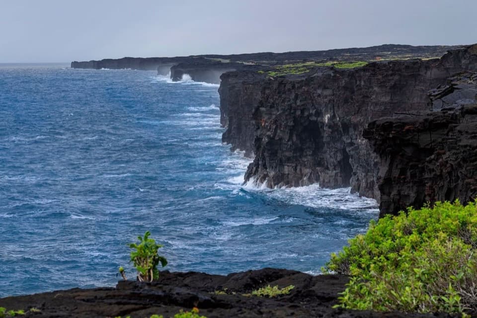
  5. 5Hōlei Sea ArchSight
  6. 6Kīlauea Iki OverlookSight

Take Parkwolf to Hawaiʻi Volcanoes.

The audio tour guide for the drive, plus offline maps, trails, and wildlife heatmaps for when the signal drops.

4.7 from 8,600+ ratings

Download Parkwolf on the App StoreGet Parkwolf on Google Play