Parking
Use the signed Highway 11 pullout between mile markers 38 and 39, west of the main park entrance. A local trail description reports a trash can and emergency phone but no other trailhead services.
Hawaiʻi Volcanoes National Park, HI
A cairn-marked crossing to a remote backcountry camp.
Overview
Map & elevation
Plan your hike

The highest, rockiest slopes around here are a summer buffet for grizzly bears.
Hawaiʻi Volcanoes Tour Guide
Parkwolf is a GPS audio tour guide for Hawaiʻi Volcanoes National Park. As you drive, it chimes in with what’s ahead: hidden gems, upcoming stops, history, geology, and wildlife, right through your car’s speakers.
See the Hawaiʻi Volcanoes audio tourRecorded for this area
Footprints Shelter: Tracks in the Ash“The Kaʻū Desert Trailhead is coming up, with a walk to Footprints Shelter for anyone curious about the people who crossed this volcanic landscape.”
Plays on the road 1.8 mi from the trailhead in the Parkwolf Hawaiʻi Volcanoes Tour Guide.
More stories near here in the app
“Fantastic app with many points of information… It’s great to just turn on while you’re driving and it gives you an audio tour of the national Park. We love it!!!!”


Trail guide
Kaʻū Desert Trail to Pepeiao is a one-way, point-to-point hike from the Highway 11 pullout to Pepeiao backcountry campsite. NPS lists the approach as 9.1 miles, though its mapped trail line measures about 7.9 miles and stops roughly a quarter mile from the cabin’s published coordinate. Use 9.1 miles for planning, but confirm the distance with backcountry staff before leaving. This is a remote, strenuous approach for fit, experienced hikers; allow most of a day and plan a permitted overnight or a carefully arranged exit.
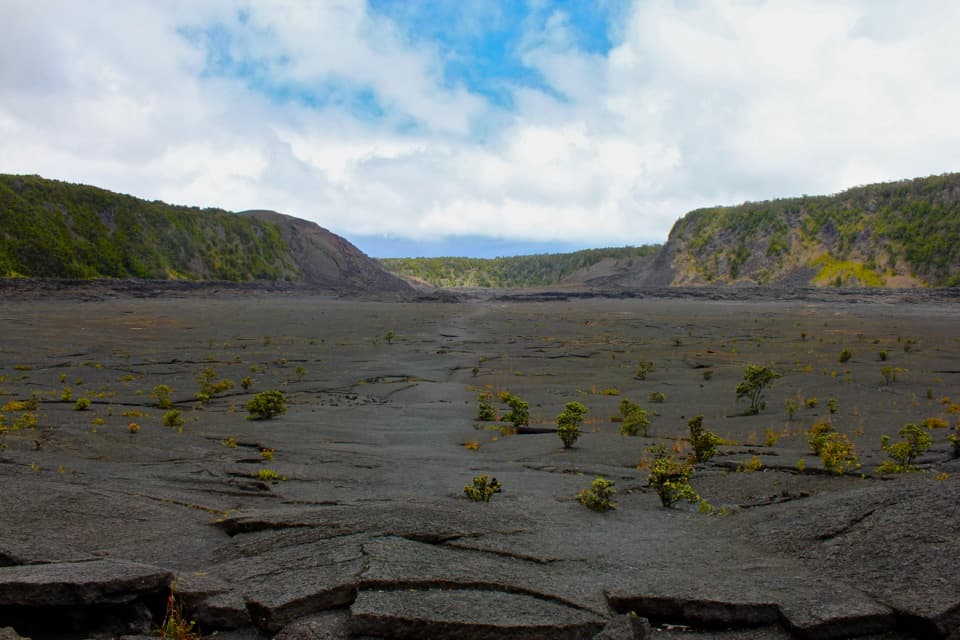
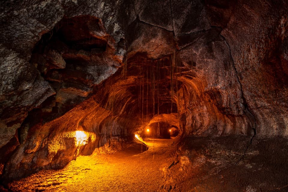
The landscape looks desert-like because of Mauna Loa’s rain shadow, acidic rain associated with Kīlauea’s gases, and porous lava that drains quickly. Expect broken, uneven lava rather than a smooth path. Stone ahu mark the route, but they can be hard to spot in rain or mist. Stay on the marked trail: thin crust, ground cracks, and lava tubes can be difficult to see. There is little shade and no streams in this area.
A backcountry permit is required for Pepeiao. Carry at least four quarts of water per person per day; catchment water is not always available, and any collected water must be treated. The cabin is unsafe, so plan to tent camp. The site allows up to 16 hikers per night and three consecutive nights. Intense sun, wind, and high temperatures make this a poor choice without enough water, sun protection, and wilderness experience. Pets other than service animals are not allowed on park trails or in wilderness areas. Unexploded WWII ammunition may be present; do not touch it and report it to a ranger.
The separate Footprints walk reaches a shelter about 0.8 mile from the same trailhead. The footprints in the ash are associated with the 1790 summit eruption, when Native Hawaiians traveling through the area were caught in the ashfall. That short stop is a separate walk, not the route to Pepeiao.
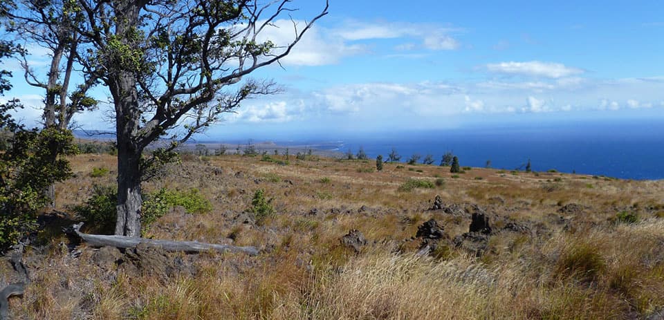
The reward is a remote camp above the coast, with open ocean views across dark lava and grassland. The route to Pepeiao is one of three approaches NPS lists; Hilina Pali and Kaʻaha are different routes, so arrange your return or pickup before setting out. For the view, keep the dark lava foreground and ocean in frame to show the openness of the site.
Wildlife
 600 sightingsHawaiian Goose (Nēnē)Most seen around 5 PMSighting map
 35 sightingsGreen Sea TurtleMost seen around 11 AMSighting map
 36 sightingsHawaiian Hawk ('Io)Most seen around 11 AMSighting map
 41 sightingsBlack NoddyMost seen around 5 PMSighting map
 96 sightingsWhite-tailed TropicbirdMost seen around noonSighting map
 24 sightingsHawai'i 'ElepaioMost seen around 8 AMSighting map
Sighting maps show where each species has been reported across Hawaiʻi Volcanoes. Wildlife moves, so no sighting is guaranteed.
Keep exploring
 EasyFootprints Trail1.6 mi · 1 hr · 1.8 mi awayAn easy, exposed walk to a shelter interpreting Kaʻū Desert footprints.
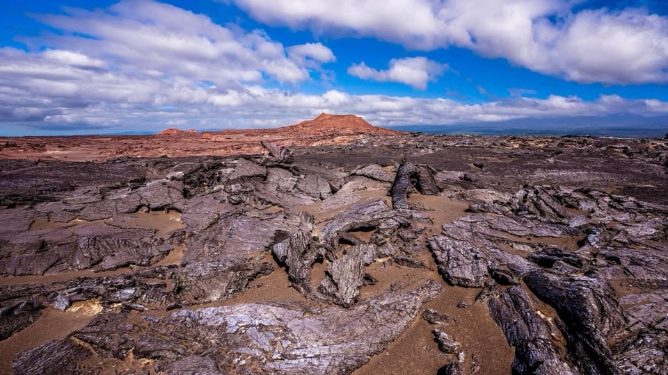 ModerateMaunaiki Trail7 mi · 4.5 hr · 4.7 mi awayA rough lava route through the Kaʻū Desert to Hilina Pali Road.
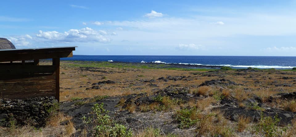 ChallengingKaʻaha Trail7.2 mi · 6 hr · 4.7 mi awayA rocky cove rewards a steep, sun-baked climb back up the pali.
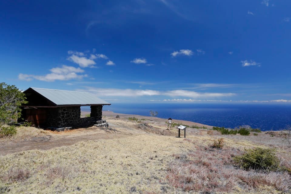 ChallengingHilina Pali Overlook Loop8.1 mi · 7.5 hr · 4.7 mi awayA steep pali descent opens onto a hot, rocky coastal loop.
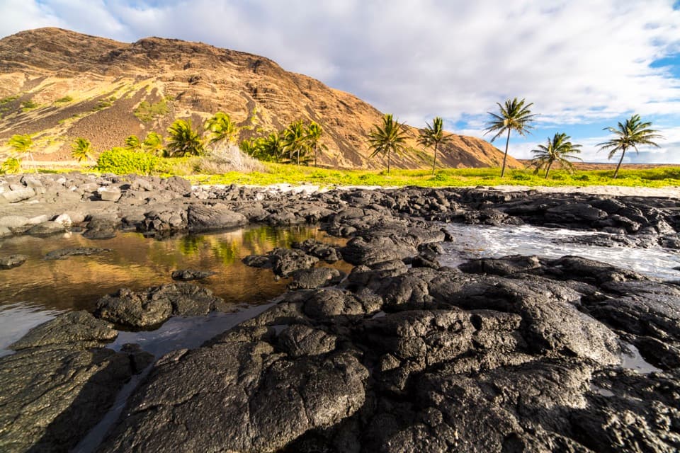 ChallengingHilina Pali Trail to Halapē16 mi · 10 hr · 4.7 mi awayA long, hot lava descent to a remote coconut-lined shore.
 EasyCrater Rim Trail3.8 mi · 2 hr · 6.3 mi awayA 3.8-mile out-and-back from Kīlauea Overlook to Volcano House.
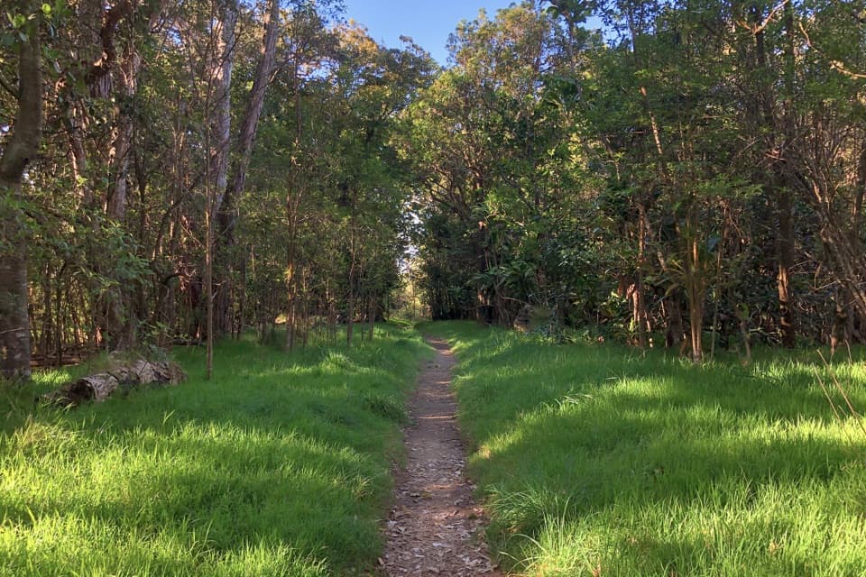 EasyKīpukapuaulu Trail1.2 mi · 1.3 hr · 6.5 mi awayA shaded loop through an ancient forest island in younger lava.
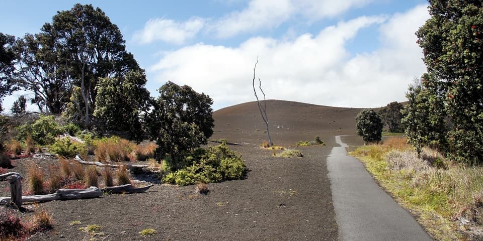 EasyDevastation Trail1 mi · 1 hr · 7.1 mi awayA short paved walk through cinder from Kīlauea Iki’s 1959 eruption.
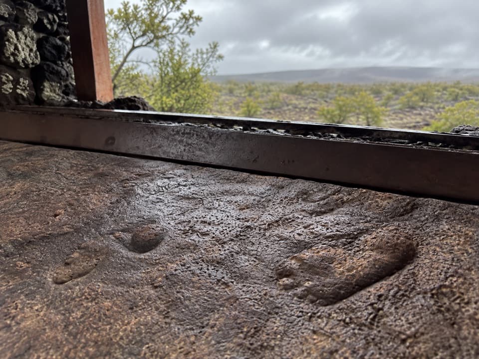 Sight · 1.3 mi awayFootprints ShelterA short walk to ancient footprints with a story still in dispute.
 Sight · 2.6 mi awayHawaiʻi Volcanoes National Park Sign — Highway 11 SouthA quick keepsake photo with the park’s lava-stone sign.Sight · 4.7 mi awayHilina Pali OverlookA nine-mile detour for Kīlauea’s wide-open Pacific view.
 Campground · 4.8 mi awayKulanaokuaiki CampgroundA quiet, nine-site camp off the remote southern road.
 Sight · 5.9 mi awayUēkahunaA caldera overlook and place of Native Hawaiian cultural practice.
 Campground · 6 mi awayNāmakanipaio CampgroundA simple in-park campground with tent sites and rustic cabins.
 Campground · 6.2 mi awayPepeiao CampsiteA remote camp in grass and lava, reached only by long hikes.
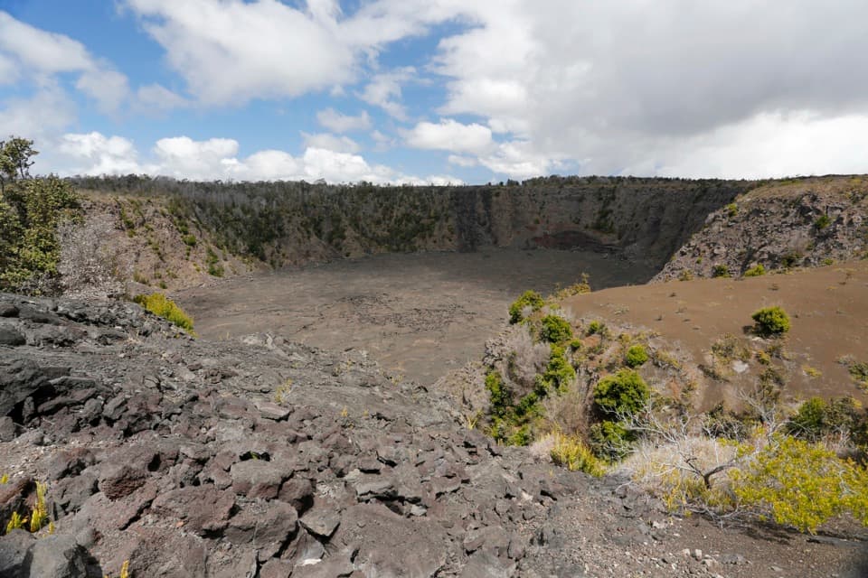 Sight · 6.3 mi awayKeanakākoʻi CraterA short old-road walk reaches a crater layered with human history.
Parkwolf’s Hawaiʻi Volcanoes ranking

The audio tour guide for the drive, plus offline maps, trails, and wildlife heatmaps for when the signal drops.