
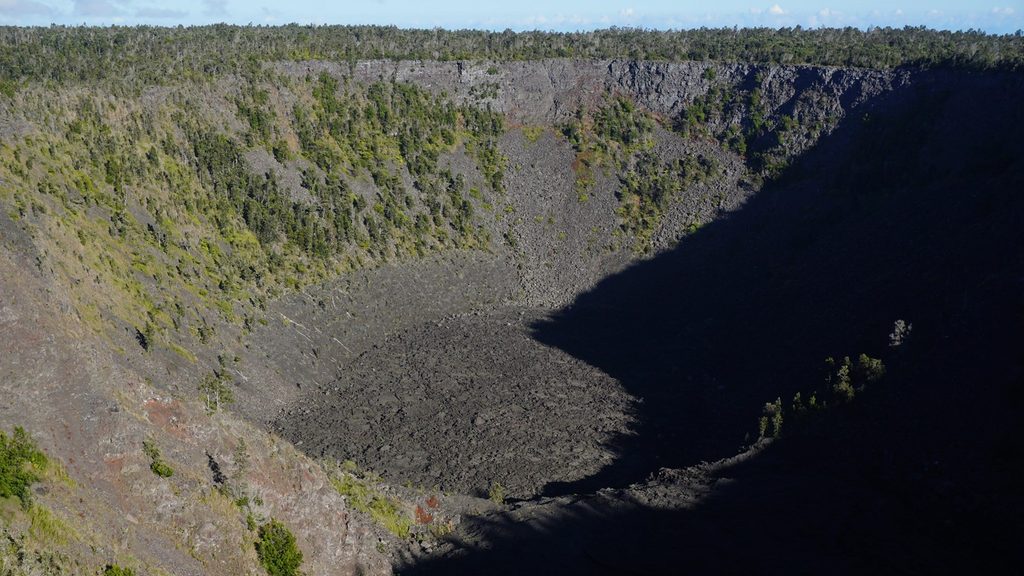
Place · 0.5 mi away
Moderate
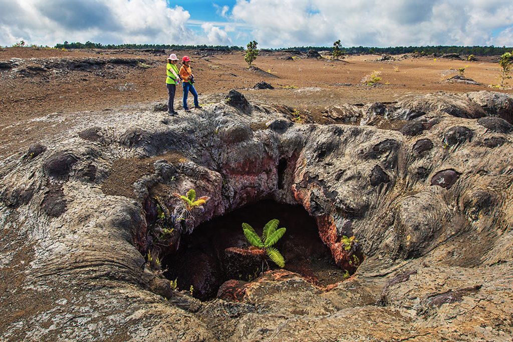
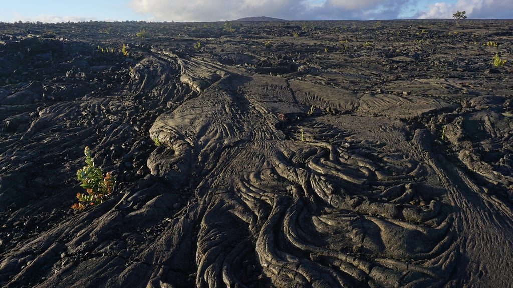
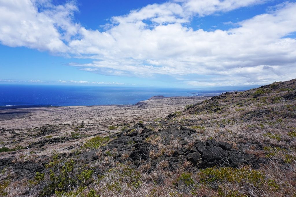
Short on time but want the classic Hawaiʻi Volcanoes experience? This 2.5-mile roundtrip out-and-back delivers a greatest-hits reel: stark lava fields, a kipuka of native forest, and a summit lookout with wide-open views of Mauna Ulu and the East Rift Zone. It’s not technical, but lava is unforgiving—expect uneven footing and a short, steeper push up the cone.
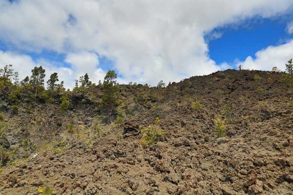
From the Mauna Ulu parking area, the route sets out across open lava, following ahu (stacked rock cairns) rather than a traditional dirt path. You’ll cross both rough cinder and smoother pāhoehoe, a quick lesson in how varied recent flows can look and feel. The final ascent climbs the forested puʻu (cone), a striking contrast to the barren flows below. Up top, a railed stone lookout and markers help you pick out nearby features and pit craters.
It’s 2.5 miles total (roundtrip), and most hikers spend about 2–3 hours including photo and view time. There’s a pit toilet at the Mauna Ulu parking area, but no water anywhere on the route—bring your own. A trail register sits near the start, and the cairned line makes navigation straightforward if you pay attention. Do not disturb or build new cairns.
This is an easy-to-moderate outing overall, with the only real effort coming on the cone’s short, steeper section. Lava can be sharp and abrasive, so wear closed, sturdy footwear you don’t mind scuffing. Wind and sun exposure are real across the flows.
Year-round access, but clear days pay off with bigger views. Aim for early morning or late afternoon for cooler temps and softer light; midday can be hot and glary on the dark rock. Check current park conditions and any closures before you go.
Listen for native forest birds on the cone’s slopes, and keep an eye out for ‘apapane flitting through the canopy. With luck (and distance), you may spot a pueo cruising the open lava.
Park at the Mauna Ulu parking area off Chain of Craters Road; the hike begins about 100 yards from the lot. Pit toilet at the trailhead; no water.
Uneven, sharp lava and loose cinder can cut or scuff; wear sturdy closed shoes. Follow official ahu and do not build or move cairns. No shade or water—bring plenty and use sun protection.
Place · 0.5 mi away
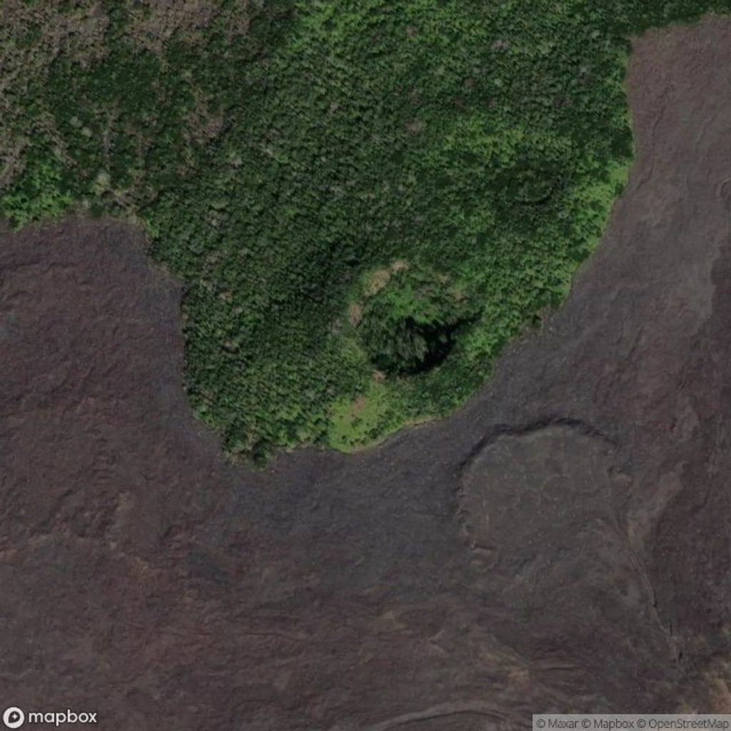
Place · 0.8 mi away
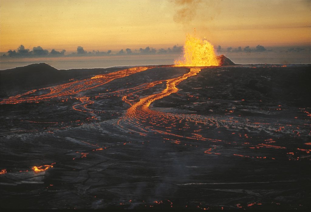
Place · 1 mi away
Place · 1 mi away
Challenging · 0.1 mi away
Challenging · 2.1 mi away
Easy · 3.6 mi away
Easy · 3.7 mi away

Parkwolf Tour Guide
