Parking
Access the Mau Loa o Maunaulu trailhead from Chain of Craters Road. Trailhead parking capacity and facilities could not be confirmed.
Hawaiʻi Volcanoes National Park, HI
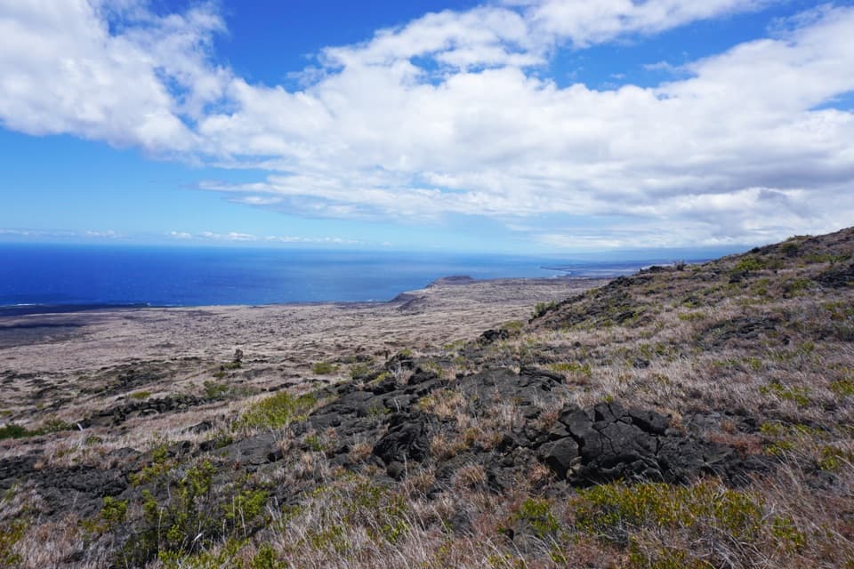
Lava ridges lead to a freshwater seep on the remote coast.
Overview
Map & elevation
Plan your hike

The highest, rockiest slopes around here are a summer buffet for grizzly bears.
Hawaiʻi Volcanoes Tour Guide
Parkwolf is a GPS audio tour guide for Hawaiʻi Volcanoes National Park. As you drive, it chimes in with what’s ahead: hidden gems, upcoming stops, history, geology, and wildlife, right through your car’s speakers.
See the Hawaiʻi Volcanoes audio tourRecorded for this trailhead
Mau Loa o Maunaulu: Glassy Lava and a Long Trail“You're nearing Mau Loa o Maunaulu, where you can look across the lava field straight from the pullout. Look uphill for Maunaulu's broad shield, the source of these flows.”
Plays as you drive up to this trailhead in the Parkwolf Hawaiʻi Volcanoes Tour Guide.
More stories near here in the app
“Fantastic app with many points of information… It’s great to just turn on while you’re driving and it gives you an audio tour of the national Park. We love it!!!!”


Trail guide
Keauhou Trail is a rugged out-and-back from the Mau Loa o Maunaulu trailhead down to the park’s southern shore. The documented distance is 7.6 miles one way, so returning to the same start makes it 15.2 miles. Expect a full day on foot, about 8 to 10 hours for the return, over a long descent and the same climb back. The payoff is a small rocky bay where freshwater seeps up and mixes with the ocean; this is a remote backcountry hike, not a quick coastal stroll.
The route crosses mostly non-native grasses and rough volcanic ground. The park describes sections as steep, rocky, uneven and locally overgrown, with little shade and strong sun along the coast. Stone cairns, or ahu, mark the way. They can be difficult to spot in mist or rain and are hard to follow after dark, so start early and stay on the marked line rather than cutting across the lava.
At the end, the rocky bay and freshwater seep are the draw. The campsite has a three-sided primitive shelter, a roof catchment tank and a composting toilet. The tank is not a dependable water source: check its level with a ranger before setting out and treat any water you collect. Camping at Keauhou requires a backcountry permit. From the open slope, a photo with broken lava in the foreground and the ocean beyond captures the exposed landscape better than a frame filled only with sky.
The trail is hot and exposed, and the return climbs back to the high trailhead. Avoid the hottest part of the day and carry at least four quarts of water per person per day; there are no streams along this coast. Pets are not allowed on park trails or in wilderness areas. Trailhead parking capacity and facilities are not confirmed, so plan around the named access on Chain of Craters Road.
Wildlife
 600 sightingsHawaiian Goose (Nēnē)Most seen around 5 PMSighting map
 35 sightingsGreen Sea TurtleMost seen around 11 AMSighting map
 36 sightingsHawaiian Hawk ('Io)Most seen around 11 AMSighting map
 41 sightingsBlack NoddyMost seen around 5 PMSighting map
 96 sightingsWhite-tailed TropicbirdMost seen around noonSighting map
 24 sightingsHawai'i 'ElepaioMost seen around 8 AMSighting map
Sighting maps show where each species has been reported across Hawaiʻi Volcanoes. Wildlife moves, so no sighting is guaranteed.
Keep exploring
 ChallengingMakaopuhi Crater Trail8.2 mi · 5 hr · 2.1 mi awayA long lava crossing opens at a steep, forested crater rim.
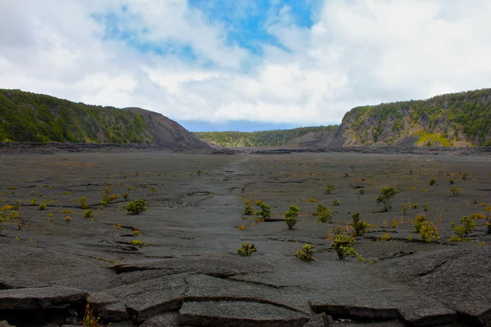
 ModerateMaunaulu / Puʻuhuluhulu Trail2.5 mi · 2.5 hr · 2.1 mi awayCross 1969 lava flows to a forested cone and its viewing platform.
 ChallengingNāpau Trail12.4 mi · 7.2 hr · 2.1 mi awayCross old lava rivers into a fern forest and a crater overlook.
 ChallengingNāulu Trail6.4 mi · 3.5 hr · 3.1 mi awayA steady climb over rough lava links Kealakomo with the Nāpau junction.
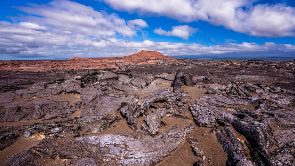 ModerateMaunaiki Trail7 mi · 4.5 hr · 4.7 mi awayA rough lava route through the Kaʻū Desert to Hilina Pali Road.
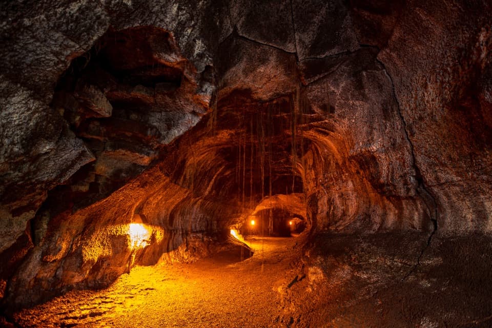 EasyNāhuku (Thurston Lava Tube) Trail0.4 mi · 30 min · 5.8 mi awayA short ferny walk leads into a 500-year-old lava tube.
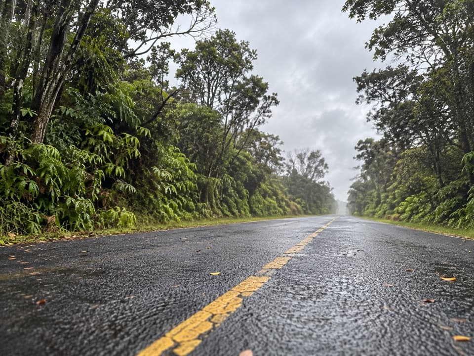 EasyEscape Road Trail3.8 mi · 2 hr · 5.8 mi awayA gentle forest descent from Nāhuku toward Mauna Ulu.
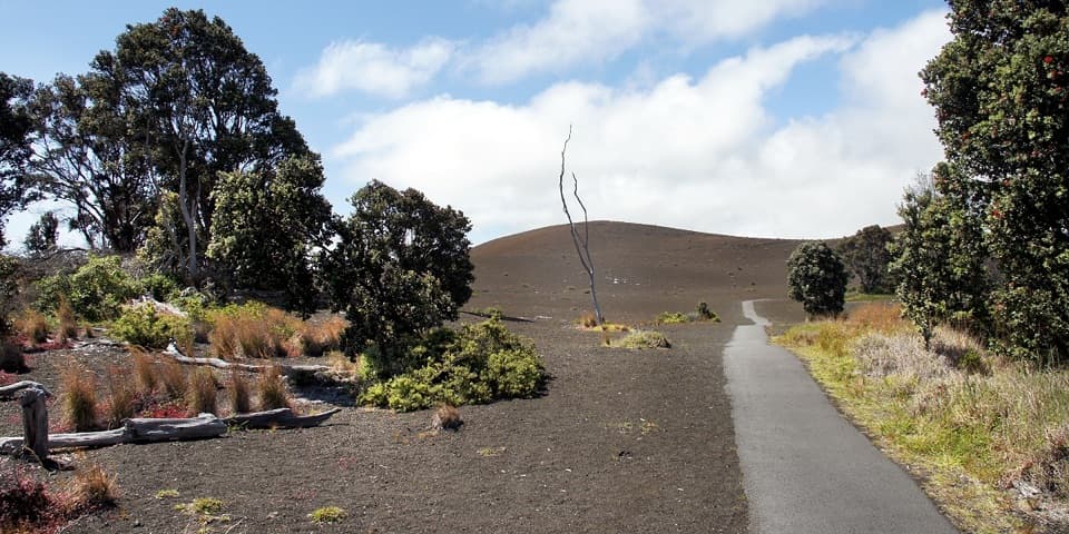 EasyDevastation Trail1 mi · 1 hr · 5.8 mi awayA short paved walk through cinder from Kīlauea Iki’s 1959 eruption.
 Scenic pullout · At the trailheadMau Loa o MaunauluSee Maunaulu's glassy 1969–74 lava field from the road.
 Sight · 1 mi awayMuliwai a PeleA three-day lava river left its own channels and levees.
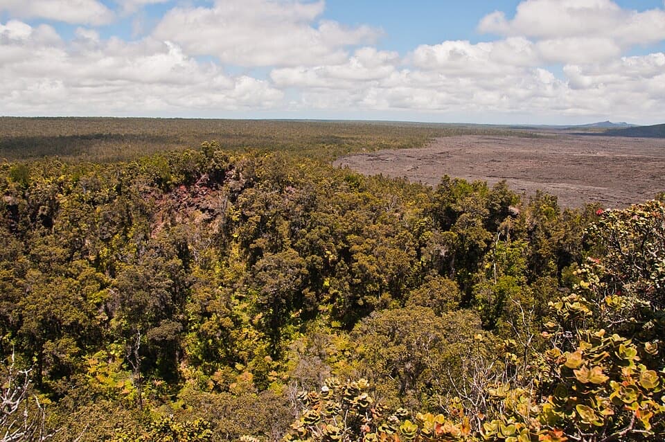 Sight · 2.4 mi awayPuʻuhuluhulu OverlookA forested cone gives a close view of Maunaulu’s lava shield.
 Sight · 2.6 mi awayMakaopuhi Crater OverlookKīlauea’s largest pit crater, with a blue lava lens on its wall.
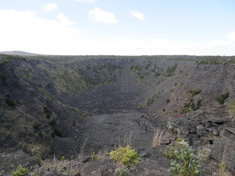 Sight · 2.8 mi awayPauahi CraterA roadside look into a crater shaped by three eruptions.
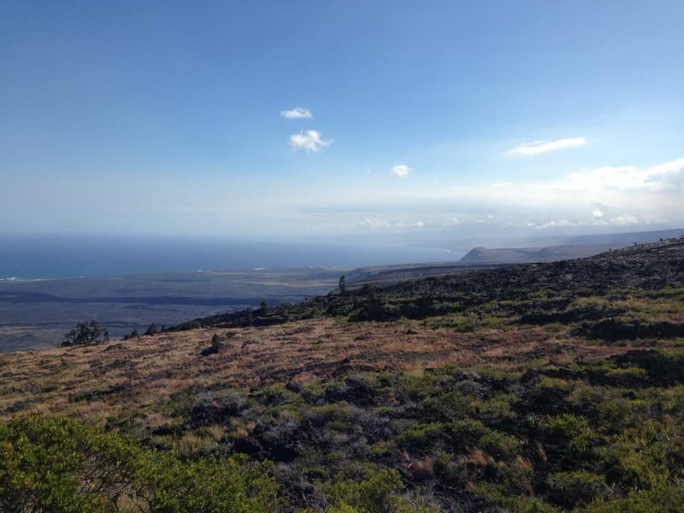 Sight · 3.1 mi awayKealakomo OverlookA coastal overlook above a village buried by lava.
 Sight · 4 mi awayAlanui KahikoA short walk reveals road pavement trapped by lava.
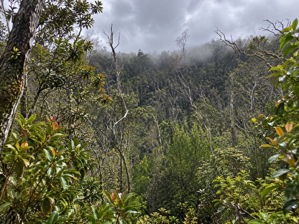 Sight · 4.3 mi awayKoʻokoʻolau Crater LookoutA pit crater with a 1958 survey marker on its rim.
Parkwolf’s Hawaiʻi Volcanoes ranking

The audio tour guide for the drive, plus offline maps, trails, and wildlife heatmaps for when the signal drops.