Parking
Start at the Maunaulu parking area, about 3.5 miles down Chain of Craters Road. Sign the trail register, walk about 100 feet on pavement, then turn left onto the Puʻu Huluhulu trail.

#9 of 33 trails in Hawaiʻi Volcanoes
Hawaiʻi Volcanoes National Park, HI
Cross old lava rivers into a fern forest and a crater overlook.
Overview
Map & elevation
Plan your hike

The highest, rockiest slopes around here are a summer buffet for grizzly bears.
Hawaiʻi Volcanoes Tour Guide
Parkwolf is a GPS audio tour guide for Hawaiʻi Volcanoes National Park. As you drive, it chimes in with what’s ahead: hidden gems, upcoming stops, history, geology, and wildlife, right through your car’s speakers.
See the Hawaiʻi Volcanoes audio tourRecorded for this trailhead
Maunaulu: Walk to Puʻuhuluhulu“You're approaching the Maunaulu trailhead, where a walk to Puʻuhuluhulu gives you a view across the lava landscape from a wooded cone.”
Plays as you drive up to this trailhead in the Parkwolf Hawaiʻi Volcanoes Tour Guide.
More stories near here in the app
“Fantastic app with many points of information… It’s great to just turn on while you’re driving and it gives you an audio tour of the national Park. We love it!!!!”


Trail guide
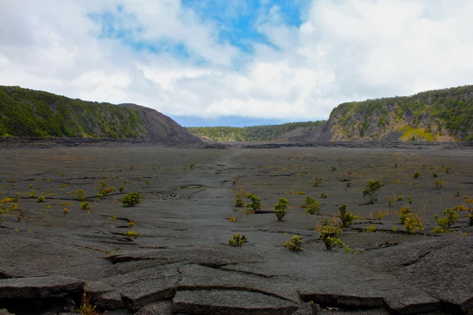
Nāpau Trail is a 12.4-mile out-and-back from the Maunaulu parking area to the Nāpau Crater overlook on Kīlauea’s East Rift. It crosses the Maunaulu lava fields, skirts Makāopuhi Crater, then enters tree-fern rainforest before ending above Nāpau, with Puʻu ʻŌʻō across the crater. It’s a rewarding choice if you want a long, varied walk and are comfortable on rough lava. Plan on about seven hours with stops. The listed 6.2 miles is one way; you walk back over the same ground.
Sign the trail register, walk about 100 feet on pavement, then turn left onto the Puʻu Huluhulu trail. Numbered interpretive stops lead to the Nāpau junction at about a mile. From there the route heads east across open lava, reaches Makāopuhi at roughly mile 2.2, and eventually trades the exposed flow for thicker forest. At the far end, the route reaches a steep overlook above Nāpau Crater. The walk is not a summit climb, but twelve miles of uneven ground makes it a serious day out.
Maunaulu means “growing mountain.” Its eruptions from 1969 to 1974 left the lava rivers, channels, tree molds and pit craters along the route. The trail follows part of the East Rift Zone, where magma once moved underground from Kīlauea’s summit toward Puʻu ʻŌʻō. The crater approach now crosses a younger lava flow; stay on the marked line rather than trying to find a smoother shortcut.
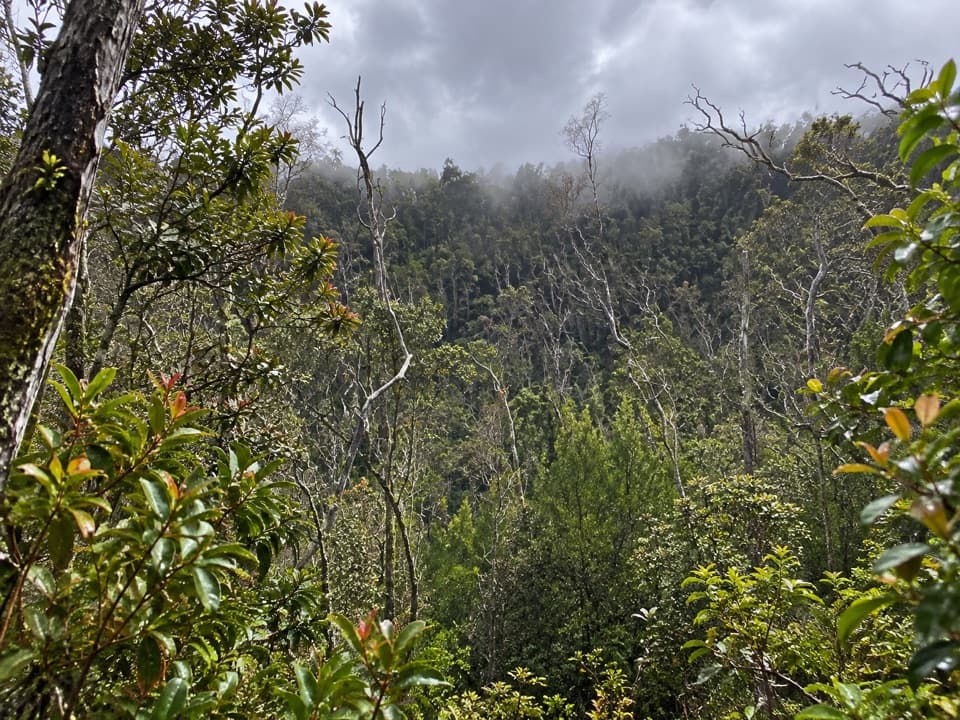
Makāopuhi is where the route’s open volcanic ground gives way to dense rainforest. The crater erupted in 1922, 1965 and 1972, partly filling its west side. Beyond its rim, hāpuʻu tree ferns close in overhead, and the old pulu factory ruins sit along the trail. Look for the contrast between bare lava and the damp, green forest; it is the best reminder that this trail crosses more than one kind of landscape.
In the 1800s, workers processed pulu, the soft fiber from hāpuʻu tree ferns, for stuffing mattresses. The first known commercial sale was in 1847, and Hawaiʻi exported 788,000 pounds by 1862. Judge George Anson Byron Kaina established stations at Nāpau and north of Kīlauea’s summit. The Nāpau station was likely abandoned around 1867 after overharvesting; low stone walls are still visible beside the route.
The exposed lava gets strong sun, while rain and wet clothing can turn a long hike cold. Stone ahu can be hard to distinguish from black lava at first, so keep your eyes on the next marker. There is no drinking water at the trailheads or along the route; bring the full day’s supply (the park recommends four quarts per person per day), plus sun protection and rain gear. Overnight camping needs a backcountry permit. The 2024 flow buried most Nāpau campsites and the pit toilet; the remaining site near the overlook is limited to two tents and has no pit toilet.
Wildlife
 600 sightingsHawaiian Goose (Nēnē)Most seen around 5 PMSighting map
 35 sightingsGreen Sea TurtleMost seen around 11 AMSighting map
 36 sightingsHawaiian Hawk ('Io)Most seen around 11 AMSighting map
 41 sightingsBlack NoddyMost seen around 5 PMSighting map
 96 sightingsWhite-tailed TropicbirdMost seen around noonSighting map
 24 sightingsHawai'i 'ElepaioMost seen around 8 AMSighting map
Sighting maps show where each species has been reported across Hawaiʻi Volcanoes. Wildlife moves, so no sighting is guaranteed.
Keep exploring
 ModerateMaunaulu / Puʻuhuluhulu Trail2.5 mi · 2.5 hr · At the trailheadCross 1969 lava flows to a forested cone and its viewing platform.
 ChallengingMakaopuhi Crater Trail8.2 mi · 5 hr · 0.1 mi awayA long lava crossing opens at a steep, forested crater rim.
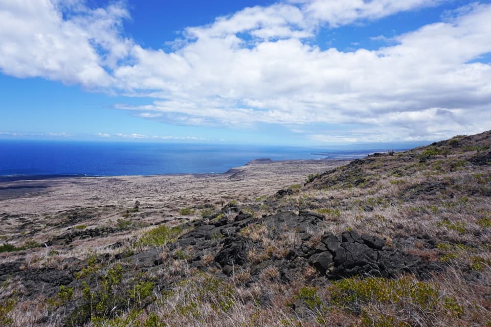 ChallengingKeauhou Trail15.2 mi · 8.5 hr · 2.1 mi awayLava ridges lead to a freshwater seep on the remote coast.
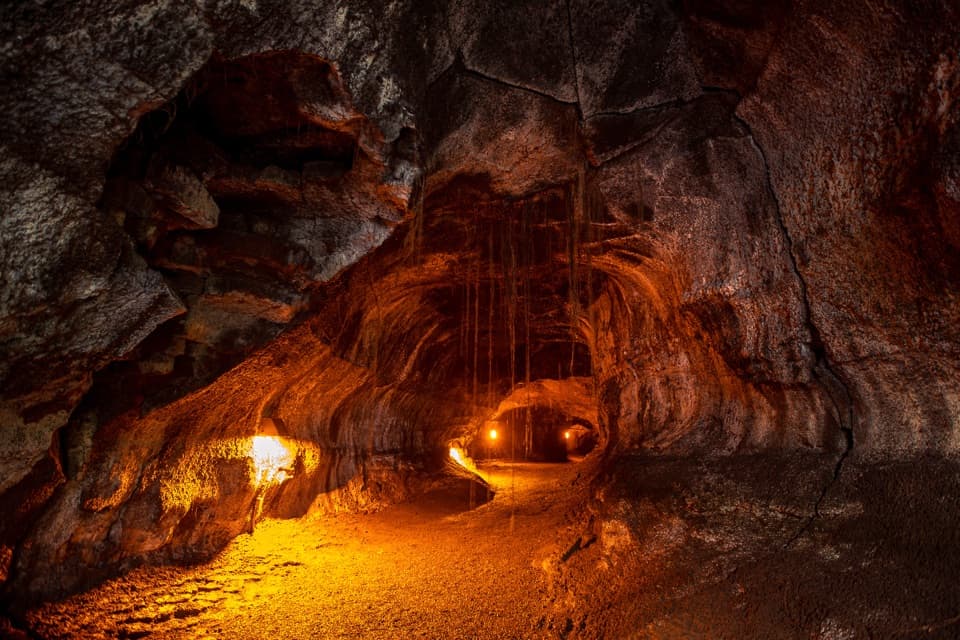 EasyNāhuku (Thurston Lava Tube) Trail0.4 mi · 30 min · 3.6 mi awayA short ferny walk leads into a 500-year-old lava tube.
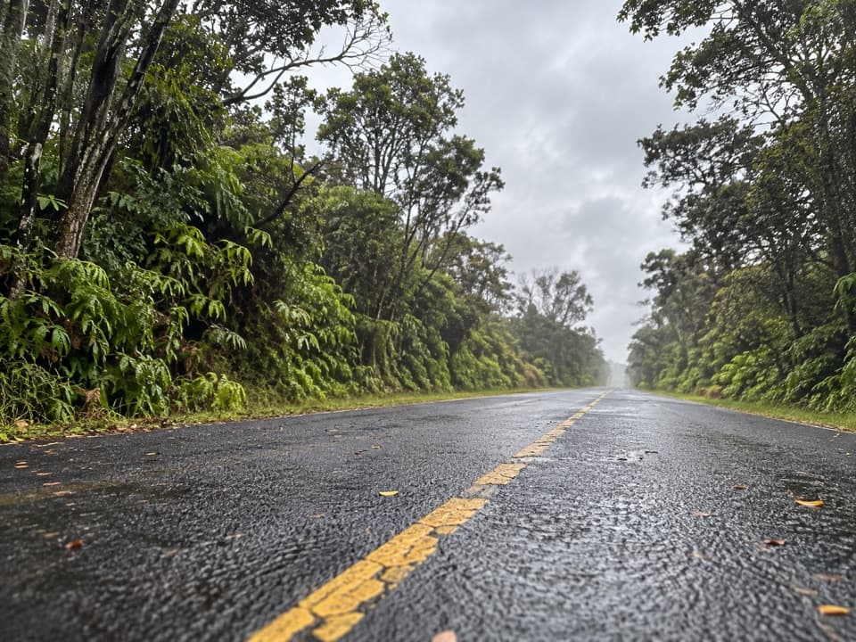 EasyEscape Road Trail3.8 mi · 2 hr · 3.7 mi awayA gentle forest descent from Nāhuku toward Mauna Ulu.
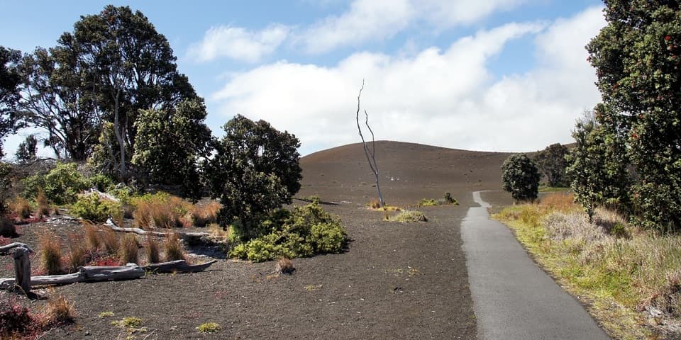 EasyDevastation Trail1 mi · 1 hr · 3.7 mi awayA short paved walk through cinder from Kīlauea Iki’s 1959 eruption.
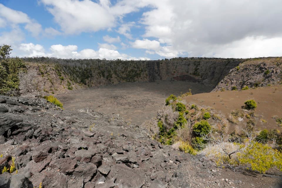 EasyKeanakākoʻi Crater Trail2 mi · 1.3 hr · 3.7 mi awayAn easy walk on a former road reaches a 115-foot crater.
 ModerateUēaloha (Byron Ledge) Trail2.2 mi · 1.5 hr · 3.7 mi awayOpen cinder, forested ledge, and views of Puʻupuaʻi.
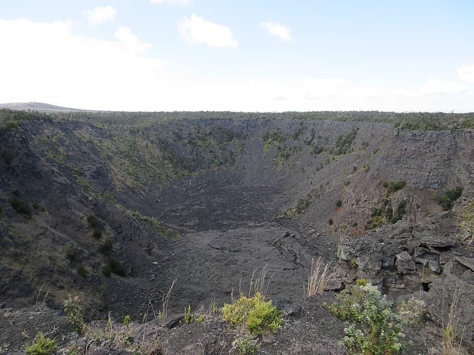 Sight · 0.7 mi awayPauahi CraterA roadside look into a crater shaped by three eruptions.
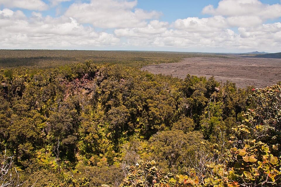 Sight · 0.9 mi awayPuʻuhuluhulu OverlookA forested cone gives a close view of Maunaulu’s lava shield.
 Scenic pullout · 2.1 mi awayMau Loa o MaunauluSee Maunaulu's glassy 1969–74 lava field from the road.
 Sight · 2.3 mi awayKoʻokoʻolau Crater LookoutA pit crater with a 1958 survey marker on its rim.
 Sight · 2.7 mi awayMakaopuhi Crater OverlookKīlauea’s largest pit crater, with a blue lava lens on its wall.
 Sight · 2.9 mi awayPuhimau CraterA quick roadside look into one of Kīlauea's steep-walled pit craters.
 Sight · 3.1 mi awayMuliwai a PeleA three-day lava river left its own channels and levees.
 Sight · 3.3 mi awayLuamanu and July 1974 FlowA crater holds the mark of lava that later drained away.
Parkwolf’s Hawaiʻi Volcanoes ranking

The audio tour guide for the drive, plus offline maps, trails, and wildlife heatmaps for when the signal drops.