
Place · 0.5 mi away
Moderate
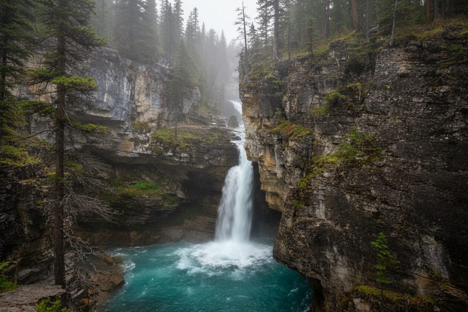
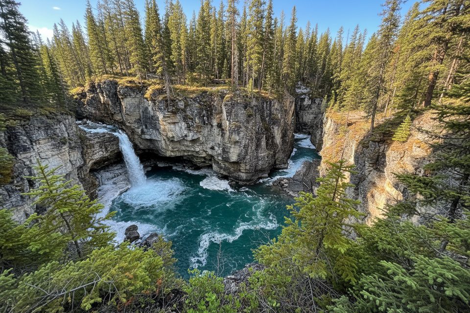
If you want a big waterfall payoff without burning a whole day, this little canyon delivers. Beauty Creek squeezes into a rugged gorge studded with multiple cascades, ending at the thundering Stanley Falls. It’s an out-and-back at roughly 2.0 miles (3.2 km) total with about ~100 m of gentle-to-moderate climbing. Expect uneven footing, roots, and a few short steeper bits, but nothing technical.
The start is easy to miss. Look on the east side of Highway 93 for a small, unassuming pullout near two big culverts/dikes and a gate—about 15.5 km north of the Columbia Icefield Discovery Centre or just under 2 km south of Beauty Creek Hostel. From the pullout, follow a berm, slip through the trees, and hop onto the old highway bed. In about 800 m you’ll reach the former bridge site over Beauty Creek; turn left up-canyon and follow the path as the gorge curves and tightens for roughly another 800 m, with waterfalls getting bigger around each bend. The official turnaround is Stanley Falls at the end of the canyon—there’s no end sign, so treat the point where the path spits you onto creek bed as your cue to turn back.
Footing is mostly dirt with rocky and rooty sections near the viewpoints. There are no railings at the gorge edge. Past the falls the route is unmaintained and quickly fades; only continue if you’re prepared for rough, off-trail creek travel. A short wander beyond the falls can lead to a pebbly spot on the creek—great for a quick, glacially cold foot soak.
You get a concentrated run of waterfalls, intimate canyon walls, and glimpses of surrounding peaks without the crowds that flock to the Parkway’s headliners. It’s a classic “hidden gem” feel: modest approach, big ambiance. History buffs will enjoy the old highway alignment and the former bridge site you pass en route.
Late spring through early fall is prime: the trail is generally snow-free, parking is accessible, and the waterfalls swell with spring melt or after rain. Mornings or late afternoons bring softer light into the canyon and fewer people. In winter this route is not maintained and can be icy and hazardous.
Dogs are allowed on leash under park rules. No special trail permit is required, but a valid park pass is needed to stop and hike within Jasper National Park.
Small, unmarked pullout on the east side of Highway 93 near two large culverts/dikes and a gate; ~15.5 km north of the Columbia Icefield Discovery Centre or just under 2 km south of Beauty Creek Hostel.
Unguarded canyon edges and slippery, rooty rock near viewpoints; no barriers; trail becomes unmaintained beyond Stanley Falls. Supervise children closely and watch footing.
Place · 0.5 mi away
Place · 3.9 mi away
Place · 4.6 mi away
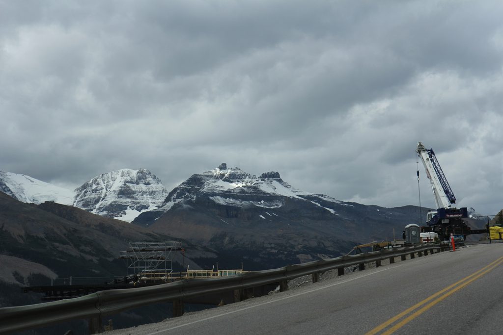
Place · 8.7 mi away
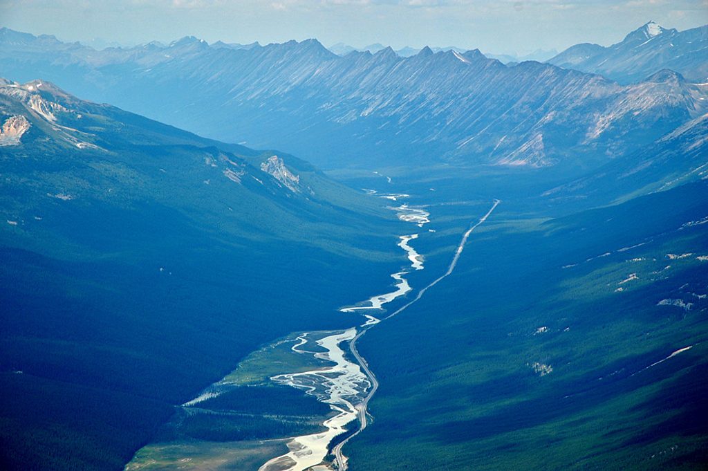
Challenging · 4.6 mi away
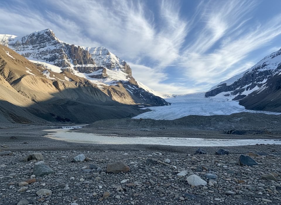
Easy · 9 mi away
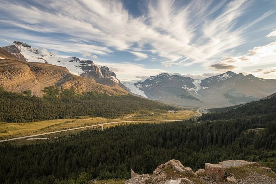
Moderate · 9.8 mi away
Moderate · 9.8 mi away

Parkwolf Tour Guide
