
Place · 0 mi away
Easy
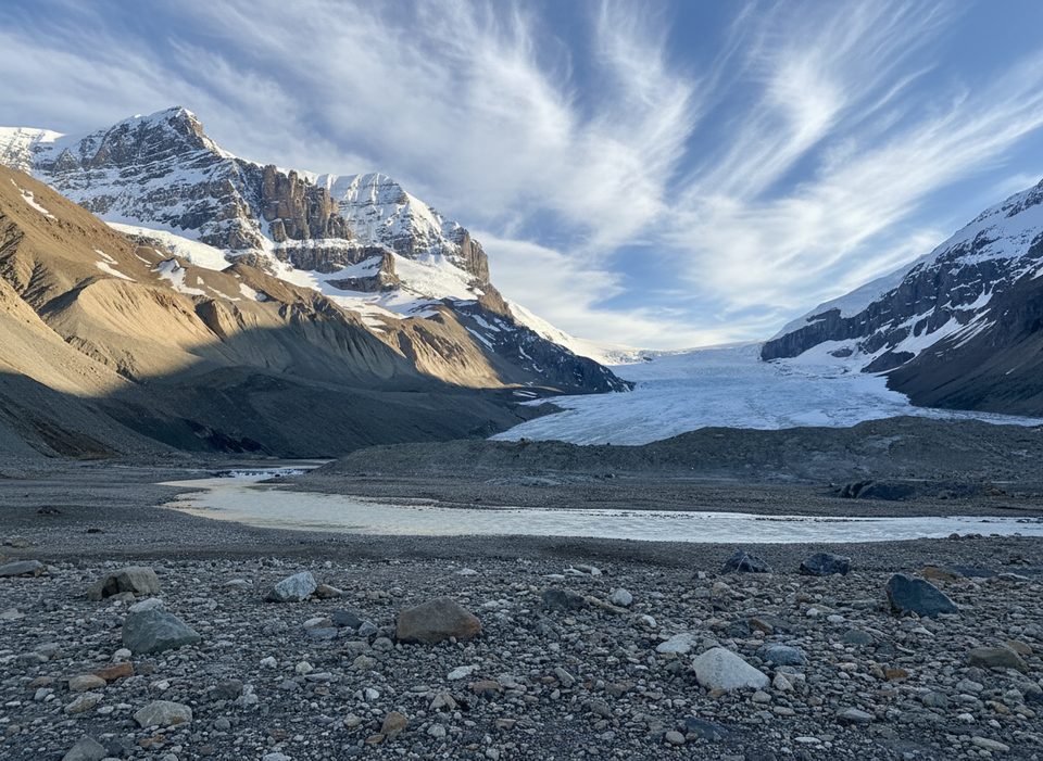
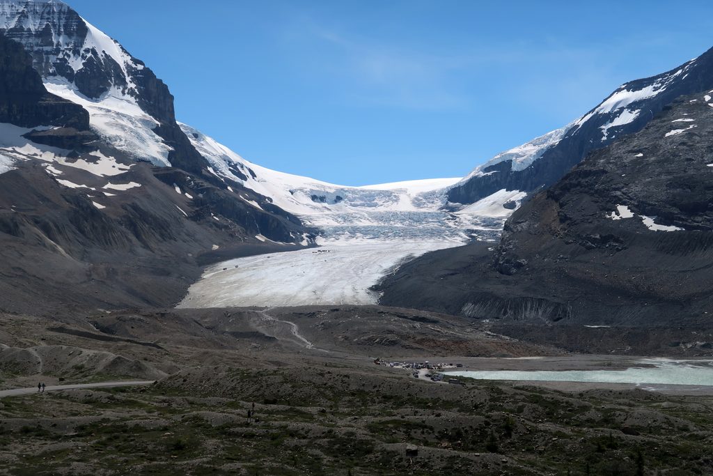
This is the quick, free way to get up close to a true alpine glacier—no special gear, no long approach. From the gravel lot across from the Columbia Icefield Discovery Centre, the path climbs a short, steep hill and crosses the rocky glacial forefield to a fenced viewpoint at the glacier’s toe. Expect jaw‑dropping ice and peak views with plenty of company.
The Toe of the Athabasca Glacier Trail is about 1.8 km (1.1 miles) round trip, out and back, with roughly 60 m/196 ft of gain concentrated early on. Most people take around an hour, depending on crowds and footing. The terrain is rocky and uneven, which bumps the feel to easy‑moderate for some.
You’ll traverse freshly exposed glacial forefield dotted with polished rock, gravel, and moraines—textbook evidence of rapid retreat. Interpretive signs mark where the ice once reached and explain features like striations and the terminal moraine. At the viewpoint, you’re face to face with the glacier’s lower end, framed by big peaks including Mount Athabasca, Snow Dome, and Andromeda.
From the parking area, cross the stream on a bridge and grunt up the steep, loose hill locals call “Suicide Hill.” The rest is a straightforward, rocky walk to the fence near the ice. Barriers are there for a reason—hidden crevasses and swift meltwater make the glacier itself off‑limits unless you’re on a guided trip.
May through September is the sweet spot for access and clear surfaces. Even then, it’s notably colder and windier here than elsewhere on the Parkway—glacier wind is real. Bring layers, gloves, and a warm hat any time of year. Peak crowds roll in June–September; go early or late for a quieter, better‑lit experience.
Absolutely—as a short, educational, and dramatic stop on the Icefields Parkway, it’s hard to beat. Just know you’re trading solitude for scenery and a vivid look at climate change in real time. If you’re craving a longer, quieter outing, pair this with additional walking in the forefield area rather than expecting wilderness vibes here.
Use the gravel lot across the Icefields Parkway from the Discovery Centre; the trailhead is at the end of Toes of the Glacier Road. Outhouses available.
Do not cross barriers or step on the glacier—hidden crevasses and swift meltwater. The steep initial hill can be slick; expect strong, cold winds even in summer.
Place · 0 mi away
Place · 0.6 mi away
Place · 0.6 mi away
Place · 0.6 mi away
Moderate · 2.1 mi away
Moderate · 2.1 mi away
Moderate · 2.1 mi away
Challenging · 4.4 mi away

Parkwolf Tour Guide
