Wilcox Pass in Icefields Parkway (Highway 93)

#3 of 54 trails in Icefields Parkway

Icefields Parkway (Highway 93), AB

Wilcox Pass

A steep forest climb opens to wildflowers and icefield views.

Photo: Wikimedia Commons
Length
6.8km
Time
2.5hr
Elev. change
319m
Difficulty
Moderate
  • Dogs allowed
  • High point 2,340 m

Hear the audio tour

Wilcox Pass: The Red-Chair Turnaround

Overview

About Wilcox Pass

Why go

  • Glacier and Columbia Icefield views open above the forest
  • The viewpoint offers a shorter turnaround before the pass
  • Bighorn sheep and mountain goats are sometimes seen

Heads up

  • Steep climbing begins right at the trailhead
  • The upper route is exposed and rocky

Map & elevation

The route

Loading the Icefields Parkway map
Full map
Elevation2,021–2,340 m
TrailheadWilcox Pass Trailhead / Wilcox Creek Campground entrance52.21826, -117.18484
Keep this map with you offline in the Parkwolf app

Plan your hike

Before you go

Parking

Wilcox Pass Trailhead at the Wilcox Creek Campground entrance, about 3.1 km south of the Icefield Centre. The small lot can fill; arrive early and do not rely on roadside overflow. A park pass is required. Washroom availability is unconfirmed.

Safety

The climb is steep, then the trail becomes rocky and exposed. Snow can linger into July. Stay on the trail through fragile alpine tundra, keep dogs leashed and give wildlife space; carry bear spray where it is accessible.

2 active Icefields Parkway alerts

  • ClosureWildfire-impacted area closures in JasperStay out of the closed wildfire-impacted areas in Jasper National Park; access is prohibited or restricted to protect public safety.Official details
  • ClosureOpal Hills hiking area closed for grizzly bearThe Opal Hills hiking area is closed because a female grizzly bear with two offspring is in the area. - The closure took effect September 25, 2026, and remains in effect until further notice.Official details
Icefields Parkway alerts
A park ranger sits on a dash-mounted phone, talking, as Parkwolf’s Tour Guide plays “Army Cutworm Moths: A Grizzly Bear Buffet” on Grand Loop Road below Dunraven Pass in Yellowstone
Parkwolf Tour GuideThe highest, rockiest slopes around here are a summer buffet for grizzly bears.

Icefields Parkway Tour Guide

Your drive to Wilcox Pass, narrated.

Parkwolf is a GPS audio tour guide for Icefields Parkway (Highway 93). As you drive, it chimes in with what’s ahead: hidden gems, upcoming stops, history, geology, and wildlife, right through your car’s speakers.

See the Icefields Parkway audio tour

Recorded for this trailhead

Wilcox Pass: The Red-Chair Turnaround
0:00 / 0:28
“Up ahead is the Wilcox Pass trailhead, at the Wilcox Creek Campground entrance.”

Plays as you drive up to this trailhead in the Parkwolf Icefields Parkway Tour Guide.

More stories near here in the app

  • Icefield Tent Campground: Camp with Glacier Views
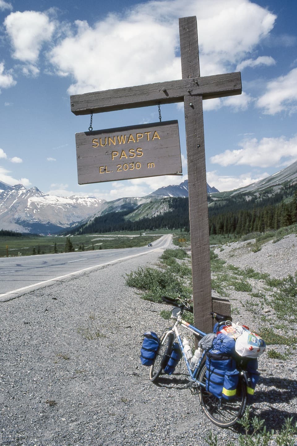
  • Sunwapta Pass: A Boundary in the Mountains
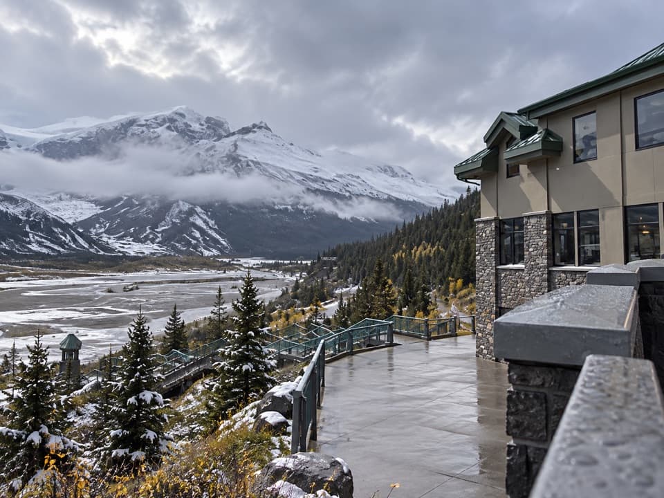
  • Columbia Icefield Centre: Food and the Skywalk
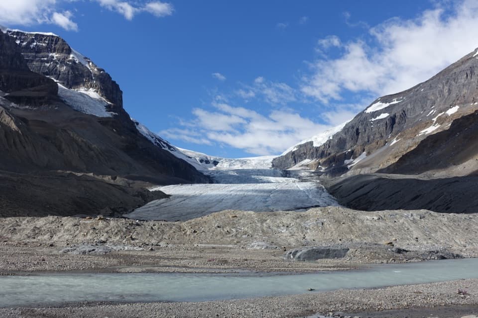
  • Athabasca Glacier: Walk the Retreat
  • 141 audio storiesacross Icefields Parkway’s roads, triggered by GPS as you drive
  • Wildlife heatmapsfor Grizzly Bear, Black Bear, Moose, and 13 more
  • Works offlinemaps, 54 trails, 57 places, and audio download before you lose signal
  • CarPlay readysimple controls built for the drive
★★★★★
“Fantastic app with many points of information… It’s great to just turn on while you’re driving and it gives you an audio tour of the national Park. We love it!!!!”
JMJamesApp Store review
Download Parkwolf on the App StoreGet Parkwolf on Google Play

4.7 from 8,600+ ratings

Trail guide

Hiking Wilcox Pass

The pass and backWilcox Pass is a signed out-and-back from the Wilcox Creek Campground entrance into open alpine…

Wilcox Pass is a signed out-and-back from the Wilcox Creek Campground entrance into open alpine country above the Columbia Icefield. The mapped route is about 6.8 km return, with about 390 m of climbing; allow two to three hours. It is moderate overall, though the climb starts steeply and the final stretch is rougher and exposed. The pass is the usual turnaround. The trail continues beyond it toward Wilcox Ridge and Mount Wilcox, but those extensions are longer experiences and are not part of this route. Published totals to the pass differ: one lists 8 km return and another 6.8 km. The mapped corridor is 3.37 km each way, so this guide uses 6.8 km for the return.

The first climb and viewpointThe trailhead is about 3.1 km south of the Icefield Centre.

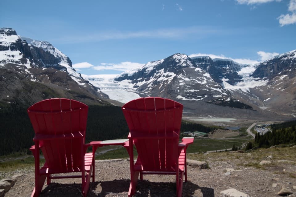
The trailhead is about 3.1 km south of the Icefield Centre. It climbs right away through forest on a visible, switchbacking path, gaining most of its height before the alpine meadows. As the trees thin, the view opens toward Athabasca Glacier and the Columbia Icefield. A first viewpoint comes before the red chairs; the published figures put the first viewpoint at 2.4 km return and the chairs at 3.4 km return. Either makes a worthwhile shorter turnaround if you want the view without the full climb. The chairs also make a natural place to stop, catch your breath and look back across the valley.

From the chairs to Wilcox PassBeyond the viewpoint, the trail carries on through open subalpine slopes and alpine meadow.

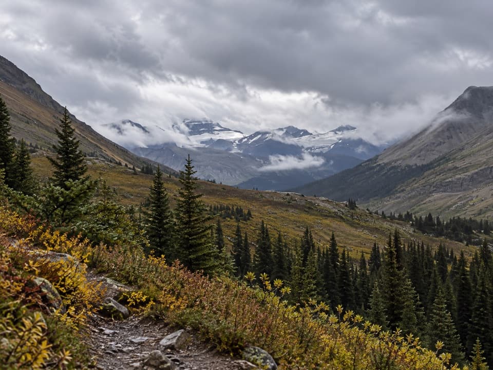
Beyond the viewpoint, the trail carries on through open subalpine slopes and alpine meadow. The walking becomes more exposed and the tread narrows over rock and uneven ground near the pass. Expect a real uphill walk rather than a smooth stroll, especially in the last section. Stay on the path: lichen and other alpine growth recover very slowly, and damage can last for years. At Wilcox Pass, the high open saddle gives a broad view across the surrounding peaks and icefields. Continuing along the ridge or toward Mount Wilcox adds distance and may involve harder terrain; it is not included in the 6.8 km return figure.

Wildflowers and wildlifeIn summer, wildflowers brighten the open meadow above the forest.

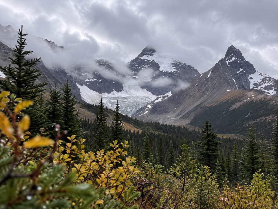
In summer, wildflowers brighten the open meadow above the forest. Bighorn sheep are a known draw; visitors also report mountain goats, and marmots and pikas live in the alpine country. Sightings are never guaranteed, so give wildlife room and keep food put away. The red chairs and the upper meadow both frame the glacier and mountain skyline well. For a photograph, include part of the rocky trail or a chair in the foreground to show how the route sits above the valley.

Weather and footingThe lower forest gives way to exposed alpine ground, where wind and cold can make the pass feel…

The lower forest gives way to exposed alpine ground, where wind and cold can make the pass feel much harsher than the climb below. Snow may linger into July, and wet sections can be muddy; check the park's current trail report before starting. Wear grippy footwear and bring warm layers, water and food, since no on-route supply was verified. Keep dogs on leash as required in the park, and carry bear spray where it is accessible. A visitor report mentions a pit toilet at the trailhead, but facility availability has not been confirmed; plan as if there may be no washroom.

Parking and accessUse the Wilcox Pass Trailhead at the Wilcox Creek Campground entrance, about 3.

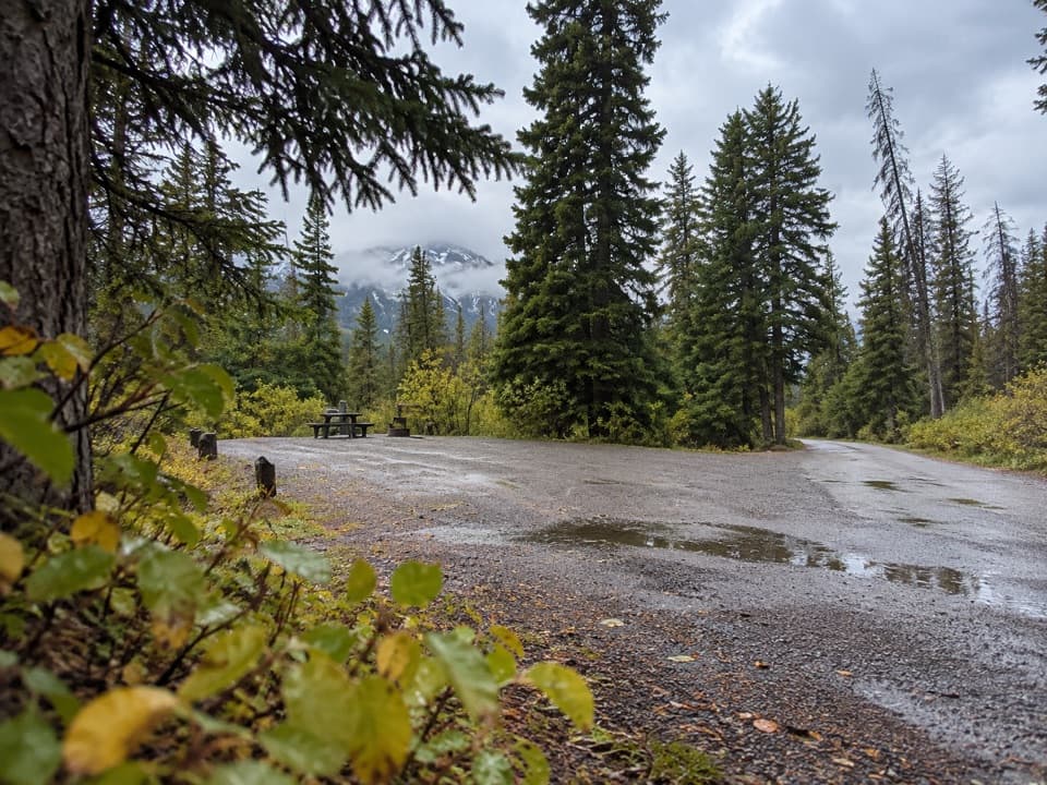
Use the Wilcox Pass Trailhead at the Wilcox Creek Campground entrance, about 3.1 km south of the Icefield Centre on the Icefields Parkway. The small lot can fill, so an early start helps; do not rely on roadside overflow. A valid Parks Canada park pass is required for a stop in Jasper National Park. There is no verified food or potable-water service on the route, so bring what you need.

Wildlife

Wildlife in Icefields Parkway

All Icefields Parkway wildlife maps

Sighting maps show where each species has been reported across Icefields Parkway. Wildlife moves, so no sighting is guaranteed.

Keep exploring

Near Wilcox Pass

See it all on the map

Trails that start nearby

Places near the trailhead

Parkwolf’s Icefields Parkway ranking

Top-rated trails in Icefields Parkway

All 54 trails
  1. 1Parker Ridge TrailModerate · 5.6 km
  2. 2Peyto Lake Lookout TrailEasy · 1.2 km
  3. 4Bow Glacier Falls TrailModerate · 9.1 km
  4. 5Helen Lake TrailModerate · 11.8 km
  5. 6Path of the Glacier TrailModerate · 1.6 km
  6. 7Emerald Loop at the Valley of the Five LakesModerate · 5.4 km

Take Parkwolf to Icefields Parkway.

The audio tour guide for the drive, plus offline maps, trails, and wildlife heatmaps for when the signal drops.

4.7 from 8,600+ ratings

Download Parkwolf on the App StoreGet Parkwolf on Google Play