Winter access
The historic site is listed as open year-round, though snow can make it inaccessible in winter. Check road conditions before driving the parkway in winter.
Scenic pullout · Jasper National Park
A quick Icefields Parkway stop for mountain views and fur-trade history.


Overview
Athabasca Pass Viewpoint is a roadside lookout on the Icefields Parkway, about 26 km south of Jasper. It makes a useful pause on the long drive: take in the mountain-and-valley view, then read the history panels. Parking and restrooms are listed at the stop.
 Parkwolf’s verdictWorth the short stop
Map
Plan your stop

The highest, rockiest slopes around here are a summer buffet for grizzly bears.
Jasper Tour Guide
Parkwolf is a GPS audio tour guide for Jasper National Park. As you drive, it chimes in with what’s ahead: hidden gems, upcoming stops, history, geology, and wildlife, right through your car’s speakers.
See the Jasper audio tourRecorded for this place
Athabasca Pass Viewpoint: The Historic Crossing“Up ahead is Athabasca Pass Viewpoint, a roadside stop for mountain views and the story of an old crossing. The remote pass itself is elsewhere in the backcountry.”
Plays as you drive up to Athabasca Pass Viewpoint in the Parkwolf Jasper Tour Guide.
More stories near here in the app
“Fantastic app with many points of information… It’s great to just turn on while you’re driving and it gives you an audio tour of the national Park. We love it!!!!”
Guide
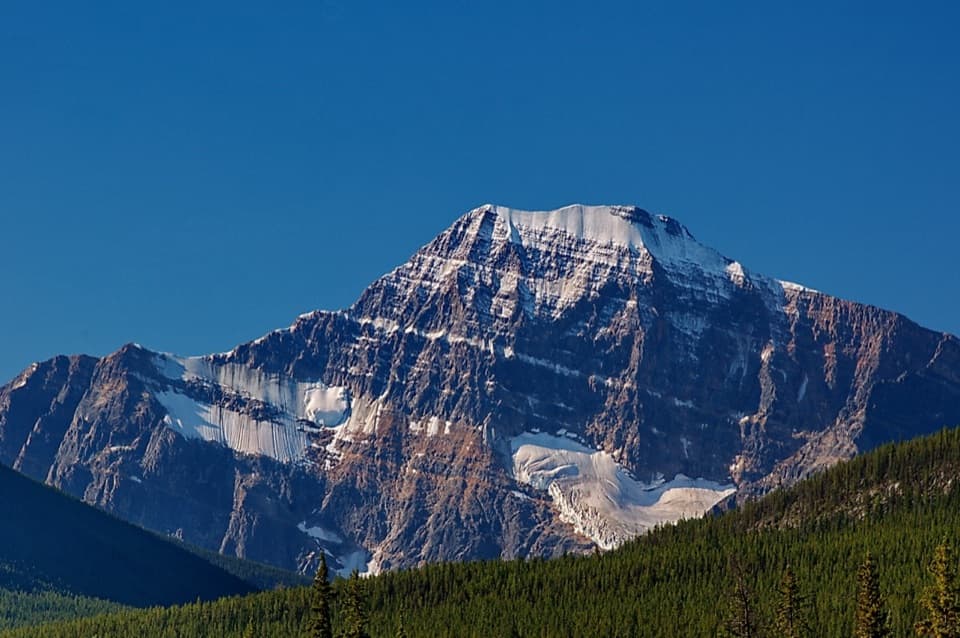
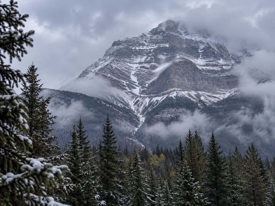
The main view is a steep mountain face above a forested valley. A wide phone frame can hold the snow-cut gullies and tree line together; low cloud or rain can hide the mountain.
Indigenous people have traveled these mountains for millennia. With their guidance, David Thompson surveyed mountain passes. From 1811 through the mid-1850s, Athabasca Pass carried the main fur-trade route across the mountains to the Pacific Coast.
This roadside viewpoint interprets the historic corridor; it is not the remote backcountry pass itself. The interpretive boards may leave the pass's exact position hard to pick out, so treat this as a landscape-and-history stop rather than an arrival at the pass.
Wildlife
 175 sightingsGrizzly BearMost seen around 8 PMSighting map
 43 sightingsCaribouMost seen around 7 AMSighting map
 41 sightingsGray WolfMost seen around 6 AMSighting map
 12 sightingsCanada LynxMost seen around 8 PMSighting map
 320 sightingsMooseMost seen around 6 AMSighting map
 1,048 sightingsElkMost seen around 7 AMSighting map
Sighting maps show where each species has been reported across Jasper. Wildlife moves, so no sighting is guaranteed.
Keep exploring
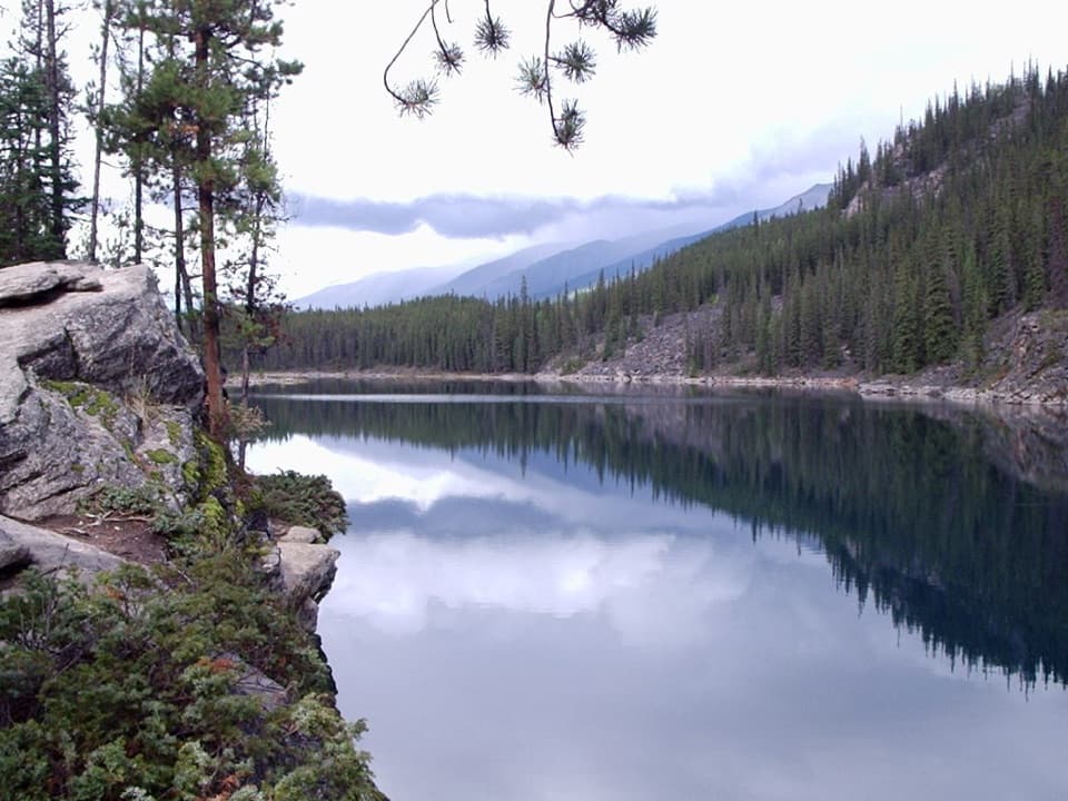 EasyHorseshoe Lake Trail1.1 km · 30 min · 2.5 km awayA quick loop beneath steep cliffs and clear lake water.
 EasyAthabasca Falls Trail0.8 km · 30 min · 5.8 km awayWatch a glacier-fed river carve a canyon below the falls.
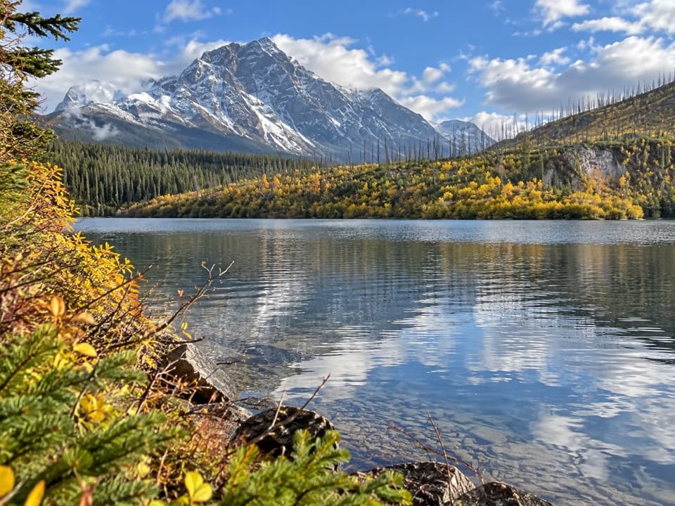 EasyMoab Lake Spur Trail1.3 km · 30 min · 7.6 km awayA short, faint spur leaves the Athabasca Pass trail for Moab Lake.
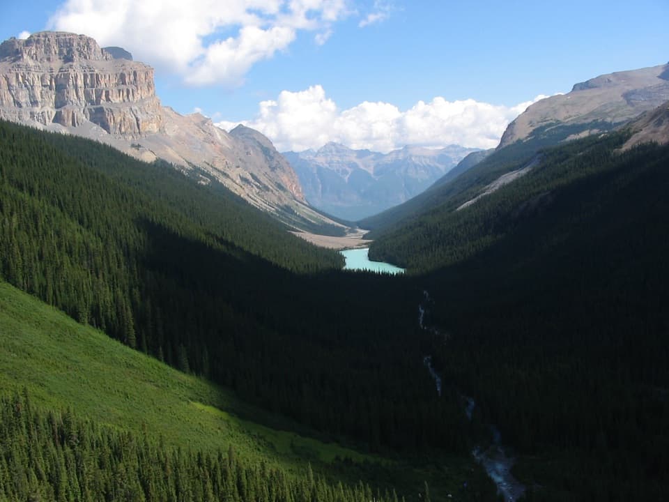 ChallengingFryatt Valley Trail44 km · 20 hr · 7.8 km awayMostly flat forest miles lead to a steep headwall and hut.
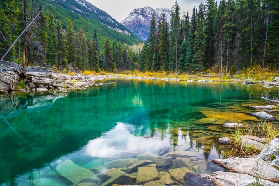 Sight · 2.2 km awayHorseshoe LakeClear water and rocky ledges, reached by a short shore walk.
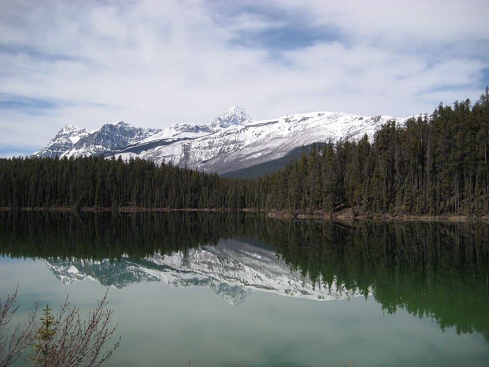 Picnic area · 3.3 km awayLeach Lake Picnic SiteA peaceful picnic pause beside Leach Lake on Highway 93A.
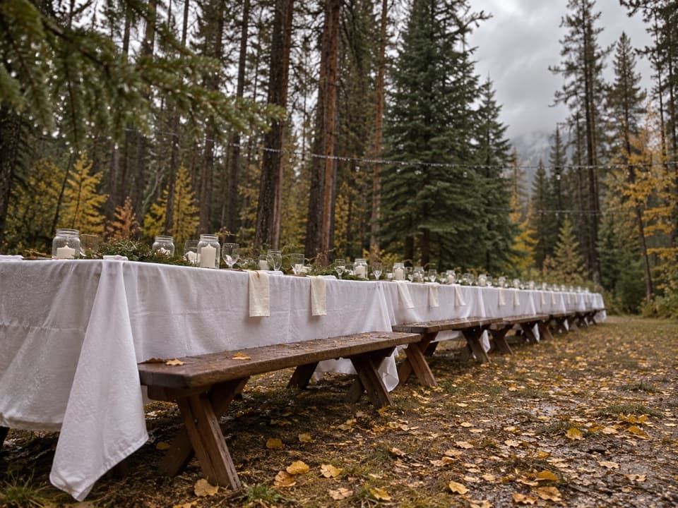 Campground · 3.7 km awayWhirlpool Group CampgroundA designated group campground in the Whirlpool area.Sight · 5.7 km awayAthabasca FallsA short walk to a waterfall that roars through a rock canyon.
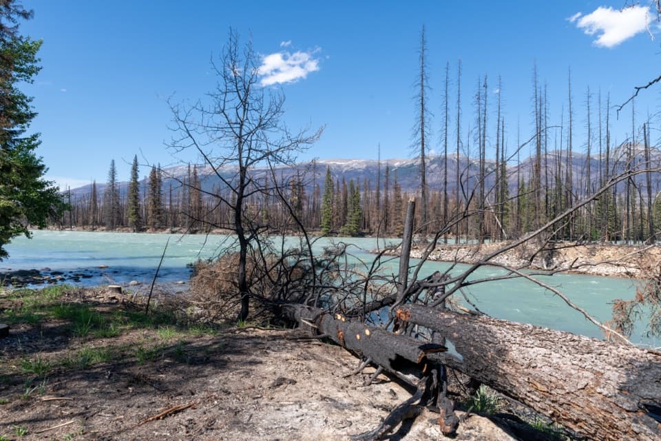 Picnic area · 5.8 km awayMeeting of the Waters Picnic SiteA picnic break where the Whirlpool meets the Athabasca.
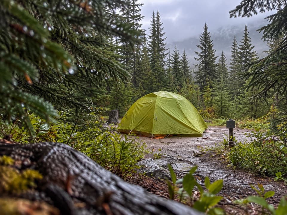 Campground · 7.3 km awaySnowbowl Backcountry CampgroundA sheltered meadow overnight on the long Skyline route.
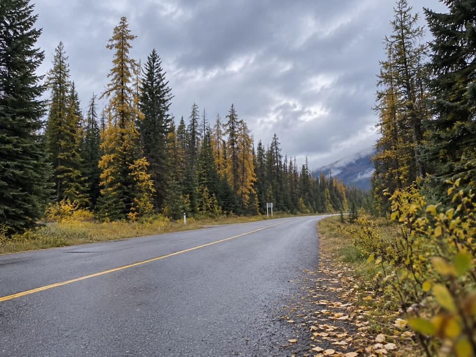 Picnic area · 7.5 km awayOtto’s Cache Picnic SiteA straightforward picnic break off Highway 93A.
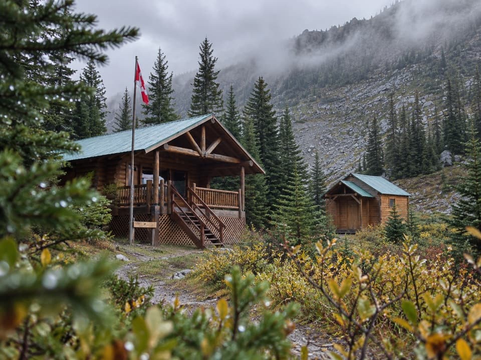 Lodging · 7.8 km awayShovel Pass LodgeA catered cabin stay on Jasper's Skyline Trail.
Parkwolf’s Jasper ranking
The audio tour guide for the drive, plus offline maps, trails, and wildlife heatmaps for when the signal drops.