Parking
From Wabasso Road, take the unpaved Moab Lake Road for 6.8 km to its end. Road-end parking is about 0.23 mile from the spur junction.
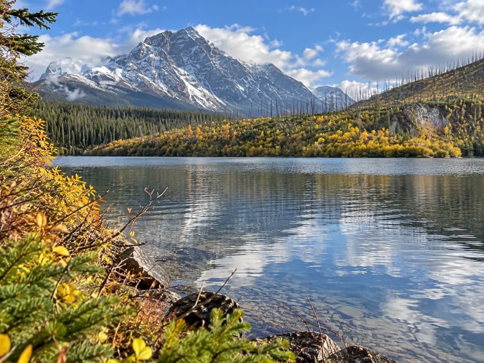
Jasper National Park, AB
A short, faint spur leaves the Athabasca Pass trail for Moab Lake.
Overview
Map & elevation
Plan your hike

The highest, rockiest slopes around here are a summer buffet for grizzly bears.
Jasper Tour Guide
Parkwolf is a GPS audio tour guide for Jasper National Park. As you drive, it chimes in with what’s ahead: hidden gems, upcoming stops, history, geology, and wildlife, right through your car’s speakers.
See the Jasper audio tourRecorded for this trailhead
Moab Lake: The Short Road-End Walk“You're nearing the end of Moab Lake Road, where a short walk leads to the lake. If you've come this far and want to stretch your legs, allow about half an hour for the point eight mile return walk from parking.”
Plays as you drive up to this trailhead in the Parkwolf Jasper Tour Guide.
More stories near here in the app
“Fantastic app with many points of information… It’s great to just turn on while you’re driving and it gives you an audio tour of the national Park. We love it!!!!”


Trail guide
Moab Lake Spur Trail is a short out-and-back from the end of Moab Lake Road to the lake, branching from the Athabasca Pass trail. From road-end parking, the full walk is about 0.8 miles round trip: roughly 0.23 mile on the access track to the junction, then about 0.17 mile along the spur each way. Allow around half an hour with a short stop at the water. It suits anyone already at this remote end of the road who wants a quick lake visit; it is not a substantial hike by itself.
Parks Canada identifies this as trail 115a, a hike-and-bike spur. The connector drops from the Athabasca Pass route to the lakeshore, then returns the same way. It is faint and can be hard to follow, so look carefully for the junction instead of expecting a wide, obvious path. The return adds the short climb back to the access track.
The longer ski outings begin at the Whirlpool ski hub, not the road-end parking. They include a 7 km return to the red chairs and a 15.2 km route to a Moab Lake viewpoint. Those are different winter itineraries; their distances and turnarounds do not describe this summer spur.
From Wabasso Road, follow 6.8 km of unpaved Moab Lake Road to its end. The parking area is a short walk from the spur junction. Dogs are permitted on the Athabasca Pass route and must stay leashed on Jasper trails.
Wildlife
 175 sightingsGrizzly BearMost seen around 8 PMSighting map
 43 sightingsCaribouMost seen around 7 AMSighting map
 41 sightingsGray WolfMost seen around 6 AMSighting map
 12 sightingsCanada LynxMost seen around 8 PMSighting map
 320 sightingsMooseMost seen around 6 AMSighting map
 1,048 sightingsElkMost seen around 7 AMSighting map
Sighting maps show where each species has been reported across Jasper. Wildlife moves, so no sighting is guaranteed.
Keep exploring
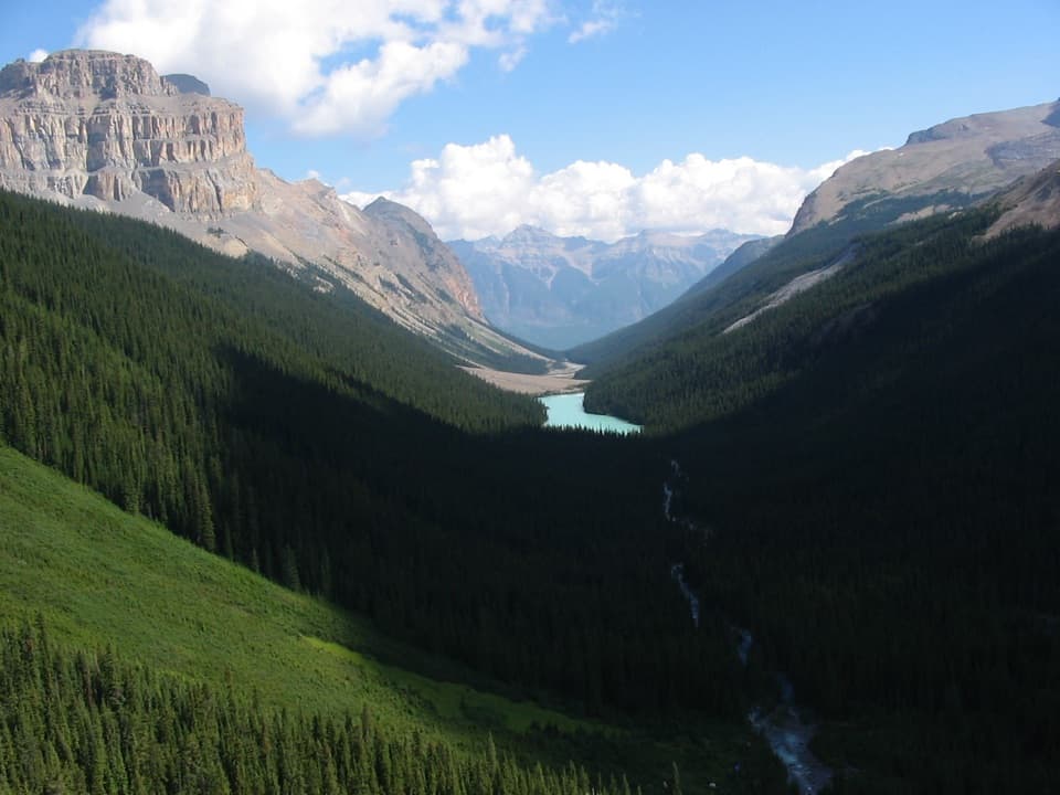 ChallengingFryatt Valley Trail44 km · 20 hr · 4.3 km awayMostly flat forest miles lead to a steep headwall and hut.
 EasyAthabasca Falls Trail0.8 km · 30 min · 4.9 km awayWatch a glacier-fed river carve a canyon below the falls.
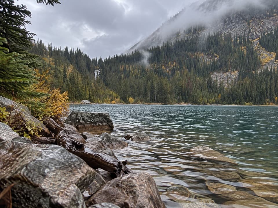 ChallengingGeraldine Lakes Trail12.4 km · 5.5 hr · 5.3 km awayA lake walk that earns its waterfall with a boulder climb.
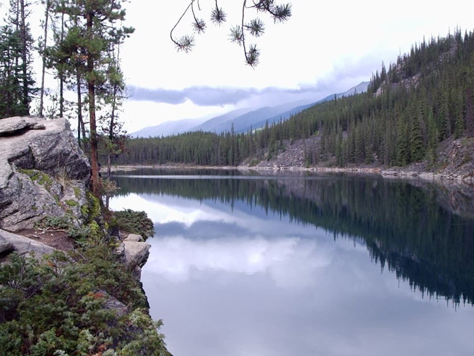 EasyHorseshoe Lake Trail1.1 km · 30 min · 6.5 km awayA quick loop beneath steep cliffs and clear lake water.
 ModerateCavell Meadows Trail6.4 km · 4 hr · 7.1 km awayRocky climb, alpine flowers, and Angel Glacier from above.
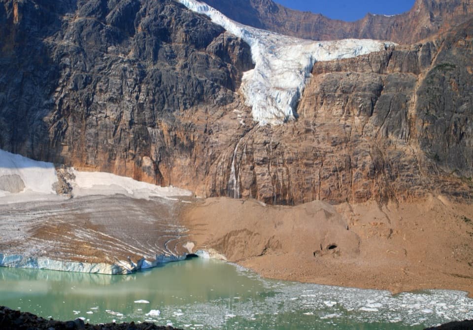 ModeratePath of the Glacier Trail1.6 km · 1 hr · 7.1 km awayA short uphill walk to Cavell Pond and Angel Glacier views.
 ChallengingTonquin Valley Trail43.1 km · 2.5 days · 8 km awayA muddy, multi-day traverse beneath the Ramparts
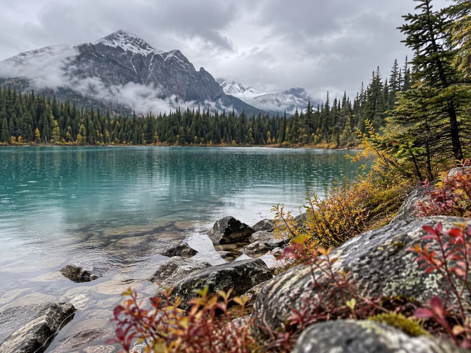 EasyCavell Lake Trail0.9 km · 30 min · 8 km awayA quick bridge walk opens onto Cavell Lake and the surrounding peaks.
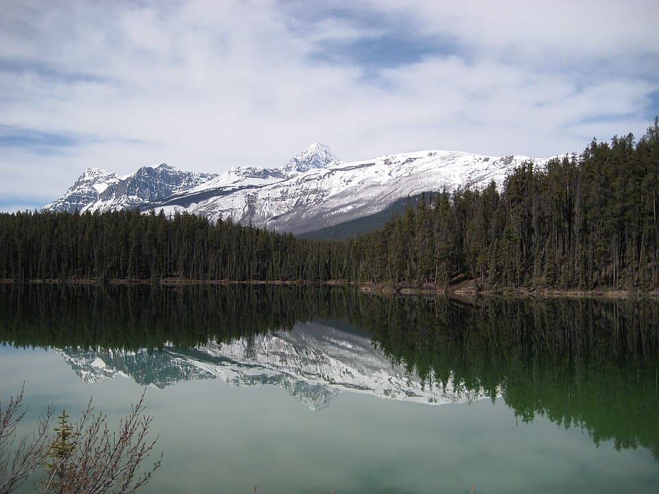 Picnic area · 4.4 km awayLeach Lake Picnic SiteA peaceful picnic pause beside Leach Lake on Highway 93A.Sight · 4.8 km awayAthabasca FallsA short walk to a waterfall that roars through a rock canyon.
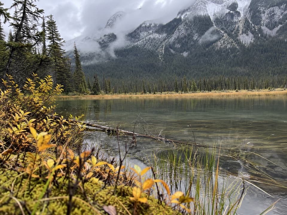 Campground · 5.4 km awayWhirlpool Backcountry CampgroundFour tent sites above a river channel, six kilometres in.
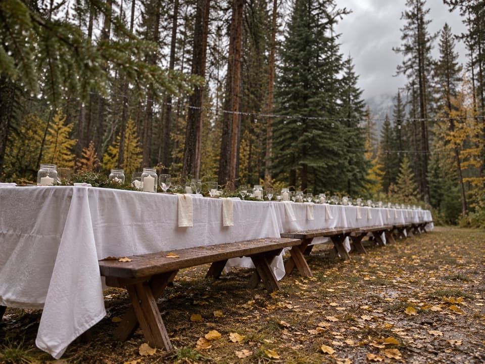 Campground · 6.5 km awayWhirlpool Group CampgroundA designated group campground in the Whirlpool area.
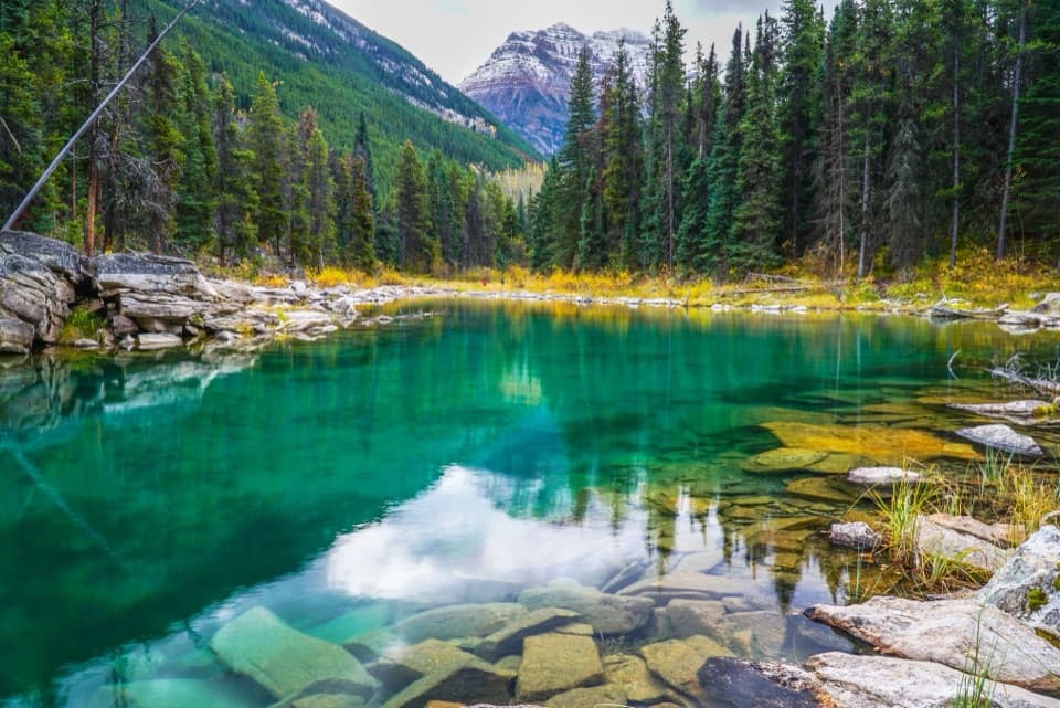 Sight · 6.8 km awayHorseshoe LakeClear water and rocky ledges, reached by a short shore walk.
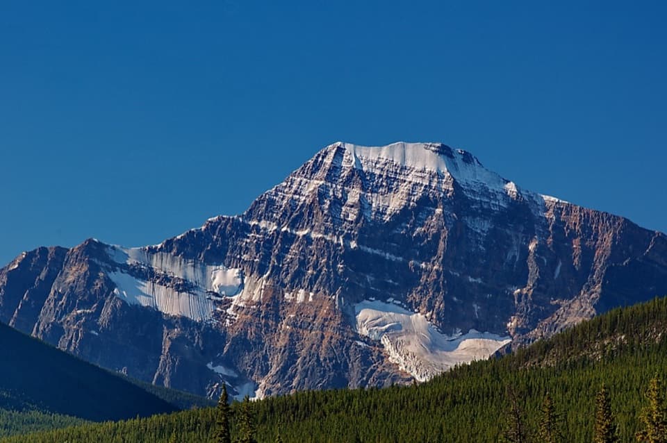 Sight · 7.2 km awayMount Edith CavellClose views of Cavell's north face, Angel Glacier and its pond.
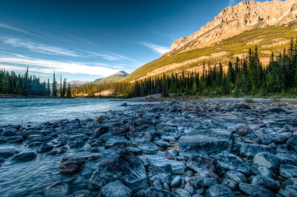 Campground · 7.3 km awayKerkeslin CampgroundA shady camp beside the Athabasca, with riverside pitches.
 Picnic area · 7.3 km awayMeeting of the Waters Picnic SiteA picnic break where the Whirlpool meets the Athabasca.
Parkwolf’s Jasper ranking

The audio tour guide for the drive, plus offline maps, trails, and wildlife heatmaps for when the signal drops.



