Parking
Use the Athabasca Falls day-use parking area at the junction of Highways 93 and 93A, about 31 km south of Jasper. The marked path begins from the day-use area.

Jasper National Park, AB
Watch a glacier-fed river carve a canyon below the falls.
Photo: Martin Kraft, CC BY-SA 3.0, via Wikimedia Commons
Overview
Map & elevation
Plan your hike

The highest, rockiest slopes around here are a summer buffet for grizzly bears.
Jasper Tour Guide
Parkwolf is a GPS audio tour guide for Jasper National Park. As you drive, it chimes in with what’s ahead: hidden gems, upcoming stops, history, geology, and wildlife, right through your car’s speakers.
See the Jasper audio tourRecorded for this trailhead
Athabasca Falls and the Lower Gorge“Athabasca Falls is coming up, and I'd stop for the force of the river squeezing through the canyon. The drop is only twenty-three metres, but the roar and spray make the impression.”
Plays as you drive up to this trailhead in the Parkwolf Jasper Tour Guide.
More stories near here in the app
“Fantastic app with many points of information… It’s great to just turn on while you’re driving and it gives you an audio tour of the national Park. We love it!!!!”


Trail guide
Athabasca Falls Trail is a short developed out-and-back from the day-use area to the lower canyon and back. The main route is about 0.5 mile (0.8 km) round trip and takes around 30 minutes with stops at the viewpoints. The first view comes quickly; continue beyond it if you have time for a bridge crossing and the stairway into the lower gorge. Side paths reach separate platforms, so exploring every branch adds some walking.
Start from the day-use lot at the junction of Highways 93 and 93A. A paved walkway leads to the top of the falls and a bridge over the narrow canyon. Short branches reach views along the brink. The lower route passes beneath Highway 93A, then drops down steps between curved rock walls to the river and a final canyon lookout. The mapped route follows the main corridor to that lower viewpoint; return to the parking area along the same path. The staircase is the main effort, and you will climb it on the way back.
The falls drop 23 metres over hard quartzite into softer limestone. The Athabasca River has shaped potholes, grooves and a short canyon below the ledge; spinning sand and gravel keep wearing the rock. The narrow gorge makes the scale easiest to read from the bridge and lower viewpoints. For a photo, keep a band of layered rock in the frame with the water so the canyon does not become a white-water close-up.
The Athabasca flows from glaciers on the Columbia Icefield and is Jasper's largest river system. David Thompson travelled the river in 1810 while seeking a fur-trade route to the Pacific; he found Athabasca Pass in early January 1811. In 1862, Overlanders followed the river toward the Cariboo Gold Rush, and two national railways came about 30 years later. The river was designated a Canadian Heritage River in 1989.
Dogs are allowed on the trail. Mist from the falls leaves a thin slippery film on nearby rocks, and the water and canyon edges are dangerous beyond the railings. Stay on the paths and behind the barriers. The upper walkway is paved; the lower viewpoint route uses stairs.
Wildlife
 175 sightingsGrizzly BearMost seen around 8 PMSighting map
 43 sightingsCaribouMost seen around 7 AMSighting map
 41 sightingsGray WolfMost seen around 6 AMSighting map
 12 sightingsCanada LynxMost seen around 8 PMSighting map
 320 sightingsMooseMost seen around 6 AMSighting map
 1,048 sightingsElkMost seen around 7 AMSighting map
Sighting maps show where each species has been reported across Jasper. Wildlife moves, so no sighting is guaranteed.
Keep exploring
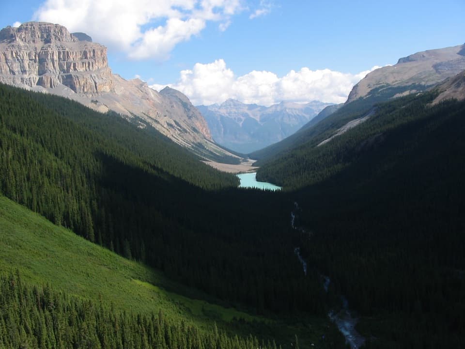 ChallengingFryatt Valley Trail44 km · 20 hr · 2.2 km awayMostly flat forest miles lead to a steep headwall and hut.
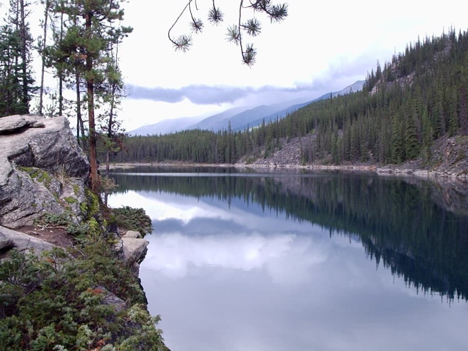 EasyHorseshoe Lake Trail1.1 km · 30 min · 3.4 km awayA quick loop beneath steep cliffs and clear lake water.
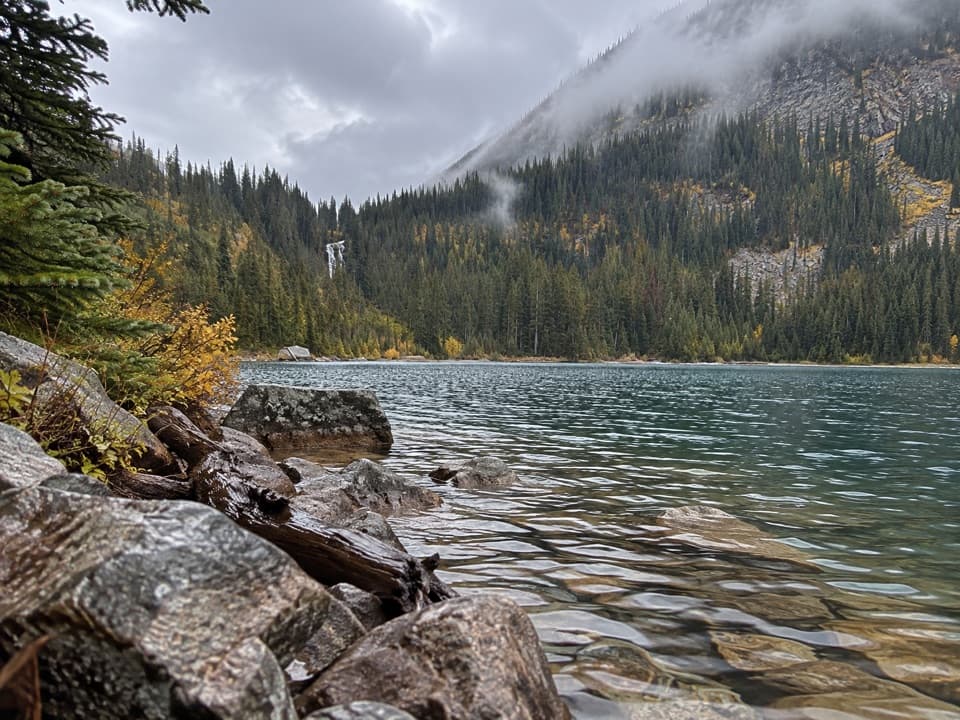 ChallengingGeraldine Lakes Trail12.4 km · 5.5 hr · 4.7 km awayA lake walk that earns its waterfall with a boulder climb.
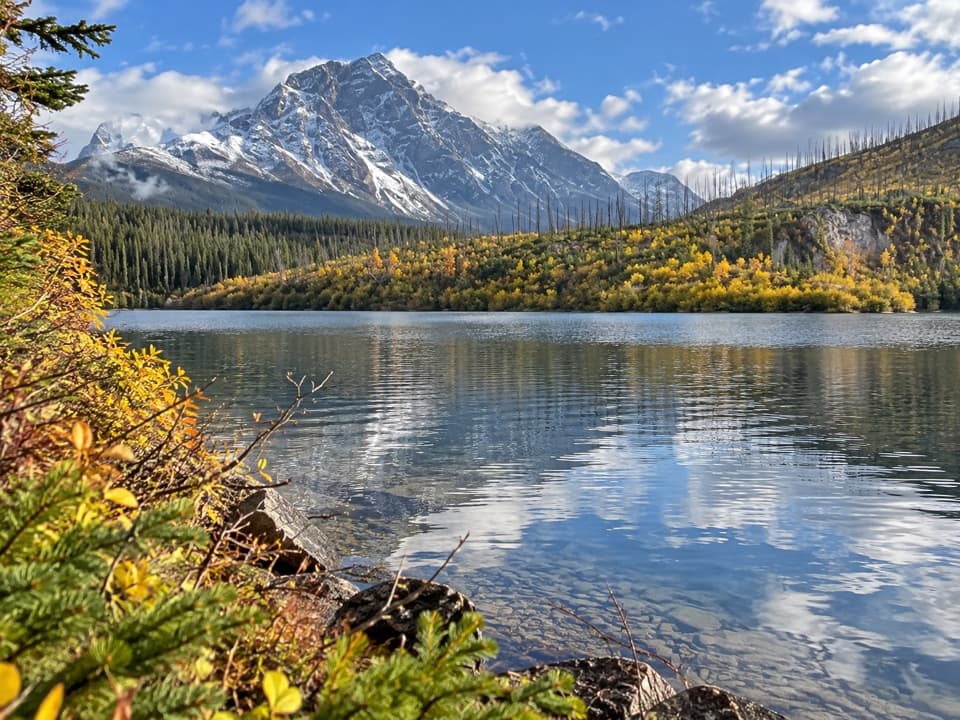 EasyMoab Lake Spur Trail1.3 km · 30 min · 4.9 km awayA short, faint spur leaves the Athabasca Pass trail for Moab Lake.
 ModerateCavell Meadows Trail6.4 km · 4 hr · 11.9 km awayRocky climb, alpine flowers, and Angel Glacier from above.
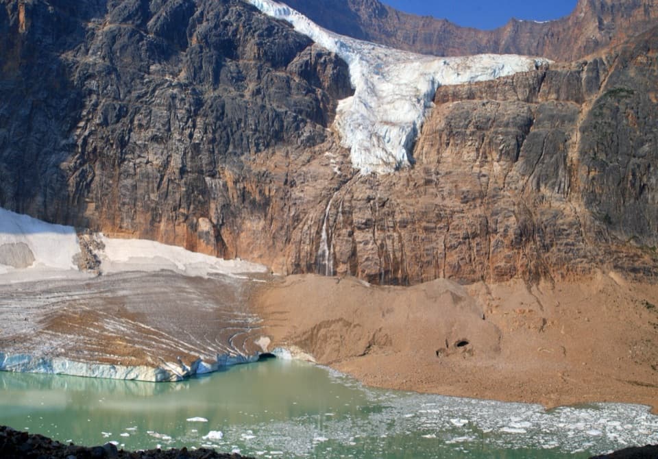 ModeratePath of the Glacier Trail1.6 km · 1 hr · 11.9 km awayA short uphill walk to Cavell Pond and Angel Glacier views.
 ChallengingTonquin Valley Trail43.1 km · 2.5 days · 12.6 km awayA muddy, multi-day traverse beneath the Ramparts
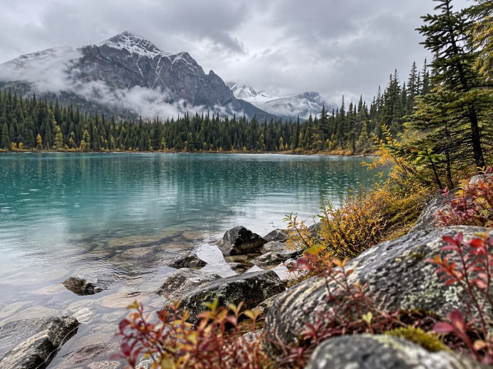 EasyCavell Lake Trail0.9 km · 30 min · 12.6 km awayA quick bridge walk opens onto Cavell Lake and the surrounding peaks.Sight · At the trailheadAthabasca FallsA short walk to a waterfall that roars through a rock canyon.
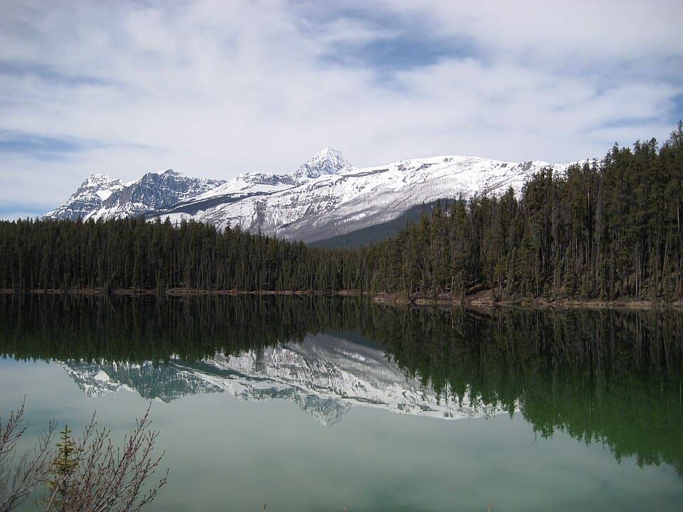 Picnic area · 3.4 km awayLeach Lake Picnic SiteA peaceful picnic pause beside Leach Lake on Highway 93A.
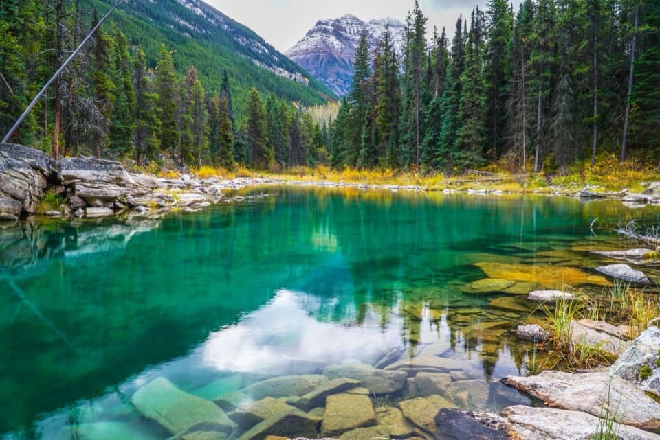 Sight · 3.8 km awayHorseshoe LakeClear water and rocky ledges, reached by a short shore walk.
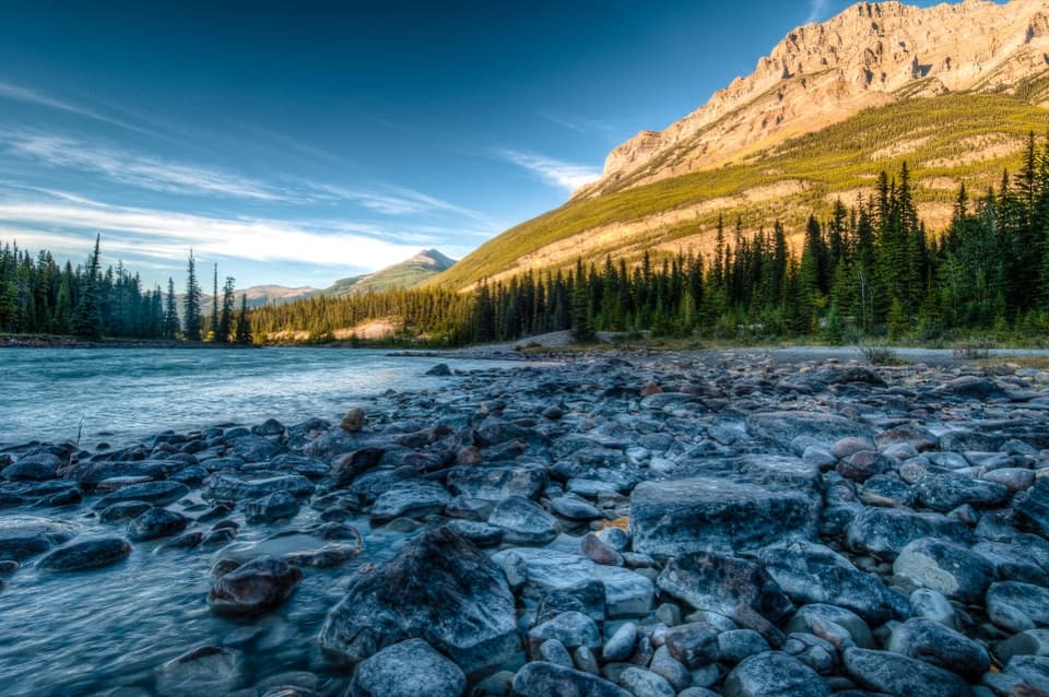 Campground · 3.9 km awayKerkeslin CampgroundA shady camp beside the Athabasca, with riverside pitches.
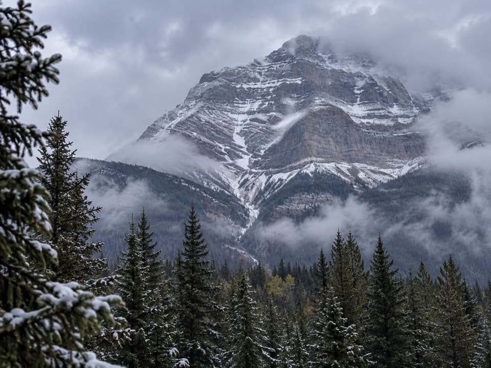 Scenic pullout · 5.8 km awayAthabasca Pass ViewpointA quick Icefields Parkway stop for mountain views and fur-trade history.
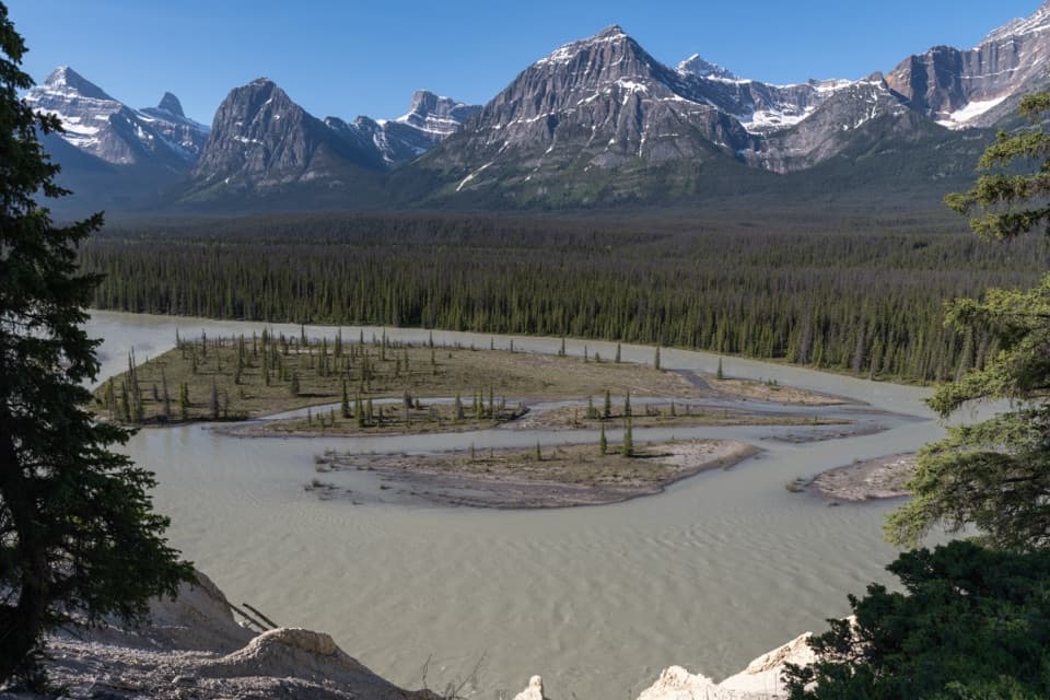 Scenic pullout · 6 km awayGoats and Glaciers ViewpointA quick paved stop for braided river views and possible goats.
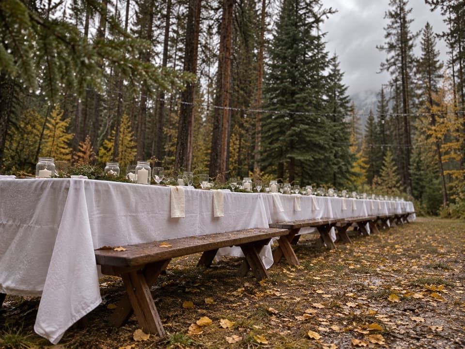 Campground · 7.3 km awayWhirlpool Group CampgroundA designated group campground in the Whirlpool area.
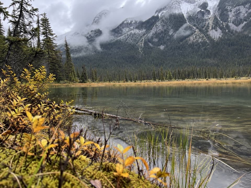 Campground · 8.6 km awayWhirlpool Backcountry CampgroundFour tent sites above a river channel, six kilometres in.
Parkwolf’s Jasper ranking

The audio tour guide for the drive, plus offline maps, trails, and wildlife heatmaps for when the signal drops.



