
Place
Challenging
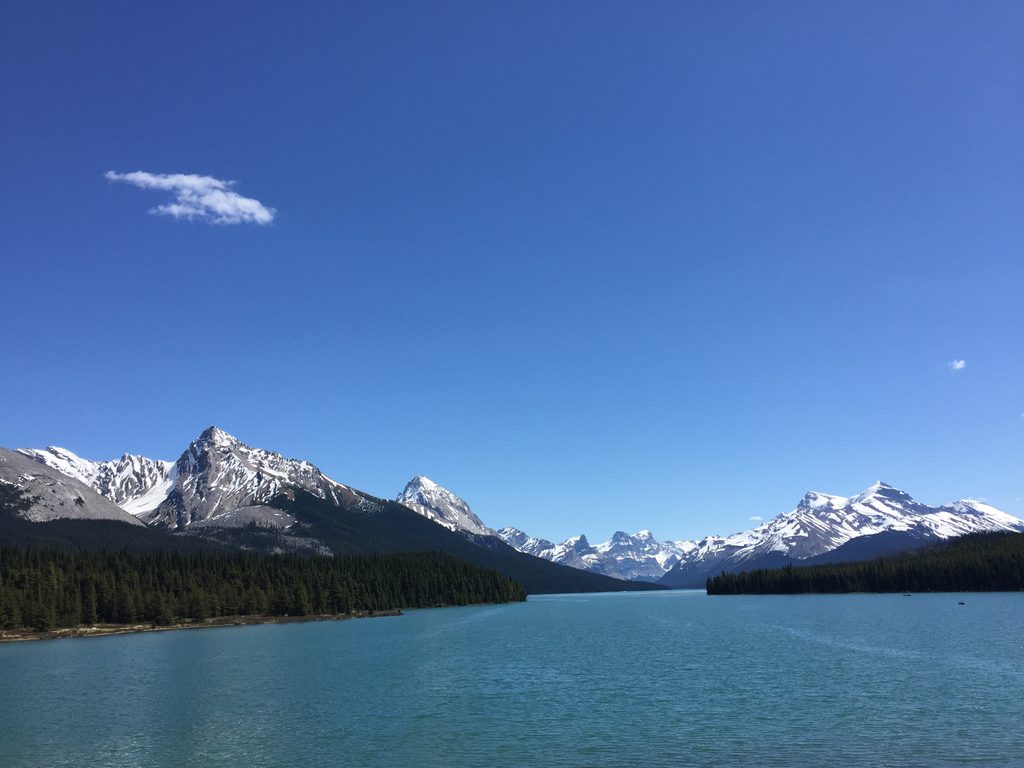
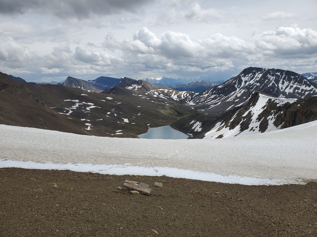
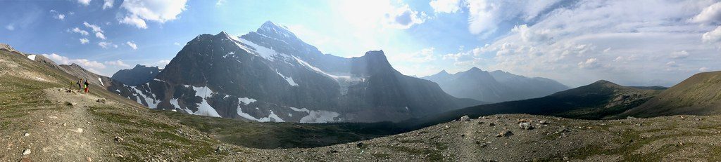
If you’re after Jasper’s big-mountain drama without the front-country crowds, Fryatt Valley delivers. This is a true backcountry classic: forest approach, a wide U-shaped valley with sweeping views, a sapphire lakeshore, and a final, steep headwall leading to the Sydney Vallance (ACC) Hut. It’s long, it’s demanding, and it’s worth every step if you want solitude and a full-value alpine experience.
The standard out-and-back to the hut is about 44 km/27.3 miles total. The first ~12 km to Lower Fryatt Campground follow an old fire road—flat, efficient, and often described as dull. Past the river crossing, the trail climbs through forest into an open subalpine valley with expanding views; Brussels Campground sits in this scenic stretch. About 2 km later the path traces Fryatt Lake’s shoreline to the base of the headwall (around 21.1 km from the trailhead). A very steep, marked route then gains roughly 200 m up the headwall into the upper valley and the Sydney Vallance Hut.
Reach the trailhead via Geraldine Road (gravel). It can be rough, subject to flooding, and typically closes November–April. Parking is limited and can fill; high-clearance vehicles are a safer bet, and access can be restricted during operations in the area—always check current conditions. The valley reopened for summer 2025 after the 2024 wildfire; expect some visual changes and verify any residual advisories before you go.
July–September is the sweet spot for dry trail, wildflowers, and the best shot at clear views. Earlier season (May/June) can carry lingering snow and wet sections, and the access road often remains closed through spring. Start early for cooler temperatures and calm morning reflections on Fryatt Lake; weekdays are quieter.
For experienced backpackers, Fryatt is an underrated gem: a big backcountry journey with an elegant progression of landscapes and a dramatic finale at the headwall and hut. If you want a taste without the full commitment, turn around at Lower Fryatt for an easier day, or base at Brussels to soak up the open-valley scenery and skip the headwall.
Small trailhead lot off Geraldine Road (gravel). Follow a short side road (~2 km) to the parking area; limited spaces, rough surface, and seasonal closure of Geraldine Road (typically Nov–Apr).
Steep headwall requires staying exactly on the marked route; bear activity; no cell service; Geraldine Road can be rough, flood-prone, and seasonally closed. Trail reopened for 2025—check for any residual wildfire advisories.
Place
Place
Place
Place
Challenging
Moderate
Moderate
Challenging

Parkwolf Tour Guide
