
Place · 0 mi away
Easy
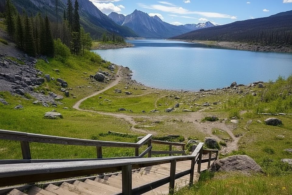
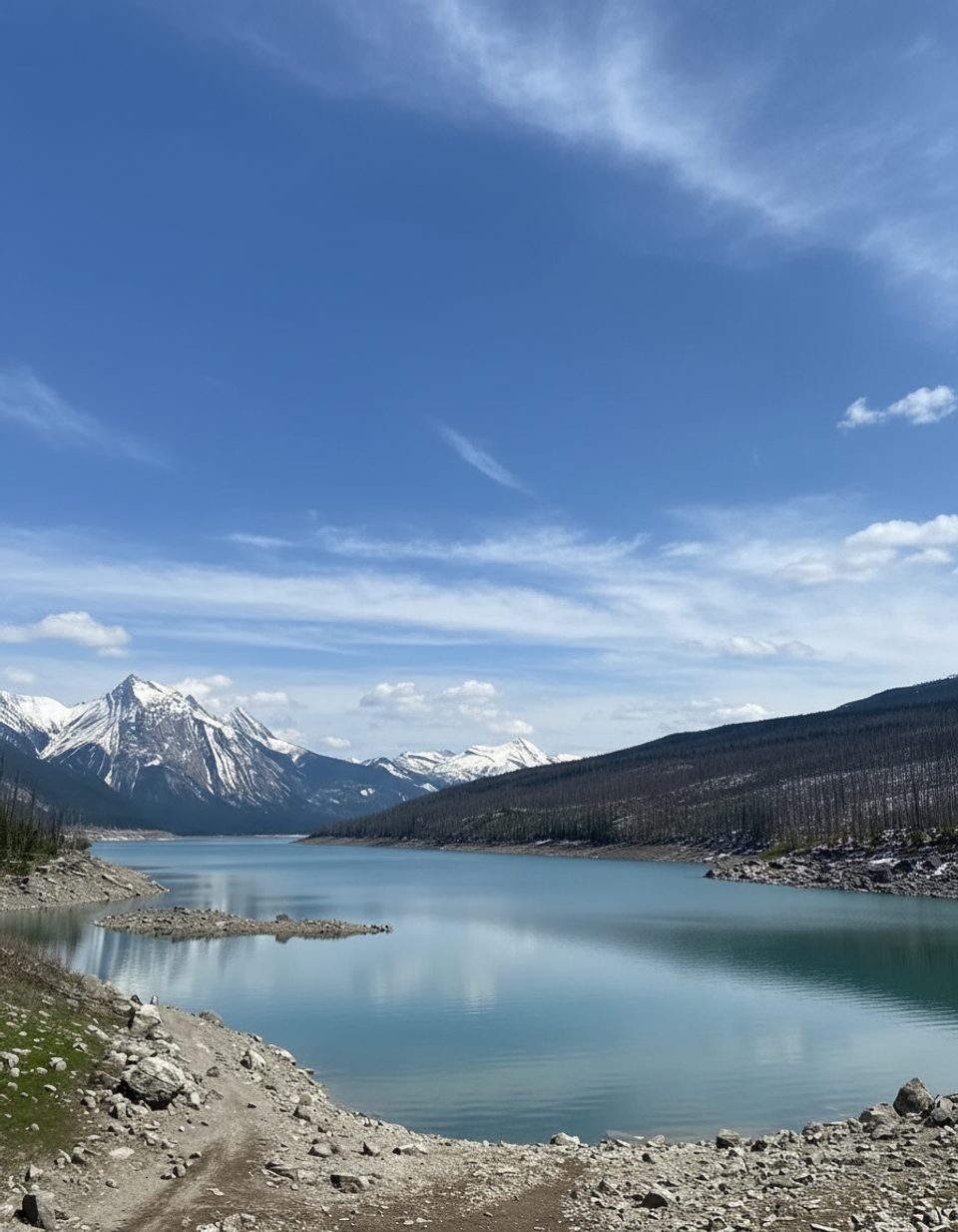
This is a laid‑back shoreline stroll with huge Maligne Valley views. From pullouts along Maligne Lake Road, short paths and stairs drop to the water’s edge. Plan on a very short, informal out‑and‑back—roughly up to 0.8 miles total depending on how far you wander—on natural lakeshore. It’s easy walking with minimal elevation change and plenty of room to poke around the rocks when water levels are low.
Medicine Lake is the park’s “disappearing lake.” An underground karst drainage swallows the Maligne River’s flow through sinkholes and caves, so the lake swells with snowmelt in spring/summer and recedes dramatically by fall. Interpretive signs at pullouts explain the hydrology and geology—and the Indigenous origins of the name “Medicine,” given the lake’s seemingly magical vanishing act.
For photos, aim for early or late light. Expect quick visits: most people spend 15–30 minutes unless they linger for pics or wildlife viewing.
This is a viewpoint‑centric ramble, not a signed loop. It shines for quick scenery stops, geology nerding, and flexible shore wandering. If you want a big, immersive hike, keep driving to longer Maligne Valley trails; treat this as a must‑see stop en route.
Multiple pullouts line the lake. One just after the winter road‑closure gates has stairs to the shore; another before the gates usually has more parking and easier lake access. Bring bear spray as you would anywhere in Jasper. Canoe/kayak launches are possible from the shore when water is high enough (rentals are in Jasper town). Check for seasonal closures—bald eagle nesting can trigger area restrictions.
Late spring through mid‑summer for full‑lake views and reflections; late afternoon or early morning for softer light and calmer wind. Fall is great for learning the geology when the shoreline opens up—just expect muddier footing and a less “postcard” look.
Roadside pullouts along Maligne Lake Road at Medicine Lake. One pullout just after the winter road-closure gates has stairs down; another before the gates offers easier shore access and more parking.
Shoreline conditions change with water level; expect uneven rocks or slick mud when the lake recedes. Watch for seasonal closures (eagle nesting). Carry bear spray and give wildlife space.
Place · 0 mi away
Place · 2.4 mi away
Place · 4.5 mi away
Place · 6 mi away
Moderate · 3.8 mi away
Moderate · 3.8 mi away
Challenging · 8.7 mi away
Challenging · 8.7 mi away

Parkwolf Tour Guide
