
Place · 0.2 mi away
Challenging
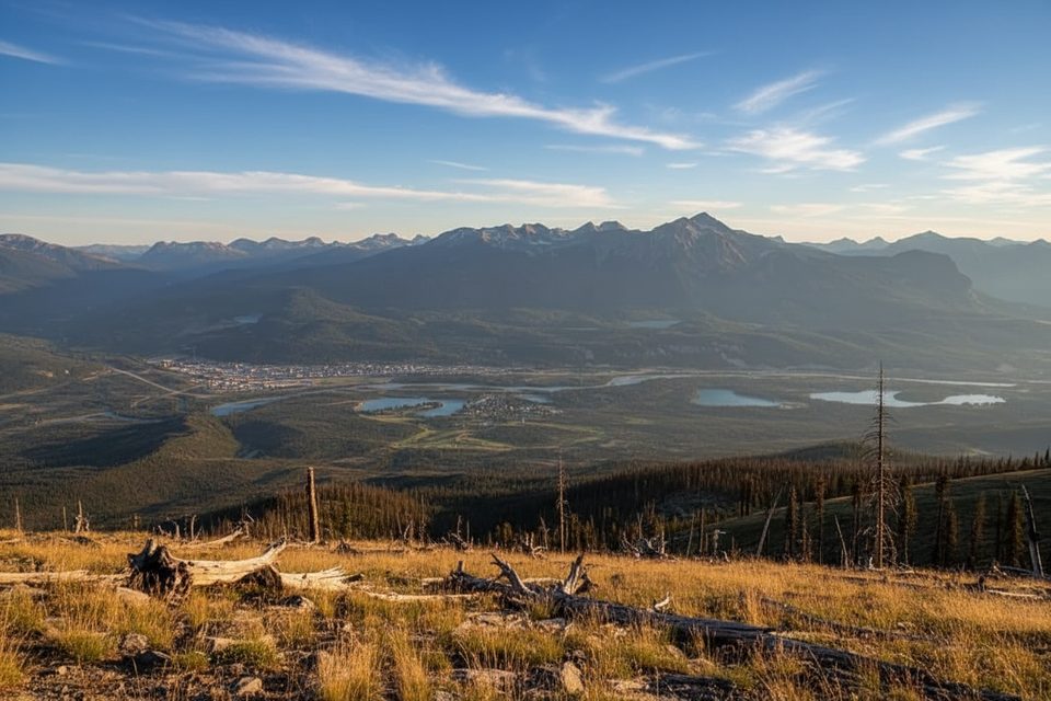
This is a wide, utilitarian climb up an old service road that doubles as the end of the Skyline Trail. It’s not technical, but it is relentless: a steady grade through dense forest for most of the way, then big payoff views near the Signal area over Jasper, the Athabasca Valley, and surrounding peaks. As a standalone outing, it’s about 11.5 miles total (out-and-back). Expect a workout rather than a varied alpine ramble.
The grade is consistent and the tread is a dirt/gravel road, making navigation straightforward for both hikers and mountain bikers. It’s more about stamina than skill. Above treeline, wind and weather exposure kick in, and there’s little to no water along this road. If you’re wrapping up the Skyline, this road is a long, sustained descent that can pound tired legs.
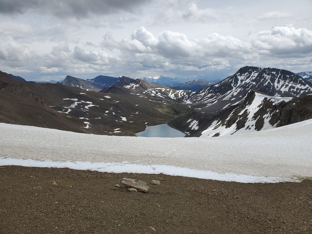
The first 8–9 km are mostly enclosed forest with minimal views. Near the top, trees thin and the vista opens wide—classic Jasper panoramas. It’s historic, too: this route accessed the old Signal fire lookout (the structure is gone, but the viewpoint remains).
Summer is the sweet spot—late June through September—when snow has cleared and you actually get those upper views. Early summer can still hold patches higher up. Winter use shifts to skiing for locals headed to the Signal area.
Access from Maligne Lake Road east of Jasper; start near the junction with Trail 7 at the Signal Mountain Fire Road access. Park legally along the road where permitted.
Mixed-use with mountain bikes, no water on route, rapid weather shifts near the top, and periodic closures for wildfire/wildlife—check current conditions. Sensitive caribou habitat; follow posted restrictions.
Place · 0.2 mi away
Place · 0.3 mi away
Place · 0.4 mi away
Place · 0.4 mi away
Challenging · 0 mi away
Moderate · 0.5 mi away
Easy · 0.8 mi away
Moderate · 1.8 mi away

Parkwolf Tour Guide
