Parking
Park at the Jacques Lake Trailhead on Maligne Lake Road, at the east end of Medicine Lake.

Jasper National Park, AB
A gentle forest walk to Beaver Lake and the quieter Summit Lakes
Overview
Map & elevation
Plan your hike

The highest, rockiest slopes around here are a summer buffet for grizzly bears.
Jasper Tour Guide
Parkwolf is a GPS audio tour guide for Jasper National Park. As you drive, it chimes in with what’s ahead: hidden gems, upcoming stops, history, geology, and wildlife, right through your car’s speakers.
See the Jasper audio tourRecorded for this trailhead
Jacques Lake Trail: A Gentle Forest Walk“You're about to pass the Jacques Lake trailhead. This is the spot for a long but very gentle forest walk.”
Plays as you drive up to this trailhead in the Parkwolf Jasper Tour Guide.
More stories near here in the app
“Fantastic app with many points of information… It’s great to just turn on while you’re driving and it gives you an audio tour of the national Park. We love it!!!!”


Trail guide
6.1 miles round trip, out and back, takes about three hours at an easy pace. From the Jacques Lake Trailhead, the route climbs gently for 1.6 km to Beaver Lake, then continues another 3.2 km to the Summit Lakes. The stored line follows the one-way corridor; you return by the same route.
This is a broad, mostly shaded forest walk with a steady but modest climb. Beaver Lake arrives early, while the Summit Lakes are the quieter payoff, with calm water, spruce and fir, and occasional mountain glimpses. The trail continues toward Jacques Lake beyond this outing, but that longer backcountry route is a different experience.
Expect muddy or briefly flooded footing near the lakes after rain or spring melt. Carry bear spray and give wildlife plenty of room. Dogs and horses are permitted, and winter travel can work well for cross-country skiing when snow coverage is reliable. Do not ski across the lakes, and bring a map or GPS for the junctions near the Summit Lakes.
The best reason to walk this far is the change from ordinary forest road to quiet lake country. Stop at Beaver Lake if you want a shorter outing, or continue to the Summit Lakes for the fuller experience. For photos, include the near shoreline and the surrounding forest to show how enclosed and peaceful the lakes feel.
Wildlife
 174 sightingsGrizzly BearMost seen around 8 PMSighting map
 43 sightingsCaribouMost seen around 7 AMSighting map
 40 sightingsGray WolfMost seen around 6 AMSighting map
 12 sightingsCanada LynxMost seen around 8 PMSighting map
 315 sightingsMooseMost seen around 6 AMSighting map
 1,028 sightingsElkMost seen around 7 AMSighting map
Sighting maps show where each species has been reported across Jasper. Wildlife moves, so no sighting is guaranteed.
Keep exploring
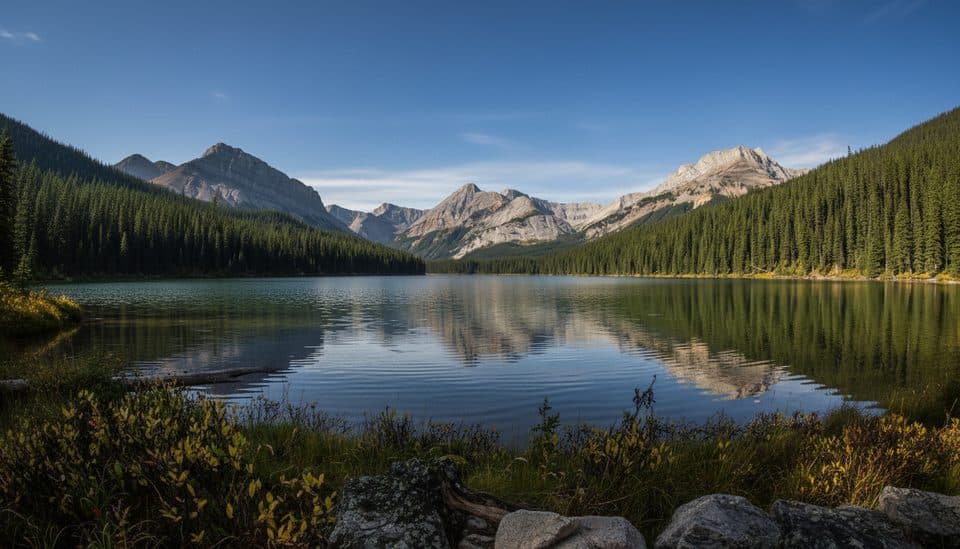 ModerateJacques Lake24.5 km · 8 hr · At the trailheadA gentle 12.2 km one-way valley trail through Beaver and Summit Lakes to a peaceful backcountry lake.
 ChallengingWatchtower Trail25.4 km · 14 hr · 8.3 km awayRemote alpine basin route with a demanding river crossing and Skyline connection
 ChallengingOpal Hills8.2 km · 5 hr · 14.4 km awaySteep loop from Maligne Lake to Opal Hills meadows and wide mountain views
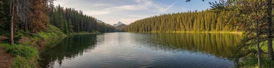 EasyMaligne Lake Lakeshore Trail3.2 km · 1.5 hr · 14.4 km awayFlat lakeside loop with turquoise views and Mary Schäffer history
 ChallengingOpal Peak Route10.3 km · 7 hr · 14.5 km awayStrenuous Opal Hills loop with an unmaintained summit connector above Maligne LakeEasyMary Schäffer Loop3.2 km · 1.5 hr · 14.5 km awayEasy 3.2 km lakeshore loop with Maligne Lake views, history, and forest.
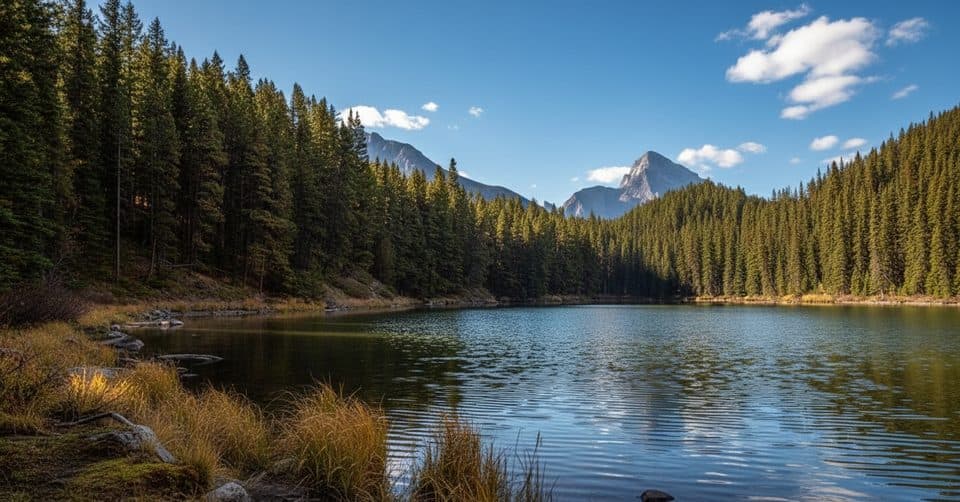 EasyMoose Lake Loop2.7 km · 1.5 hr · 14.6 km awayEasy forest loop to Moose Lake from Maligne Lake
 ChallengingSkyline Trail44.1 km · 18 hr · 14.7 km awayCanada’s premier alpine traverse, with nearly 25 km above treeline.
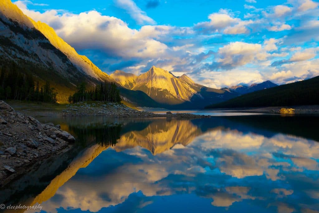 Sight · 2.4 km awayMedicine LakeDisappearing alpine lake with big views and frequent wildlife
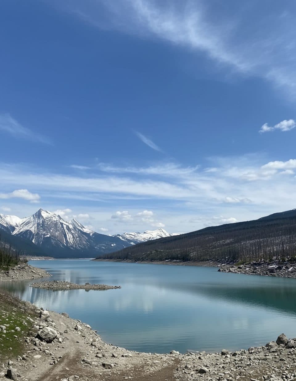 Scenic pullout · 6.2 km awayMedicine Lake ViewpointRoadside perch over a disappearing lake with big-mountain views
 Sight · 9.1 km awayJacques LakeLow-effort backcountry lake with solitude and a lakeside campground
 Sight · 11.4 km awayCurator LakeRemote blue alpine lake below The Notch on the Skyline Trail
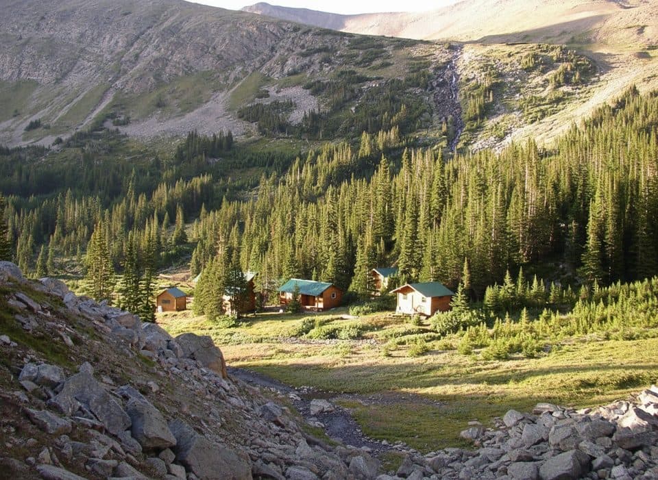 Lodging · 11.5 km awayShovel Pass LodgeHistoric, hike-in lodge with meals on the Skyline Trail
 Sight · 11.9 km awayThe NotchWind-scoured high pass with the Skyline’s widest alpine views
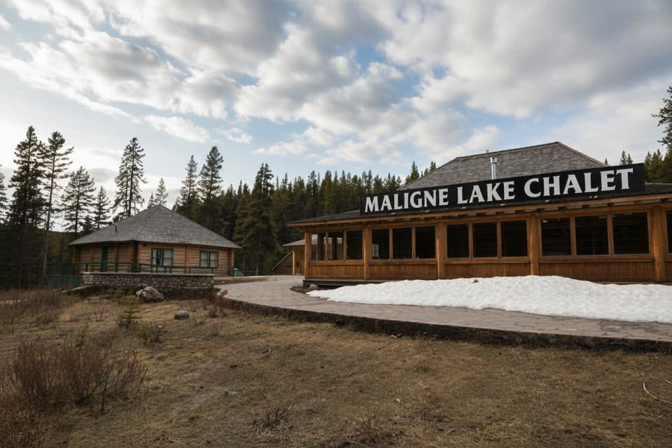 Sight · 14.4 km awayMaligne Lake Chalet and Guest House National Historic SiteHistoric log chalet above Maligne Lake with classic Rockies views
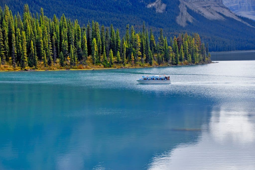 Sight · 14.4 km awayMaligne Lake CruiseGuided boat ride to Spirit Island on turquoise glacial waters
Parkwolf’s Jasper ranking

The audio tour guide for the drive, plus offline maps, trails, and wildlife heatmaps for when the signal drops.




