Parking
Park at the Maligne Lake trailhead parking lot or at the Signal trailhead/Signal Fire Road parking area. This point-to-point route requires a shuttle or two-car setup between the trailheads.

#1 of 91 trails in Jasper
Jasper National Park, AB
Canada’s premier alpine traverse, with nearly 25 km above treeline.
Overview
It’s a point-to-point, one-way route from the Maligne Trailhead at Maligne Lake to the Signal trailhead at the top of Signal Mountain Fire Road. Length is 44.1 km (27.4 miles) one way, with about 1,370–1,460 m (approximately 4,500–4,800 ft) of total gain. The high point is The Notch at about 2,510 m. Parks Canada identifies the Maligne-to-Signal direction as south to north because it loses more elevation than it gains. Most hikers backpack it in 2–3 days using designated campsites by reservation only.
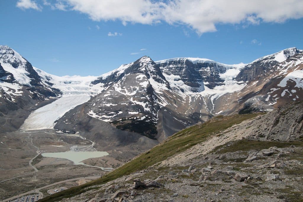
If you want maximum big-mountain payoff, this is Jasper’s marquee traverse. The Skyline strings together high ridges and three passes—Little Shovel, Big Shovel, and The Notch—with nearly 25 km above treeline for continuous, panoramic views. Expect wildflower meadows in midsummer, glacially carved valleys, and classic Rockies geology (limestone, shale, and U-shaped terrain). It’s long and exposed, but the scenery rarely lets up.
 Parkwolf’s verdictWhy hike it
Map & elevation
Plan your hike

The highest, rockiest slopes around here are a summer buffet for grizzly bears.
Jasper Tour Guide
Parkwolf is a GPS audio tour guide for Jasper National Park. As you drive, it chimes in with what’s ahead: hidden gems, upcoming stops, history, geology, and wildlife, right through your car’s speakers.
See the Jasper audio tourRecorded for this trailhead
Skyline Trailhead: A World-Famous Trek and a Day Hike“You're approaching the trailhead for the famous Skyline Trail. This spot is the finish line for one of Canada's premier alpine traverses, a multi-day trek with over 25 kilometers of trail above the treeline.”
Plays as you drive up to this trailhead in the Parkwolf Jasper Tour Guide.
More stories near here in the app
“Fantastic app with many points of information… It’s great to just turn on while you’re driving and it gives you an audio tour of the national Park. We love it!!!!”


Trail guide
Above-treeline travel is the Skyline’s calling card—windy, raw, and wide-open. You’ll traverse alpine meadows, airy ridges, and rocky sections, with Curator Lake and the climb to The Notch as standout moments. Wildlife sightings can include caribou, pikas, marmots, and the occasional bear. Water is plentiful in valleys and near lakes and streams, but scarce on the high, exposed sections—carry enough between sources.
The length, elevation, and sustained exposure—not technical terrain—make this a demanding hike. The Notch is the crux: steep, high, and often snowy early. Expect strong winds and rapid weather changes above treeline. Manage water carefully on the high stretches, carry bear spray, and follow food-storage protocols. Backcountry camping requires a permit.
Yes—this is one of Canada’s most scenic multi-day hikes. If you’re comfortable with exposure, variable weather, and backcountry logistics, the Skyline delivers days of uninterrupted alpine views that few trails can match. If you’re unsure about the full traverse or can’t get reservations, sampling a section as a day hike is a solid Plan B.
Late July to mid-September for the most reliable conditions and snow-free passes. Start days early to capitalize on calmer weather windows. August is prime for wildflowers; early fall offers crisp air and fewer insects, with rising odds of cold snaps.
Wildlife
 174 sightingsGrizzly BearMost seen around 8 PMSighting map
 43 sightingsCaribouMost seen around 7 AMSighting map
 40 sightingsGray WolfMost seen around 6 AMSighting map
 12 sightingsCanada LynxMost seen around 8 PMSighting map
 315 sightingsMooseMost seen around 6 AMSighting map
 1,028 sightingsElkMost seen around 7 AMSighting map
Sighting maps show where each species has been reported across Jasper. Wildlife moves, so no sighting is guaranteed.
Keep exploring
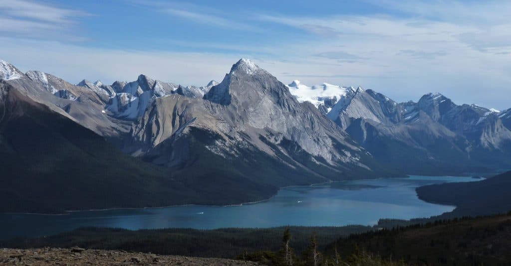 ChallengingBald Hills10.6 km · 5 hr · At the trailheadA demanding alpine out-and-back to broad views over Maligne Lake
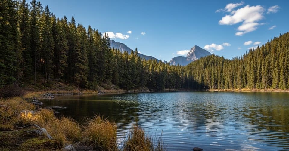 EasyMoose Lake Loop2.7 km · 1.5 hr · 0.1 km awayEasy forest loop to Moose Lake from Maligne Lake
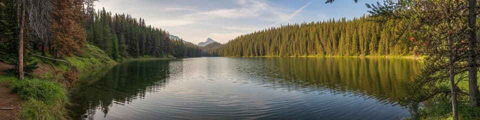 EasyMaligne Lake Lakeshore Trail3.2 km · 1.5 hr · 0.5 km awayFlat lakeside loop with turquoise views and Mary Schäffer historyEasyMary Schäffer Loop3.2 km · 1.5 hr · 0.7 km awayEasy 3.2 km lakeshore loop with Maligne Lake views, history, and forest.
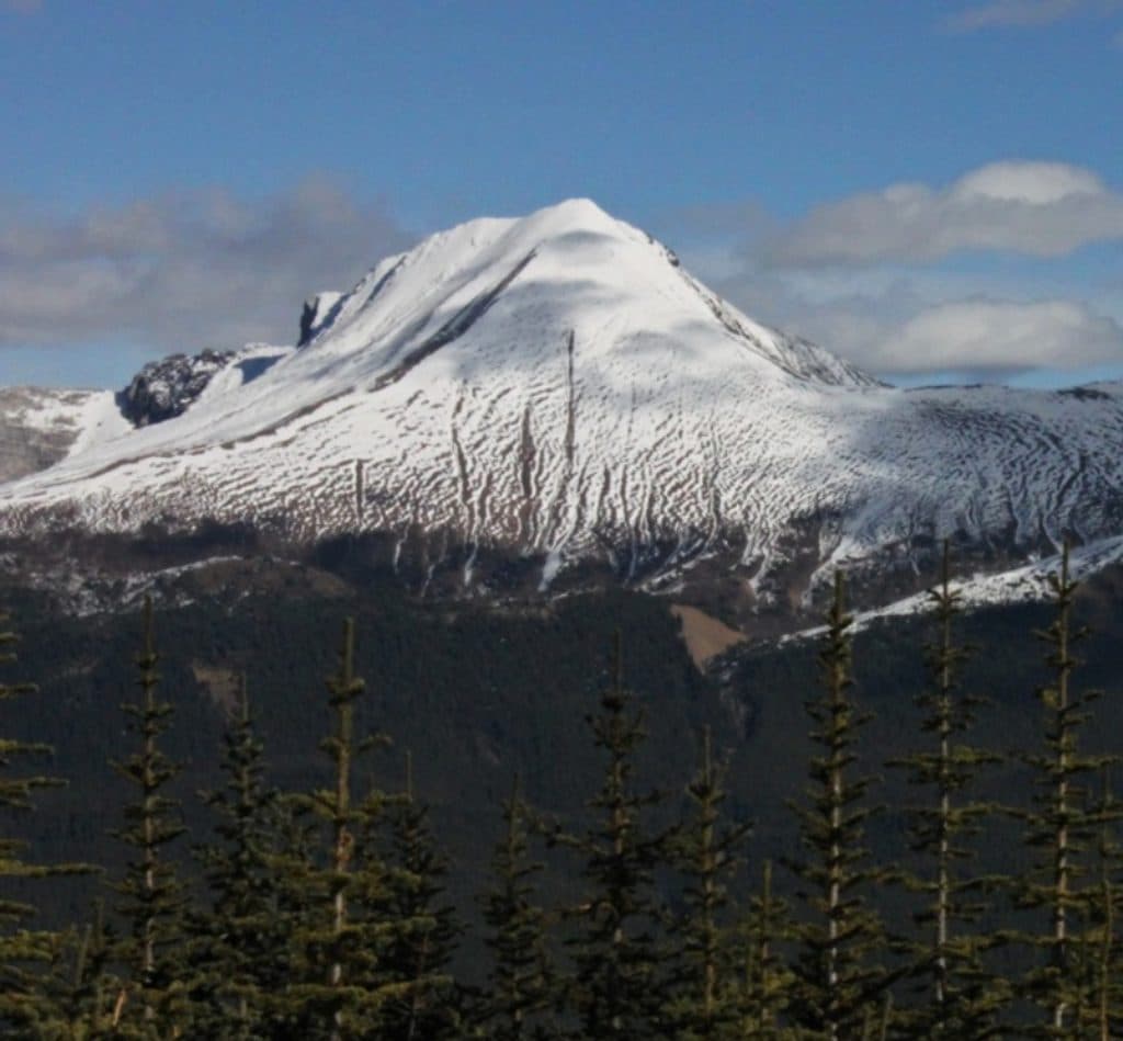 ChallengingOpal Peak Route10.3 km · 7 hr · 0.9 km awayStrenuous Opal Hills loop with an unmaintained summit connector above Maligne Lake
 ChallengingOpal Hills8.2 km · 5 hr · 0.9 km awaySteep loop from Maligne Lake to Opal Hills meadows and wide mountain views
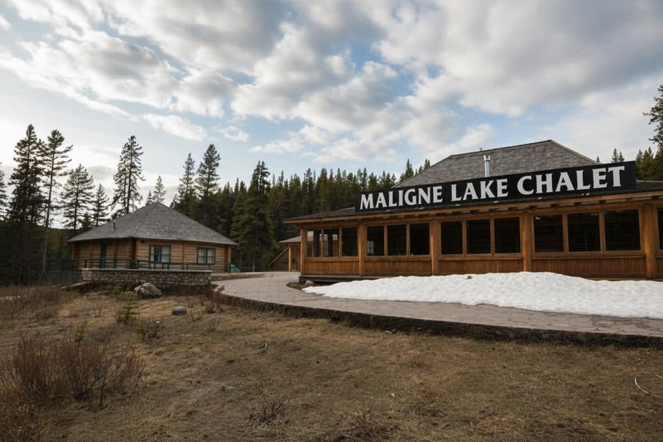 Sight · 0.5 km awayMaligne Lake Chalet and Guest House National Historic SiteHistoric log chalet above Maligne Lake with classic Rockies views
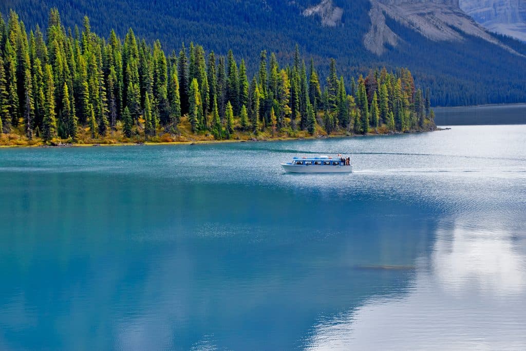 Sight · 0.5 km awayMaligne Lake CruiseGuided boat ride to Spirit Island on turquoise glacial waters
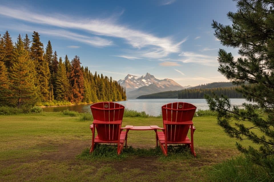 Sight · 0.7 km awayThe Red ChairsIconic red chairs with big Maligne Lake views
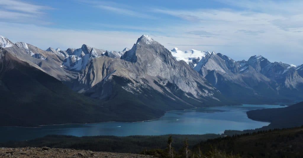 Sight · 1.9 km awayBald HillsBig-sky ridge hike with the best Maligne Lake panoramas
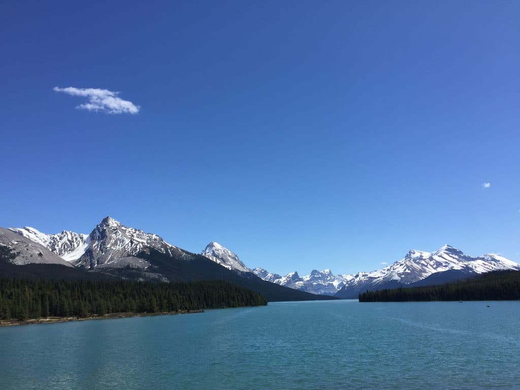 Sight · 10 km awayMaligne LakeGlacier-blue lake with cruises to photogenic Spirit Island
 Sight · 13.8 km awaySpirit IslandIconic island view on turquoise Maligne Lake, reached only by boat
 Sight · 15.1 km awayHorseshoe LakeCliff-ringed turquoise lake just off the Parkway
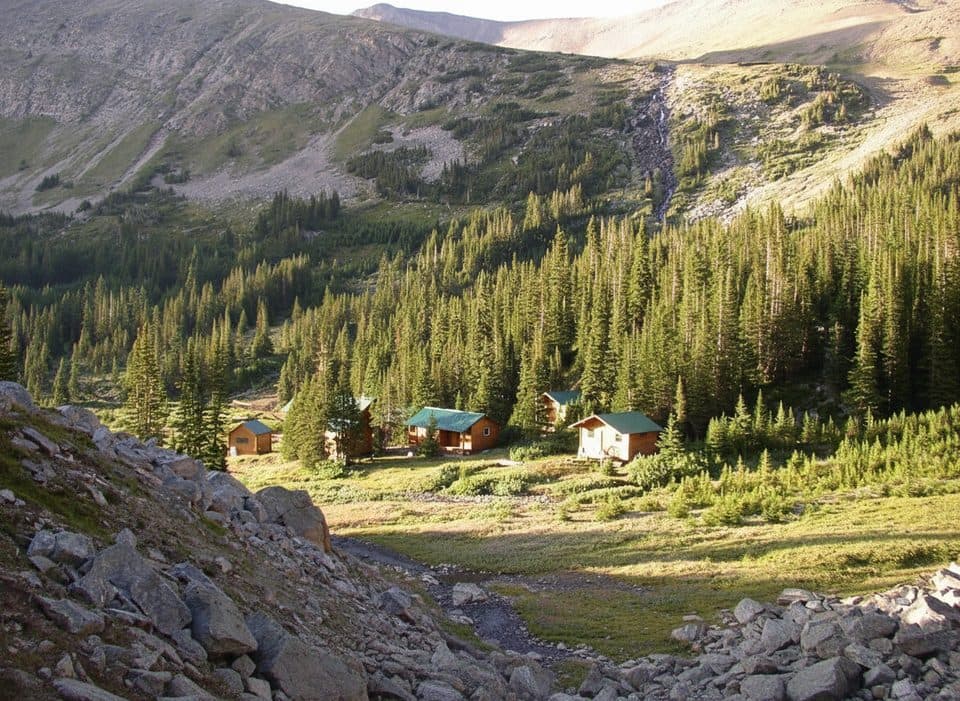 Lodging · 15.8 km awayShovel Pass LodgeHistoric, hike-in lodge with meals on the Skyline Trail
Parkwolf’s Jasper ranking
The audio tour guide for the drive, plus offline maps, trails, and wildlife heatmaps for when the signal drops.