
Place · 0 mi away
Challenging
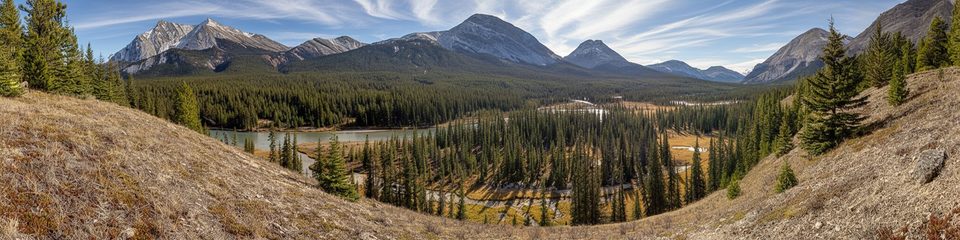
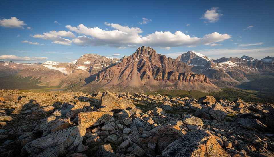
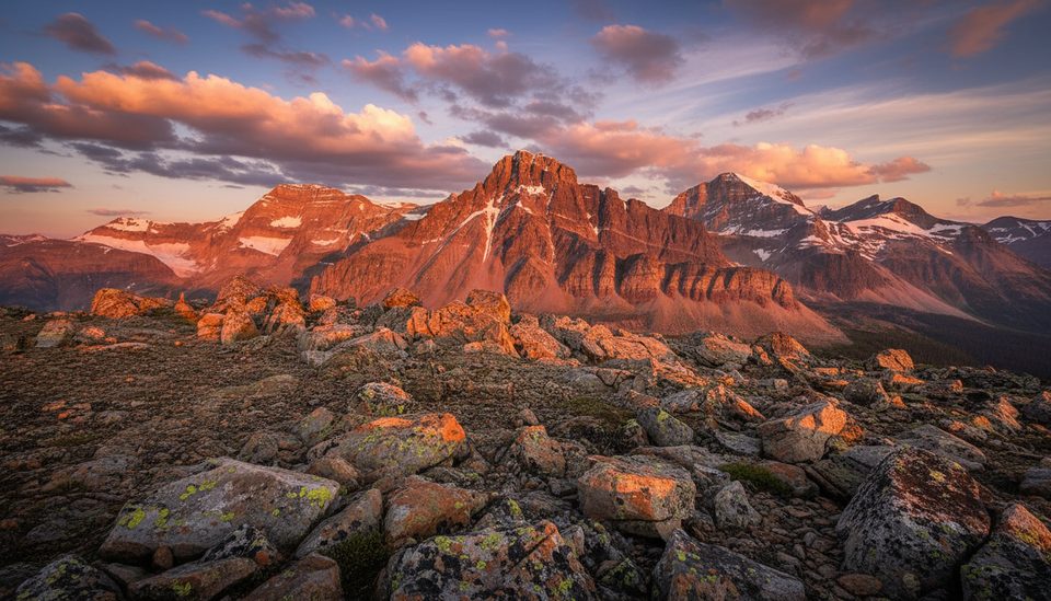
If you want Jasper’s quietest, most committing traverse, this is it. The South Boundary runs roughly 75 miles (120 km) along the park’s southern edge—historic, remote, and far rougher than headline routes like the Skyline or Brazeau. Expect long valley miles punctuated by big moments at passes like Cairn Pass, wildlife-rich forests, and a level of solitude that’s rare in the Canadian Rockies.
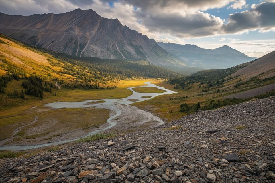
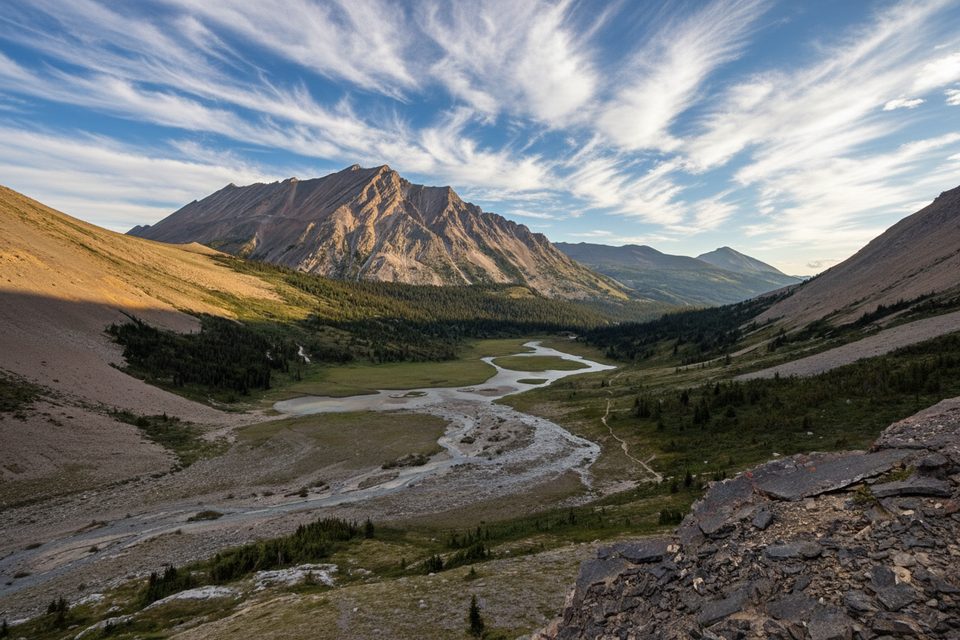
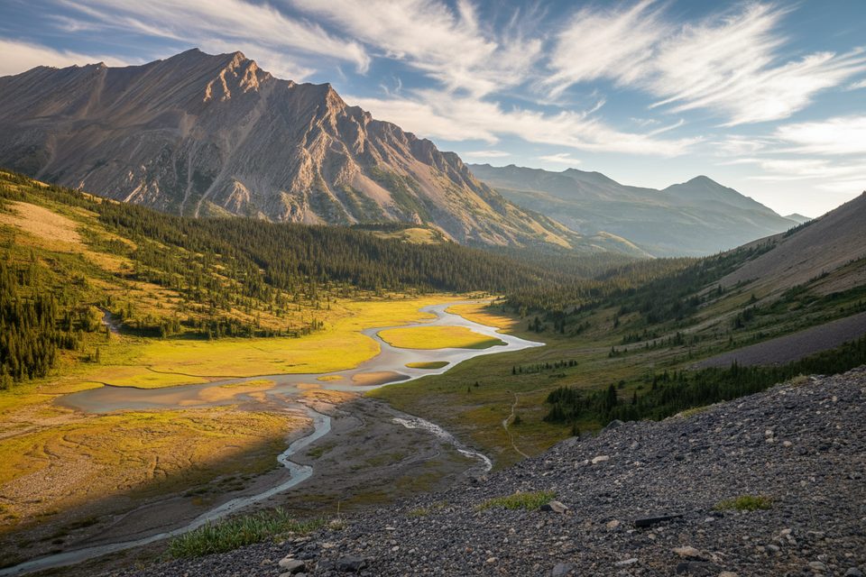
Most hikers link the Nigel Creek trailhead on the Icefields Parkway with the Cardinal River Road/Rocky Pass side. The western end overlaps maintained Brazeau Loop tread before the route turns wilder past backcountry camps like Arête, Isaac Creek, and Southesk, crossing the Southesk River via a suspension bridge and even stepping just outside the park briefly. Farther east, you’ll thread broad river valleys (Medicine Tent, Rocky Forks) and climb to Cairn Pass (~2255 m). Scenery trends subtle and immersive: subalpine meadows, braided rivers, and classic Front Ranges geology rather than constant above-treeline ridge walking.
This is a true wilderness route. Large sections are overgrown, with deadfall, mud, and faint tread. Several rivers are unbridged and can be uncrossable at high water—plan around that reality and be ready to wade. Navigation skills matter; expect reroutes, slow travel in burn zones, and occasional stretches where the best line is in a gravel riverbed. Grizzlies, elk, and moose are common—carry bear spray and be diligent with food storage. Due to incidents and wildlife activity, closures can occur; check advisories before you go.
Late summer into early fall (August–September) is the sweet spot: lower flows for fords, fewer lingering snow issues, and better odds of passable tread. Early season travel is risky thanks to swollen rivers and messier blowdown.
This is a point-to-point traverse, not a loop, and there’s no public transit between trailheads—arrange a shuttle. Completing the full route typically takes 7–10 days; only experienced backpackers comfortable with self-sufficient travel, river crossings, and route-finding should attempt it. Camps are primitive and spaced out; book designated backcountry sites through Parks Canada and treat all water.
If you want a taste of the South Boundary without committing to the whole thing, consider a partial segment such as the remote stretch between Rocky Forks and Cairn Pass. If you prefer more constant alpine views on better tread, the Skyline or Brazeau Loop are friendlier alternatives inside the park.
Park at the Nigel Creek trailhead along the Icefields Parkway or at the Cardinal River Road/Rocky Pass access on the east end. No public transit—set up a vehicle shuttle.
Remote, minimally maintained route with overgrowth, deadfall, and unbridged fords (notably the Rocky River). Strong navigation required; closures and reroutes occur after fires/floods. Grizzly country—carry spray and follow bear protocols.
Place · 0 mi away
Place · 4.3 mi away

Place · 5 mi away
Place · 5.3 mi away
Challenging · 0 mi away
Challenging · 0 mi away
Challenging · 0 mi away
Moderate · 0 mi away

Parkwolf Tour Guide
