Parking
Park at the Nigel Creek trailhead on the Icefields Parkway (Highway 93). The parking lot is 116 km south of Jasper, 13 km south of the Icefields Centre, and is signed from the highway.

Jasper National Park, AB
81 km lollipop loop from Nigel Creek over Nigel Pass, Brazeau Lake and three alpine passes
Overview
If you want Jasper’s true backcountry—big passes, a glacier-fed turquoise lake, and long stretches of real solitude—this is it. The Brazeau Loop is an 81 km, multi-day lollipop route that earns every view. It is less traveled than Jasper’s headline routes, and that is the point.
 Parkwolf’s verdictWhy go
Map & elevation
Plan your hike

The highest, rockiest slopes around here are a summer buffet for grizzly bears.
Jasper Tour Guide
Parkwolf is a GPS audio tour guide for Jasper National Park. As you drive, it chimes in with what’s ahead: hidden gems, upcoming stops, history, geology, and wildlife, right through your car’s speakers.
See the Jasper audio tourRecorded for this area
Sea Creatures in the Rockies“It’s hard to imagine, but all these mountains were once the floor of a warm, tropical sea. Because of that, the rocks here are full of fossils. You don't have to be a geologist to find them, either.”
Plays on the road 1.1 km from the trailhead in the Parkwolf Jasper Tour Guide.
More stories near here in the app
“Fantastic app with many points of information… It’s great to just turn on while you’re driving and it gives you an audio tour of the national Park. We love it!!!!”


Trail guide
Start at the Nigel Creek trailhead and travel counter-clockwise over Nigel Pass to Four Point Campground. From Four Point, the loop continues along the Brazeau River to Brazeau Lake, crosses Poboktan Pass to Jonas Cutoff, and returns over Jonas Shoulder and Jonas Pass to Four Point before retracing the Nigel Pass approach. Expect forested singletrack, open alpine meadows, river valleys and sweeping pass-top views, with the loop’s high point near Jonas Shoulder at about 2,470 m. It is strenuous: the distance, high passes, river crossings and remote setting demand backcountry experience.
Brazeau Lake is a glacier-fed alpine lake framed by rugged peaks. The route moves through glacial valleys, moraines and layered Rockies geology, with long stretches of quiet wilderness. River fords may be necessary even where bridges serve some sections. Carry a map and GPS, and be prepared for rapid weather changes and lingering snow on the passes.
This is a serious, remote and beautiful 81 km backpacking loop for experienced hikers who want big-mountain days, a turquoise lake and a genuine wilderness feel. Dogs are not permitted on the specified Poboktan Creek and Jonas Shoulder sections, so this route should be planned as pet-free.
Wildlife
 174 sightingsGrizzly BearMost seen around 8 PMSighting map
 43 sightingsCaribouMost seen around 7 AMSighting map
 40 sightingsGray WolfMost seen around 6 AMSighting map
 12 sightingsCanada LynxMost seen around 8 PMSighting map
 315 sightingsMooseMost seen around 6 AMSighting map
 1,028 sightingsElkMost seen around 7 AMSighting map
Sighting maps show where each species has been reported across Jasper. Wildlife moves, so no sighting is guaranteed.
Keep exploring
 ChallengingBrazeau Loop81 km · 1.3 days · At the trailheadRemote alpine circuit: big passes, turquoise lake, real commitment
 ChallengingJonas Pass Trail53.9 km · 1 day · At the trailheadA demanding 54 km alpine traverse from Nigel Creek over Jonas Pass to Poboktan Creek
 ModerateNigel Pass Trail14.3 km · 5 hr · At the trailheadGentle climb to a big alpine pass with Brazeau Valley viewsEasyBoundary Lake trail2.9 km · 1.5 hr · 6.9 km awayShort, quiet out-and-back to a turquoise glacial lake at the Banff–Jasper boundary
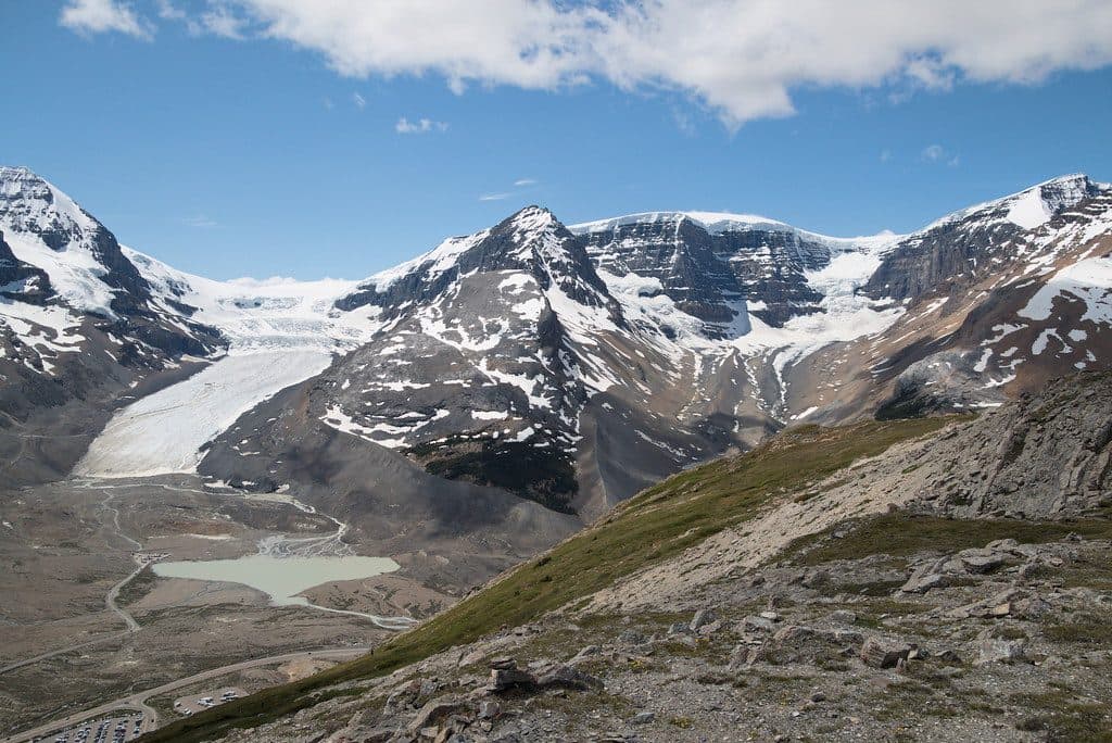 ModerateWilcox Pass Trail9.3 km · 4 hr · 8.6 km awayBig glacier views for moderate effort above the Icefields Parkway.
 ModerateWilcox Ridge Trail9.3 km · 4 hr · 8.6 km awayModerate out-and-back to Wilcox Ridge with Athabasca Glacier and Columbia Icefield views.
 ModerateWilcox Pass8 km · 3 hr · 8.6 km awayGlacier views and open alpine meadows on a moderate out-and-back to Wilcox Pass
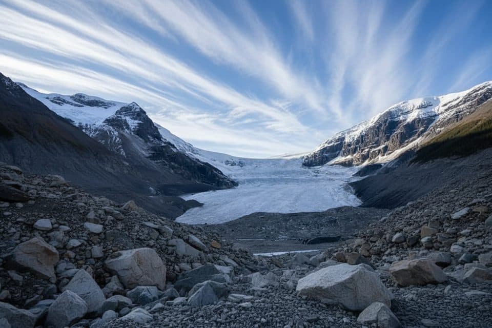 ModerateAthabasca Glacier Forefield Trail3.5 km · 1.5 hr · 11.1 km awayA flat, rocky walk across the Athabasca Glacier’s forefield to the Toe of the Glacier connection.
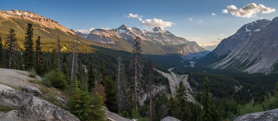 Scenic pullout · 6.9 km awaySunwapta PassHigh-alpine pass with big views and a clear park boundary moment
 Campground · 8.1 km awayWilcox Creek CampgroundAlpine FCFS campground with big glacier views near Wilcox Pass
 Sight · 8.6 km awayMount AthabascaClassic Icefield peak for big views and real glacier climbing
 Campground · 9.9 km awayIcefield CampgroundTent-only glacier-view camping steps from Athabasca Glacier
 Sight · 11.1 km awayMount AndromedaClassic Columbia Icefield climb with huge glacier views
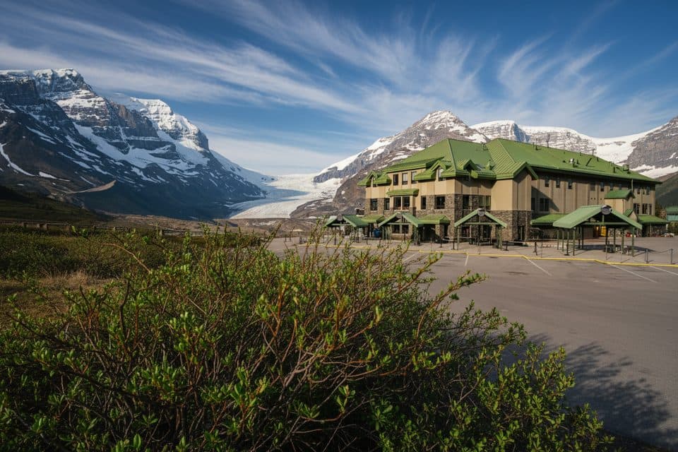 Lodging · 11.2 km awayGlacier View LodgeThe only stay facing Athabasca Glacier, with knockout views
 Sight · 11.2 km awayGlacier GalleryInteractive glacier exhibit at the Columbia Icefield hub
 Visitor center · 11.2 km awayColumbia Icefield Discovery CentreGlacier hub with big views and tours to ice and skywalk
Parkwolf’s Jasper ranking
The audio tour guide for the drive, plus offline maps, trails, and wildlife heatmaps for when the signal drops.





