Parking
Start at the Nigel Creek parking lot on the east side of Icefields Parkway (Highway 93), about 13 km south of the Columbia Icefield Centre and 116 km south of Jasper.
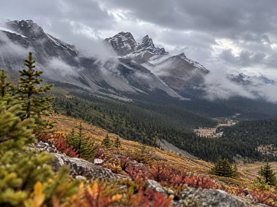
Jasper National Park, AB
A five-day backpacking loop over three high passes and lake valleys.
Overview
Map & elevation
Plan your hike

The highest, rockiest slopes around here are a summer buffet for grizzly bears.
Jasper Tour Guide
Parkwolf is a GPS audio tour guide for Jasper National Park. As you drive, it chimes in with what’s ahead: hidden gems, upcoming stops, history, geology, and wildlife, right through your car’s speakers.
See the Jasper audio tourMore stories near here in the app
“Fantastic app with many points of information… It’s great to just turn on while you’re driving and it gives you an audio tour of the national Park. We love it!!!!”


Trail guide
The Brazeau Loop is an 81 km (50 mile) lollipop-shaped backpacking circuit from Nigel Creek Trailhead. It follows trails 130, 131 and 132: cross Nigel Pass to Four Point, follow the Brazeau River valley to Brazeau Lake, cross Poboktan Pass to Jonas Cutoff, climb Jonas Shoulder and return over Jonas Pass to Four Point, then retrace the Nigel Pass approach to the start. The shared approach makes it a loop with a long spur. This is the full Nigel Creek circuit, distinct from the 54 km Jonas Pass–Poboktan Creek traverse.
The five-day itinerary suits backpackers comfortable with remote travel, route-finding and abrupt mountain weather; it is not a day hike. Most hikers travel counterclockwise, following the gradual ascent described for this route. Expect three high passes, long days and several river fords.
From Nigel Creek, the trail climbs 10.7 km from about 1,860 m, crosses Nigel Pass at 2,195 m, then drops to Boulder Creek Campground. Another 3.1 km of mostly downhill walking brings you to Four Point. The trail moves from forest into open meadow and back, with the hardest climbing near the pass and mountain views at the crest. The return to Nigel Creek follows this same corridor, so you cross the pass-side approach again at the end.
From Four Point, follow the west-bank hiking reroute toward Brazeau River and Brazeau Lake. The route descends about 15.5 km to Brazeau River Bridge Campground, then climbs gently for about 3 km to the Brazeau Lake area. Stay on the west side at the river: the bridge and trail on the east bank lead to the horse-use route and Wolverine Campground. Brazeau Lake Campground is about 900 m off the main trail; include that approach when planning a night there. This is a long forest-and-willow valley stretch, opening to wider mountain views near the lake.
From the Brazeau Lake area, the route climbs 8.9 km to John-John Creek, then continues 7.5 km over Poboktan Pass at about 2,300 m to Jonas Cutoff. The trail leaves the lower valley for a rock-strewn basin, climbs through fir forest, then opens to high meadows and broad views. At a five-day pace, this is a full pass-crossing day. Snow can linger on the passes until July, so travel earlier in the season is not recommended.
From Jonas Cutoff, the trail climbs steeply for 3.3 km to Jonas Shoulder, the route high point at 2,470 m. The descent is steep too; then the path rolls over Jonas Pass at 2,320 m and drops more gently to Four Point, about 18.9 km from Jonas Cutoff. This is the loop’s highest, most open stretch, with a long view across ridges and alpine valleys. Stay with the cairns over rocky ground and expect several stream crossings. For a photo, include the ridge path in the foreground to give the surrounding peaks scale.
A backcountry camping permit is mandatory for overnight travel. Campgrounds on the loop have food lockers and pit toilets. Jonas Cutoff Campground is high and exposed, with little shelter in poor weather; fires are not permitted there, and elsewhere fires belong only in designated pits. Dogs, bicycles and horses are not allowed on the hiking loop. Variable river levels and unbridged crossings are part of the route, so check the current trail report and plan around water conditions before setting out.
Wildlife
 174 sightingsGrizzly BearMost seen around 8 PMSighting map
 43 sightingsCaribouMost seen around 7 AMSighting map
 40 sightingsGray WolfMost seen around 6 AMSighting map
 12 sightingsCanada LynxMost seen around 8 PMSighting map
 319 sightingsMooseMost seen around 6 AMSighting map
 1,044 sightingsElkMost seen around 7 AMSighting map
Sighting maps show where each species has been reported across Jasper. Wildlife moves, so no sighting is guaranteed.
Keep exploring
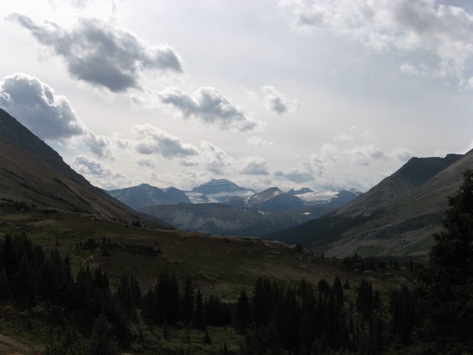 ModerateNigel Pass Trail14.6 km · 5 hr · At the trailheadA gentle creek approach gives way to a steep final kilometre.
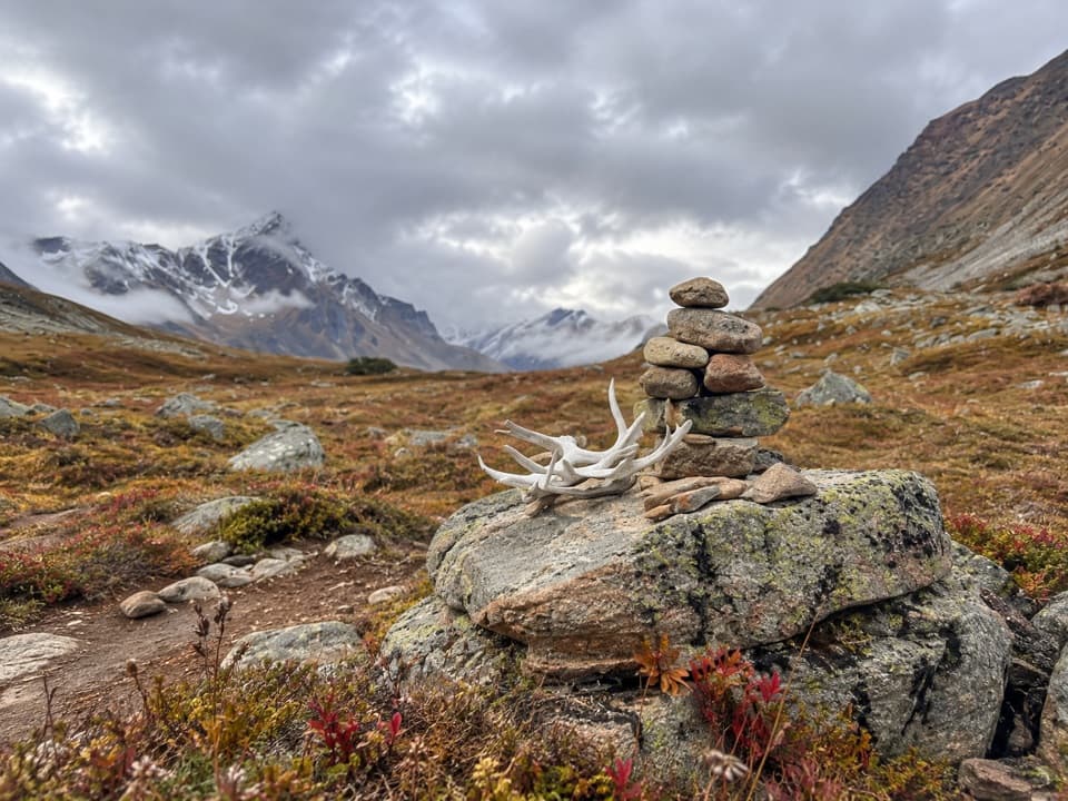 ChallengingJonas Pass–Poboktan Creek Trail54 km · 3.5 days · At the trailheadTwo alpine passes and waterfalls on a serious wilderness traverse
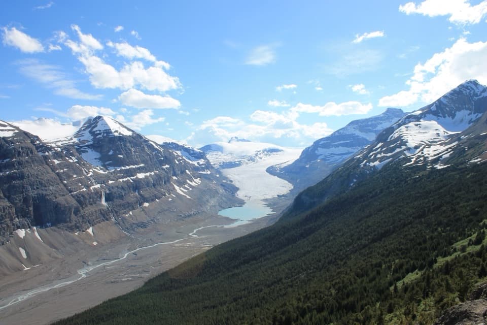 ModerateParker Ridge Trail5.6 km · 3 hr · 3.2 km awayA short climb earns a close view of Saskatchewan Glacier.
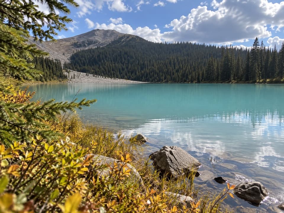 EasyBoundary Lake Trail2 km · 1 hr · 6.9 km awayA quick detour to Boundary Lake's bright turquoise water.
 ChallengingWilcox Pass Trail6.8 km · 2.5 hr · 8.6 km awayA steep forest climb opens into glacier-viewing alpine meadows.
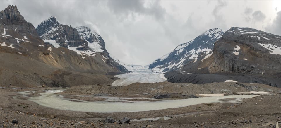 ModerateToe of the Athabasca Glacier Trail1.8 km · 1 hr · 11.5 km awayA rocky climb to a limestone bench with a close glacier view.
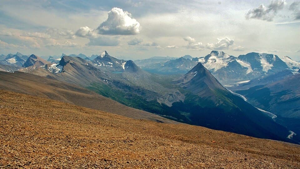 ChallengingTangle Ridge Trail10.8 km · 7 hr · 17.3 km awayA steep ridge climb earns a big view over peaks and glaciers.
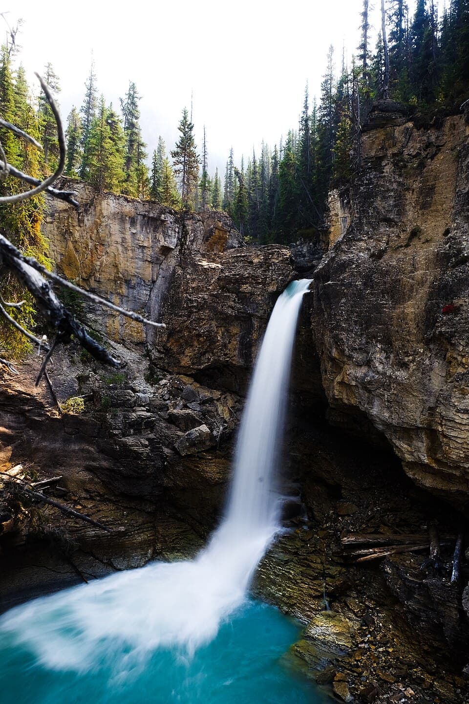 ModerateBeauty Creek to Stanley Falls Trail3.2 km · 1.3 hr · 23.7 km awayA short climb to a string of falls in a tight canyon
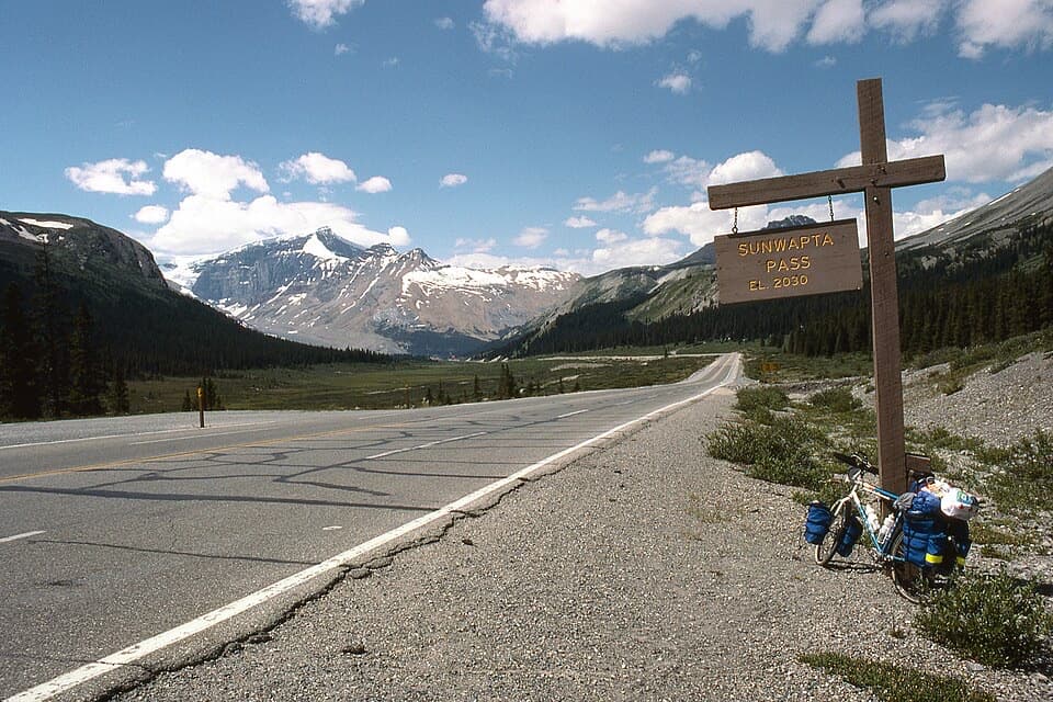 Scenic pullout · 6.9 km awaySunwapta Pass ViewpointA high pass where two parklands and watersheds meet.
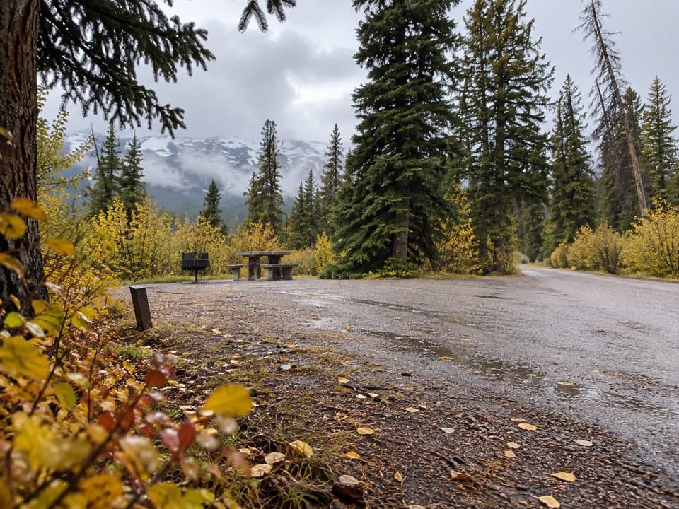 Campground · 8.1 km awayWilcox CampgroundA simple Parkway camp near Wilcox Pass and the Columbia Icefield.
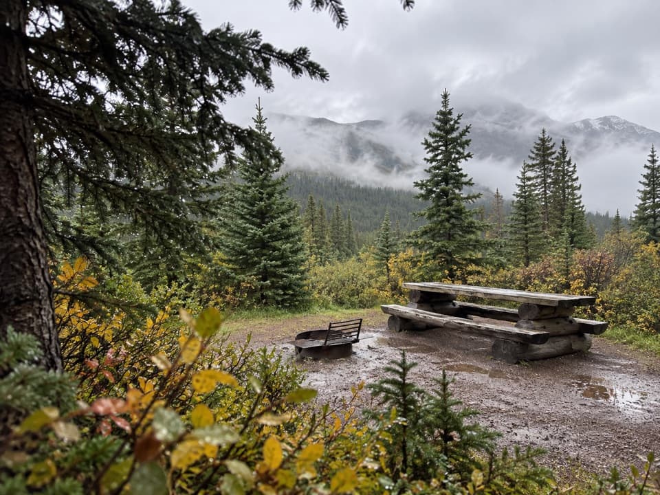 Campground · 8.6 km awayBoulder Creek Backcountry CampgroundA four-site overnight on the demanding Brazeau Loop.
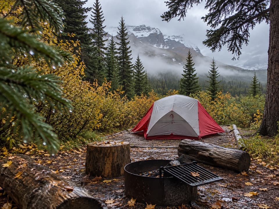 Campground · 9.9 km awayIcefield CampgroundWalk-in tent camping with glacier views from most sites.
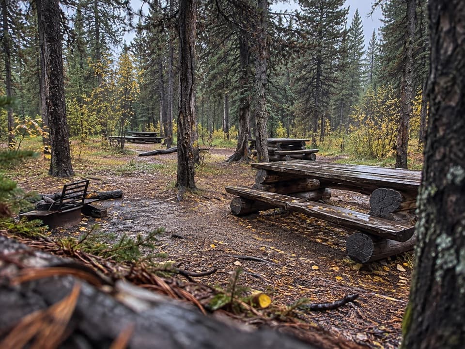 Campground · 10.5 km awayFour Point Backcountry CampgroundA forested river camp on the Brazeau Loop.
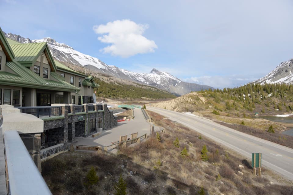 Visitor center · 11.2 km awayColumbia Icefield Discovery and Information CentreGlacier views, an icefield gallery, and a useful Parkway break.Lodging · 11.2 km awayGlacier View LodgeA seasonal stay pairs glacier views with select guided outings.
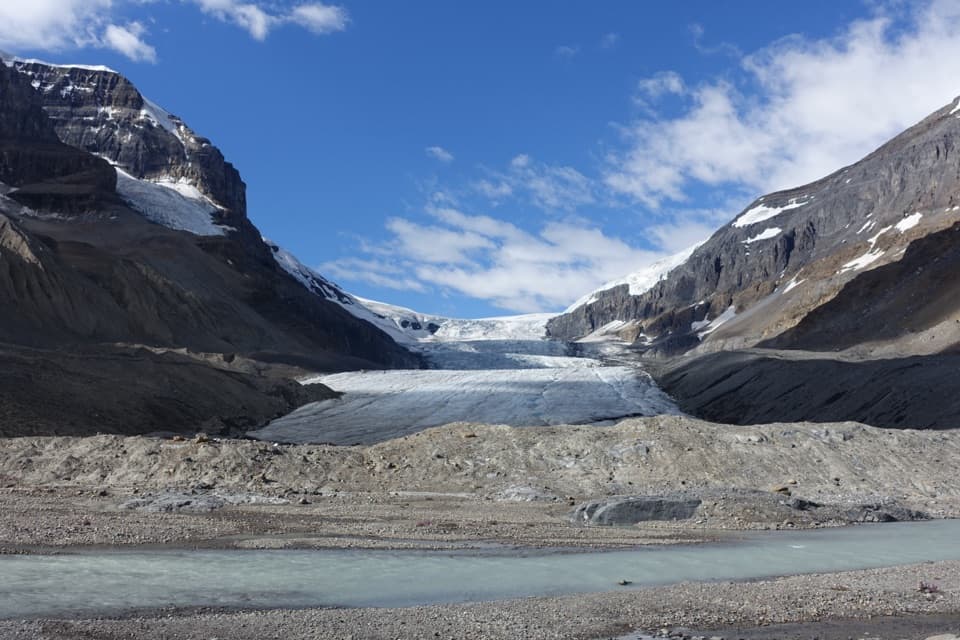 Sight · 11.5 km awayAthabasca GlacierA short walk to glacial grooves and the front of the ice.
Parkwolf’s Jasper ranking

The audio tour guide for the drive, plus offline maps, trails, and wildlife heatmaps for when the signal drops.




