Parking
Gunlom campground’s car park is beside its picnic area. The river route starts at the nearby Murrill Billabong path junction. Access is seasonal and the road can be rough; check Kakadu’s current access report before driving.
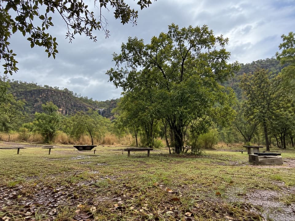
Kakadu National Park, NT
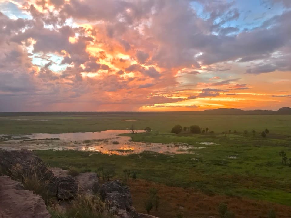
A gentle birdwatching walk through woodland toward South Alligator River.
Overview
Map & elevation
Plan your hike

The highest, rockiest slopes around here are a summer buffet for grizzly bears.
Kakadu Tour Guide
Parkwolf is a GPS audio tour guide for Kakadu National Park. As you drive, it chimes in with what’s ahead: hidden gems, upcoming stops, history, geology, and wildlife, right through your car’s speakers.
See the Kakadu audio tourRecorded for this trailhead
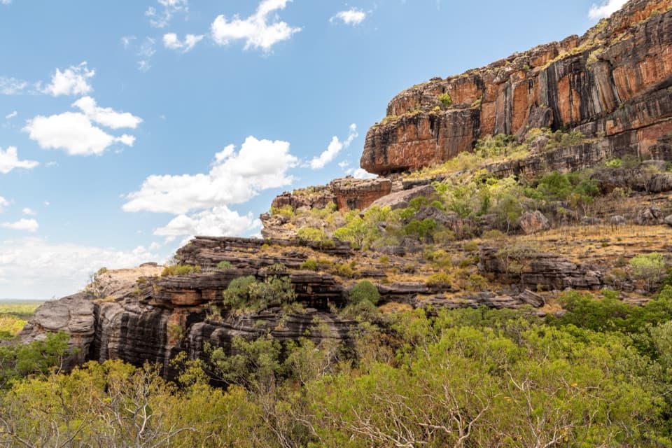
Gunlom Falls and the Upper View“You're nearing Gunlom Falls, an eighty-five-metre seasonal cascade that appeared in Crocodile Dundee.”
Plays as you drive up to this trailhead in the Parkwolf Kakadu Tour Guide.
More stories near here in the app
“Fantastic app with many points of information… It’s great to just turn on while you’re driving and it gives you an audio tour of the national Park. We love it!!!!”


Trail guide
Murrill Walk to Alligator River is an easy out-and-back from the Gunlom campground access, following the Murrill Billabong path before continuing through open woodland toward the South Alligator River. The connected route is about 2.8 km return (about 1.4 km each way); allow about an hour if you stop to watch birds. Some written directions give 2.5 km for the river option, so treat the distance as approximate. This is the longer river walk, separate from the roughly 1 km Murrill Billabong loop.
From the access road, follow the Murrill Billabong path for about half a kilometre to the shared junction, then take the named river path for just under another kilometre. Retrace the same corridor to return; this is not a loop. The available route mapping does not establish the exact river-side endpoint or the tread in detail, so confirm the river branch at the site and stay on the established route.
Birdwatching is the reason to choose this walk. It passes through open woodland on its way toward the river. No species list for this exact path was verified, so treat particular sightings as a bonus. Carry drinking water; none is provided at Gunlom.
Use the campground car park beside the picnic area and find the Murrill Billabong access near the road junction. Gunlom access is seasonal and the road can be rough; check Kakadu's current access report before driving. Ordinary pets are prohibited in the park; assistance dogs are allowed under park rules.
Wildlife
 1,126 sightingsSaltwater CrocodileMost seen around 7 AMSighting map
 122 sightingsWater BuffaloMost seen around 6 AMSighting map
 77 sightingsFrilled DragonMost seen around 7 AMSighting map
 118 sightingsRed-tailed Black CockatooMost seen around 7 AMSighting map
 108 sightingsBrolgaMost seen around 7 AMSighting map
 310 sightingsMagpie GooseMost seen around 5 PMSighting map
Sighting maps show where each species has been reported across Kakadu. Wildlife moves, so no sighting is guaranteed.
Keep exploring
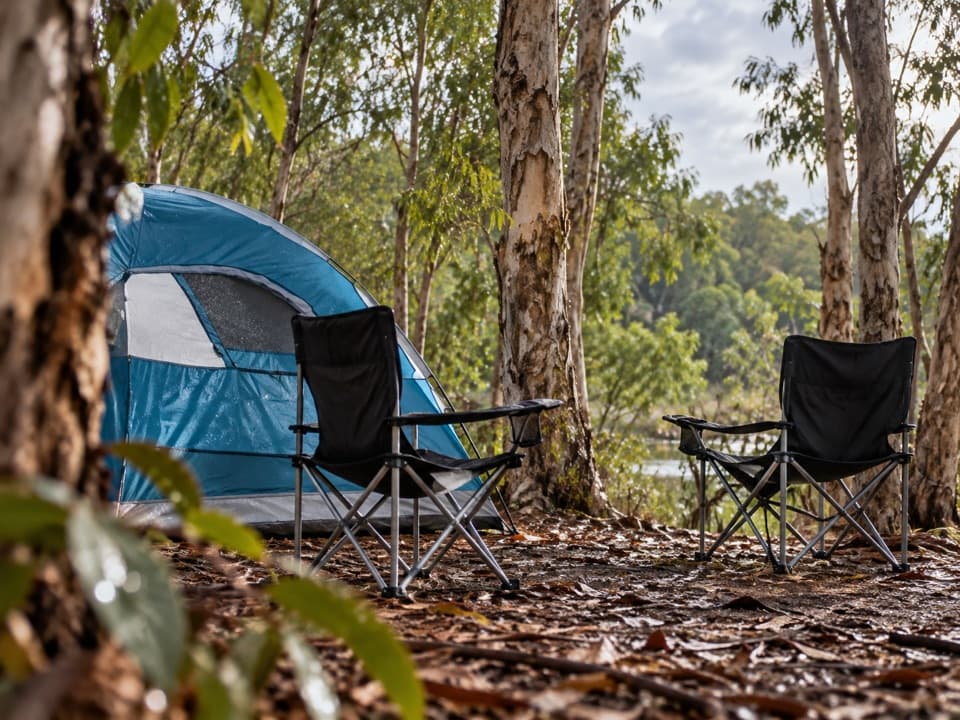 EasyMurrill Billabong Walk1 km · 30 min · At the trailheadA short, flat birdwatching break at a seasonal billabong.
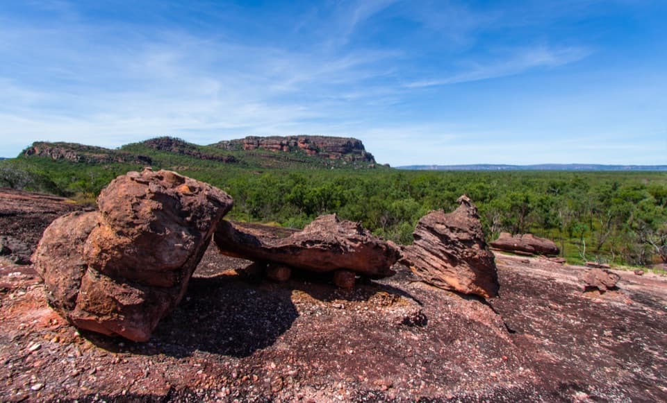
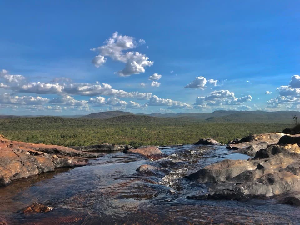 ModerateGunlom Lookout Walk1 km · 30 min · 0.3 km awayA steep escarpment climb to upper pools and a wide ridgeline view.
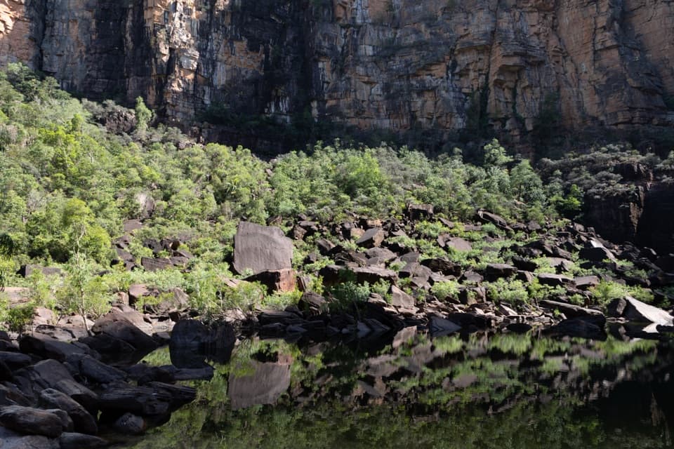
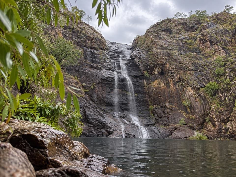 EasyGunlom Plunge Pool Viewing Walk0.4 km · 6 min · 0.3 km awayA short paperbark path to Gunlom's lower plunge-pool viewpoint
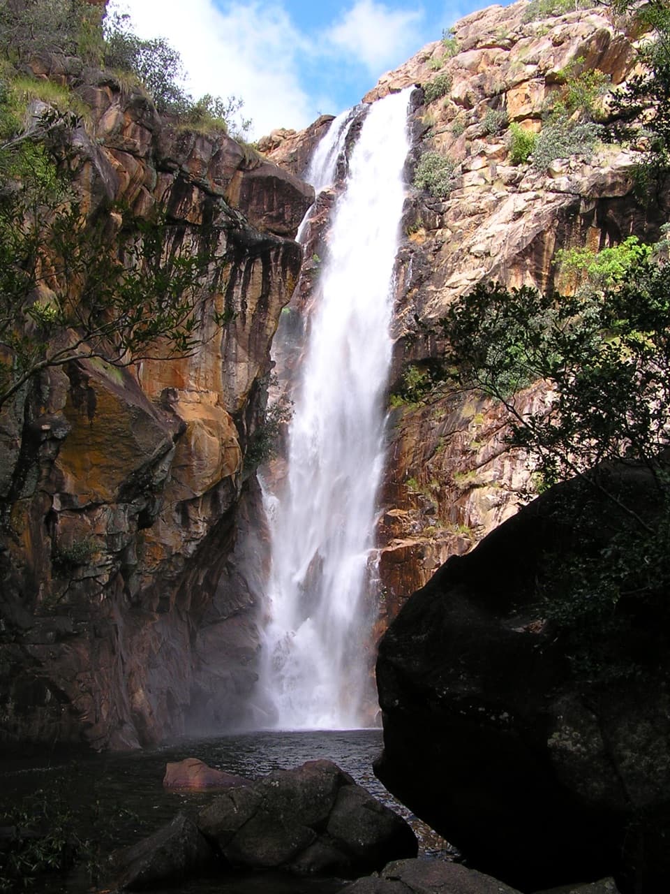 ModerateMotor Car Falls Walk7.5 km · 4 hr · 10.2 km awayA 7.5 km return through open woodland to a shaded waterfall.
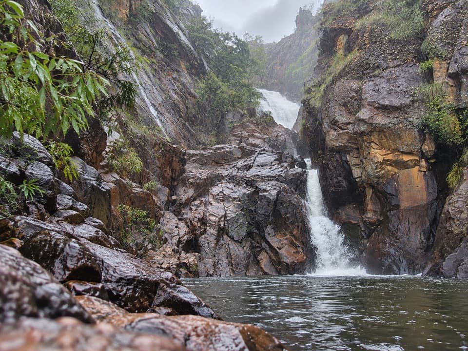 ChallengingKurrundie Falls Walk11 km · 7 hr · 10.2 km awayA tough, unmarked 11 km return hike to a two-stage waterfall.
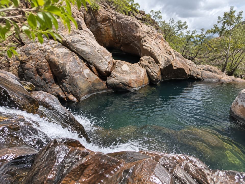 EasyMaguk Upper Pools Walk0.8 km · 30 min · 13.3 km awayTake a short spur to Maguk's linked upper rock pools.
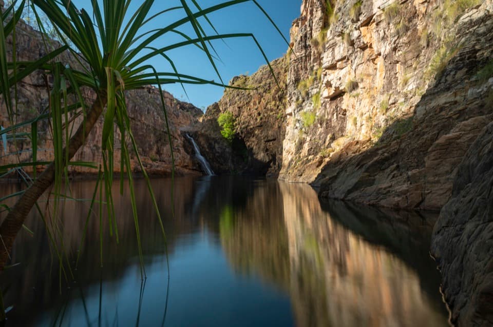 ModerateMaguk Walk2 km · 1.5 hr · 14 km awayA rough creekside walk ends at a waterfall beneath steep gorge walls.
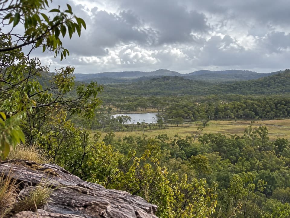 ModerateGungurul Lookout and River Walk2 km · 2 hr · 18.2 km awayA short climb to broad South Alligator valley views.
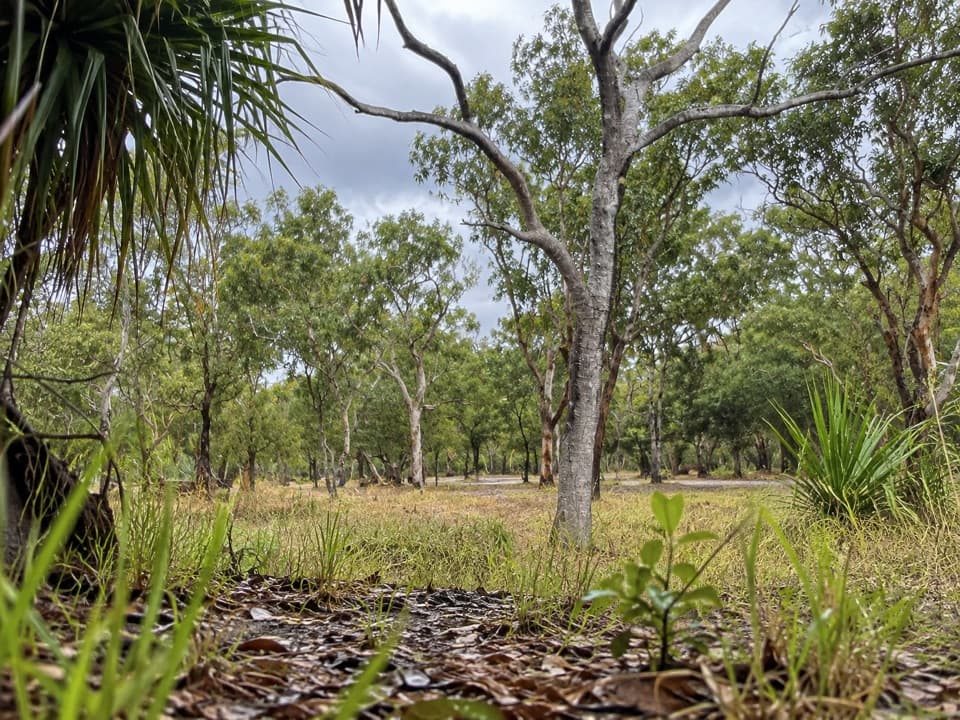 Campground · 0.2 km awayGunlom CampgroundWake to bushland birdsong before the climb to Gunlom's upper pools.Sight · 0.3 km awayGunlom FallsAn 85-metre cascade above a natural infinity pool.
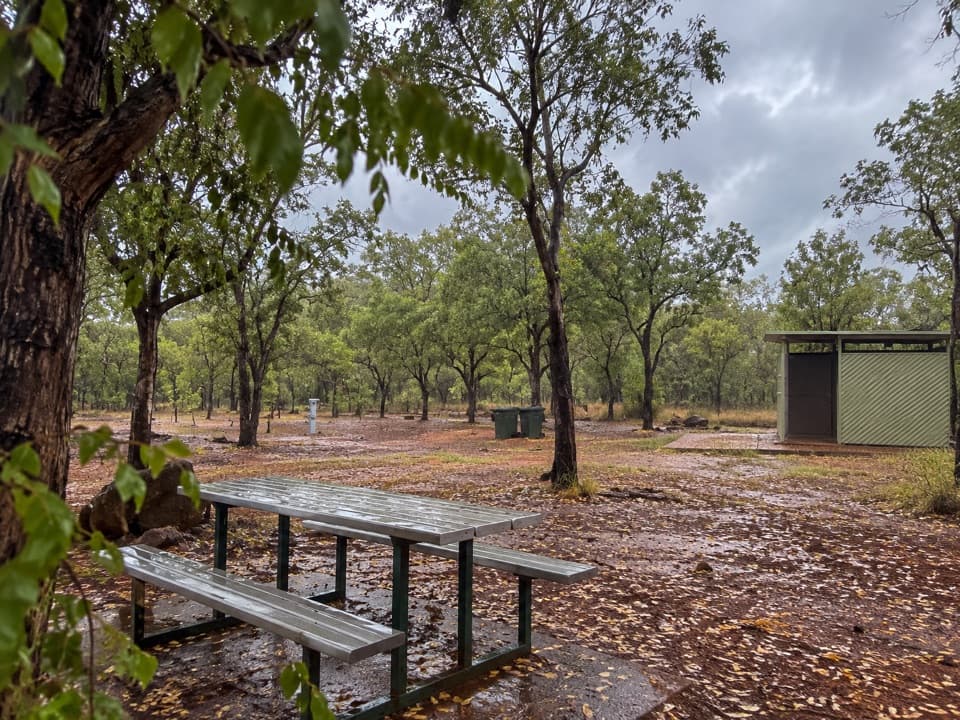 Campground · 8 km awayKambolgie CampgroundA quiet base for the Yurmikmik walks
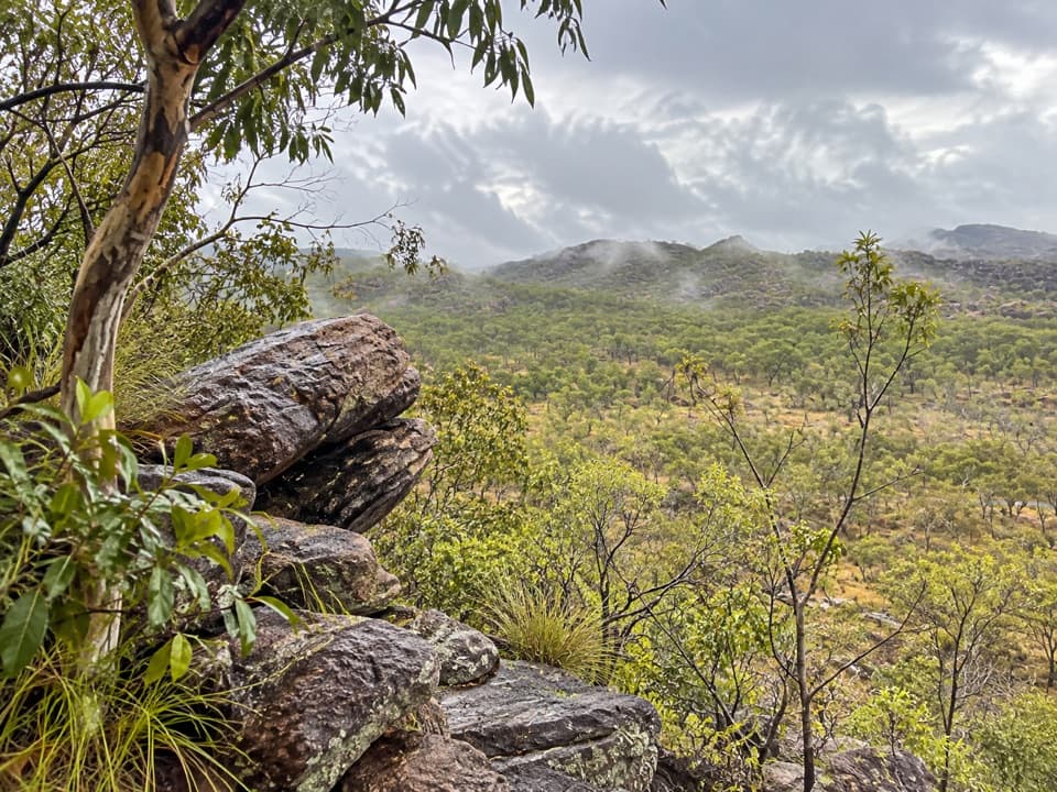 Sight · 10.6 km awayYurmikmik LookoutA two-hour walk to wide views over Kakadu’s southern country.
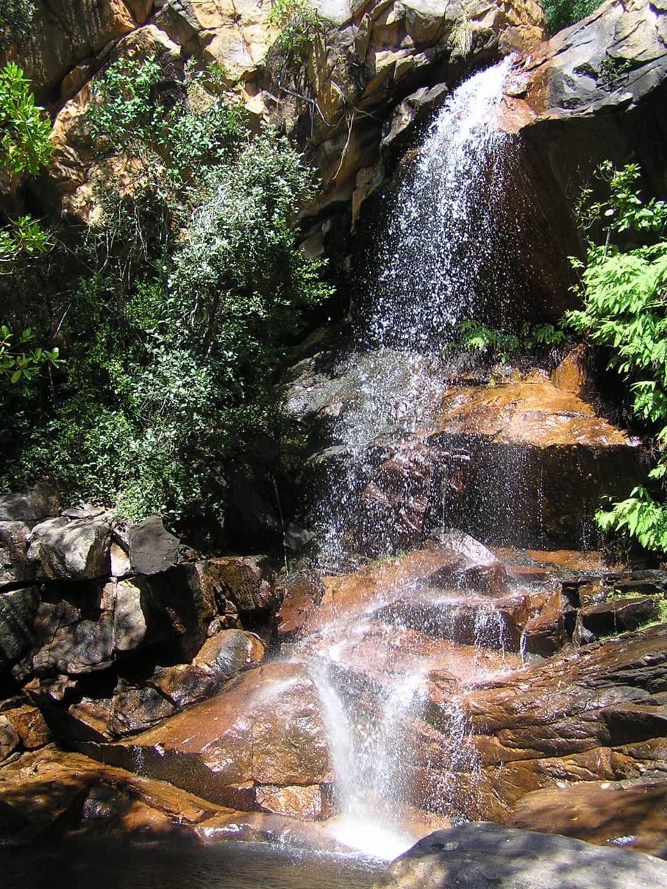 Sight · 10.9 km awayBoulder Creek FallsA short wet-season walk ends at cascades in shaded monsoon forest.Sight · 12.9 km awayMotor Car FallsA long walk ends at a shaded 20-metre waterfall and pool.Sight · 13.1 km awayMagukA rainforest walk opens onto a waterfall in a stone amphitheatre.
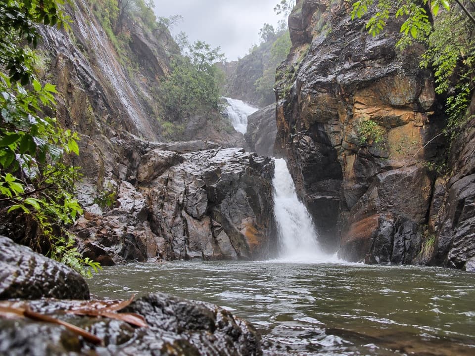 Sight · 14.2 km awayKurrundie FallsTwo cascades in a remote gorge, reached by an unmarked bushwalk.
Parkwolf’s Kakadu ranking

The audio tour guide for the drive, plus offline maps, trails, and wildlife heatmaps for when the signal drops.