Pros & cons
PROS
- National Register–listed archaeological landscape with deep time depth
- Wild, undeveloped coastal setting far from park crowds
CONS
- No facilities or marked trails; strictly leave-no-trace around cultural materials
- Access is by boat or floatplane only and highly weather- and tide-dependent
Overview
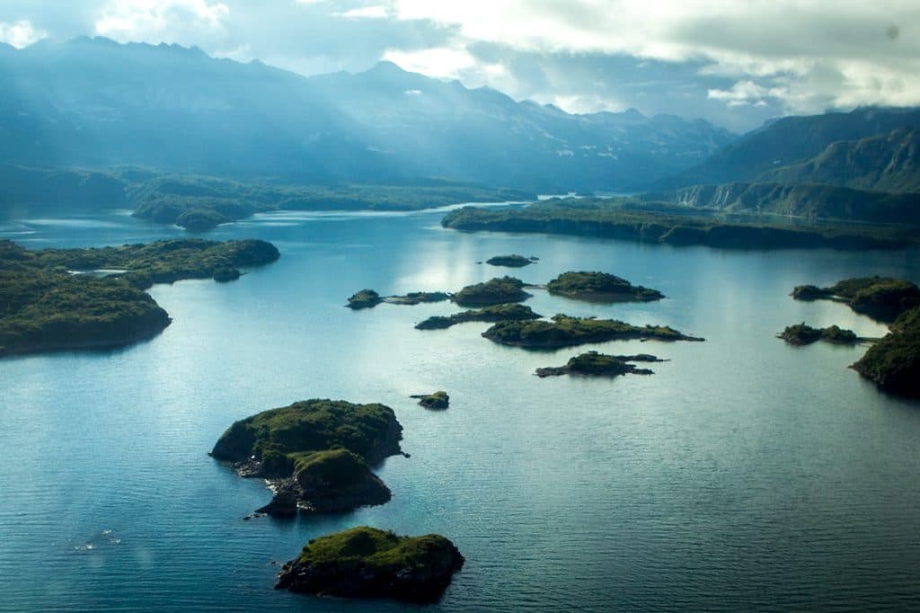
Takli Island Archeological District sits on Katmai’s wild Pacific coast, a remote cluster of sites that tell a long human story in a place most visitors never see. It’s recognized on the National Register of Historic Places for its rich archaeological record, and it’s part of the broader Amalik Bay area—one of the most significant concentrations of prehistoric sites in the park.
Why it matters
Archaeological evidence here spans thousands of years, including the Takli Period–Birch Phase (about 4,500–2,800 years ago). Early residents built homes on tiny islands in Amalik Bay, leaving behind hunting, fishing, and household artifacts that help archaeologists piece together coastal lifeways over millennia.
What you’ll (and won’t) find
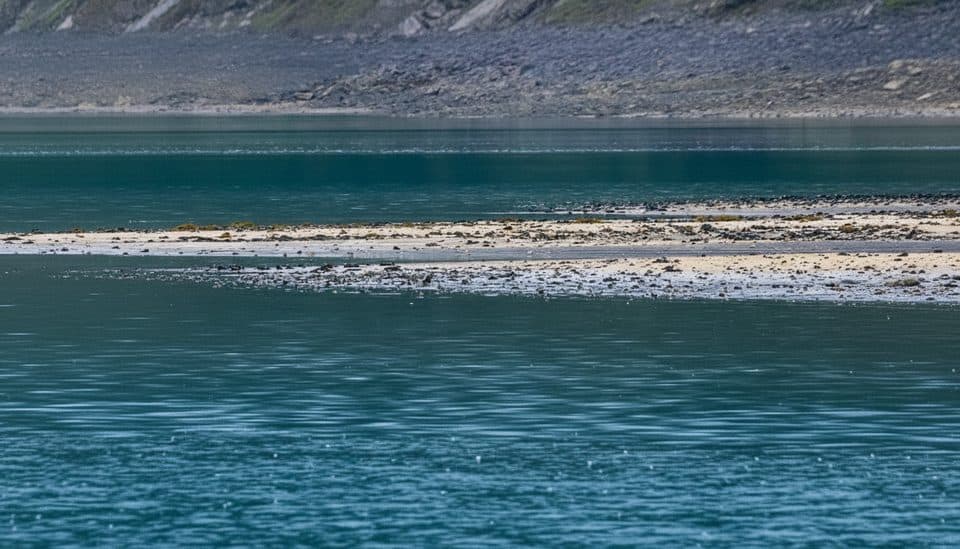
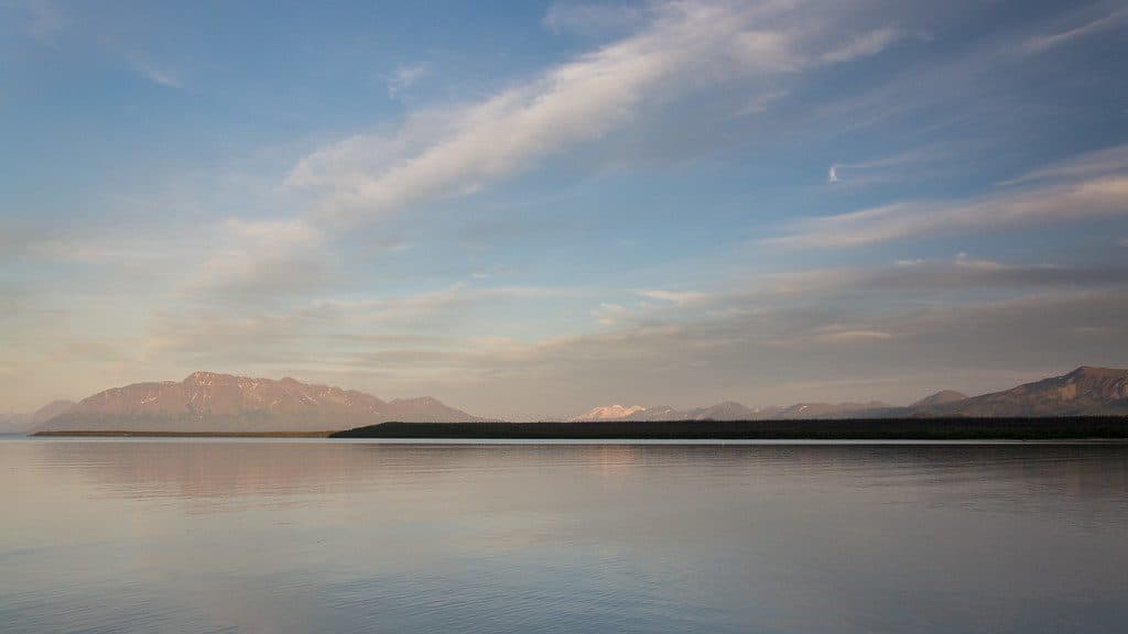
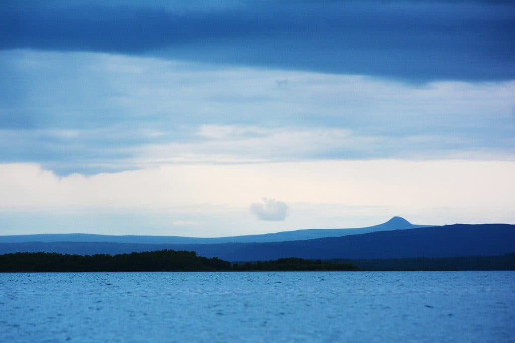
This is pure backcountry: no restrooms, no trails, no signs, no picnic tables, no roads. Expect a raw, windswept coastline, tidal rock, and views across Shelikof Strait’s volcanic skyline. Cultural materials may be present—look, learn, and leave them undisturbed. Collecting or disturbing artifacts is illegal and damages the record.
Wildlife
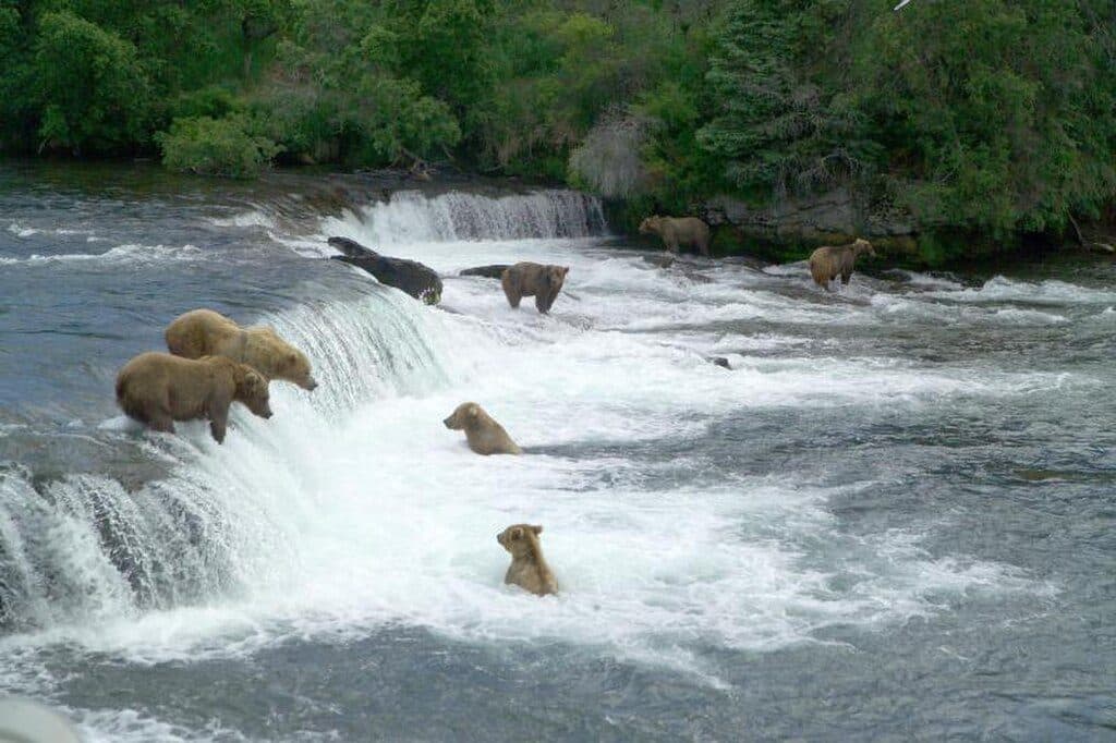
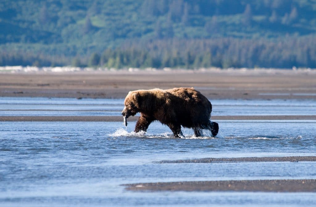
You’re in prime bear country. Brown bears roam the coast and patrol salmon streams, and marine mammals and seabirds are common along the bay. Plan and behave with bears in mind—keep a clean camp and give animals space.
Getting there & logistics
There is no road access. Reaching Takli/Amalik Bay generally means chartering a boat or floatplane, and every plan is at the mercy of weather, seas, and tides. Build flexibility into your schedule and be fully self-sufficient for food, water, and waste.
Best time to visit
Summer offers the most reliable flying and boating windows, but even then, conditions change fast. There are no crowds to dodge—your limiting factors are weather, daylight, tides, and charter availability. For photography, early and late light can be gorgeous; just time shore work with the tide.

Good to know
- This is a sensitive archaeological landscape—observe, don’t touch.
- All the usual Katmai rules apply: bear-aware travel, food storage, and minimal-impact camping.
- Outside Brooks Camp, developed trails and facilities essentially don’t exist; plan accordingly.
Where it is
58.0625, -154.4970Tips for Takli Island Archeological District
- 01Arrange a charter floatplane or boat and pad your schedule for weather and tides.
- 02Do not touch or collect artifacts—photograph and leave everything in place.
- 03Carry bear spray, store food properly, and give bears a wide berth.
- 04There are no facilities—pack out all waste and bring your own water treatment.
- 05Check in with park staff for current guidance on backcountry travel in Amalik Bay.
Near Takli Island Archeological District
All places →All trails →
0.9 mi awayAmalik BayRaw, boat-in bay with zero services and serious solitude
4.6 mi awayKinak BayRemote coastal bay for wild, uncrowded bear viewing by boat
4.7 mi awayGeographic HarborRemote bay for summer brown bear viewing by boat or floatplane
17.8 mi awayKaflia BayRaw coastal bay, bears, and big tide logistics
57.7 mi awayBrooks River Elevated BoardwalkElevated stroll to world-class bear viewing on the Brooks RiverEasy · 2.2 mi · 1 hr
Brooks Falls TrailShort, flat walk to world-class brown bear viewing platformsEasy · 1.2 mi · 30 min
Dumpling Mountain TrailBig Brooks Camp views, real tundra, and real bear countryChallenging · 8 mi · 5.3 hr
Cultural Site TrailA flat, 0.5-mile walk to a reconstructed Alutiiq home by Brooks River.Easy · 0.5 mi · 15 min