Parking
There is no ordinary drive-up trailhead lot. Start at Robert F. Griggs Visitor Center, about 23 road miles from Brooks Camp; use the reserved Valley tour or arrange concessionaire drop-off and pick-up.
#4 of 7 trails in Katmai
Katmai National Park, AK
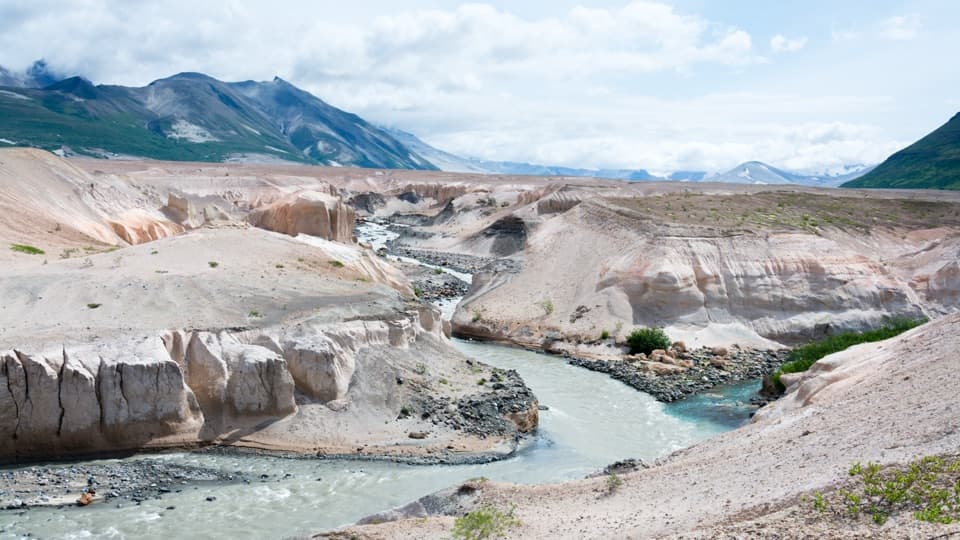
Watch the Lethe and Windy Creek form the Ukak River.
Photo: Christoph Strässler from Oberdorf BL, Schweiz, CC BY-SA 2.0, via Wikimedia Commons
Overview
Map & elevation
Plan your hike

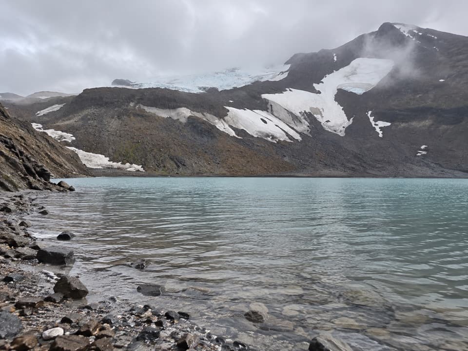
The highest, rockiest slopes around here are a summer buffet for grizzly bears.
Katmai Tour Guide
Parkwolf is a GPS audio tour guide for Katmai National Park. As you drive, it chimes in with what’s ahead: hidden gems, upcoming stops, history, geology, and wildlife, right through your car’s speakers.
Recorded for this trailhead
Robert F. Griggs Visitor Center“You're coming up on Robert F. Griggs Visitor Center at Three Forks, overlooking the Valley of Ten Thousand Smokes.”
Plays as you drive up to this trailhead in the Parkwolf Katmai Tour Guide.
More stories near here in the app
“Fantastic app with many points of information… It’s great to just turn on while you’re driving and it gives you an audio tour of the national Park. We love it!!!!”


Trail guide
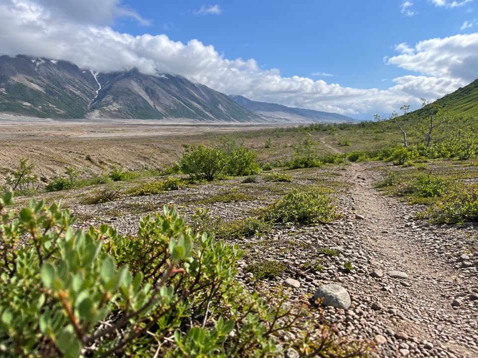
Confluence Trail to Three Forks is a 2.6-mile out-and-back from Robert F. Griggs Visitor Center to Three Forks Overlook and back. The path drops about 550 feet into the Valley of Ten Thousand Smokes; allow two to three hours for the hike and time at the rivers. I'd choose it if you want to leave the overlook and see the river canyons up close. At Three Forks, the Lethe and Windy Creek meet to form the Ukak River, which flows toward Ukak Falls.
The mapped route descends from the overlook and retraces the same path uphill. The last return is the work: you regain roughly the same 550 feet you dropped on the way down. Route descriptions don't give a dependable account of the tread or shade, so ask about the day's route before committing.
Robert F. Griggs Visitor Center is about 23 road miles from Brooks Camp. There's no ordinary drive-up trailhead; access is generally through the seasonal, fee-based Valley bus tour with advance reservations, or a concessionaire drop-off and pick-up arranged for backcountry travel. Pit toilets are near the visitor center; no facilities are listed at Three Forks.
The National Park Service separately describes a 3.4-mile ranger-led Valley-floor hike with 1,000 feet of elevation change, but it doesn't name Three Forks. This listing follows the shorter 2.6-mile mapped confluence route. Ask the ranger which walk is available and whether Three Forks is the destination before heading down. Pets are allowed in Katmai's backcountry when kept under physical control; check your transport operator's rules if you bring one.
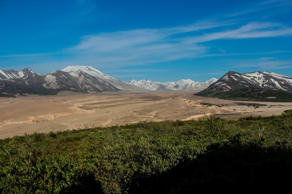
Novarupta's 1912 eruption sent ash and pumice flows down the Ukak River valley, transforming about 40 square miles. Water in those deposits flashed to steam and created fumaroles that inspired the Valley of Ten Thousand Smokes name. The pale ash walls and branching river canyons around Three Forks are part of that eruption's legacy.
No river crossing is shown on the mapped route. The National Park Service warns that suspended ash and glacial sediment hide the depth of the Valley's swift rivers. Don't try a ford to extend the walk.
Wildlife
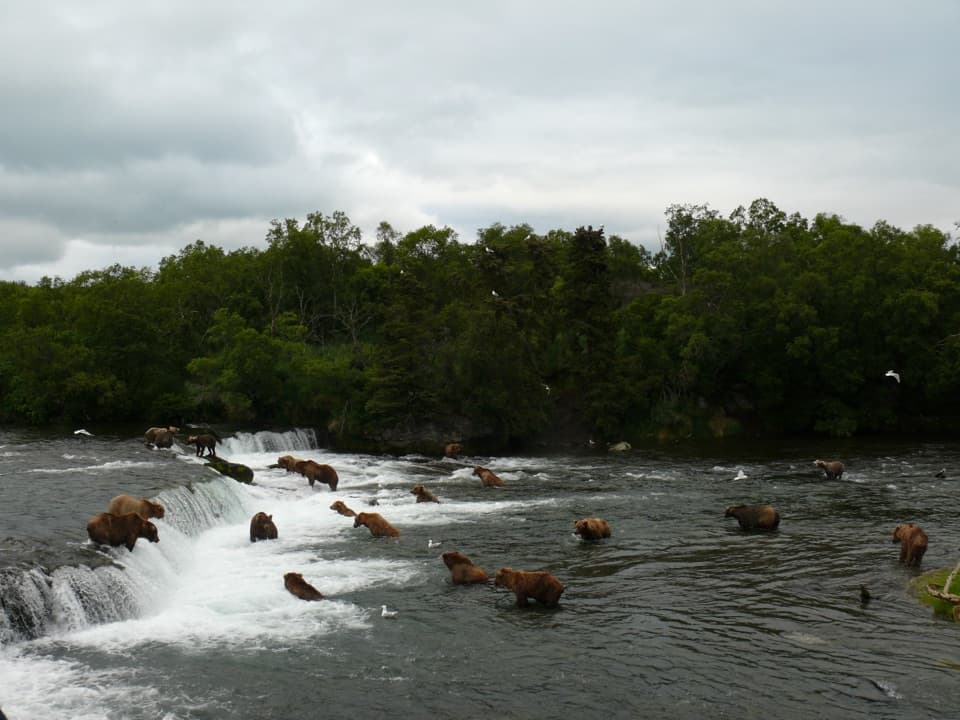
 753 sightingsBrown BearMost seen around 7 PMSighting map
 55 sightingsSockeye SalmonMost seen around 11 AMSighting map
 15 sightingsWolfMost seen around 9 PMSighting map
 68 sightingsBald EagleMost seen around 5 PMSighting map
 19 sightingsMooseMost seen around 6 AMSighting map
 19 sightingsBelted KingfisherMost seen around 7 AMSighting map
Sighting maps show where each species has been reported across Katmai. Wildlife moves, so no sighting is guaranteed.
Keep exploring
Parkwolf’s Katmai ranking

The audio tour guide for the drive, plus offline maps, trails, and wildlife heatmaps for when the signal drops.