Parking
Start at the Lake Brooks Road Y, 0.7 mile from the South Platform at Brooks Camp. The Valley Road is unconnected to the larger road network, so there is no drive-in trailhead.
#7 of 7 trails in Katmai
Katmai National Park, AK
A 23-mile walk through forest to a valley remade by eruption.
Photo: NPS Photo / M. Fitz
Overview
Map & elevation
Plan your hike

The highest, rockiest slopes around here are a summer buffet for grizzly bears.
Katmai Tour Guide
Parkwolf is a GPS audio tour guide for Katmai National Park. As you drive, it chimes in with what’s ahead: hidden gems, upcoming stops, history, geology, and wildlife, right through your car’s speakers.
Recorded for this area
Lake Brooks Road“You're approaching the access to Lake Brooks, at the head of Brooks River. The full walk from the lower river platforms is an easy two miles out and back along an access road; allow about an hour.”
Plays near this trailhead in the Parkwolf Katmai Tour Guide.
More stories near here in the app
“Fantastic app with many points of information… It’s great to just turn on while you’re driving and it gives you an audio tour of the national Park. We love it!!!!”


Trail guide
This is a 23-mile, one-way walk from the Lake Brooks Road Y to Three Forks Overlook, following a single-lane gravel road all the way. The 23 miles are the road itself; the Y is another 0.7 mile along Lake Brooks Road from the South Platform at Brooks Camp. Allow about nine hours on the road, then extra time for stops and crossings. The grade is gentle, but the distance, remote setting and three fords make this a hard full-day outing. Tour vehicles use the road, too. Ask Katmailand about a drop-off and later pickup through the Valley tour if you want to walk it one way. Without a ride, walking out and back from the South Platform adds up to about 47.4 miles. Shorter walks along the road are possible, but they won't take you to Three Forks.
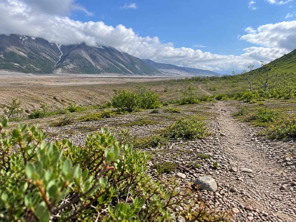
From the Lake Brooks Road Y, the road spends most of its length in dense boreal forest. The park marks a particularly scenic stretch around mile 7.5; views open up more often beyond the first stream crossing, around mile 12. That means the first part can feel like a long approach before the landscape starts to widen. Keep the Valley Road's three river crossings in mind as you plan your turnaround; there are no bridges.
Ash and glacial sediment can make the rivers' depth hard to judge, while narrow gorges can hide swift water. If you can't find a safe crossing, don't try to force it; you may need to wait a day or turn back. Cold, wet weather can arrive even in summer, so this is a poor place to count on a quick finish. Check crossing conditions with the park before committing, and remember that this is a gravel road shared with tour buses, not a footpath separated from traffic.
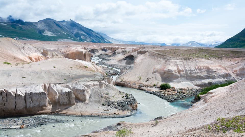
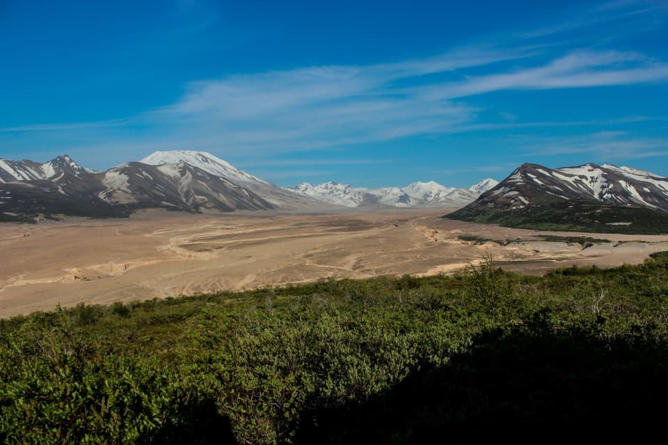
The road ends at Three Forks Overlook, at the northern rim of the Valley of Ten Thousand Smokes. The broad ash basin and its branching river canyons were shaped by Novarupta's June 1912 eruption. The eruption lasted about 60 hours and sent ash as high as 20 miles; flows of ash and pumice transformed roughly 40 square miles of the Ukak valley. Steam vents that emerged from the hot ash gave the valley its name. At the overlook, frame the river-cut plain with the volcanic peaks behind it; that wide view is the payoff for the long forest approach.
The road was surveyed in 1961 and built in 1962 as part of Mission 66. Its narrow, curving line follows the land instead of cutting a broad corridor through it, and the original design aimed to reveal views of the volcanic landscape. The road is therefore more than a way to reach the Valley: it was deliberately shaped as a scenic approach. Wildlife in this country can include bears, ground squirrels, ptarmigan and caribou, though sightings are never guaranteed.
Reach the Valley Road Y by following Lake Brooks Road 0.7 mile from the South Platform. The road has no connection to the larger road network, so this is not a drive-in trailhead. A covered picnic area, food cache and vault toilet are at Lake Brooks, a separate stop; no food service is identified along Valley Road. Backcountry permits aren't required, but the park recommends filing a trip plan and requires bear-resistant containers for food and scented items when they're not in use. Pets and service animals are prohibited in the Brooks Camp Developed Area, a 1.5-mile radius around Brooks Falls Platform, from May 1 through October 31; the Valley Road Y is inside that area. Pets are allowed elsewhere in the backcountry only when under physical control.
Wildlife
 753 sightingsBrown BearMost seen around 7 PMSighting map
 55 sightingsSockeye SalmonMost seen around 11 AMSighting map
 15 sightingsWolfMost seen around 9 PMSighting map
 68 sightingsBald EagleMost seen around 5 PMSighting map
 19 sightingsMooseMost seen around 6 AMSighting map
 19 sightingsBelted KingfisherMost seen around 7 AMSighting map
Sighting maps show where each species has been reported across Katmai. Wildlife moves, so no sighting is guaranteed.
Keep exploring
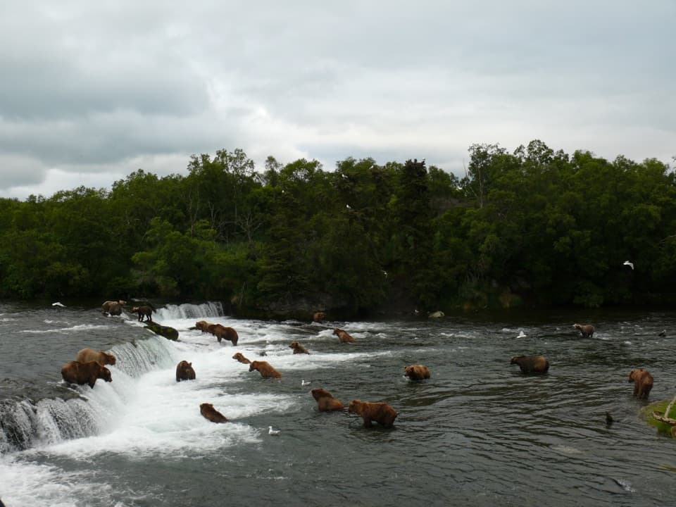 EasyBrooks Falls Trail1.2 mi · 1 hr · 0.3 mi awayA short forest walk to bear-viewing platforms over Brooks River.
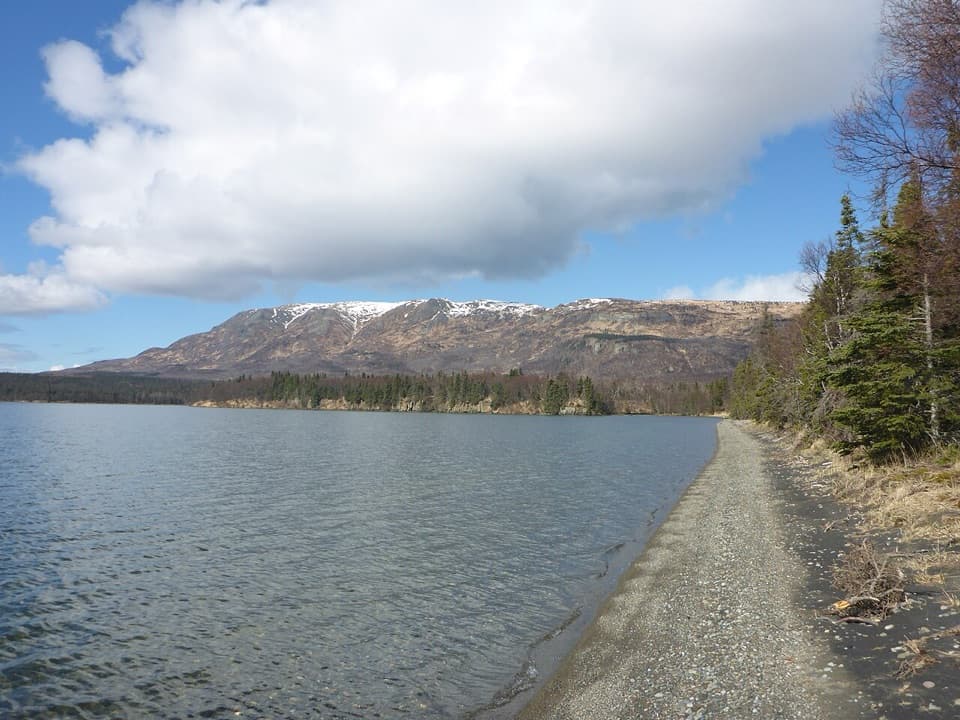 EasyLake Brooks Road2 mi · 1 hr · 0.5 mi awayEasy road walk to Lake Brooks and the head of Brooks River
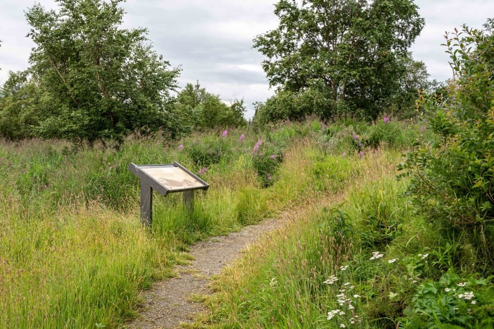 EasyBrooks Camp Cultural Site Trail0.5 mi · 30 min · 0.7 mi awayA level half-mile out-and-back to a reconstructed Alutiiq/Sugpiaq home.
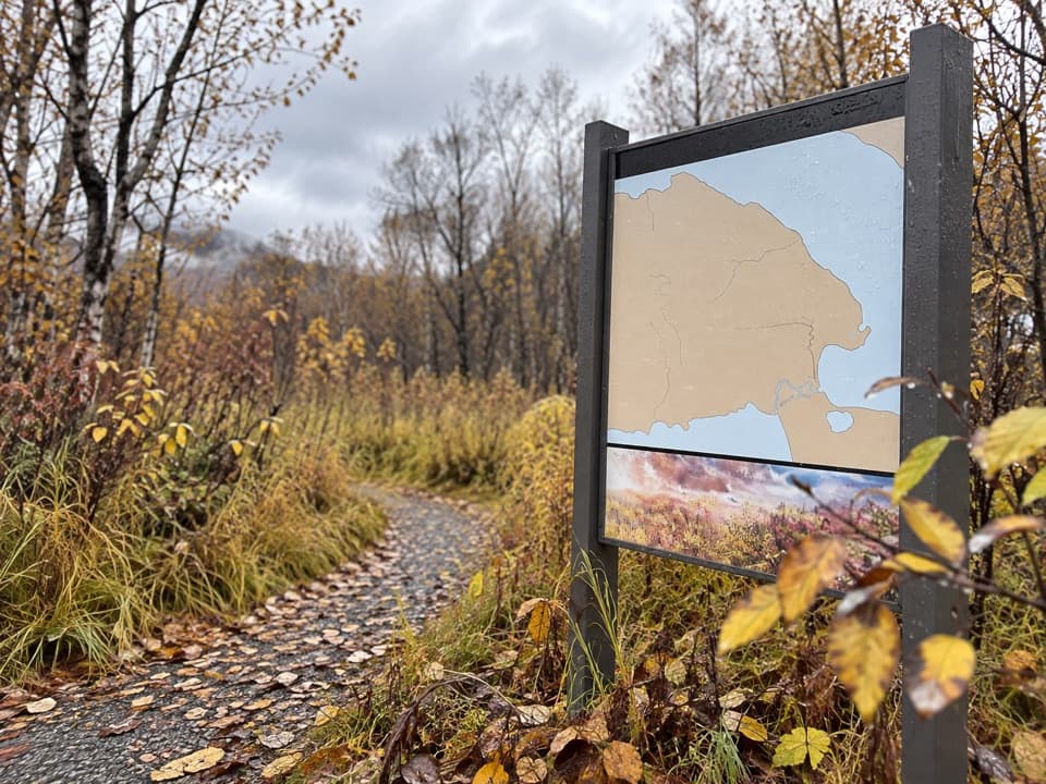 ChallengingDumpling Mountain Trail3 mi · 3.5 hr · 1 mi awayThree lakes and a river open up after a steep climb.
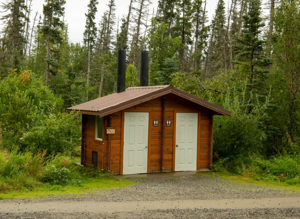 Restroom · 0.3 mi awayFalls Trail OuthouseA practical restroom stop before the walk to Brooks Falls.
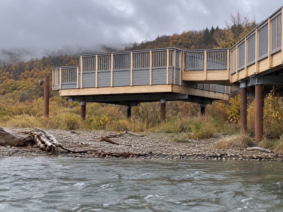 Sight · 0.5 mi awaySouth PlatformWatch bears work the lower river where it opens into Naknek Lake.
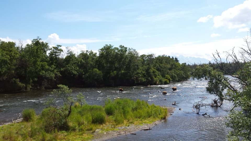 Sight · 0.5 mi awayRiffles PlatformA different angle on Brooks River bears, with no viewing time limit.
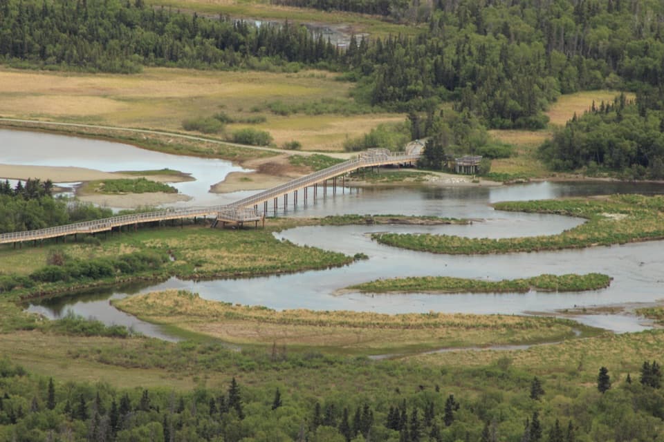 Sight · 0.6 mi awayNorth PlatformA flexible bear-viewing stop where Brooks River meets Naknek Lake.
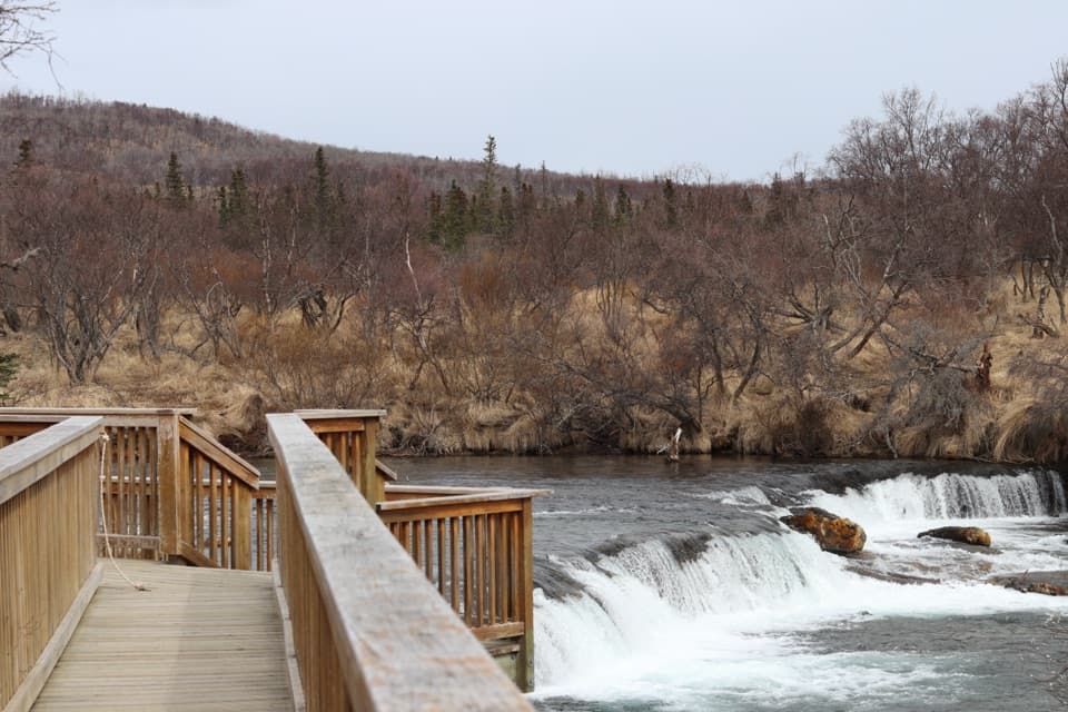 Sight · 0.6 mi awayBrooks Falls PlatformWatch bears fish where a low waterfall stalls migrating salmon.
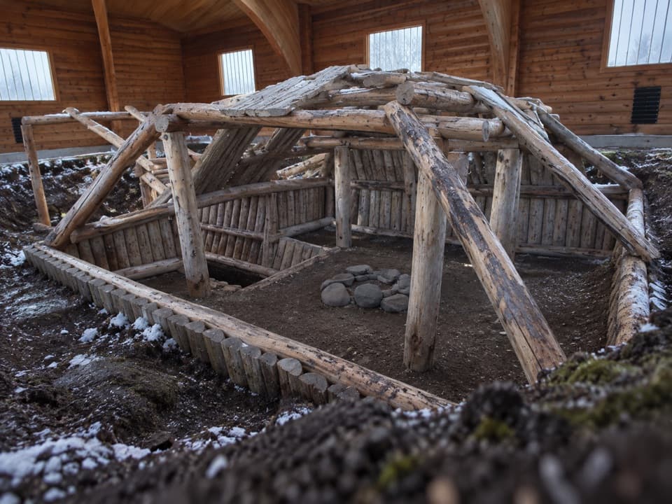 Sight · 0.6 mi awayBrooks Camp Cultural SiteSee inside an Alutiiq house rebuilt over an excavated footprint.
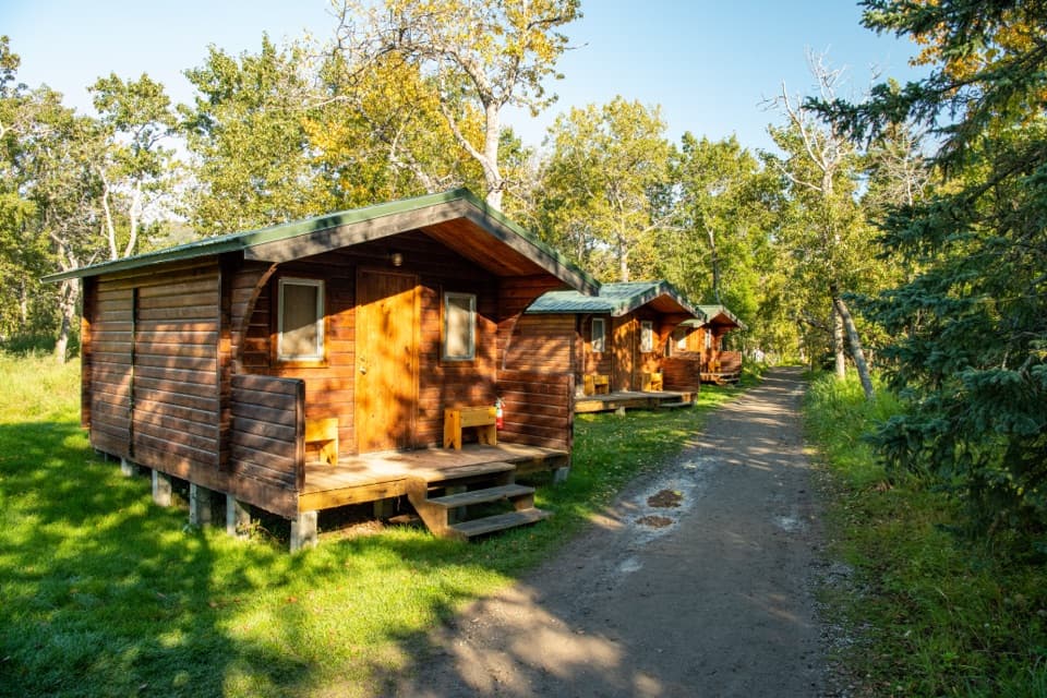 Lodging · 0.6 mi awayBrooks LodgeA remote lodge with meals and a trading post at camp.
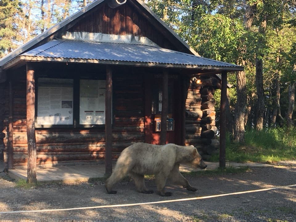 Visitor center · 0.7 mi awayBrooks Camp Visitor CenterStart here for bear orientation, backcountry help, and camp check-in.
Parkwolf’s Katmai ranking

The audio tour guide for the drive, plus offline maps, trails, and wildlife heatmaps for when the signal drops.