Parking
The start is an unmarked Valley Road pullout. Ask the shuttle driver for a drop there, or walk about one mile from Three Forks Visitor Center.
#5 of 7 trails in Katmai
Katmai National Park, AK
A rough path into ash plains and broad volcanic views.
Overview
Map & elevation
Plan your hike

The highest, rockiest slopes around here are a summer buffet for grizzly bears.
Katmai Tour Guide
Parkwolf is a GPS audio tour guide for Katmai National Park. As you drive, it chimes in with what’s ahead: hidden gems, upcoming stops, history, geology, and wildlife, right through your car’s speakers.
Recorded for this trailhead
Windy Creek Trail“You're nearing the unmarked Valley Road pullout for Windy Creek Trail. This is a full-day backcountry hike into open volcanic country, with views toward Mount Griggs and the Buttress Range.”
Plays as you drive up to this trailhead in the Parkwolf Katmai Tour Guide.
More stories near here in the app
“Fantastic app with many points of information… It’s great to just turn on while you’re driving and it gives you an audio tour of the national Park. We love it!!!!”


Trail guide
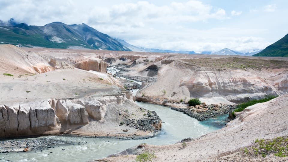
Windy Creek Trail is an out-and-back social trail from an unmarked pullout on Valley Road into the Valley of Ten Thousand Smokes. The mapped corridor runs about 5.2 miles to the end of the social tread; retrace it for about 10.4 miles round trip. Allow 7–9 hours. This is a hard, unmaintained backcountry walk, with a creek ford and loose volcanic ground. The way out drops from the road, so save energy for the long climb back.
Getting to the trailhead is part of the trip. Most visitors reach Brooks Camp by floatplane, then take the shuttle bus to Three Forks. Ask the driver for a drop at the Windy Creek pullout; from the Three Forks Visitor Center, the pullout is about a mile walk. It is an unmarked roadside access, not a signed trailhead. Backcountry travel does not require a permit, though the park recommends filing a trip planner.
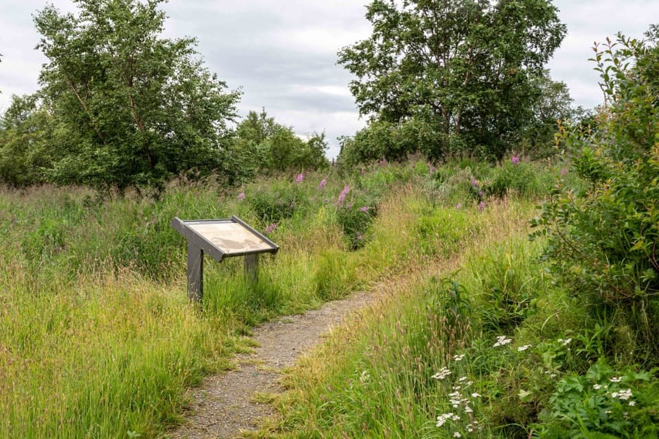
The social tread descends through dense cow parsnip, then levels across a short tundra bog. The ground firms up and the view opens toward Mount Juhle and Mount Griggs above the lower Valley. Avoid brushing through cow parsnip: its sap can irritate skin and cause blisters.
At Windy Creek, expect a ford. One ranger described water about knee deep on that trip; the depth changes. The far bank is harder to read: several animal and social tracks pass through alder, and the actual route makes a short jog back before crossing a meadow and embankment. Keep checking the line rather than following the clearest-looking track.
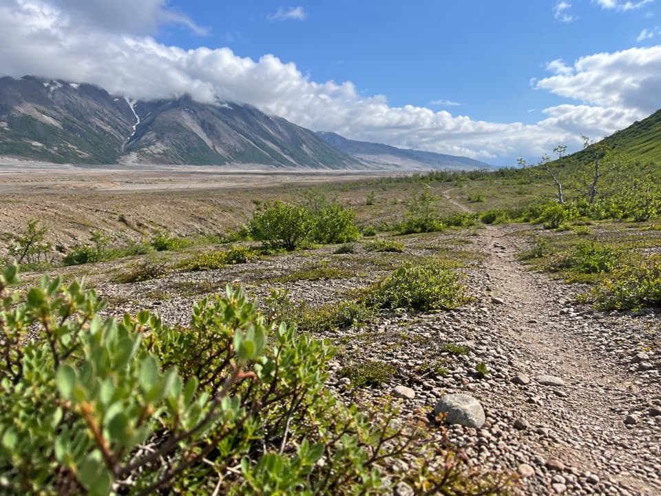
Past the creek, alder and smaller streams interrupt broad stretches of volcanic sediment as the route wraps around the west end of the Buttress Range. Loose ash can slide underfoot like sand, especially on the embankments. The Valley is exposed to strong winds that can blow ash across the open ground, and water can be scarce; sediment-heavy rivers are difficult to filter.
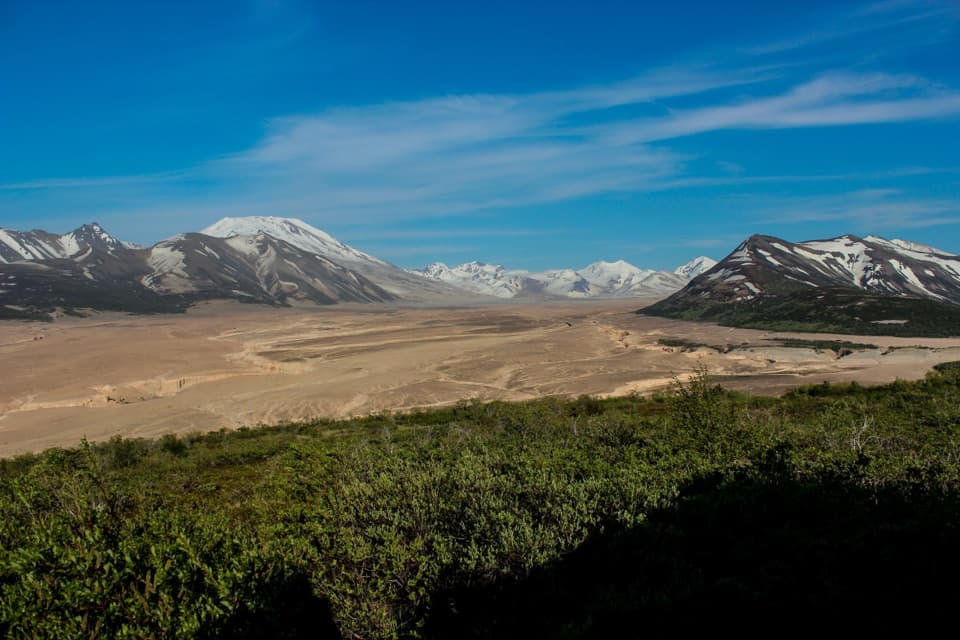
The trail ends roughly 5–6 miles from the pullout, at a stream in a bowl on the range side. From there, the view opens across much of the Valley, including Mount Griggs, Baked and Broken Mountains, Trident and Mageik. This is the end of the established social tread, not a marked route onward to Novarupta or Mageik Lakes. Beyond it, travel is cross-country and requires map-and-compass navigation. Retrace the same corridor unless you have planned for that kind of backcountry route.
Katmai is bear country, and a bear-resistant food container is required in the backcountry. Pets are allowed there if kept under physical control. Plan this as a serious day out, not a quick viewpoint walk.
For a shorter outing from Three Forks, the maintained Ukak Falls Trail begins at the visitor-center steps and runs about 1.5 miles one way to Ukak Falls and the confluence of the River Lethe, Knife Creek and Windy Creek. It is a separate route, but a better fit if you want a defined trail without the long ford-and-ash walk.
Wildlife
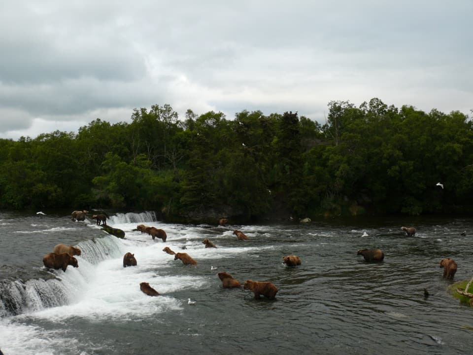
 753 sightingsBrown BearMost seen around 7 PMSighting map
 55 sightingsSockeye SalmonMost seen around 11 AMSighting map
 15 sightingsWolfMost seen around 9 PMSighting map
 68 sightingsBald EagleMost seen around 5 PMSighting map
 19 sightingsMooseMost seen around 6 AMSighting map
 19 sightingsBelted KingfisherMost seen around 7 AMSighting map
Sighting maps show where each species has been reported across Katmai. Wildlife moves, so no sighting is guaranteed.
Keep exploring
Parkwolf’s Katmai ranking

The audio tour guide for the drive, plus offline maps, trails, and wildlife heatmaps for when the signal drops.