Parking
Start at the trailhead across from Brooks Camp Visitor Center. Most visitors reach Brooks Camp by floatplane, then walk to the trail.
#3 of 7 trails in Katmai
Katmai National Park, AK
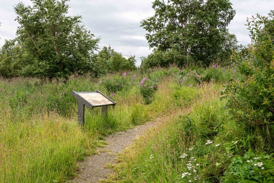
A level half-mile out-and-back to a reconstructed Alutiiq/Sugpiaq home.
Photo: NPS Photo/L. Law
Overview
Map & elevation
Plan your hike

The highest, rockiest slopes around here are a summer buffet for grizzly bears.
Katmai Tour Guide
Parkwolf is a GPS audio tour guide for Katmai National Park. As you drive, it chimes in with what’s ahead: hidden gems, upcoming stops, history, geology, and wildlife, right through your car’s speakers.
Recorded for this area
Lower Brooks River Platforms“Up ahead are the North and South platforms, overlooking the lower Brooks River where it opens into Naknek Lake.”
Plays on the road 0.2 mi from the trailhead in the Parkwolf Katmai Tour Guide.
More stories near here in the app
“Fantastic app with many points of information… It’s great to just turn on while you’re driving and it gives you an audio tour of the national Park. We love it!!!!”


Trail guide
Brooks Camp Cultural Site Trail is an easy, nearly level 0.5-mile out-and-back from across Brooks Camp Visitor Center to a reconstructed traditional Alutiiq/Sugpiaq home. It is a half-hour cultural stop, not a long hike. Katmai describes the path as wheelchair accessible, though the unpaved surface can be muddy. The trailhead sign calls it the Oxbow Overlook Trail; this entry covers the documented route to the Cultural Site. If you’re looking for a longer Oxbow route, check with a ranger before setting out.
The marked path runs through the woods to a series of cultural stops, then turns back from the homesite. The panels make the river valley part of the story: Brooks River has shifted course and its water levels have changed over time. The area has more than 900 house depressions near the river and is recognized as an archaeological district as well as a National Historic Landmark. Look for how easily traces of homes can blend into the ground around you.
One wayside describes what life may have looked like about 700 years ago. Summer meant catching salmon with nets and harpoons, drying fish for winter, and gathering plants and berries. The interpretation also describes people following caribou south and returning to semi-subterranean homes for winter. The reconstructed house at the end gives that history a shape you can stand beside; the archaeological record and Alutiiq oral traditions tell a much longer story than the replica alone.
The restroom is near the Visitor Center, right by the trailhead. All visitors to Brooks Camp must attend the brief bear-safety talk. Brown bears use the area, and Katmai warns that paths can be muddy and visitors may need to step aside for bears. Pets and service animals are prohibited within the Brooks Camp Developed Area from May 1 through October 31. Brooks Camp is seasonal, and most visitors arrive by floatplane, so this works best as a short stop during a camp visit.
Wildlife
 753 sightingsBrown BearMost seen around 7 PMSighting map
 55 sightingsSockeye SalmonMost seen around 11 AMSighting map
 15 sightingsWolfMost seen around 9 PMSighting map
 68 sightingsBald EagleMost seen around 5 PMSighting map
 19 sightingsMooseMost seen around 6 AMSighting map
 19 sightingsBelted KingfisherMost seen around 7 AMSighting map
Sighting maps show where each species has been reported across Katmai. Wildlife moves, so no sighting is guaranteed.
Keep exploring
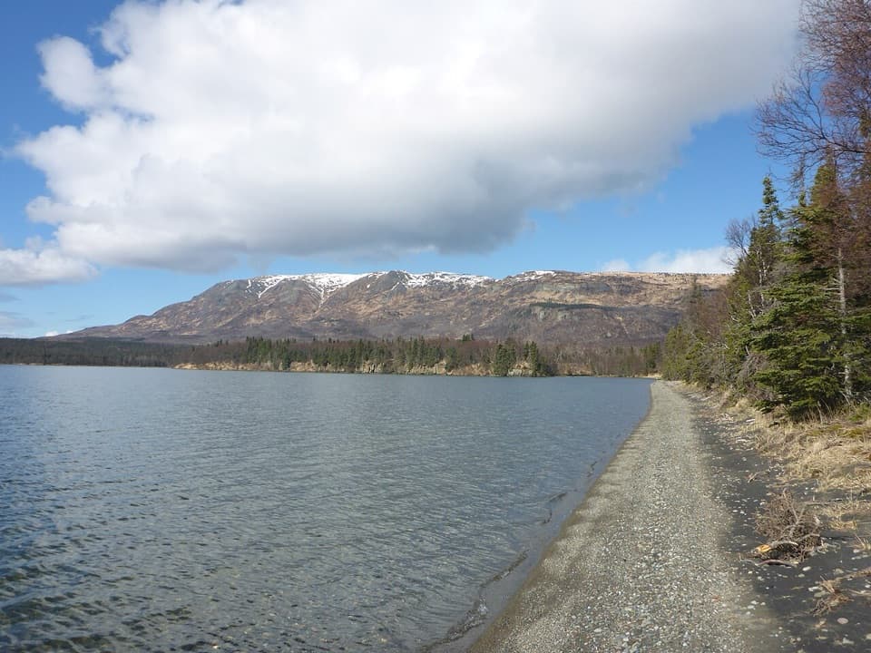 EasyLake Brooks Road2 mi · 1 hr · 0.2 mi awayEasy road walk to Lake Brooks and the head of Brooks River
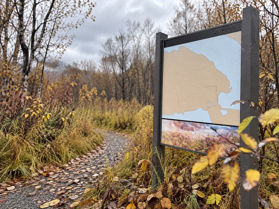 ChallengingDumpling Mountain Trail3 mi · 3.5 hr · 0.3 mi awayThree lakes and a river open up after a steep climb.
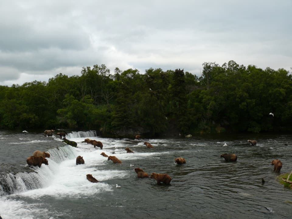 EasyBrooks Falls Trail1.2 mi · 1 hr · 0.4 mi awayA short forest walk to bear-viewing platforms over Brooks River.
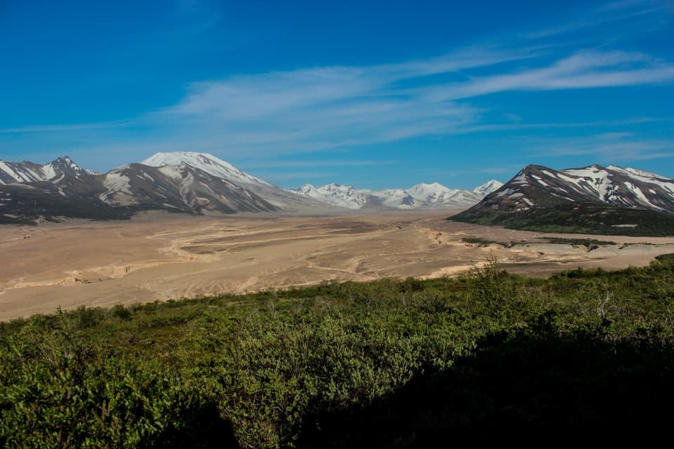 ChallengingValley of Ten Thousand Smokes Road23 mi · 9 hr · 0.7 mi awayA 23-mile walk through forest to a valley remade by eruption.
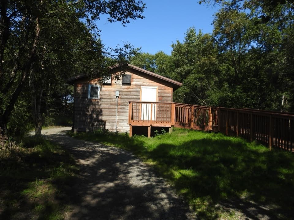 Sight · At the trailheadBrooks Camp AuditoriumA 45-minute ranger talk adds another layer to Brooks Camp
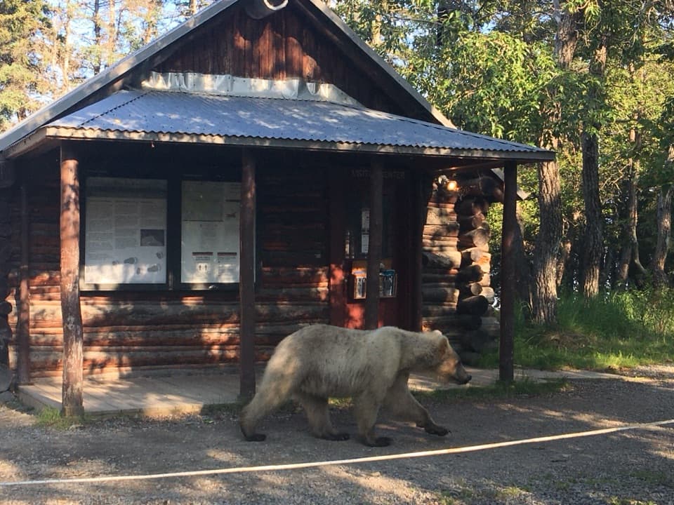 Visitor center · At the trailheadBrooks Camp Visitor CenterStart here for bear orientation, backcountry help, and camp check-in.
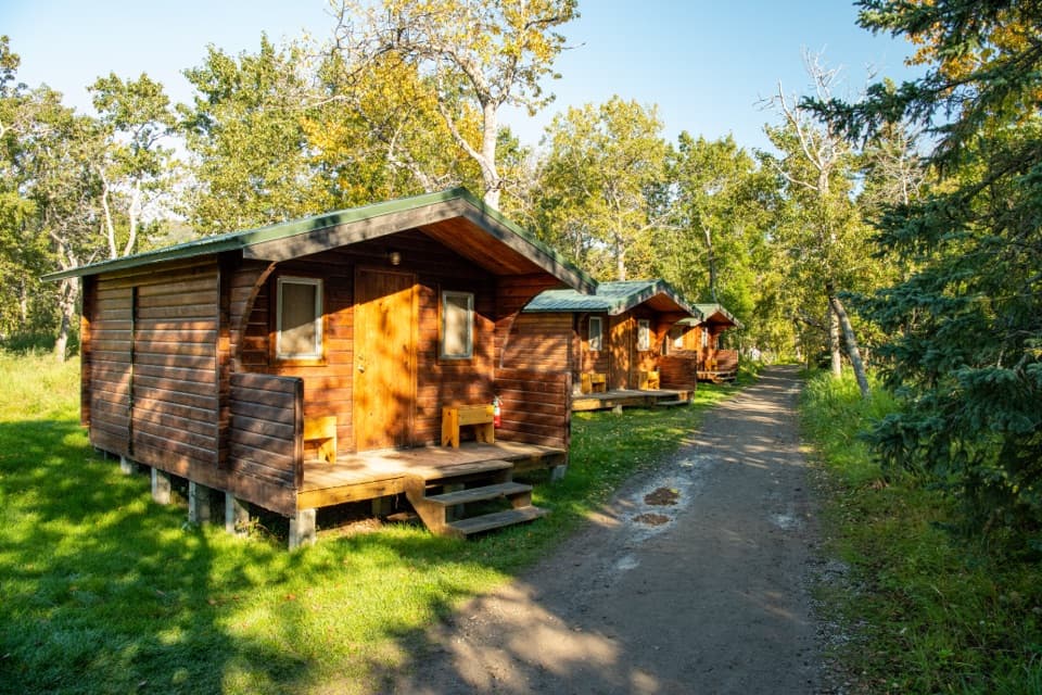 Lodging · 0.1 mi awayBrooks LodgeA remote lodge with meals and a trading post at camp.
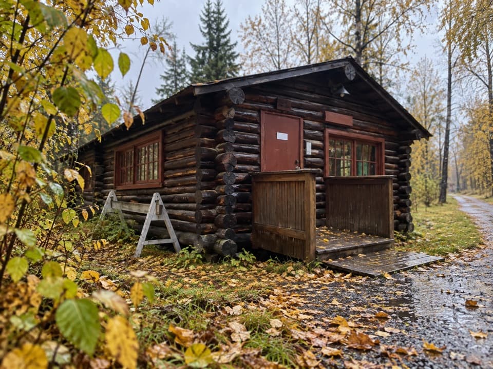 Sight · 0.1 mi awayBrooks Camp Ranger StationA former boathouse with a bear-distance cutout beside it.
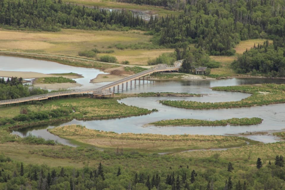 Sight · 0.1 mi awayNorth PlatformA flexible bear-viewing stop where Brooks River meets Naknek Lake.
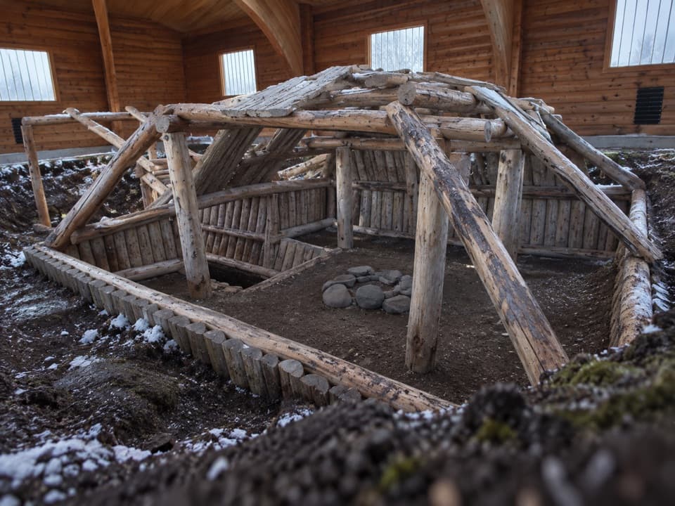 Sight · 0.2 mi awayBrooks Camp Cultural SiteSee inside an Alutiiq house rebuilt over an excavated footprint.
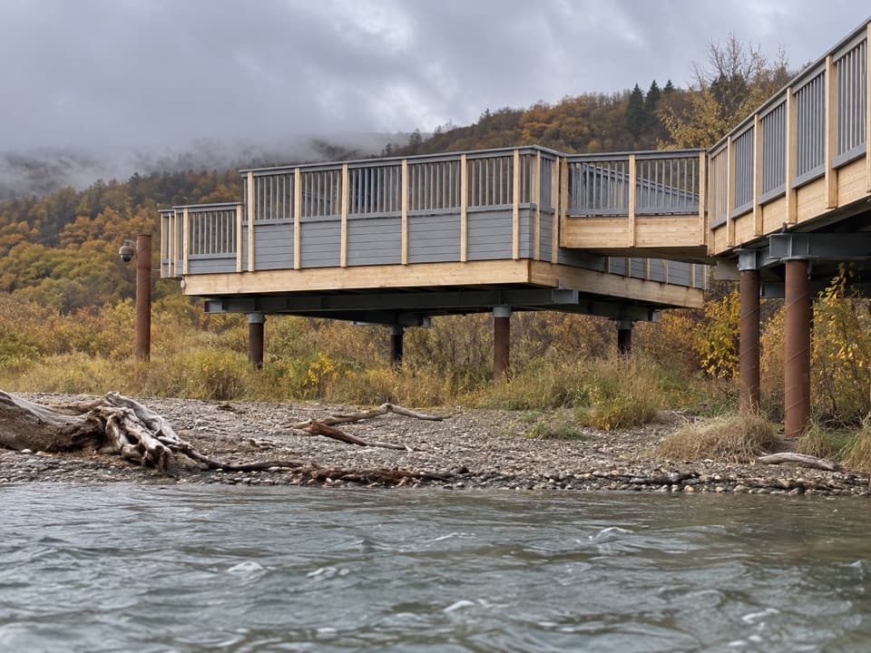 Sight · 0.2 mi awaySouth PlatformWatch bears work the lower river where it opens into Naknek Lake.
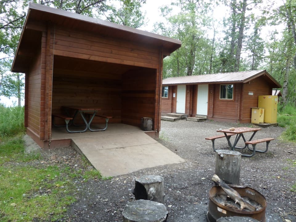 Campground · 0.3 mi awayBrooks Camp CampgroundA remote tent base near Brooks Camp’s bear-viewing country.
Parkwolf’s Katmai ranking

The audio tour guide for the drive, plus offline maps, trails, and wildlife heatmaps for when the signal drops.