

All Katmai trails
7 trails
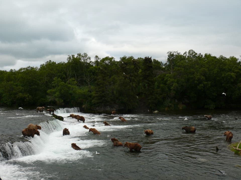 1Brooks Falls TrailA short forest walk to bear-viewing platforms over Brooks River.
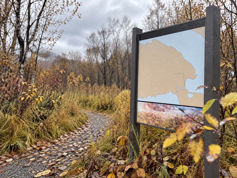 2Dumpling Mountain TrailThree lakes and a river open up after a steep climb.
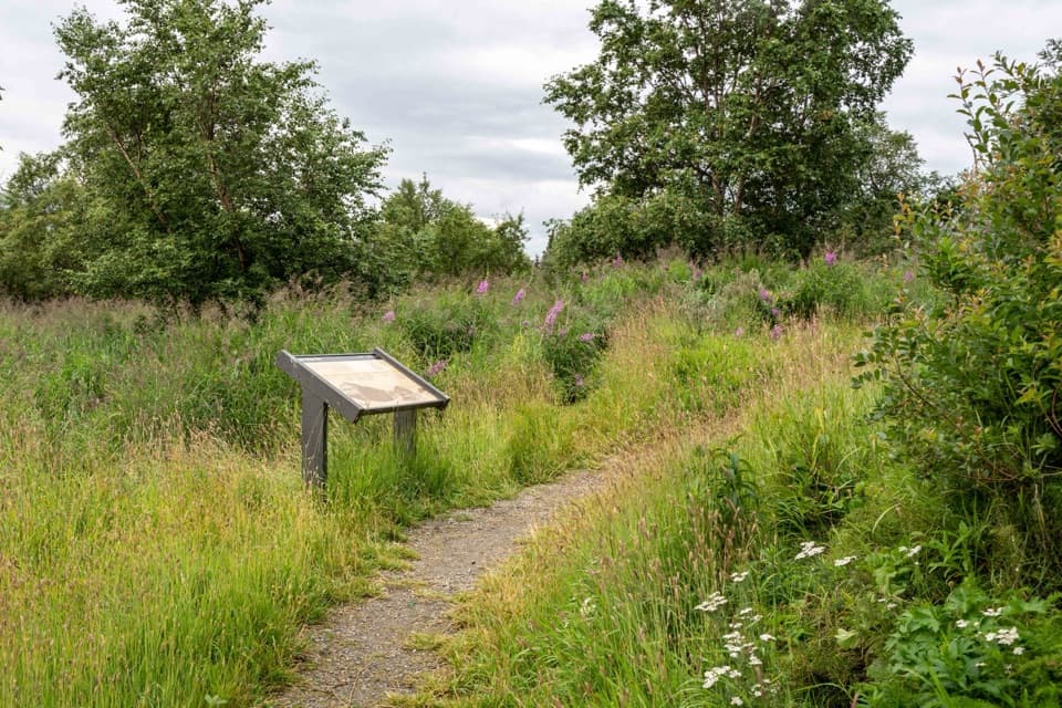 3Brooks Camp Cultural Site TrailA level half-mile out-and-back to a reconstructed Alutiiq/Sugpiaq home.
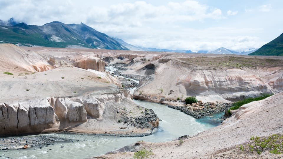 4Confluence Trail to Three ForksWatch the Lethe and Windy Creek form the Ukak River.
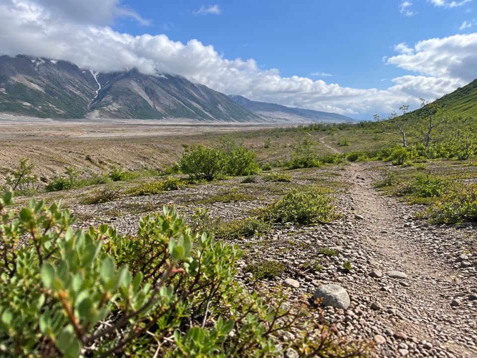 5Windy Creek TrailA rough path into ash plains and broad volcanic views.
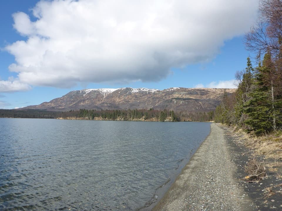 6Lake Brooks RoadEasy road walk to Lake Brooks and the head of Brooks River
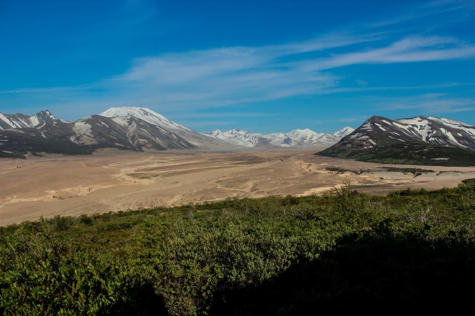 7Valley of Ten Thousand Smokes RoadA 23-mile walk through forest to a valley remade by eruption.

The highest, rockiest slopes around here are a summer buffet for grizzly bears.
Katmai Tour Guide
Katmai, narrated.
Parkwolf is a GPS audio tour guide for Katmai National Park. As you drive, it chimes in with what’s ahead: hidden gems, upcoming stops, history, geology, and wildlife, right through your car’s speakers.
Recorded for this place
Brooks Falls and Riffles0:00 / 0:34
“You're approaching the start of the walk to Brooks Falls. The waterfall is only about six feet high, but it slows migrating sockeye salmon and gives brown bears a concentrated fishing spot.”
Plays as you drive up to Brooks Falls Platform in the Parkwolf Katmai Tour Guide.
More stories near here in the app
- Lower Brooks River Platforms
- Lake Brooks Road
- A Bear’s Fishing Style
- The Songbird That Dives
- 27 audio storiesacross Katmai’s roads, triggered by GPS as you drive
- Wildlife heatmapsfor Brown Bear, Sockeye Salmon, Wolf, and 13 more
- Works offlinemaps, 7 trails, 30 places, and audio download before you lose signal
- CarPlay readysimple controls built for the drive
“Fantastic app with many points of information… It’s great to just turn on while you’re driving and it gives you an audio tour of the national Park. We love it!!!!”

