Harding Icefield Trail

Steep climb above Exit Glacier to a vast, unforgettable icefield view

LENGTH
8.2 mi
TIME
7 hr
DIFFICULTY
Challenging
DOGS
Not allowed
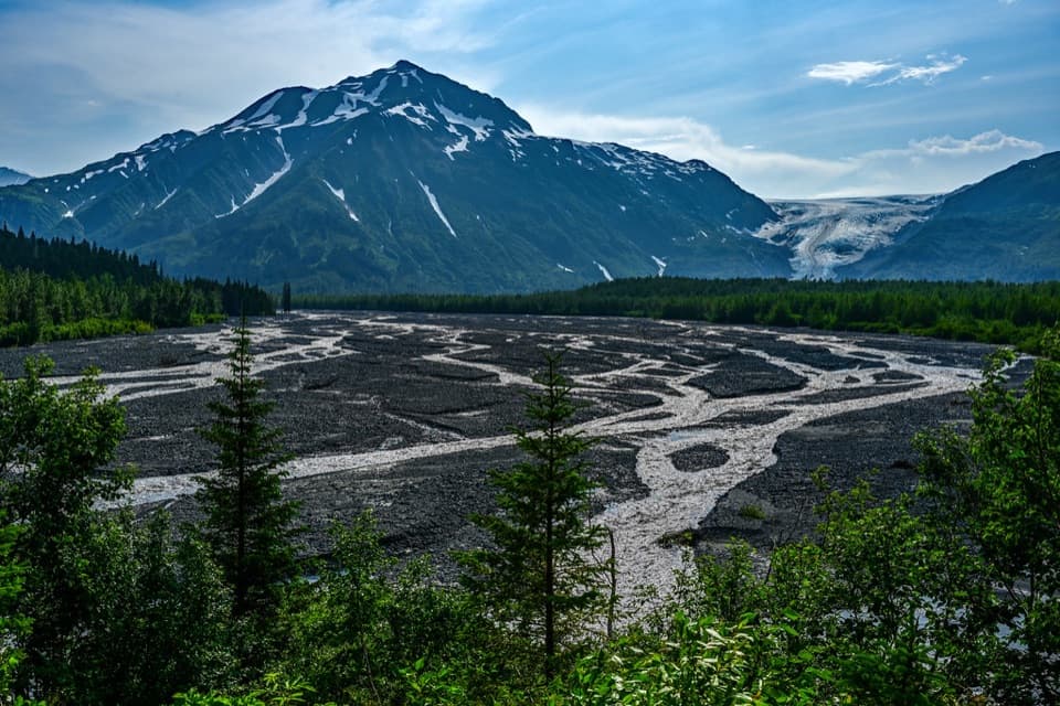
Harding Icefield Trail, Kenai Fjords National Park
Image credit: National Park Service

Pros & cons

PROS

  • Rare day-hike access to overlook a massive, 700+ square‑mile icefield
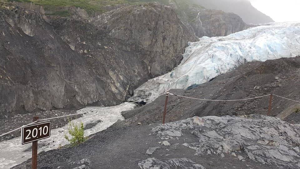
  • Interpretive signs add context on geology, ecology, and glacial retreat
  • Crowds thin dramatically on the upper trail for a quieter summit experience

CONS

  • Lingering snow can make the final mile tricky well into summer
  • Sustained grade (~1,000 ft per mile) feels mentally tougher than it looks
  • No potable water on route—everything must be carried
PARKING

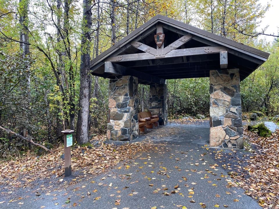
Park at the Exit Glacier Visitor Center at the end of Herman Leirer (Exit Glacier) Road; the trail begins from this area.

CAUTION

Strenuous climb with rapid weather shifts, lingering snowfields, and frequent bears. Carry bear spray, layers, and ample water/food; check NPS conditions and be prepared to turn around if visibility or footing worsens.

Why go

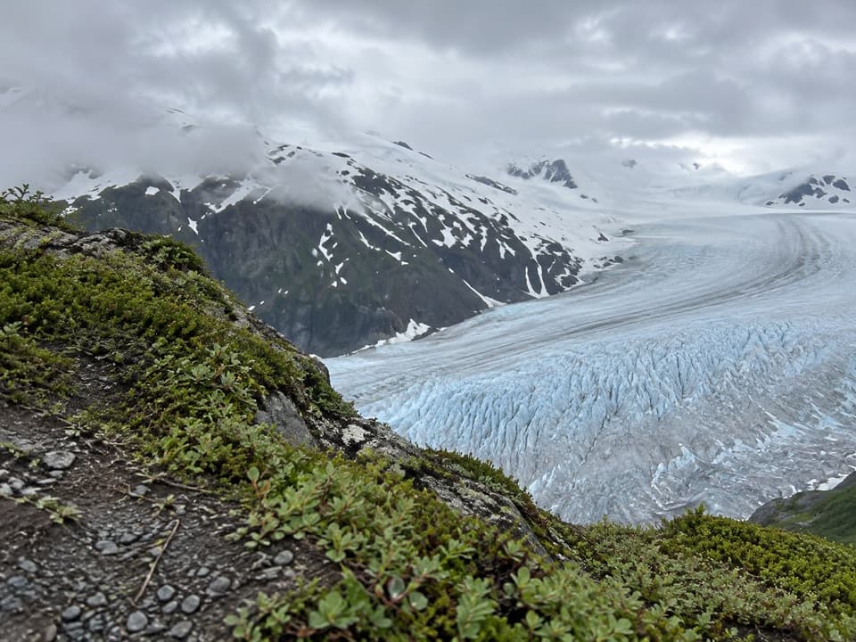
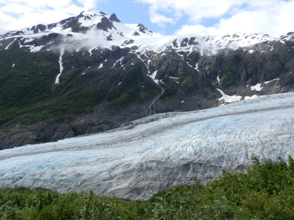
This is the park’s signature leg-burner—and the payoff is enormous. You climb from forest to tundra to stand above Exit Glacier with a horizon of ice stretching for miles across the Harding Icefield. If you can handle a strenuous ascent, it’s one of Alaska’s most memorable day hikes.

What to expect

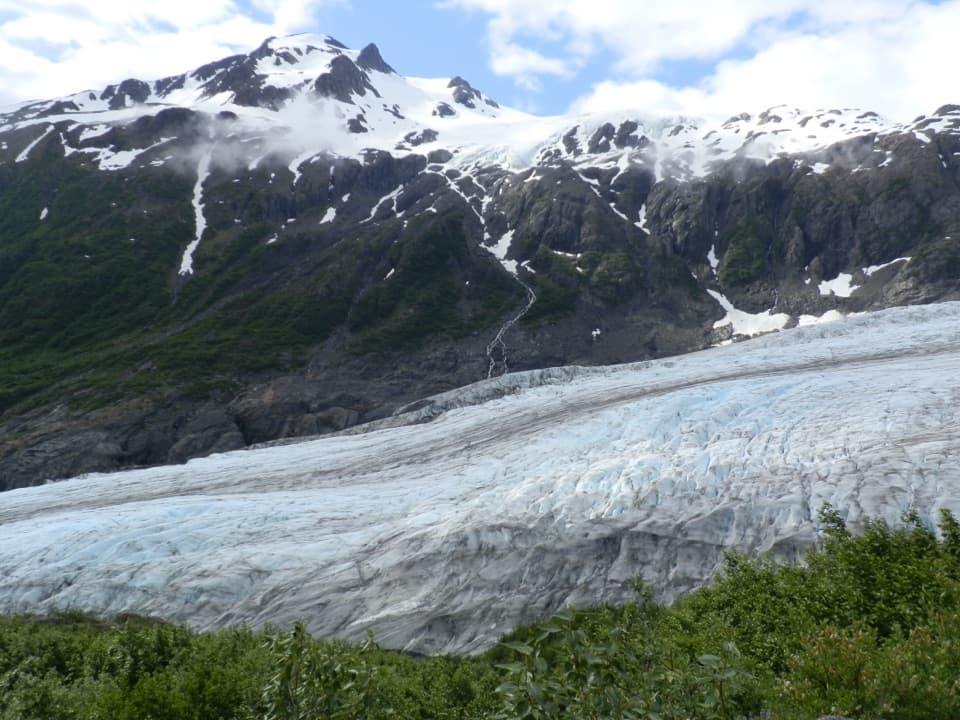
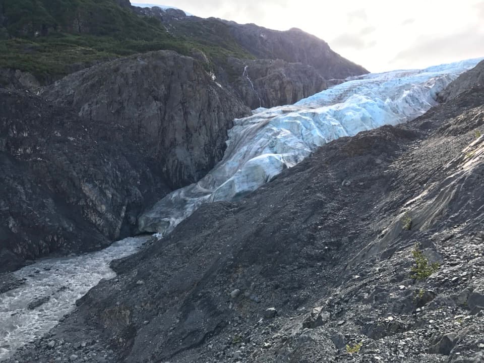
Start at the Exit Glacier Visitor Center and head onto a well-signed, out‑and‑back route through cottonwoods and alder before breaking into alpine meadows and rocky slopes. It’s about 8.2 miles total (round trip) with roughly 3,500 feet of gain, so plan on 6–8 hours. Early on you’ll peek at the blue ice of Exit Glacier; higher up, the views open wide to the valley, surrounding peaks, and finally the icefield. Expect interpretive signs along the way and a good chance of wildlife. Upper sections are quieter as fewer people push all the way to the top.

Season and safety

Snow can linger well into summer, especially near the top, and weather changes fast—wind, rain, or even snow are possible any month the trail is open. Bring layers, plenty of food and water (none available on the route), and trekking poles if snowfields remain. Bears are common (notably near Marmot Meadows); carry bear spray and make noise. Check current conditions with the NPS before you go, start early, and turn around if visibility or footing deteriorate.

Elevation

8.2 mi · 7 hr
Start · 129 mHigh point · 1070 mEnd · 1070 m

Where it starts

60.1883, -149.6316
Harding Icefield Trail

Wildlife on this trail

Near Harding Icefield Trail

All places →All trails →

More about Harding Icefield Trail

PARKWOLF TOUR GUIDE

Like a tour guide in your car.

Bring Kenai Fjords trail research into the car, with offline maps and stories that play as you drive.
Download Parkwolf on the App StoreGet Parkwolf on Google Play
The Parkwolf tour guide sitting on a phone mounted in a car
Get the Audio Tour Guide for your drive through Kenai FjordsOpen Parkwolf