
Place · 1.6 mi away
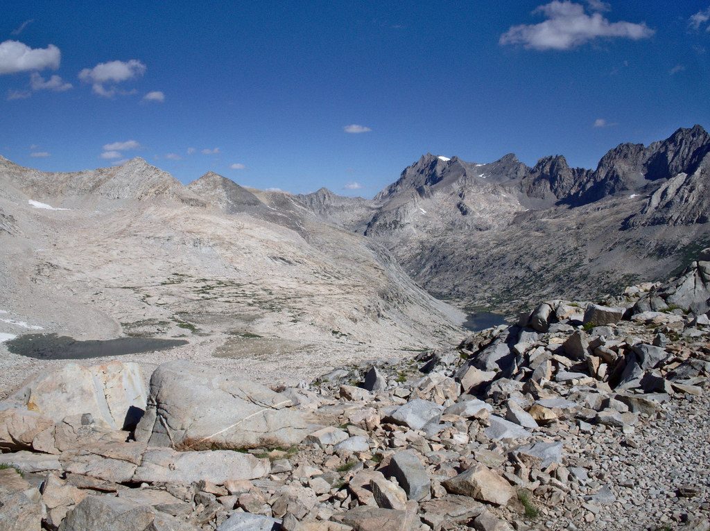
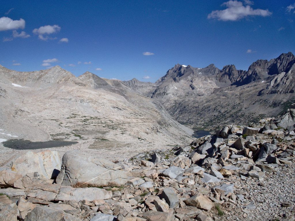
Mather Pass (12,093 feet) is a high, airy notch on the JMT/PCT between Upper Basin (South Fork Kings River) and the Palisade Basin/Palisade Lakes. It has a tough reputation in snow years, but in dry conditions the trail work is excellent and the climb is steady rather than technical. Expect classic High Sierra granite, glacial basins, and big horizons.
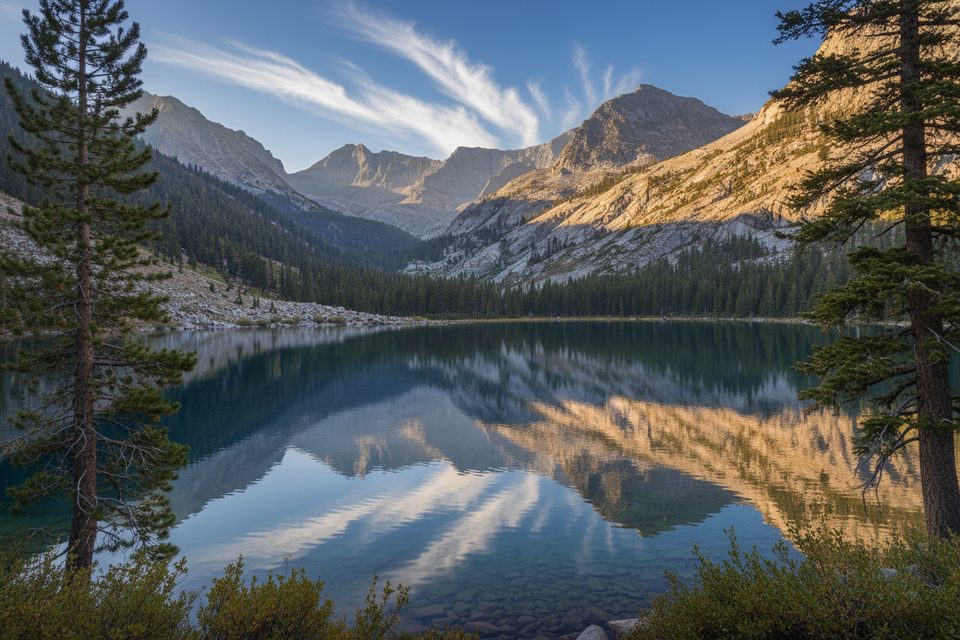
North of the pass opens to the Palisade Crest and the lake-dotted Palisade Basin—prime High Sierra eye candy. Southward, gentle meadows and slabs of Upper Basin lead toward the South Fork Kings. It’s a granite-and-water tableau that defines this part of the Sierra.
Early season is the crux. A cornice often forms on the south side; many hikers bypass on rock to the west (generally Class II with short Class III). The north side can be an icy chute in the morning; timing your day to descend on softer snow is safer. Traction and an ice axe are recommended when snow lingers. High runoff can also complicate South Fork Kings crossings—scout and only ford where it’s safe.
You’ll need a wilderness permit for overnight travel. Check the park’s trail conditions page when planning, especially outside peak season, as updates can be sporadic. Black bears are common in the broader area—store food properly and follow standard backcountry practices.
Late season after most snow has melted is the easiest, with more predictable footing and simpler river crossings. Start early for cooler uphill travel and crisp light on the Palisades; if snow remains, time the north side for late morning or early afternoon when it softens.
Place · 1.6 mi away
Place · 4.9 mi away
Place · 5.2 mi away
Place · 5.8 mi away
Challenging · 11.1 mi away
Challenging · 17.6 mi away
Challenging · 17.7 mi away
Challenging · 17.7 mi away

Parkwolf Tour Guide
